FR 394
Total Miles
4.6
Technical Rating
Best Time
Spring, Summer, Fall
Trail Type
Full-Width Road
Accessible By
Trail Overview
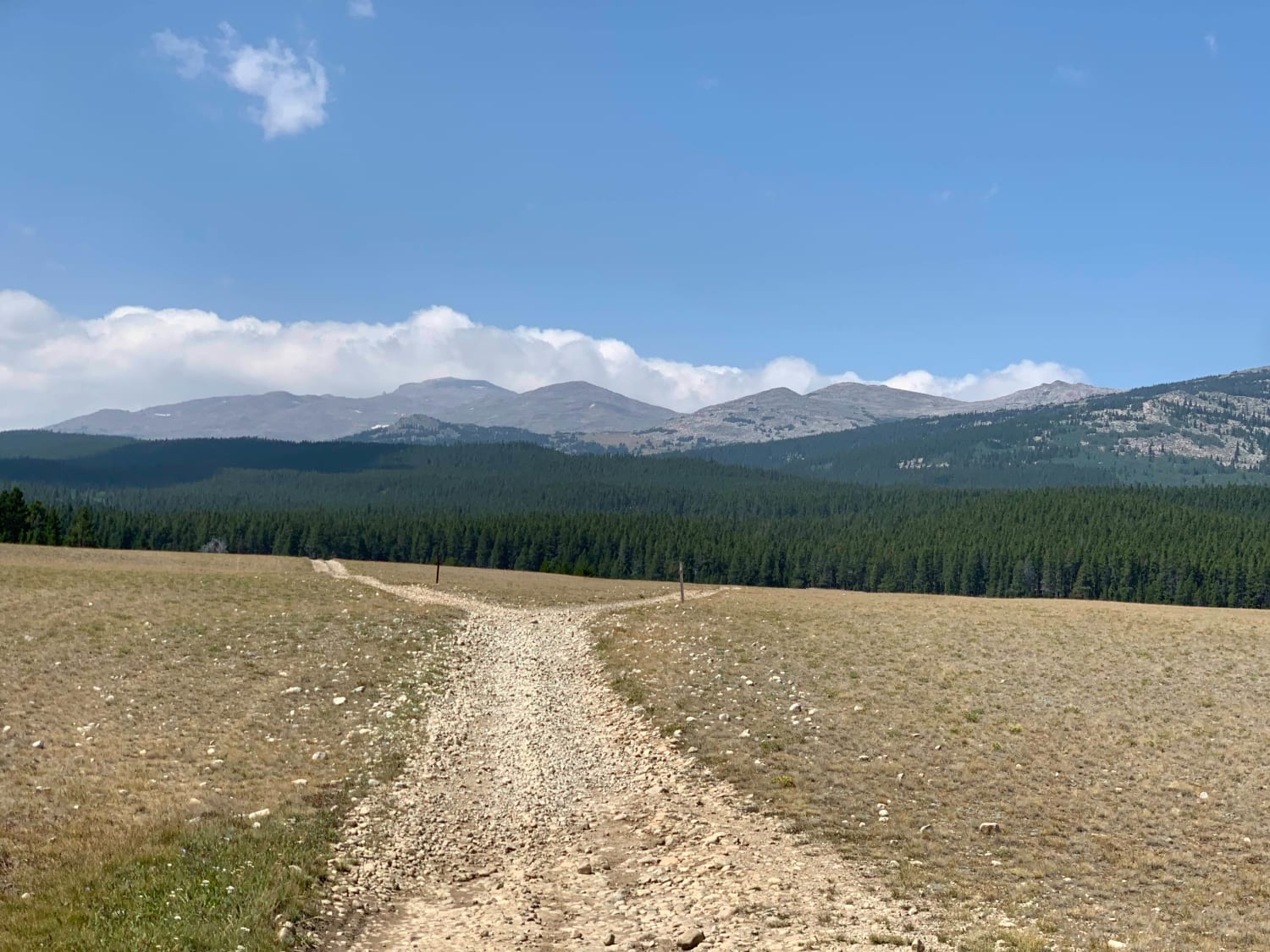
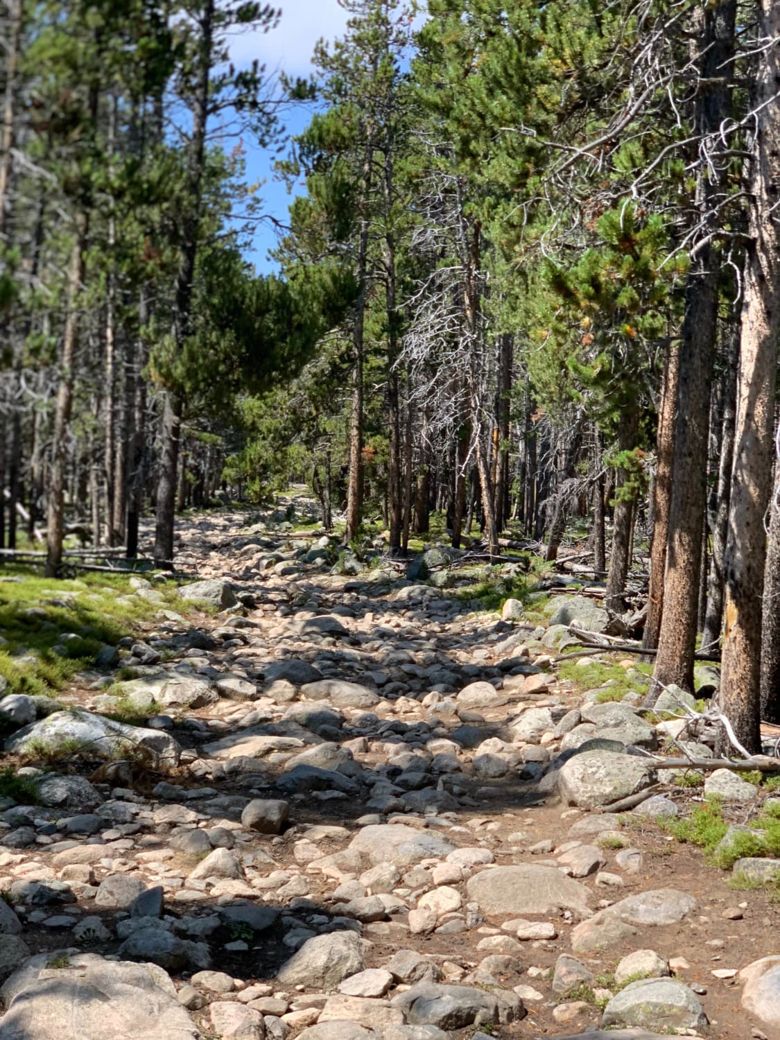
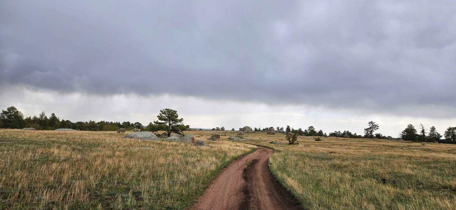
FR 349 is an out and back trail that begins at Hunter Campground and ends at the boundary to the Cloud Peak Wilderness. The first 4 miles are mostly one vehicle wide with few pull outs so you may find yourself having to back-up to yield right-of-way. This portion of the trail is rocky but fairly easy with a few shallow hard bottom puddles. At approximately mile 4 you enter a large clearing with dispersed camping available. The last .7 of a mile to the wilderness is an almost non-stop boulder field with large rocks and one slick, potentially deep mud hole. There is a bypass to the right of the mud hole. At the end of the trail there are two dispersed campsite at the wilderness boundary and a foot trail leads into the wilderness. The North Clear Creek is a short walk from the trail from approximately mile 4 and offers excellent fishing. This trail is used extensively by equestrians so be on the look out for horses.
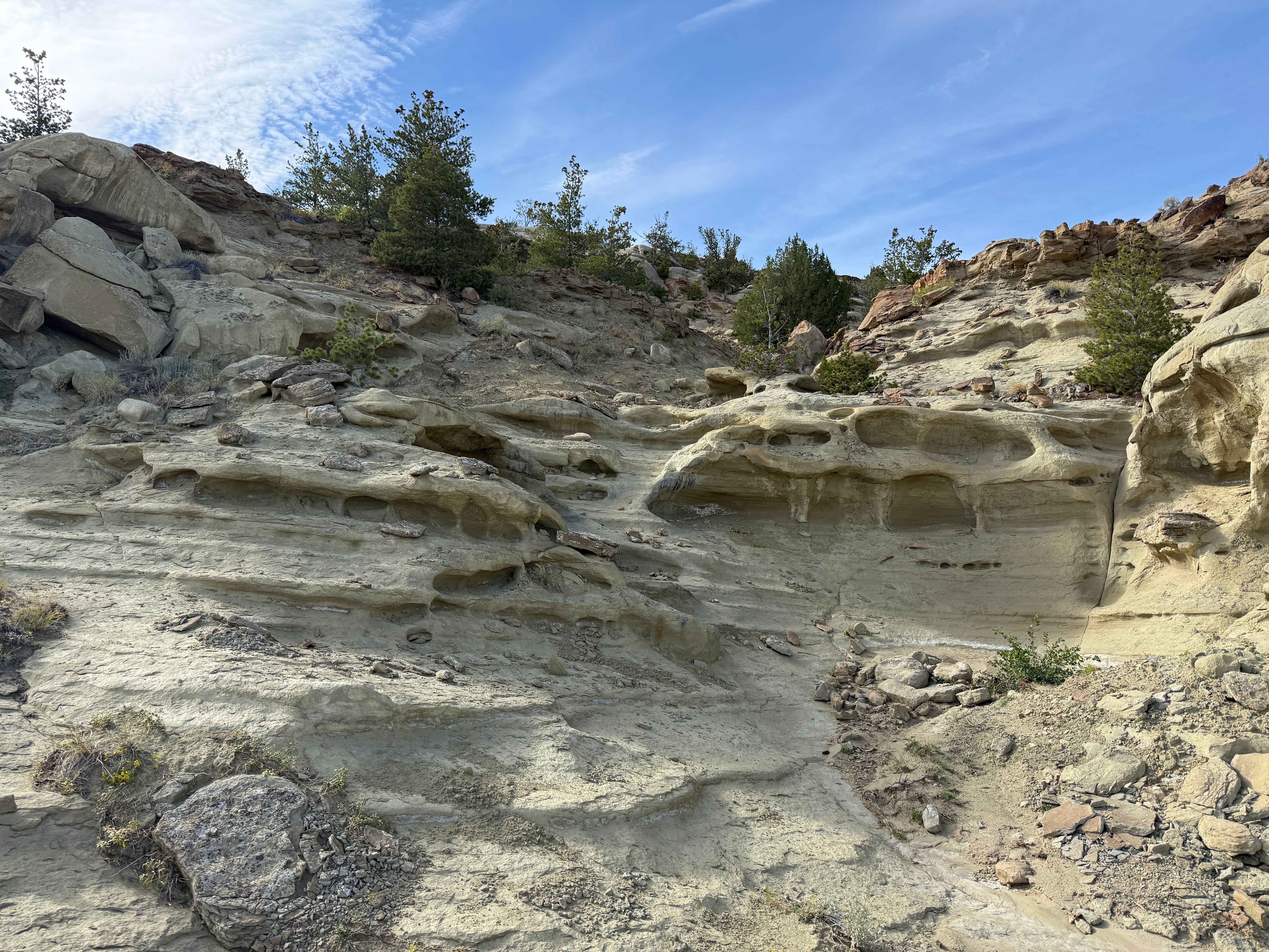
Photos of FR 394
Difficulty
First 4 miles is easy with some rocks, washes, and hard bottom puddles. The last ~.7 of a miles is a non-stop boulder field requiring high clearance with potential for damage.
FR 394 can be accessed by the following ride types:
- High-Clearance 4x4
- SUV
- SxS (60")
- ATV (50")
- Dirt Bike
FR 394 Map
Popular Trails
Old Palisades
Prairie Dog Chase
The onX Offroad Difference
onX Offroad combines trail photos, descriptions, difficulty ratings, width restrictions, seasonality, and more in a user-friendly interface. Available on all devices, with offline access and full compatibility with CarPlay and Android Auto. Discover what you’re missing today!
