Rattlesnake Ridge Road
Total Miles
20.5
Technical Rating
Best Time
Spring, Summer, Fall, Winter
Trail Type
Full-Width Road
Accessible By
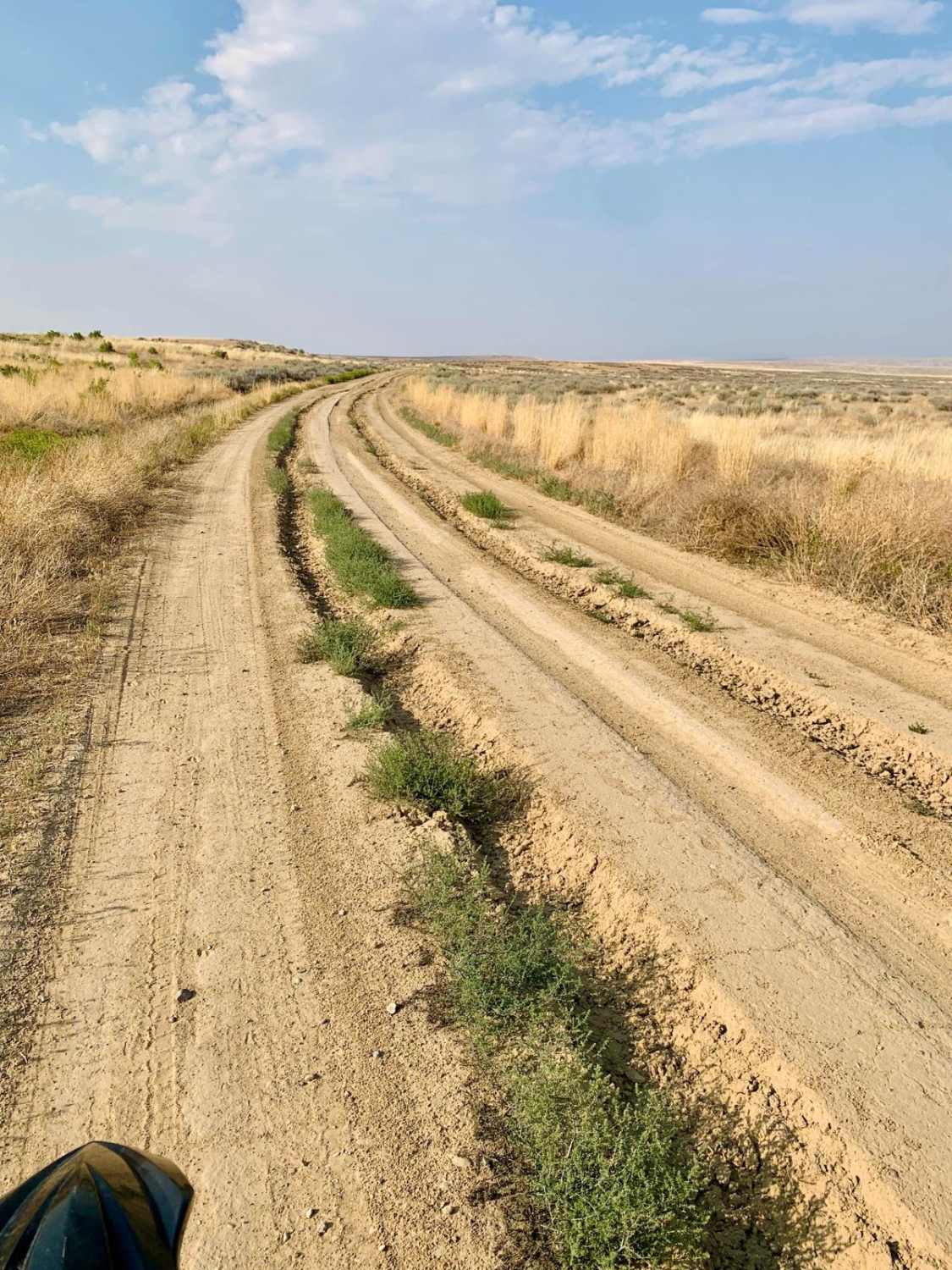
Trail Overview
A scenic dirt trail that follows a winding path along the edge of the badlands cliff ridge overlooking the river valley. The trail traverses prairie grassland and eroded badlands canyons with spectacular colors and rock formations. Highly recommended to ride this trail near sunrise or sunset as the colors of the badlands become much more prominent in the golden hour. Pronghorn, coyotes, and rabbits are abundant. Cell service is good along most of the route. Many of the offshoots of this trail that lead down the hill turn into private property. Fuel is available in Basin and in Worland. No fuel is available in Manderson. There are two fence gates that you will cross, please always close the gate behind you.
Photos of Rattlesnake Ridge Road

Difficulty
The trail is primarily dirt, with some short soft silty sections, and some areas that have tire ruts 8-10 inches deep. 4WD high clearance is recommended. The first 2-3 miles of the trail on the north and south sections is a semi-maintained 2-lane gravel road, however in the middle of the trail, once you pass the oil fields, the trail narrows to a single car width with shrubs grown into the trail on either side that may cause minor paint scratches. The trail is primarily flat, with some minor very short hill climbs. This trail should not be attempted when muddy, as it causes excessive trail damage and can become impassible due to the gluey soil.
Status Reports
Rattlesnake Ridge Road can be accessed by the following ride types:
- High-Clearance 4x4
- SUV
- SxS (60")
- ATV (50")
- Dirt Bike
Rattlesnake Ridge Road Map
Popular Trails
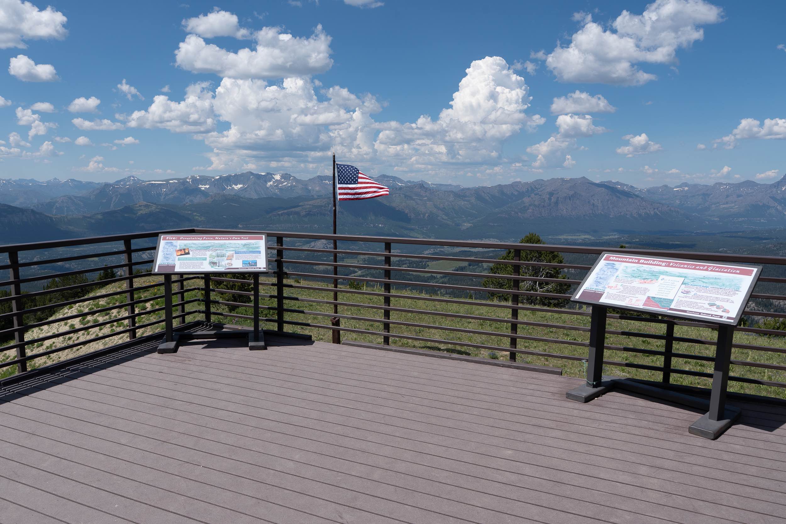
Clay Butte Lookout Tower

Adobe Town North Rim
Toppings Lake Trail Loop
The onX Offroad Difference
onX Offroad combines trail photos, descriptions, difficulty ratings, width restrictions, seasonality, and more in a user-friendly interface. Available on all devices, with offline access and full compatibility with CarPlay and Android Auto. Discover what you’re missing today!