Ridge Runner Loop
Total Miles
7.9
Technical Rating
Best Time
Spring, Summer, Fall
Trail Type
60" Trail
Accessible By
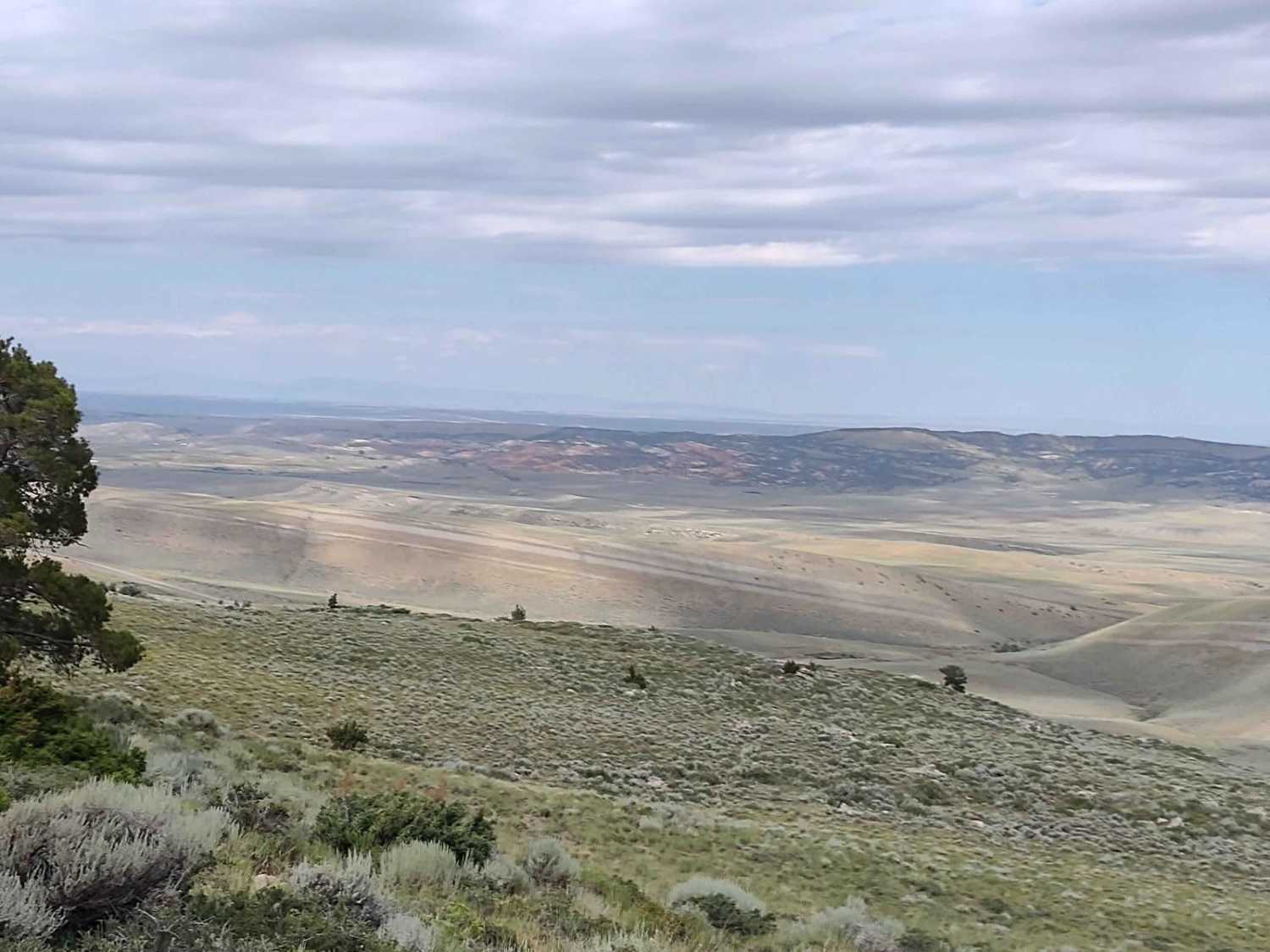
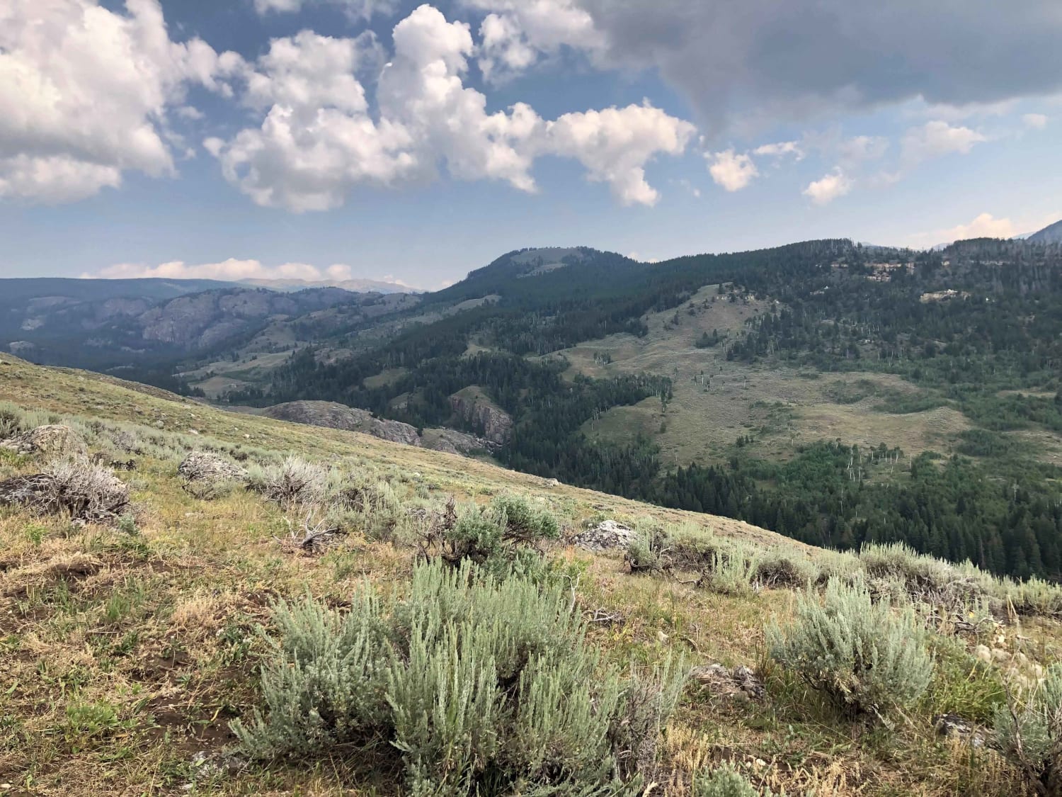
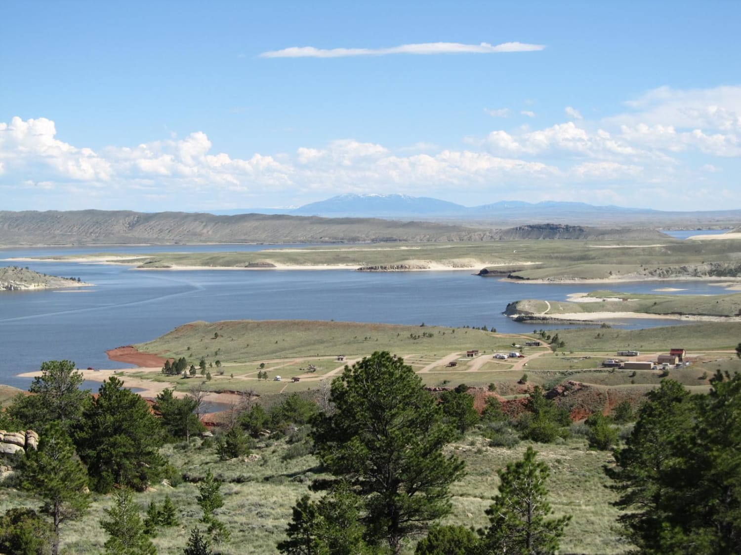
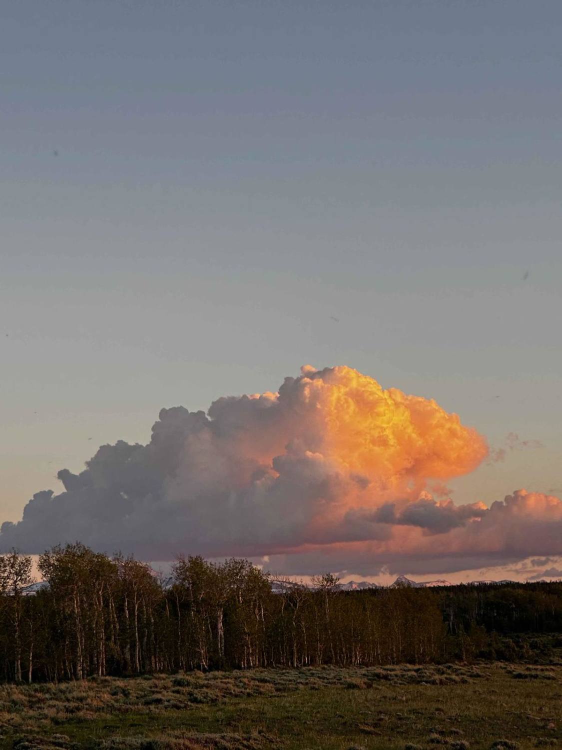
Trail Overview
Just south of the Red Canyon Rd exit on Hwy 28, there is a strip of BLM land between the highway and Red Canyon. This trail runs along the ridge, high above the highway, and then circles to the Red Canyon side. To complete the loop, you must go down through a wash (which was dry in August) and then up a steep trail along the powerline. This land is used for cattle grazing, so if the gates are closed when you arrive, close them after you go through. Some parts of the trail are easy dirt, in other areas there are loose rocks on the trail. But nothing about it is hard.
Photos of Ridge Runner Loop

Difficulty
The potential for the wash to have water will be greater in early spring, but by mid summer it was dry. The steepness of the climb to get back to the powerline trail to complete the loop qualifies as a 3, but it's not hard.
Status Reports

Popular Trails
Paintrock Falls
Seminoe-Alcova Backcountry Byway

Lost Creek Ranch Road
57 Route - Willow Creek
The onX Offroad Difference
onX Offroad combines trail photos, descriptions, difficulty ratings, width restrictions, seasonality, and more in a user-friendly interface. Available on all devices, with offline access and full compatibility with CarPlay and Android Auto. Discover what you’re missing today!