Wiggins Fork
Total Miles
18.2
Technical Rating
Best Time
Summer, Fall
Trail Type
Full-Width Road
Accessible By
Trail Overview
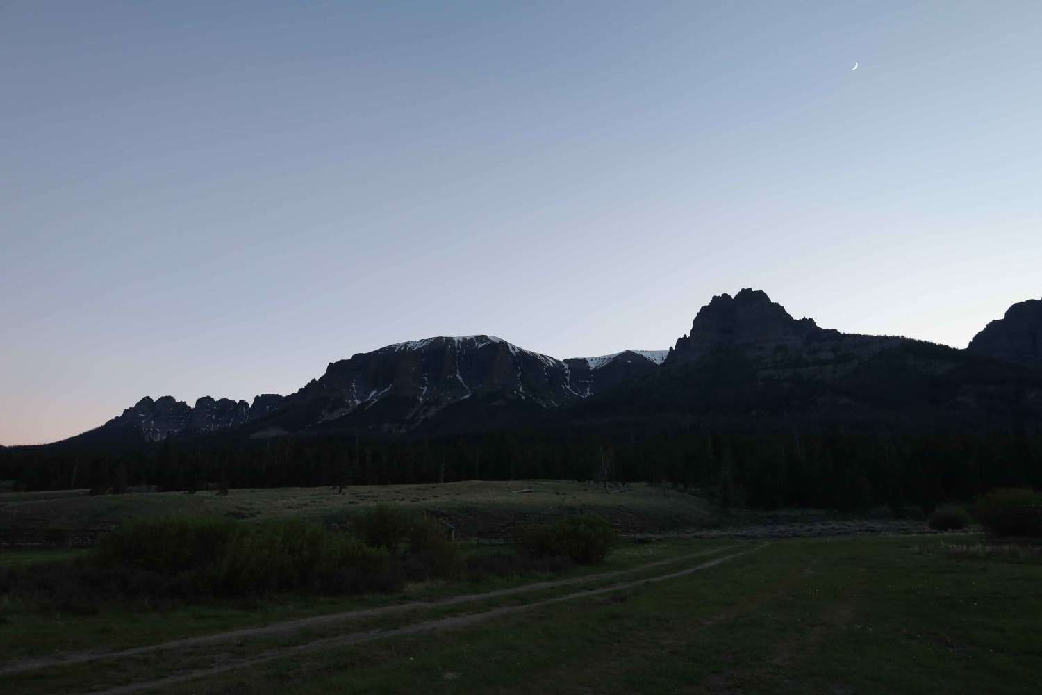
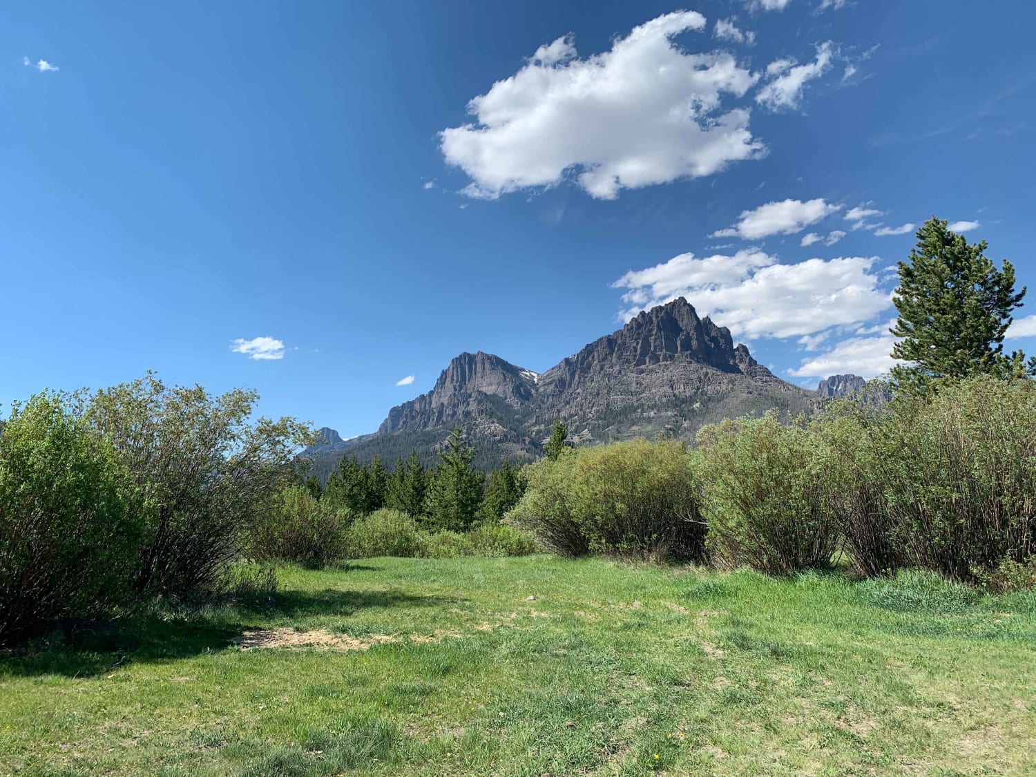
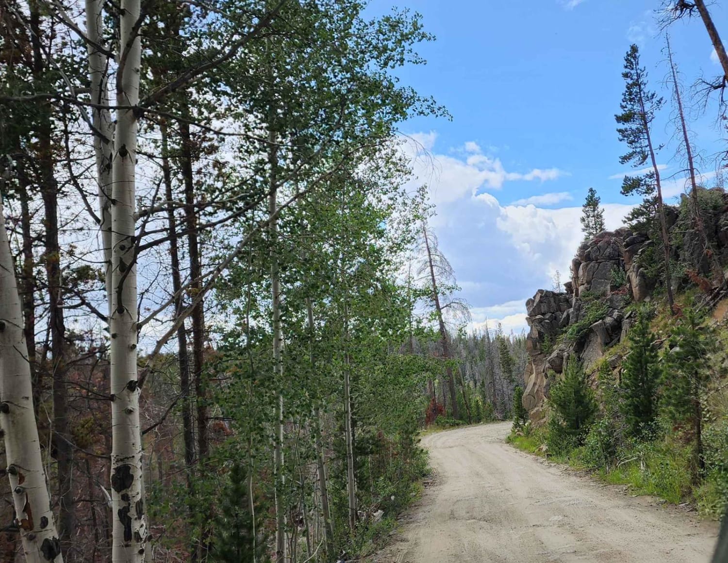
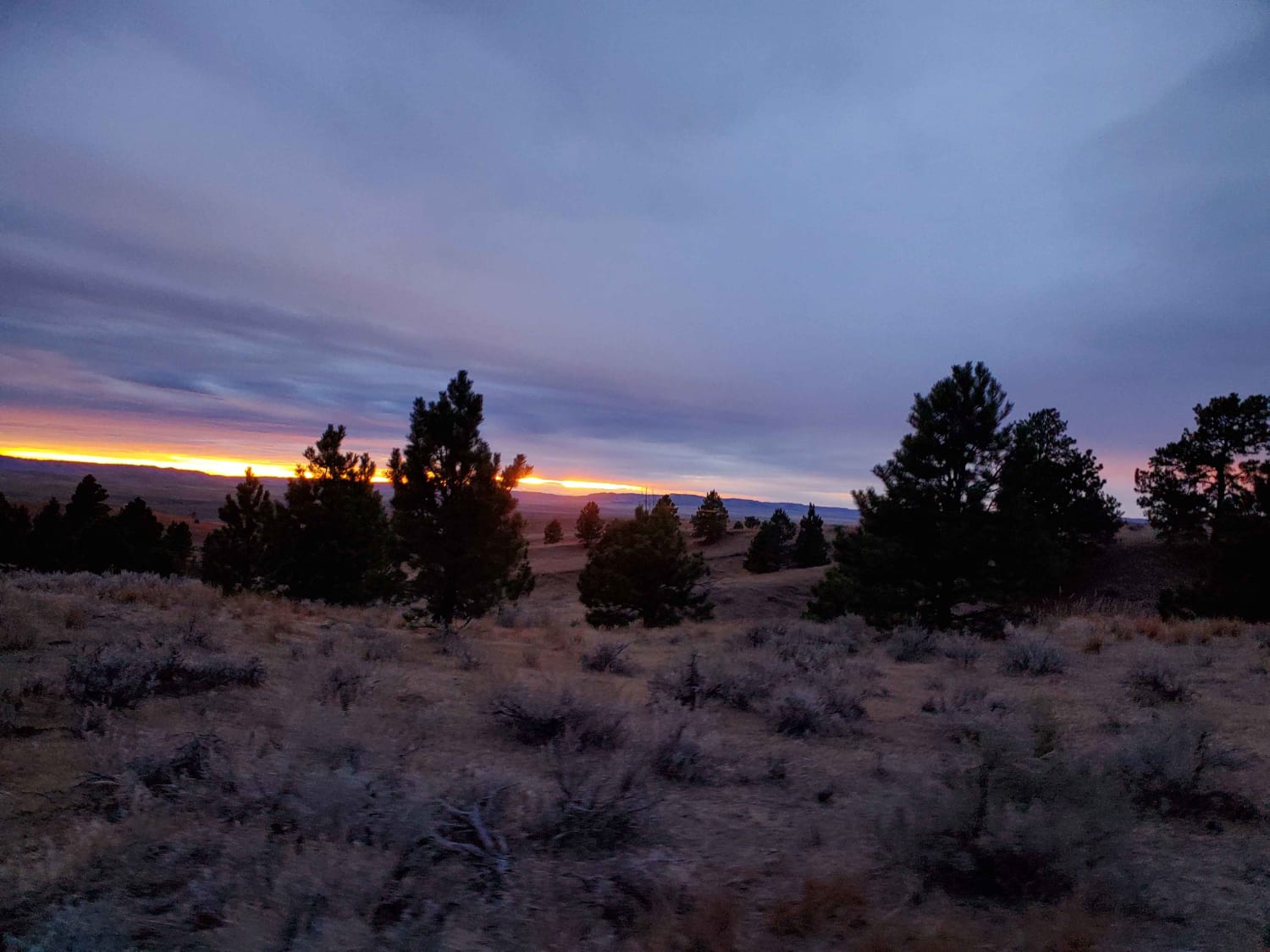
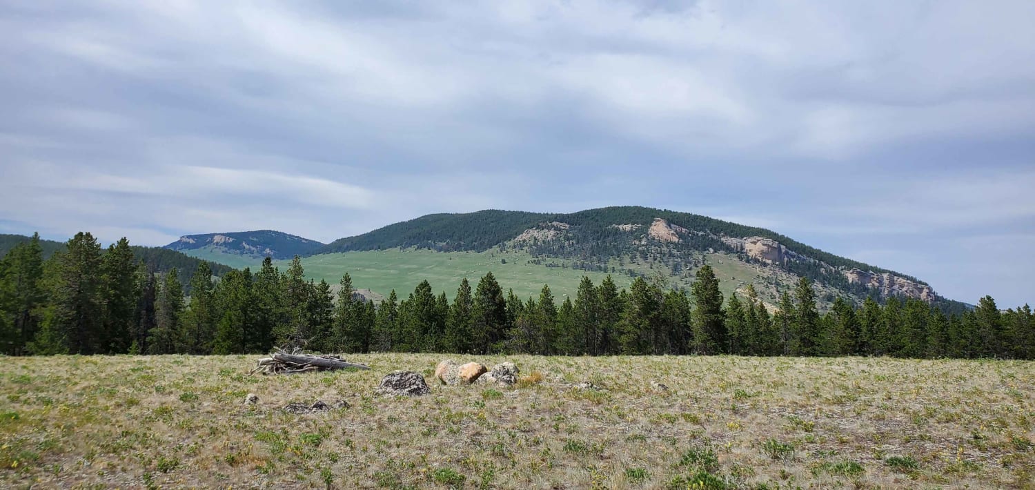
When navigating this Forest Service road, you will find it mostly easy with views of rolling meadows to start. But the further you go, the terrain changes from a maintained dirt road to one that has small ruts, switchbacks, and rocks--nothing any 4WD or AWD vehicle can't get through. Along with the changing road conditions, the terrain will change to tall rock formations and snow-peaked mountains that seem to tell the story of the Tetons just west of them. There are water crossings, but you won't get wet due to country bridges. You will pass a campground that during the season has a host; you can park and fly fish there too. In all, it will take about 45 minutes to make it to the end, but the reward is beyond describing. Just be ready to end up in an area with very large open meadows and another campground along with dispersed camping. Of course, the sunrises and sunsets on these mountain peaks are amazing. Once you get to the end of this route, you can trout fish, hike, and walk the creeks to look for petrified wood that's washed down from the mountains.
Photos of Wiggins Fork
Difficulty
There's nothing really technical about this other than it's a little rough from the washboard road and occasional sections where it's a little bumpy from the rocks or ruts. You won't need 4WD to do this unless it's been raining; then it's possible it would be too muddy.
Status Reports
Wiggins Fork can be accessed by the following ride types:
- High-Clearance 4x4
- SUV
- SxS (60")
- ATV (50")
- Dirt Bike
Wiggins Fork Map
Popular Trails
Big Goose/Game Creek
The onX Offroad Difference
onX Offroad combines trail photos, descriptions, difficulty ratings, width restrictions, seasonality, and more in a user-friendly interface. Available on all devices, with offline access and full compatibility with CarPlay and Android Auto. Discover what you’re missing today!
