Tater Ridge
Total Miles
16.6
Elevation
2,687.13 ft
Duration
3 Hours
Technical Rating
Best Time
Summer
Trail Overview
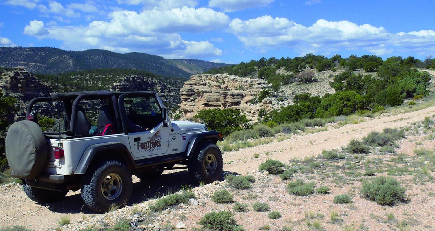
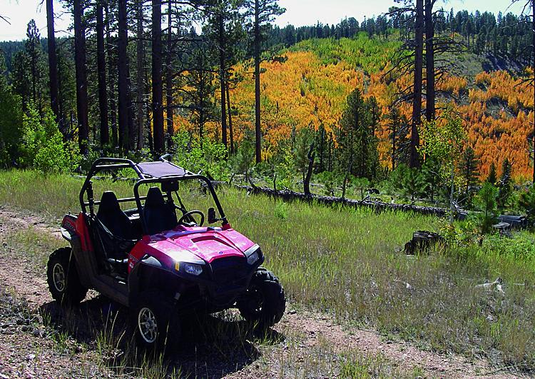
This trail comes down just north of Grand Canyon National Park. You'll find many options for camping and a lot of different side roads to play on. Unlicensed vehicles are allowed here. If you want to experience the fall colors, take this trip in the fall.
Photos of Tater Ridge
Difficulty
Easy. Mostly hard-packed dirt with occasional embedded rock. Trail gets rougher after Waypoint 03, but in dry conditions, is doable in most stock sport utility vehicles.
Status Reports
Popular Trails

Peace Trail West

AZ Peace Trail to Linda Mine and Memorial

Grassy Point Road - BLM 1046

ATV Spur Trails Boulevard
The onX Offroad Difference
onX Offroad combines trail photos, descriptions, difficulty ratings, width restrictions, seasonality, and more in a user-friendly interface. Available on all devices, with offline access and full compatibility with CarPlay and Android Auto. Discover what you’re missing today!

