Harris Creek Trail
Total Miles
13.9
Elevation
1,979.47 ft
Duration
1.5 Hours
Technical Rating
Best Time
Spring, Summer, Fall
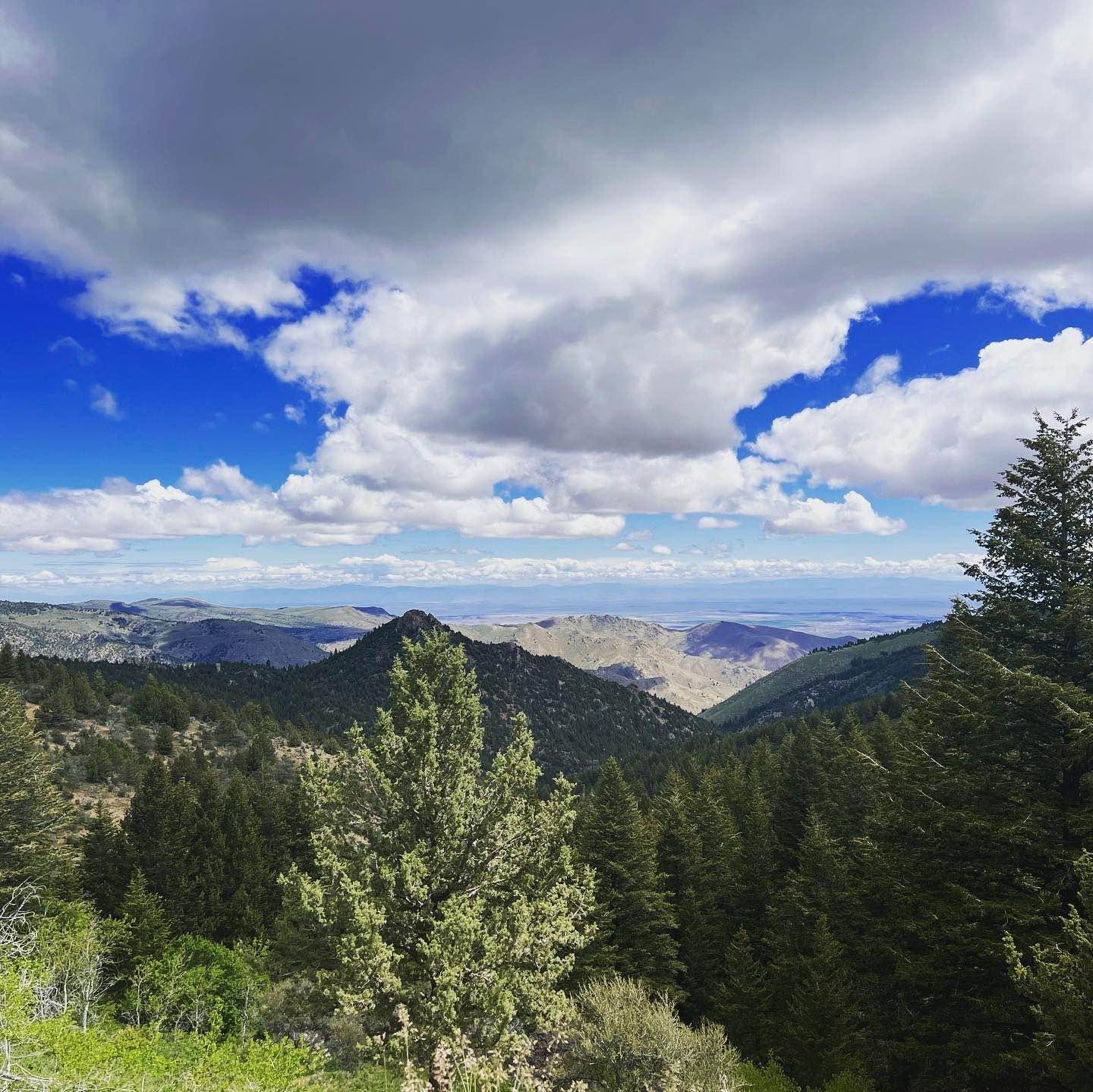
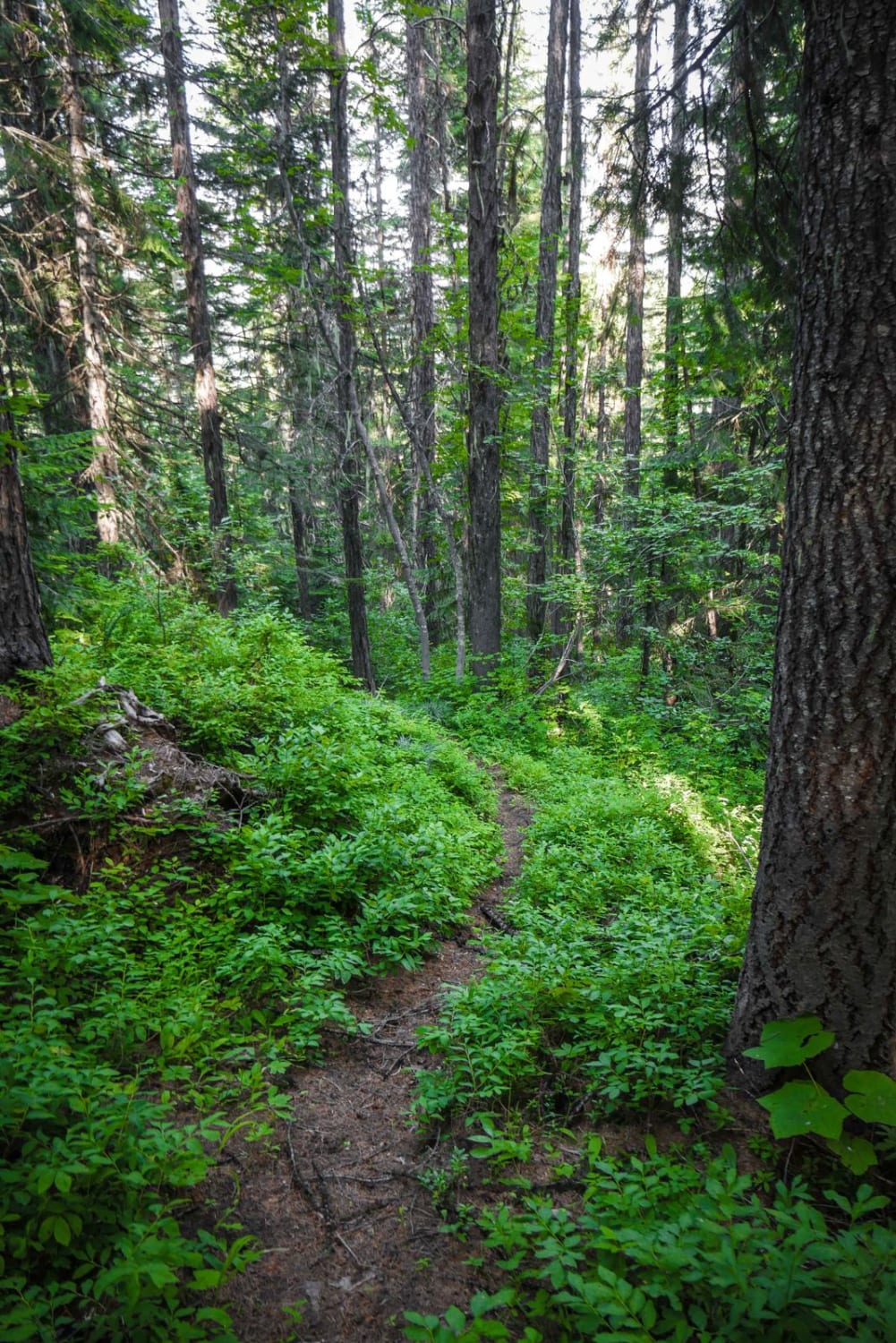
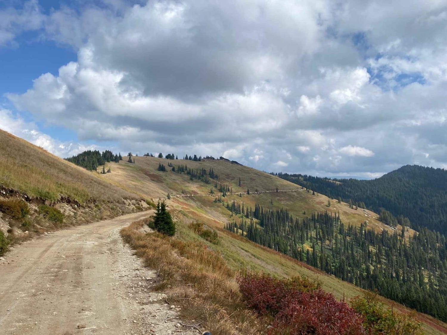
Trail Overview
This 13.9-mile point-to-point trail connects the Bogus Basin area to the Harris Creek area. Stop at 3.5 miles from Bogus Basin and hike out to Coyote Rock, or stop at 7.4 miles from Bogus Basin and check out Sugarloaf Rock. There are several other hiking trails to explore along this route. There is camping at Shafer Butte 2.8 miles from Bogus Basin. This is a great summer afternoon drive through the mountains.
Photos of Harris Creek Trail

Difficulty
The trail is mostly single vehicles with turnouts. All obstacles are less than 12" in height. Passable by all 4WD and most AWD vehicles.
Status Reports
Popular Trails

Canfield Mountain- Trail 9
Mozier Peak

Rough and Tumble
The onX Offroad Difference
onX Offroad combines trail photos, descriptions, difficulty ratings, width restrictions, seasonality, and more in a user-friendly interface. Available on all devices, with offline access and full compatibility with CarPlay and Android Auto. Discover what you’re missing today!