Mozier Peak
Total Miles
3.7
Technical Rating
Best Time
Fall, Summer, Spring
Trail Type
Single Track
Accessible By
Trail Overview
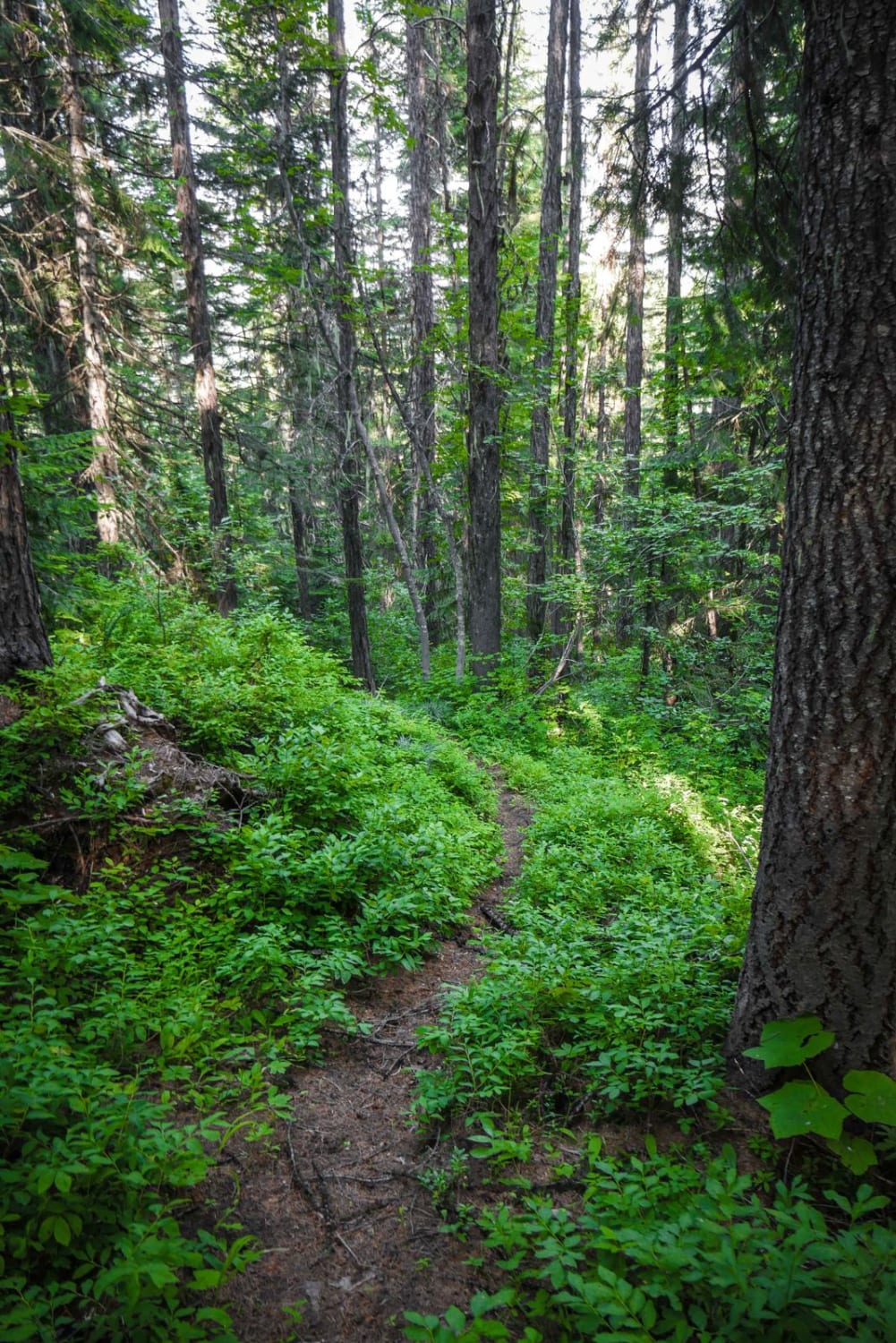
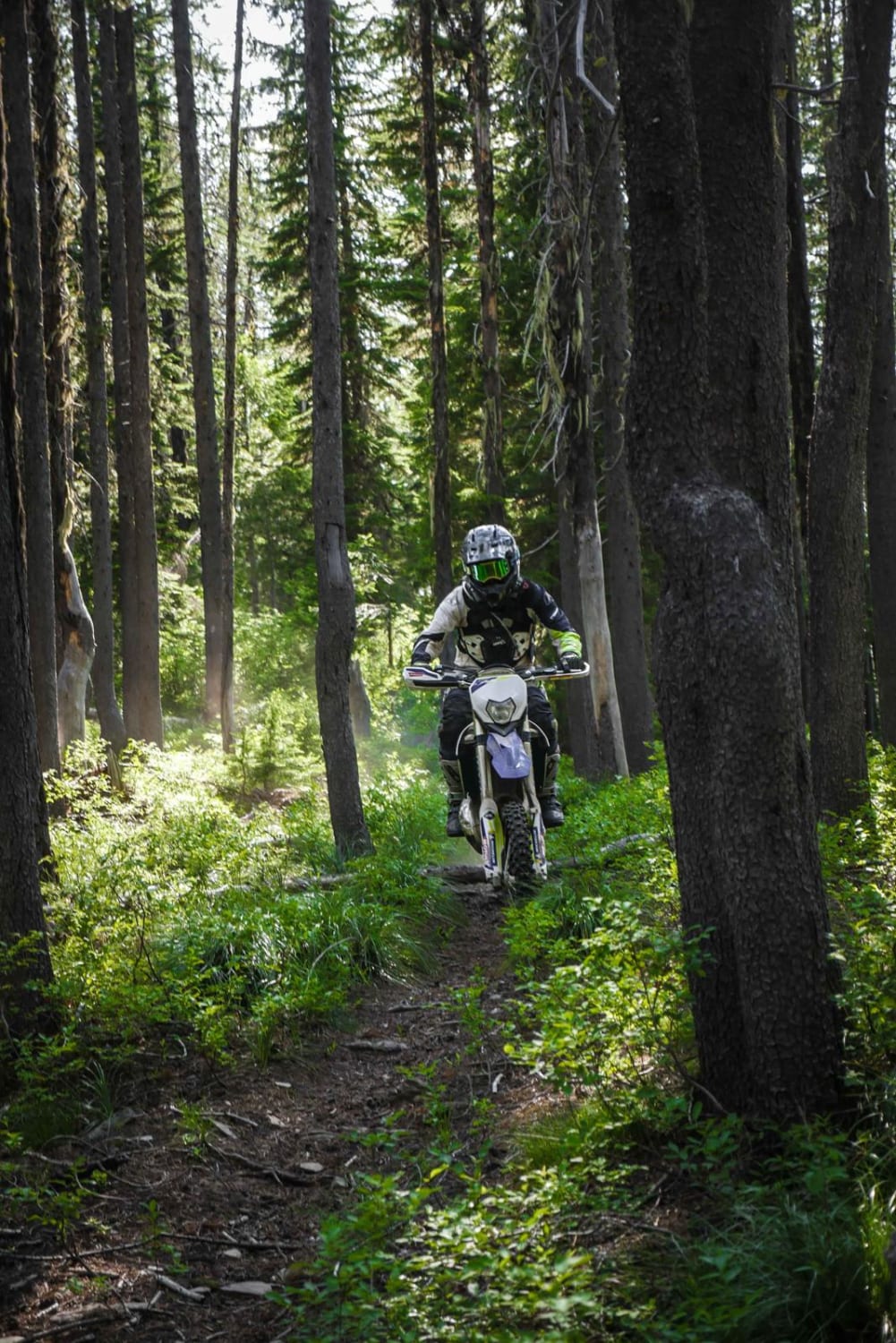
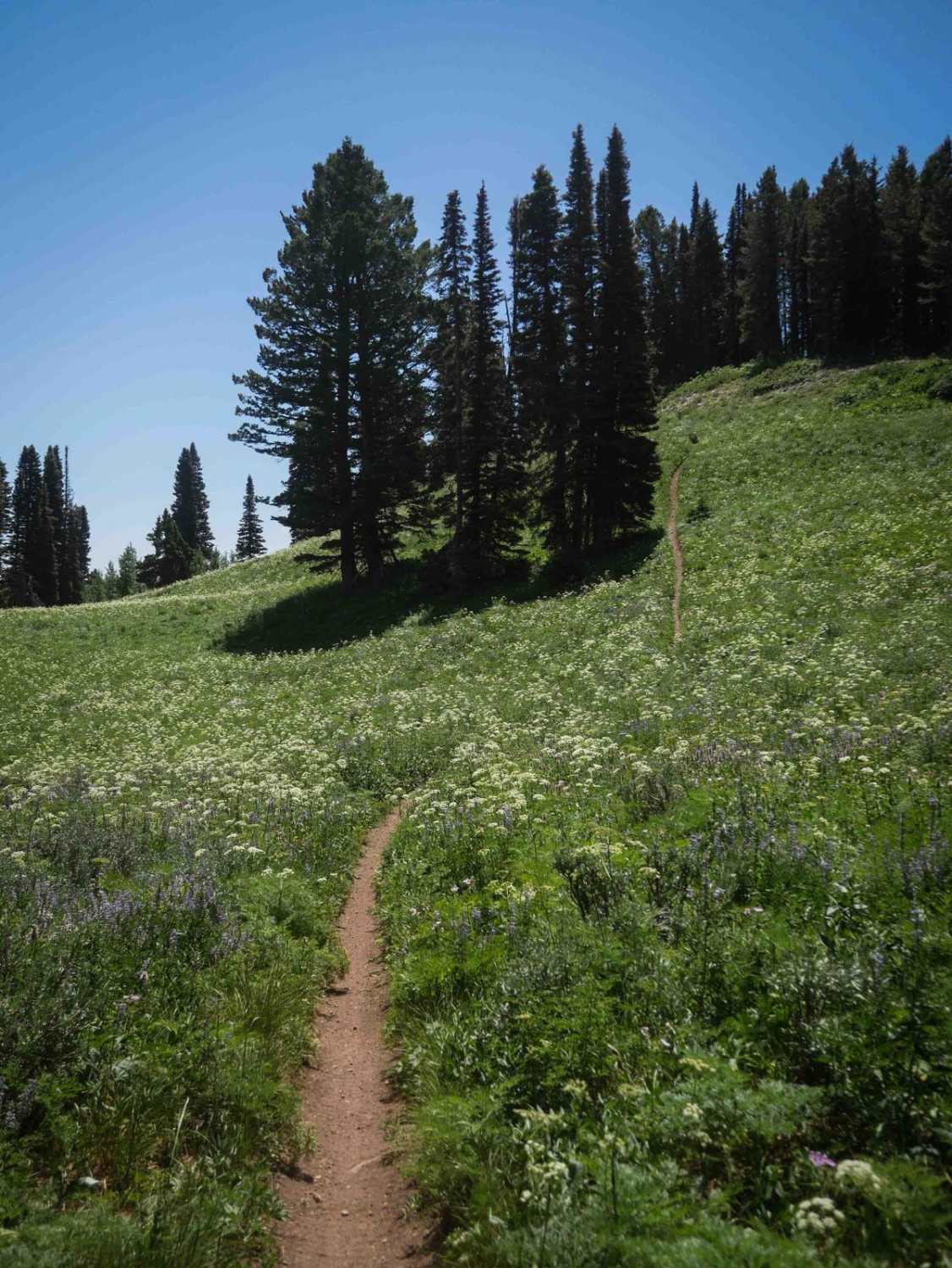
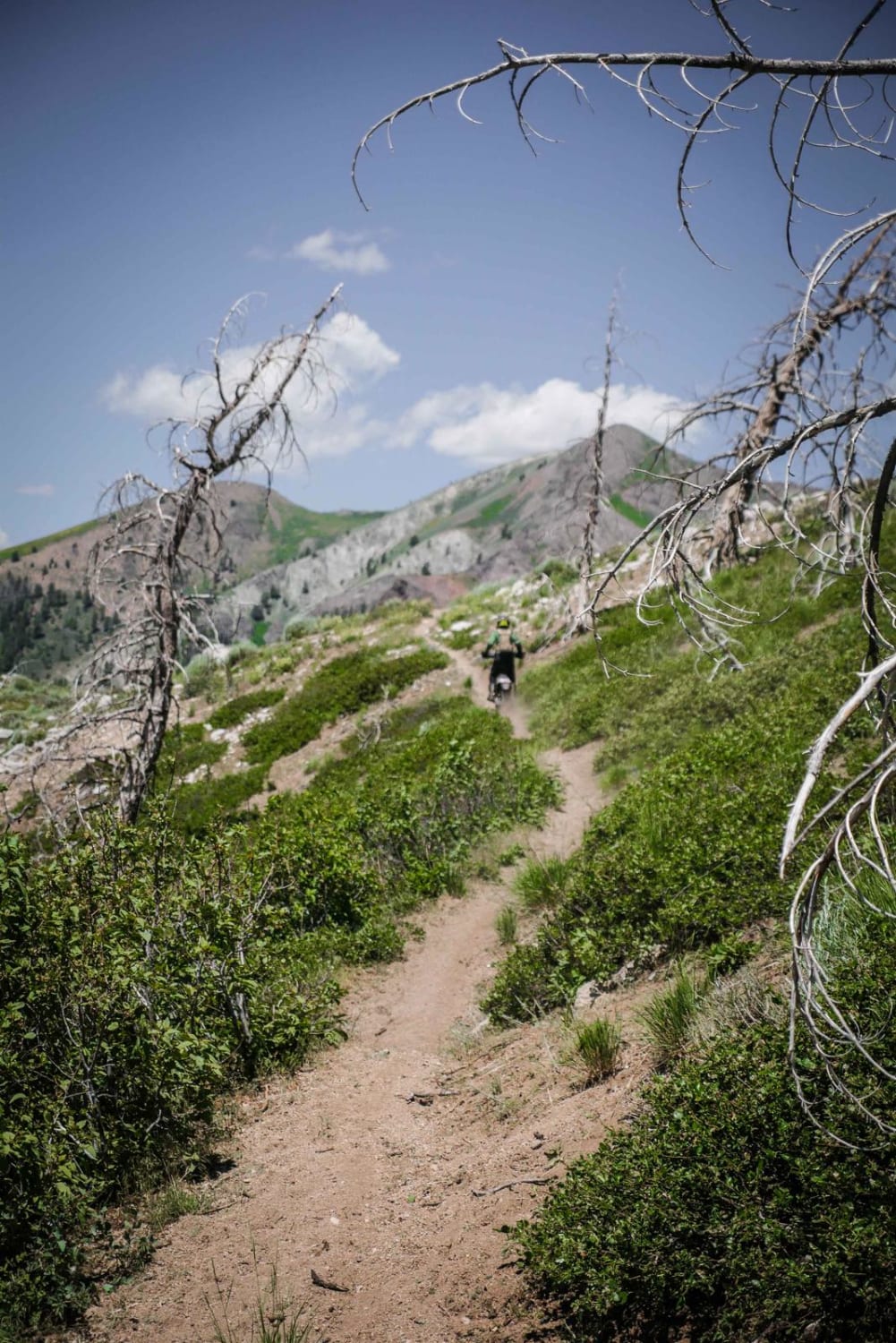
Mozier Peak is an advanced trail due to extremely steep sections that would make going up this trail very difficult. To go down this trail instead of up, start at the intersection with Arid Peak and ride north towards Moon Pass Road. It starts out from the intersection with Arid Peak in the pine trees on a saddle, but then gets super steep along a spine as it loses 2,700 feet over 4 miles down to Moon Pass Road. There's lots of downed logs along the spine, but on most you are either able to ride under or over, and there's tons of overgrowth. There's sections with embedded rocks in the downhill that add to the challenge. It gets even more steep near the north end as the trail goes straight down a spine. The trail doesn't have any switchbacks and instead just goes straight down, which is why it is so steep. It ends in a small creek and then has a big creek crossing at the intersection with Moon Pass Road. The crossing is pretty deep, but the rocks are smooth so you can carry momentum through it.
Photos of Mozier Peak
Difficulty
Extremely steep sections make going up this trail an advanced rating of 8, but going down would be significantly easier and would be a rating of 6.
Status Reports
Mozier Peak can be accessed by the following ride types:
- Dirt Bike
Mozier Peak Map
Popular Trails
Wolftone - Curran
Striped Peak ATV
Coyote Creek #5122
The onX Offroad Difference
onX Offroad combines trail photos, descriptions, difficulty ratings, width restrictions, seasonality, and more in a user-friendly interface. Available on all devices, with offline access and full compatibility with CarPlay and Android Auto. Discover what you’re missing today!
