Boulder Creek Left Trail
Total Miles
2.9
Technical Rating
Best Time
Summer, Fall
Trail Type
Full-Width Road
Accessible By
Trail Overview
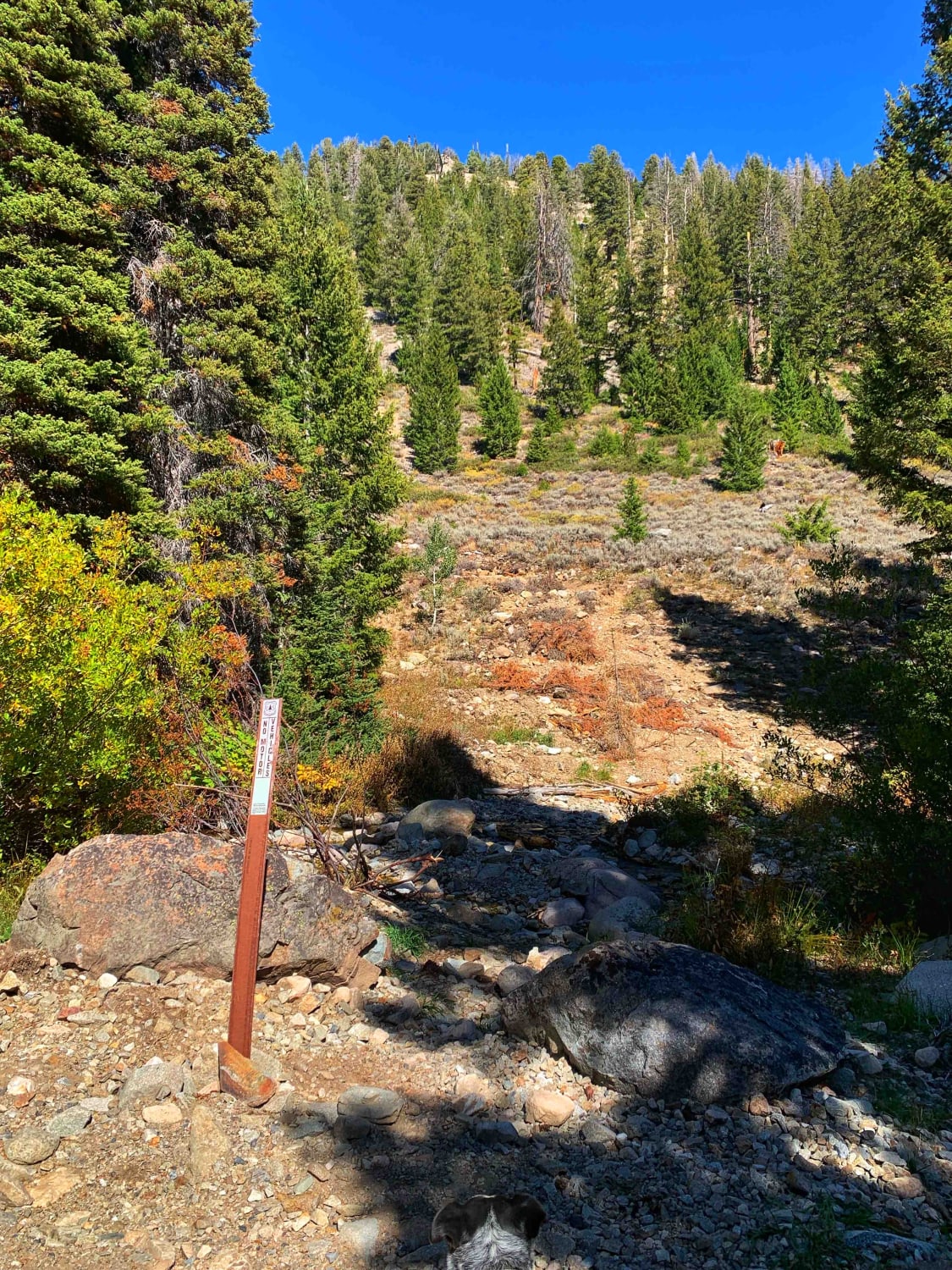
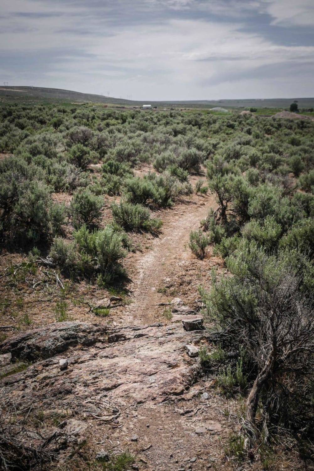
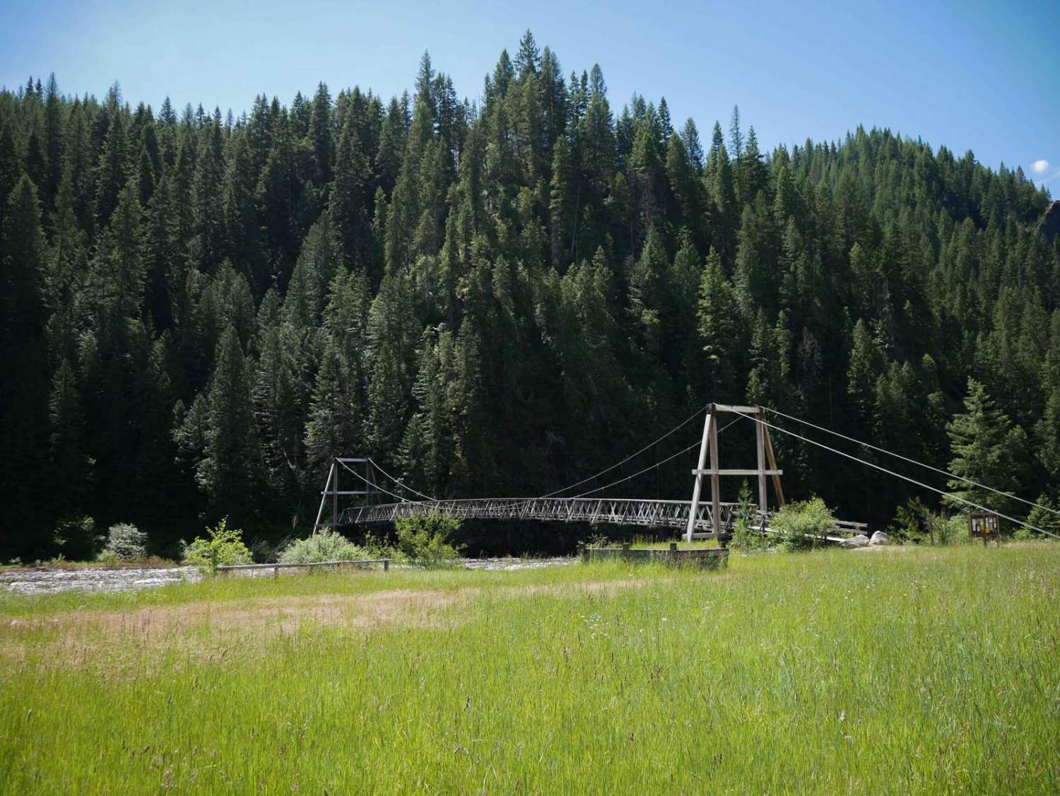
Bumpy rocky trail with beautiful views that take you up to the base of 3 mountains. The trail is not difficult, but 4x4 high clearance and air down recommended for comfort. At the very beginning of the trail just after turning of HWY 74 are several dispersed campsites accessible to any vehicle and would be a good place to camp or stop if pulling a SxS, Dirt Bike or ATV. The trails begin through some lower grassy hills then there are several aspen groves along to drive through and they are quite pretty in the fall. The last section of the trail climbs up along the side of one of the mountains and is a narrow one-vehicle section. It turns at the top into a dense treed section. These last two narrow stretches are the most challenging just because there are no good areas to pull off for other vehicles until the end of the trail. At the end is a small turnaround or parking area in the trees. It looks like the trail used to continue across a small creek but has a trail rehabilitation sign now. The small creek is nice. Would recommend not running the trail all the way to the end and turning at a left fork before the trailhead up the mountainside. At the left fork is a nice dispersed campsite in the trees with a stunning view of the mountains. This is an excellent area to call the night or stop in the shade for lunch.
Photos of Boulder Creek Left Trail
Difficulty
Very bumpy rocky dirt trail, last mile or so is a narrow road running along the side of the mountain with no places for other vehicles to pass except at the top before it turns into the tress or at the end of the trail at the creek.
Status Reports
Popular Trails

Mahoney - Lodgepole Connector
Badger Mountain
The onX Offroad Difference
onX Offroad combines trail photos, descriptions, difficulty ratings, width restrictions, seasonality, and more in a user-friendly interface. Available on all devices, with offline access and full compatibility with CarPlay and Android Auto. Discover what you’re missing today!
