Edge of the World
Total Miles
26.1
Technical Rating
Best Time
Spring, Summer, Fall
Trail Type
Full-Width Road
Accessible By
Trail Overview
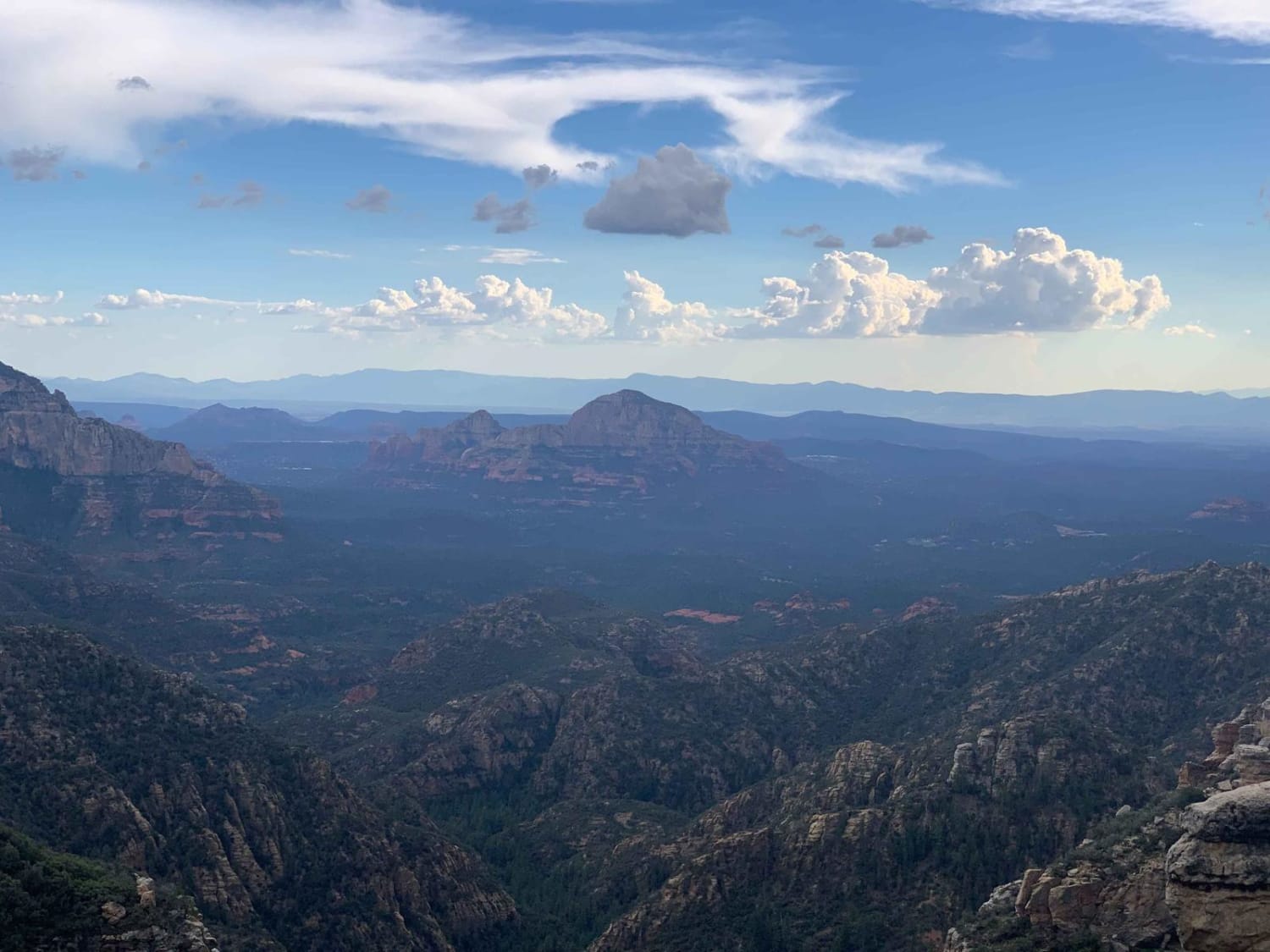
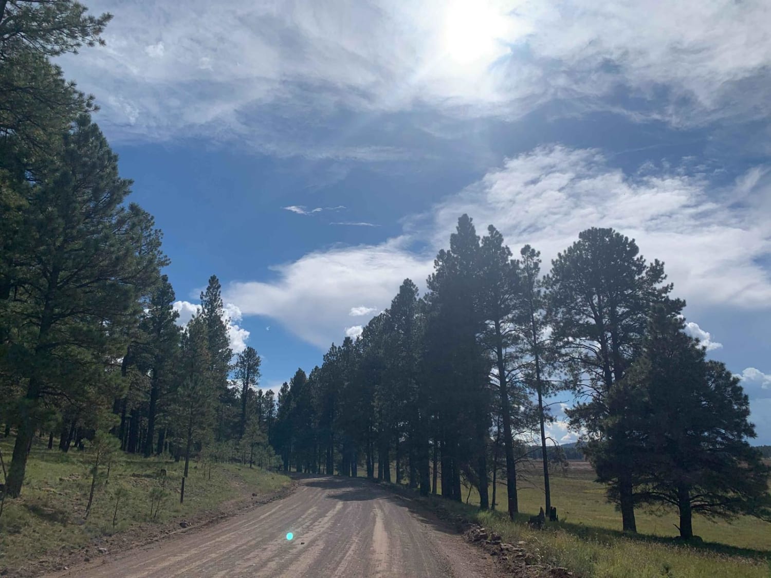
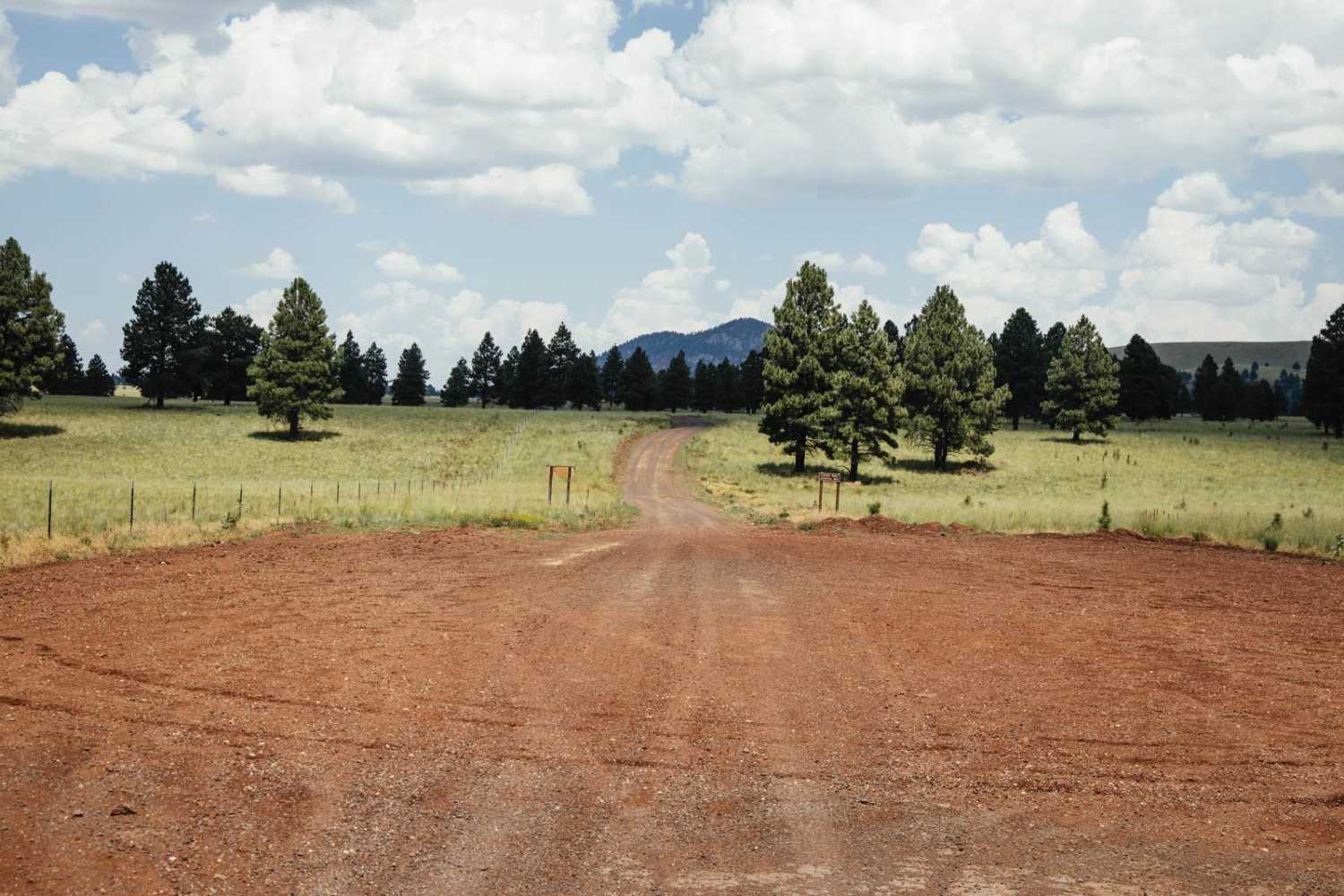
Edge of the World (FS RD 231) is a wonderfully scenic, and easy, a route traversing through AZ State Trust land and Coconino National Forest leaving Flagstaff and heading South toward the East Pocket Lookout. Start your adventure through the Ponderosa pines by passing a couple of parks en route to Rogers Lake, a seasonal lake bed, where one can stop and hike the Two Spot Trail. As you continue South, there are many other forest service roads that can be accessed and dozens of dispersed campsites along the way leading to multiple days of exploring if time permits. The last portion of the trail, heading East toward East Pocket Knob, borders the Red Rock Secret Mountain Wilderness to the South. This area provides a stunning overlook of Sedona and the red rocks in the distance and also provides some of the most scenic dispersed campsites in the area. Plan accordingly as these spots fill up quickly. Driving through State Trust land is permitted, however, if you wish to stop or camp on State Trust land a permit is required. As always, be a steward of our public lands and national forests; observe Tread Lightly! principles and have fun.
Photos of Edge of the World
Difficulty
Mostly easy, graded gravel/dirt road. Many areas with washboard erosion and a few areas with deep ruts, but most can be bypassed by driving around them on this full width road. Most vehicles will have no problem with this trail. Road not maintained after rain or snow.
Status Reports
Edge of the World can be accessed by the following ride types:
- High-Clearance 4x4
- SUV
- SxS (60")
- ATV (50")
- Dirt Bike
Edge of the World Map
Popular Trails
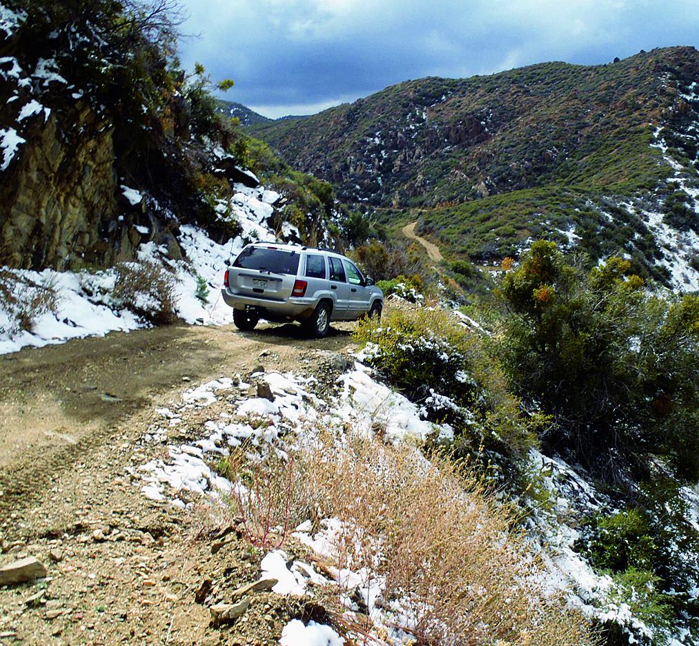
Hualapai Mountains
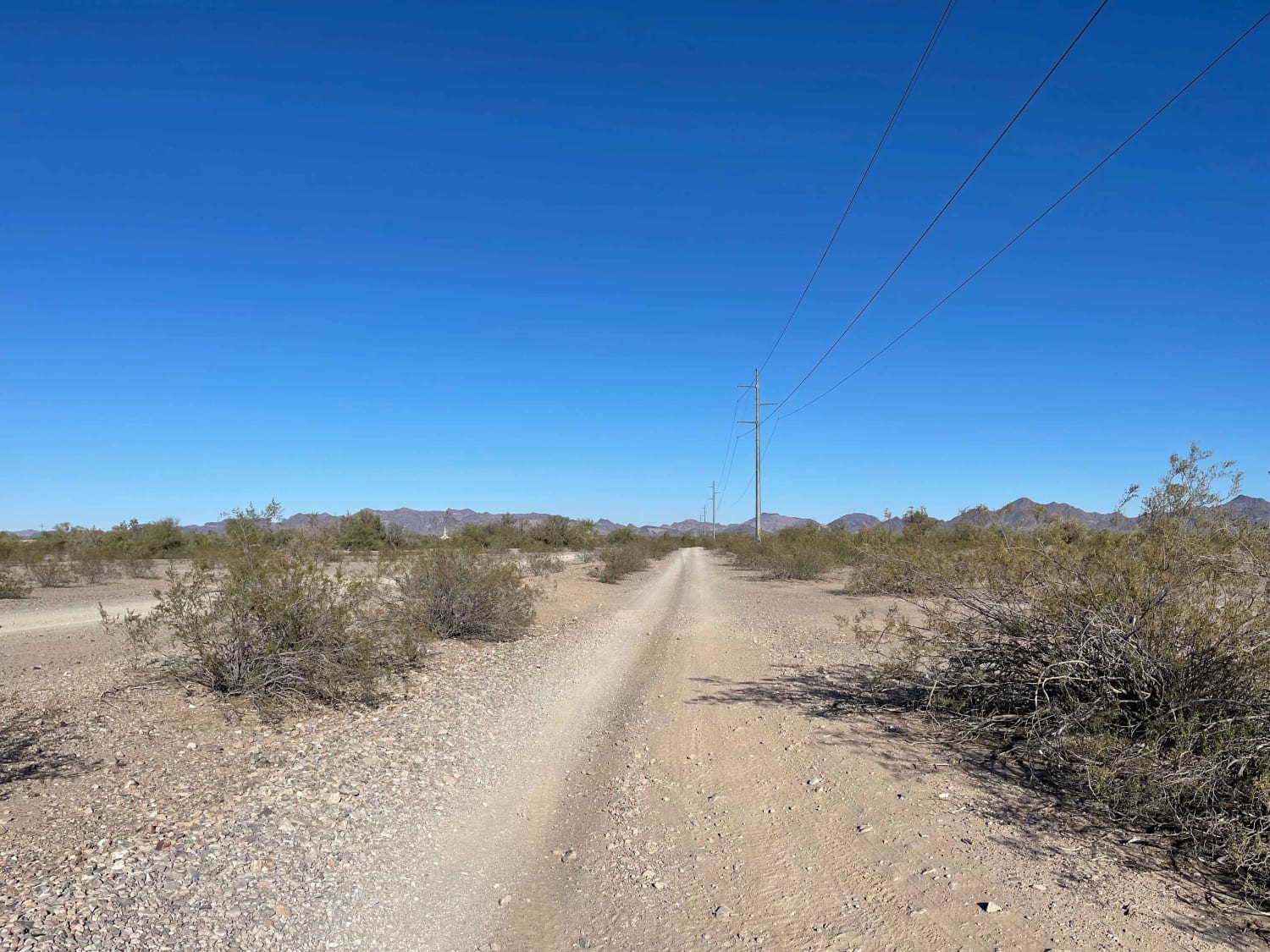
Plomosito Wash Cutover
The onX Offroad Difference
onX Offroad combines trail photos, descriptions, difficulty ratings, width restrictions, seasonality, and more in a user-friendly interface. Available on all devices, with offline access and full compatibility with CarPlay and Android Auto. Discover what you’re missing today!
