Mushroom Trail - 5 to C Shortcut
Total Miles
0.5
Elevation
191.57 ft
Duration
0.2 Hours
Technical Rating
Best Time
Spring, Summer, Fall, Winter
Trail Overview
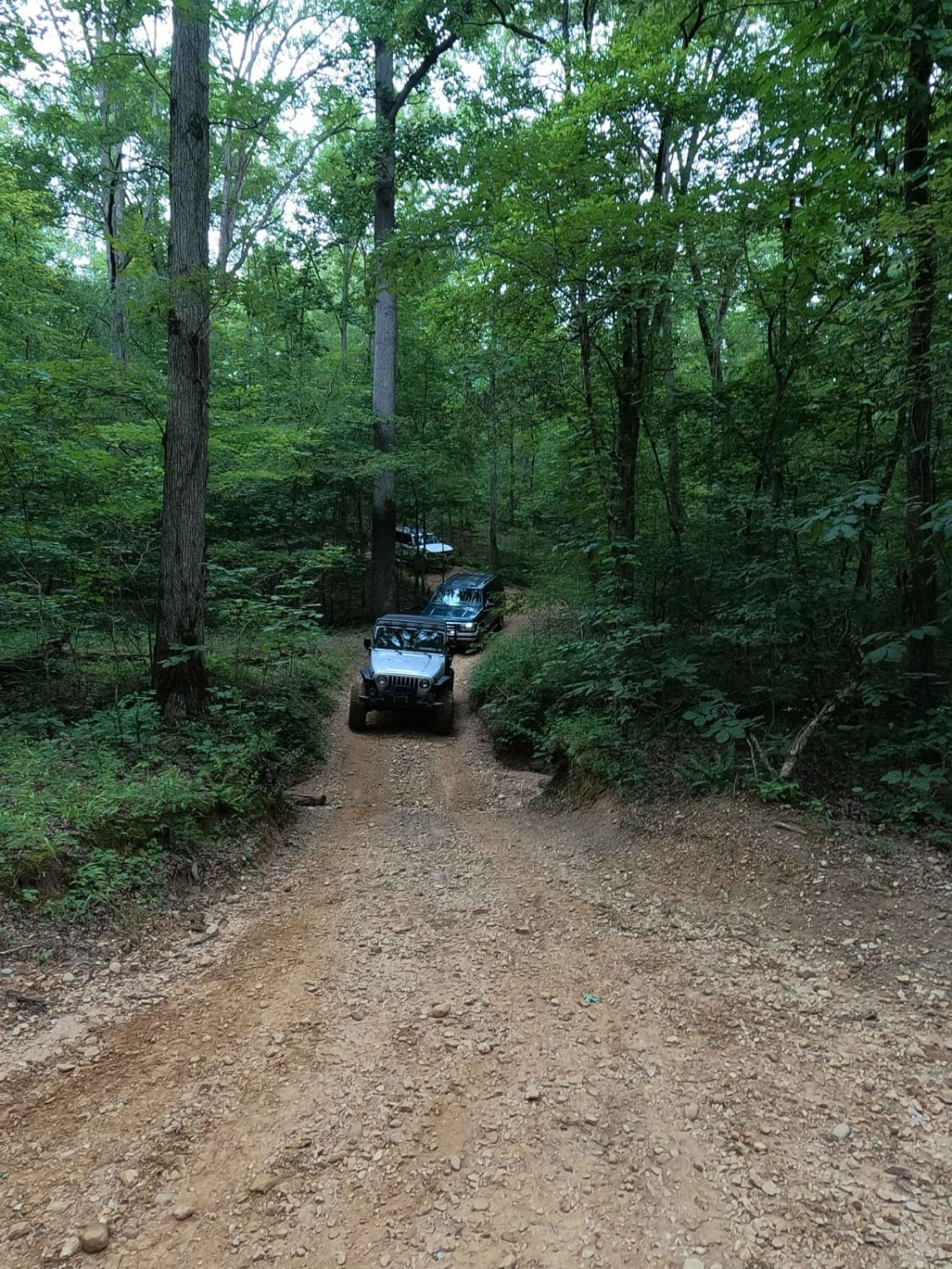
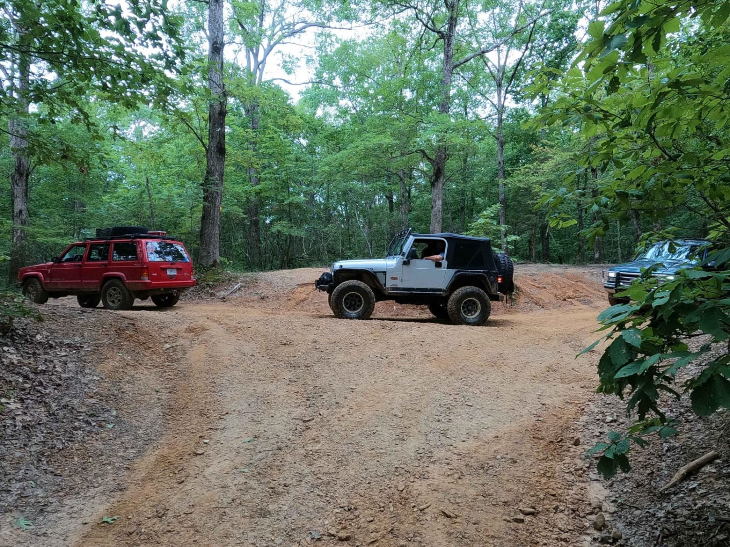
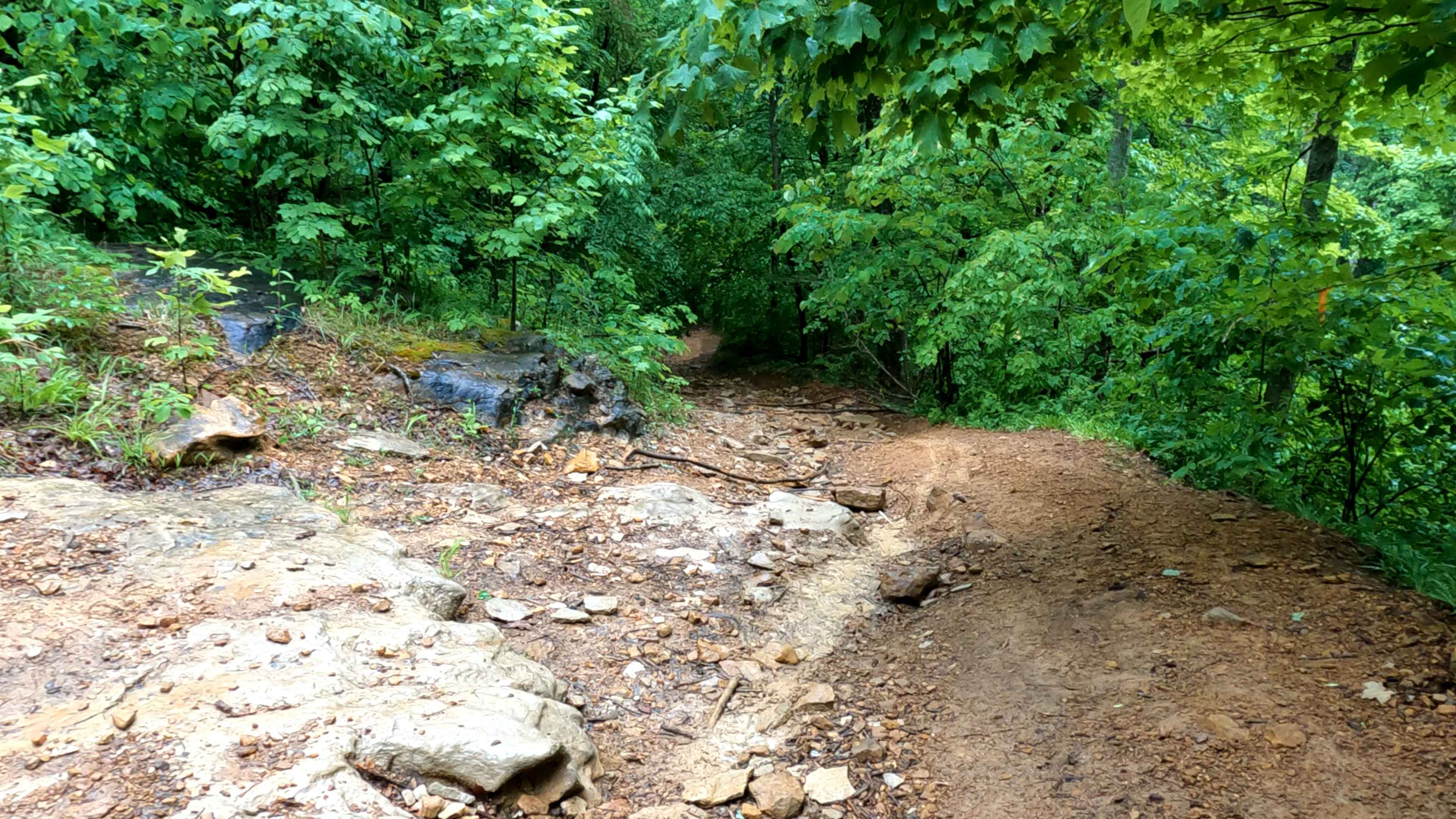
The Mushroom Trail, or 5 to C Shortcut, is a semi-maintained, gravel and dirt primary road, connecting road to road from the 6 to 5 Road to the Rock Garden - 6 to C Road in Turkey Bay OHV, within the Land Between the Lakes National Recreation Area. Its official ID is forestry M07. This is named the shortcut between 5 and the C intersection and Rock Garden, since you can cut to the 6 intersection to access said Rock Garden from the 5 intersection or vice versa. The shortcut features a mostly dirt road climbing moderate hills with mild ruts, scattered smaller golf ball- to softball-sized rocks, occasional water collection spots, and some thin mud when wet. From northeast going southwest, the road features a moderate hilly section, slowly descends into a small feeder creek bottom, and climbs back up. All of this is amongst tightening treelines, then small rolling hills with neighboring swampy ponds on the southern end. Due to the nature of this area, you will see several mushrooms. This primary road is the only exception to the rule that every primary road leads from intersection to intersection in the park. The northeastern end of the road meets in the middle of the 6 to C Road at 36.77385, -88.07686. It is 275 yards south of the C intersection. The southwestern end of the road meets in the middle of the 6 to 5 Road at 36.77054, -88.08017. It is 220 yards east of the 5 intersection.
Photos of Mushroom Trail - 5 to C Shortcut
Difficulty
The 5 to C Shortcut is generally maintained dirt road, though its hills have moderate grades that tend to degrade with rain and use, exposing other natural objects and thus creating subtle changes to the road. Coming from the 6 to C Road to the 6 to 5 Road, the northern section is rocky and has natural rock laying all over the road, with tightening treelines. The road quickly descends over moderate grades to climb right back up after touching the small feeder creek in the bottoms. When wet, this hilly area could become gnarly wet slopes of thin top layer mud, causing skidding and sliding. Be mindful not to hit a sharp rock on the sidelines and be careful not to carry too much momentum downhill. However, momentum would be useful when going uphill. Closer to the southwestern endpoint where it meets the 6 to 5 Road, there could be potential water collection or smaller mud holes in the smaller rolling hills that exist in this area. This road is given a base rating of 3/10, for an average of all the terrain and conditions considered. The difficulty will increase in wet conditions and seasons of heavy rain.
Status Reports
Popular Trails
Pisgah Point Spur - FS 111A

Silver Creek - Playground Area
Trail 15 Hollerwood Park
Happy Top
The onX Offroad Difference
onX Offroad combines trail photos, descriptions, difficulty ratings, width restrictions, seasonality, and more in a user-friendly interface. Available on all devices, with offline access and full compatibility with CarPlay and Android Auto. Discover what you’re missing today!
