Jacobs Well to Brumley Well (County 101)
Total Miles
6.0
Technical Rating
Best Time
Spring, Summer, Fall
Trail Type
Full-Width Road
Accessible By
Trail Overview
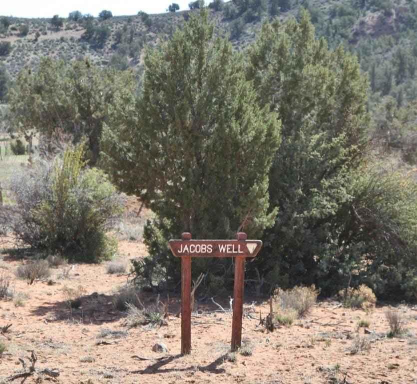
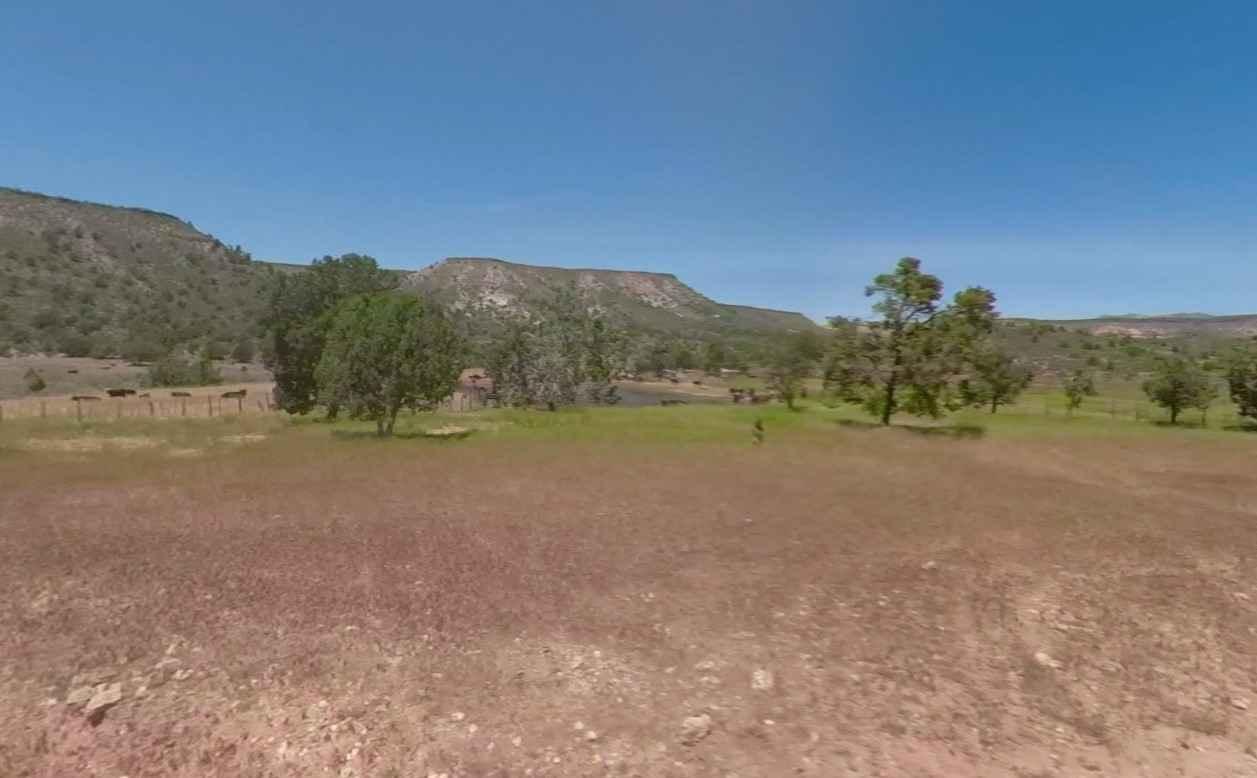
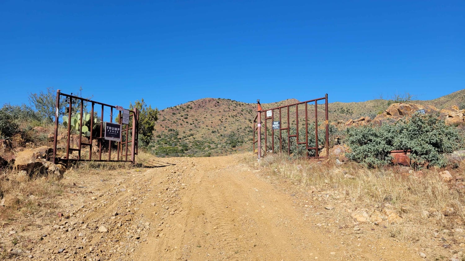
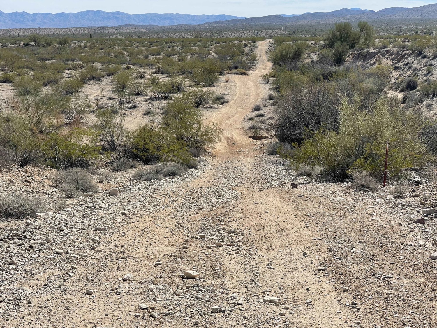
Jacobs Well to Brumley Well (County 101) is a 6.0-mile point-to-point trail rated 2 of 10 located in Mohave County, Arizona. The trail is a major access route within the Grand Canyon- Parashant National Monument. Jacobs Well is still an active working cattle ranch that has grazing rights on the surrounding BLM land. Visible here are the catch pond as well as coral and remains of a windmill. The trail from Jacobs Well south on County 101 is an easy single track that can be driven by any high clearance 2 or 4WD vehicles. The trail runs alongside Cottonwood Wash which crosses the trail several times. Brumley Well is located on the southern end of the trail. Look for an old tower and piping right along the side of the road. The Grand Canyon- Parashant National Monument is one of the most remote areas in the country. Cell phone service is intermittent and the nearest services are located in Mesquite.
Photos of Jacobs Well to Brumley Well (County 101)
Difficulty
This is a county dirt road with infrequent or light maintenance after rain or snow, high clearance light duty 4WD may be required.
Status Reports

Popular Trails
Rear Hitter #8219
Upland BLM Inlet | Vekol Wash Access
Walnut Spring Trail
Fun Fence Line Rip
The onX Offroad Difference
onX Offroad combines trail photos, descriptions, difficulty ratings, width restrictions, seasonality, and more in a user-friendly interface. Available on all devices, with offline access and full compatibility with CarPlay and Android Auto. Discover what you’re missing today!