West Vistancia Loop
Total Miles
11.5
Elevation
619.64 ft
Duration
--
Technical Rating
Best Time
Spring, Fall, Winter
Trail Overview
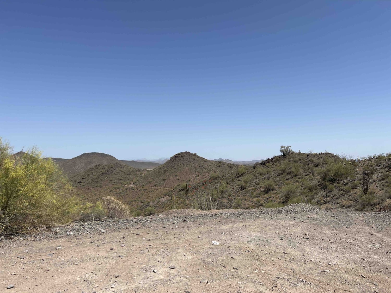
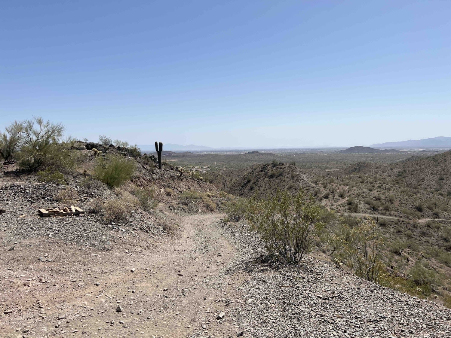
Great trail north and west of the Vistancia Area in Peoria, AZ. The trail weaves in and out of washes through Saguaro Cactus and desert brush. Significant elevation changes occur as you drive on the mountains or into low areas of the desert. There is a great lookout spot on the trail for pictures where you can get great views of downtown Phoenix to the South East, Lake Pleasant to the North East, and the Phoenix Canal to the West.
Photos of West Vistancia Loop
Difficulty
Easy trail for the most part, but there are places where higher clearance and four wheel drive may be needed. Dependent on the route you take there will be steep uphill/downhill sections of the trail.
Status Reports
Popular Trails
WWII Woman's Flight Marker Spur Trail for AZPT

89A House Rock North

Bull Pen Road
Heart Prairie
The onX Offroad Difference
onX Offroad combines trail photos, descriptions, difficulty ratings, width restrictions, seasonality, and more in a user-friendly interface. Available on all devices, with offline access and full compatibility with CarPlay and Android Auto. Discover what you’re missing today!
