Tacoma Creek
Total Miles
35.3
Elevation
2,087.14 ft
Duration
7 Hours
Technical Rating
Best Time
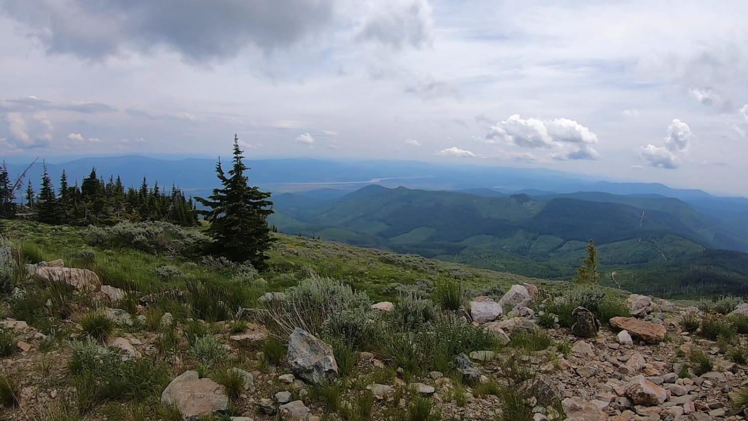
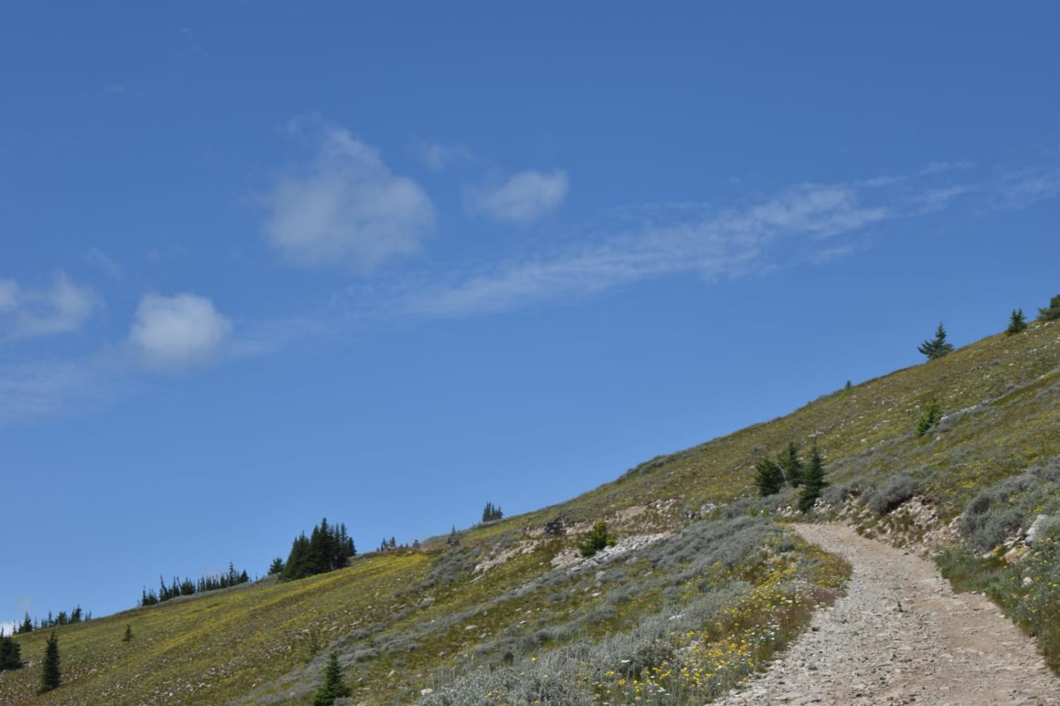
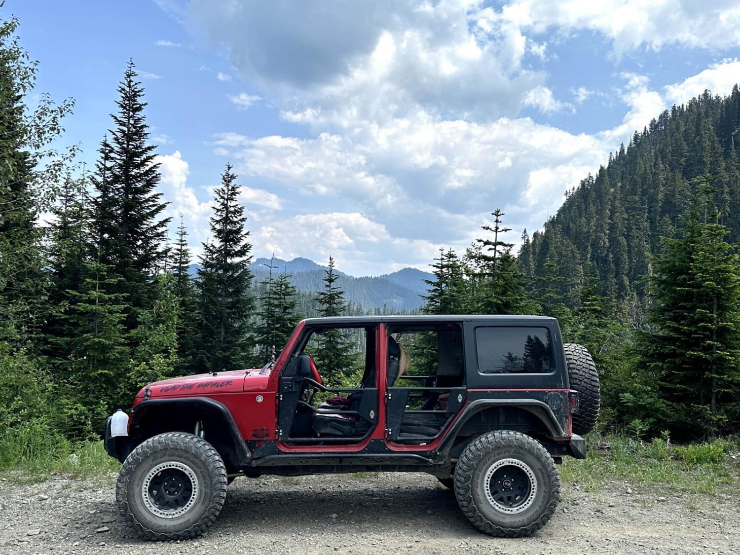
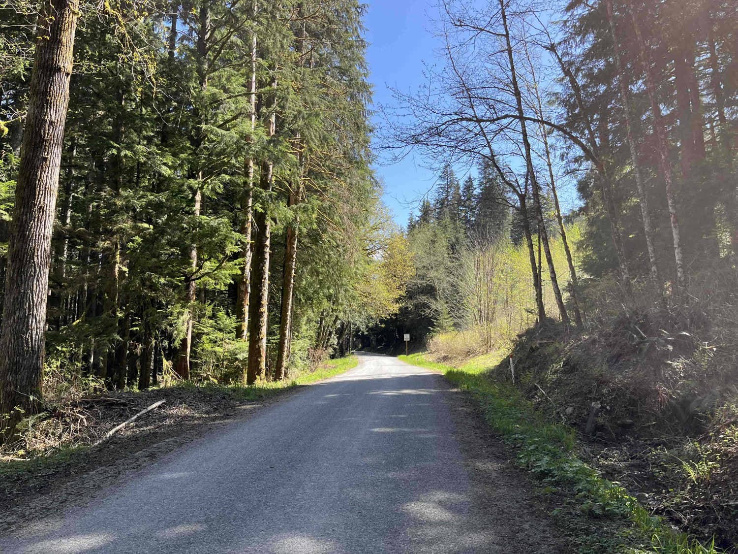
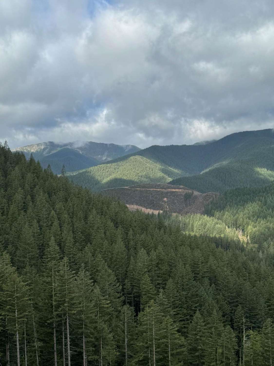
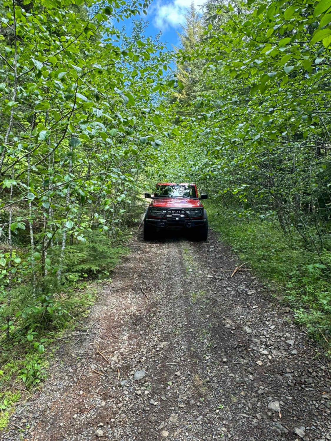
Trail Overview
This route features a loop route which takes you to Calispell Peak. It is all gravel road, with the final 2 mile road to Calispell Peak being rough and rocky, with a couple of steep pitches to negotiate. The road may be very dusty depending upon weather. The route is designed for the campers along the Tacoma Creek region in mind. There are different routes that can be taken, but this one is specifically designed to go to Calispell Peak, then reutrn via a north western route back to the main camping region. Photos of Calispell Peak are available in the Calispell Peak route.
Photos of Tacoma Creek
Status Reports
Popular Trails
Canyon Ridge Road
Lake Cavanaugh Road
Rock Creek Run
Gumboot Mountain Trail
The onX Offroad Difference
onX Offroad combines trail photos, descriptions, difficulty ratings, width restrictions, seasonality, and more in a user-friendly interface. Available on all devices, with offline access and full compatibility with CarPlay and Android Auto. Discover what you’re missing today!