Kathy's Bridge Road
Total Miles
1.4
Elevation
263.54 ft
Duration
0.5 Hours
Technical Rating
Best Time
Spring, Summer, Fall, Winter
Trail Overview
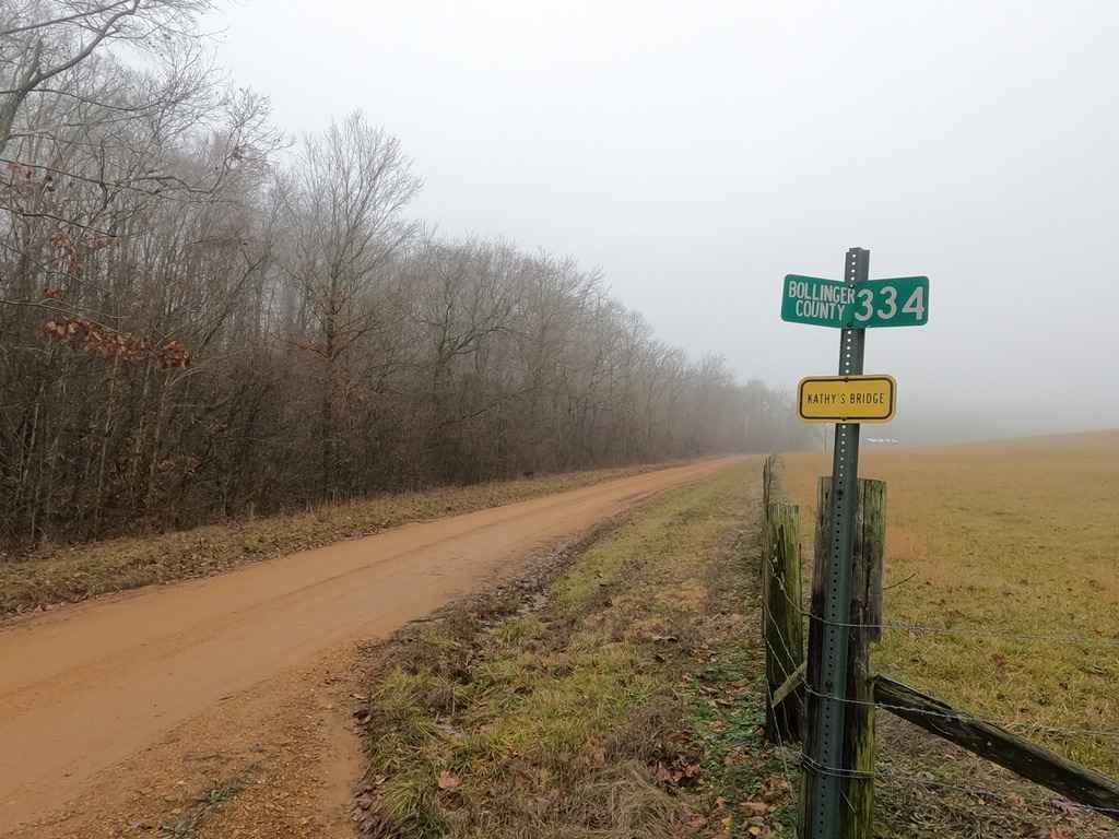
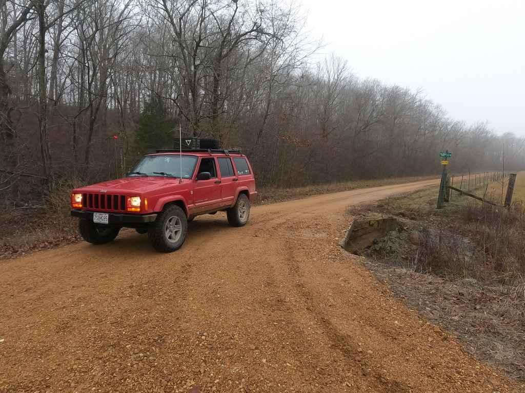
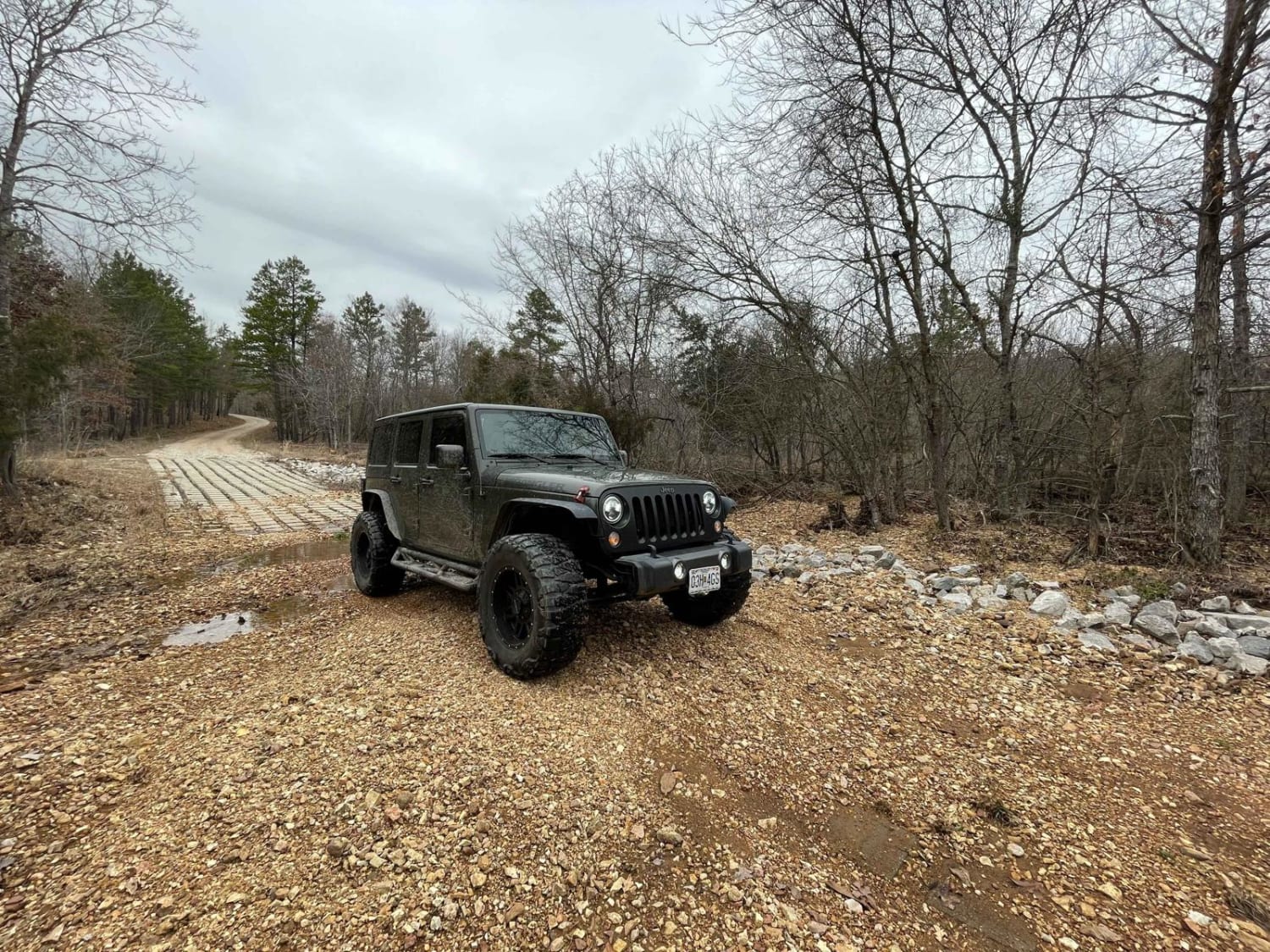
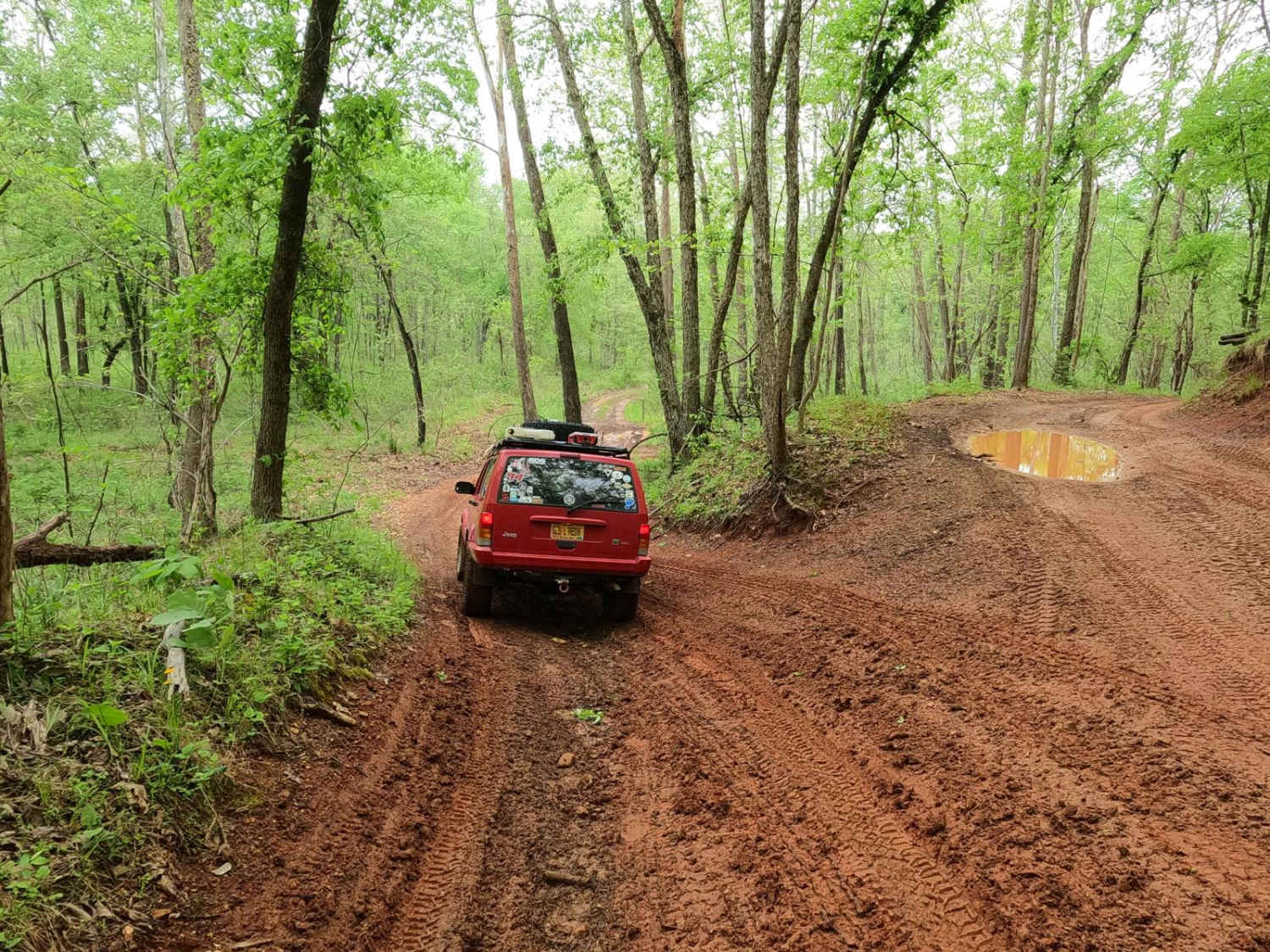
Kathy's Bridge Road, also known as Bollinger County Road 334, is a branch off the Bo-Co Road 342 and continues following the last stretch of James Creek while heading Southwest off the 342 to connect with Missouri Route-M. The road's base is course gravel in true Bollinger county fashion leading through its track and features heavy potholes and washboarding. The first half of the road lays in the valley bottoms surrounded by farmland and has three low water bridges, one being a potential crossing, followed by a few scattered out water collection spots in the larger potholes, this is followed by a mild steep uphill climb snaking your way up to where the road meets Missouri-M. Great back road adventuring with country living and sights to be seen.
Photos of Kathy's Bridge Road
Difficulty
A rather simple back road featuring one minor creek crossing, and a mild grade hill, only given a 2/10 rating for the potential higher water depth at the bridge in the rain and for the grade going uphill but is mostly a 1/10.
Status Reports
Popular Trails
Gulf - FS 3821
Flatwoods School (FS3119)
Well Hollow
The onX Offroad Difference
onX Offroad combines trail photos, descriptions, difficulty ratings, width restrictions, seasonality, and more in a user-friendly interface. Available on all devices, with offline access and full compatibility with CarPlay and Android Auto. Discover what you’re missing today!
