Teepee Point Vehicle Access
Total Miles
4.7
Elevation
1,825.32 ft
Duration
0.5 Hours
Technical Rating
Best Time
Fall, Summer, Spring
Trail Overview
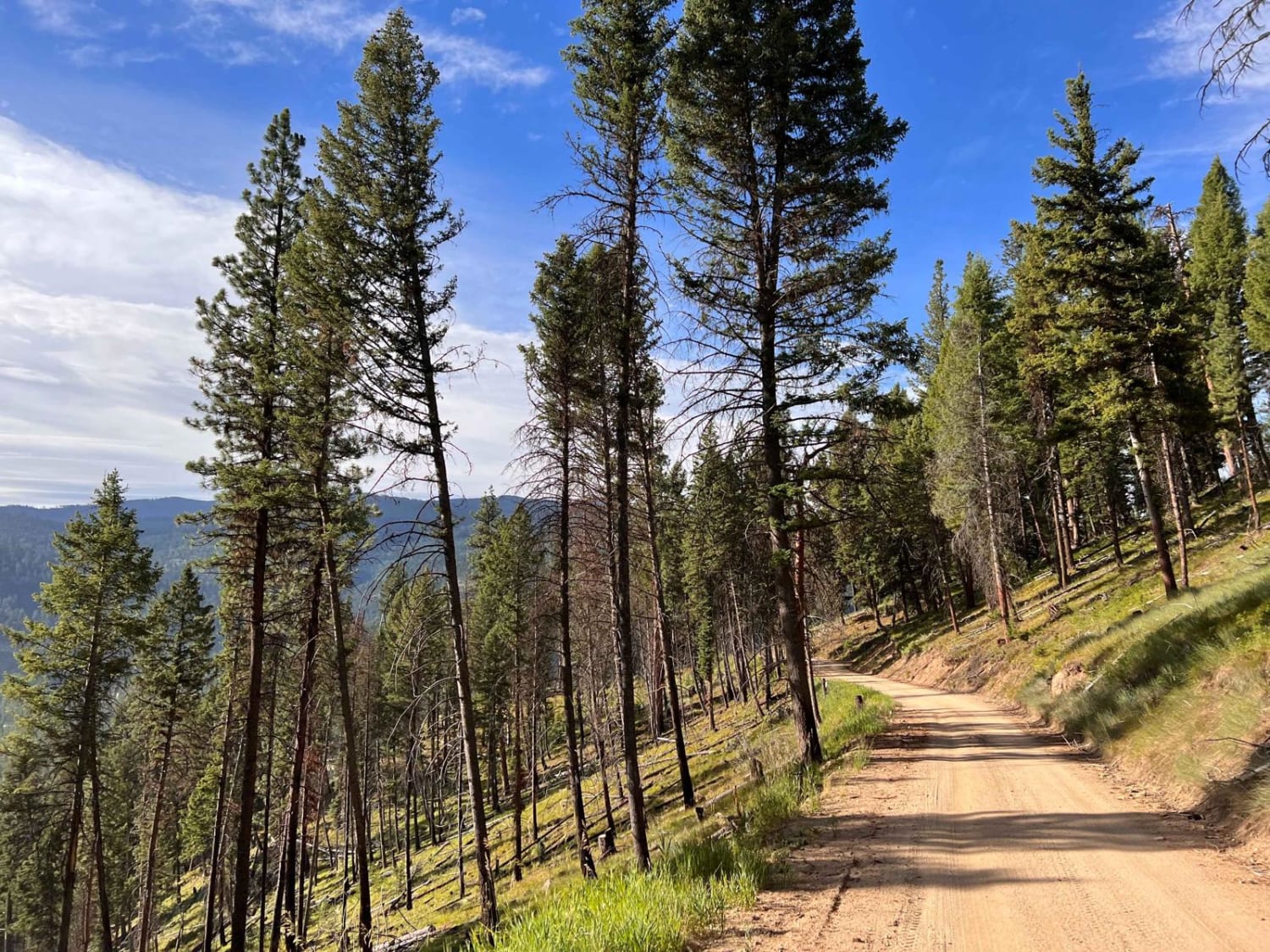
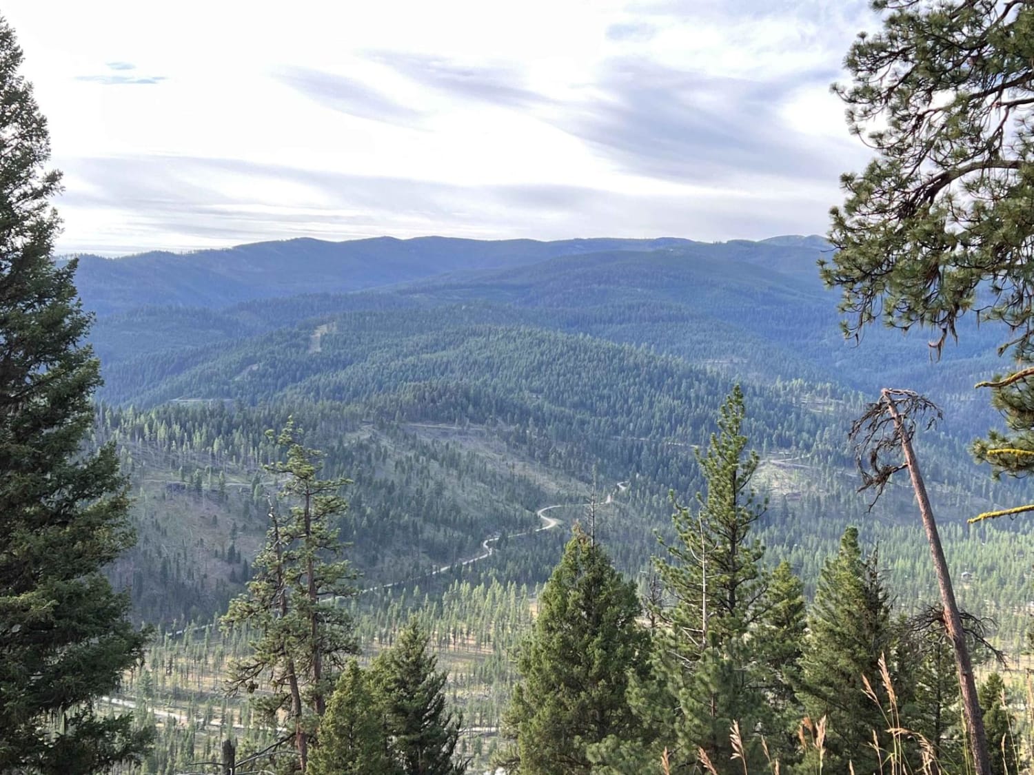
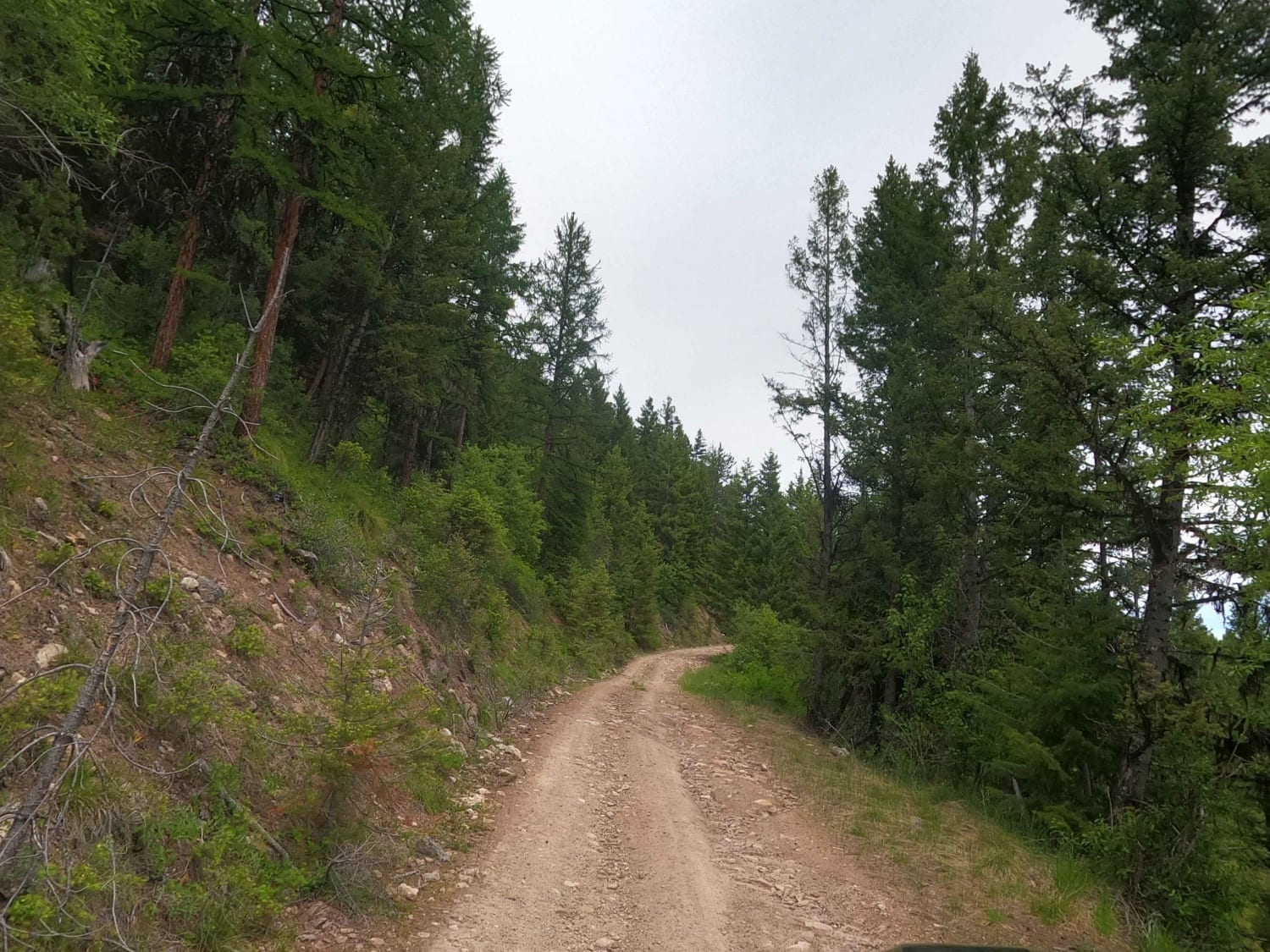
This is a nice, well-maintained dirt trail. It is by no means super narrow, however, it is mostly one vehicle wide most of the way with pullouts. It is a cliffside trail and has some pretty decent drop-offs. This trail is not recommended for those who are afraid of heights. The trail appears to be seasonally graded and in good condition. This trail leads up to Teepee Point Lookout Tower, but another trail continues and runs to Skalkaho Highway if one were to take it all the way. That is a total of 15 miles. It's only 5 to get to the access point for the lookout tower. There are vehicle restrictions to make it to the tower, so you can only drive a car up to the parking point at the end of this trail. From there, it's another two miles up to the tower; however, if you were on an ATV motorcycle or small UTV, you can continue and drive the 2 miles to the tower. There are no obvious dispersed campsites for camping in your vehicle. However, there are a couple of spots if you are tent camping; they are located on a few of the curves in the trail but have a pullout area to park a vehicle and walk out to a beautiful view where you can put your tent. There's no winter maintenance, and if traveling in spring, be prepared to clear deadfall. There is no cellular service on this trail.
Photos of Teepee Point Vehicle Access
Difficulty
It appears to be seasonally graded but is narrow with steep drop-offs and mostly one vehicle wide.
Status Reports
Popular Trails
Skyline Mine Spur
Kennedy Ridge 5507
Corral Creek Rd 2146
The onX Offroad Difference
onX Offroad combines trail photos, descriptions, difficulty ratings, width restrictions, seasonality, and more in a user-friendly interface. Available on all devices, with offline access and full compatibility with CarPlay and Android Auto. Discover what you’re missing today!
