Bear Valley to Lowman
Total Miles
22.9
Technical Rating
Best Time
Spring, Summer, Fall
Trail Type
Full-Width Road
Accessible By
Trail Overview
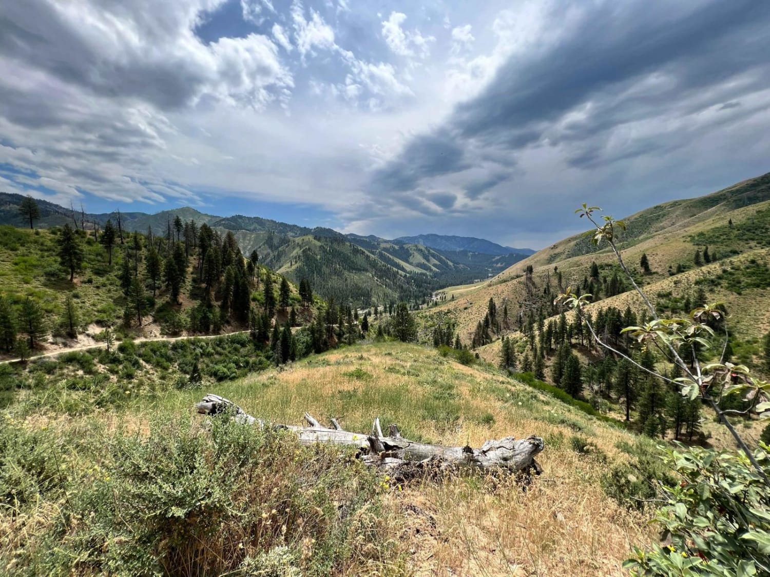
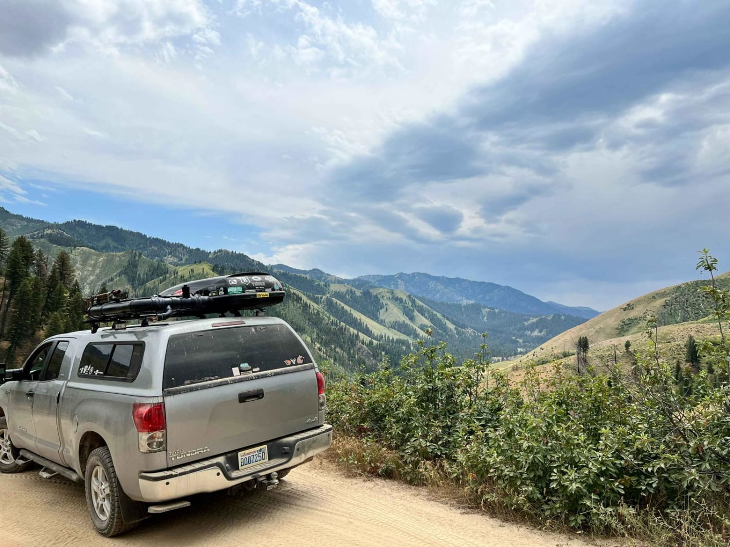
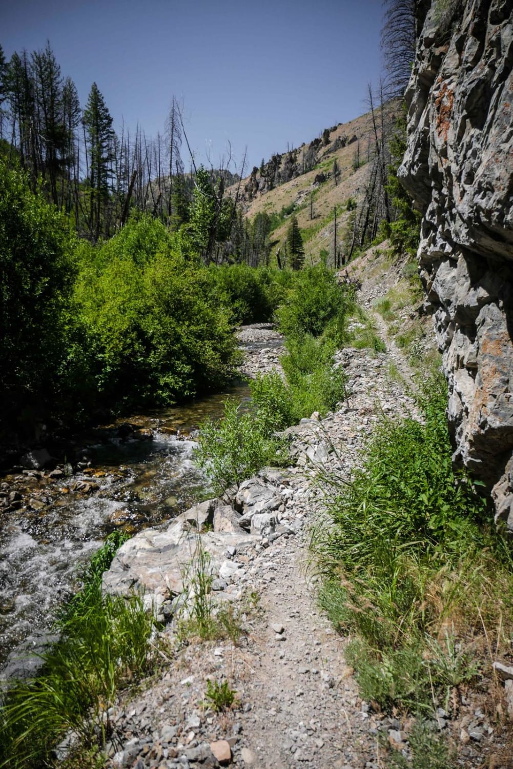
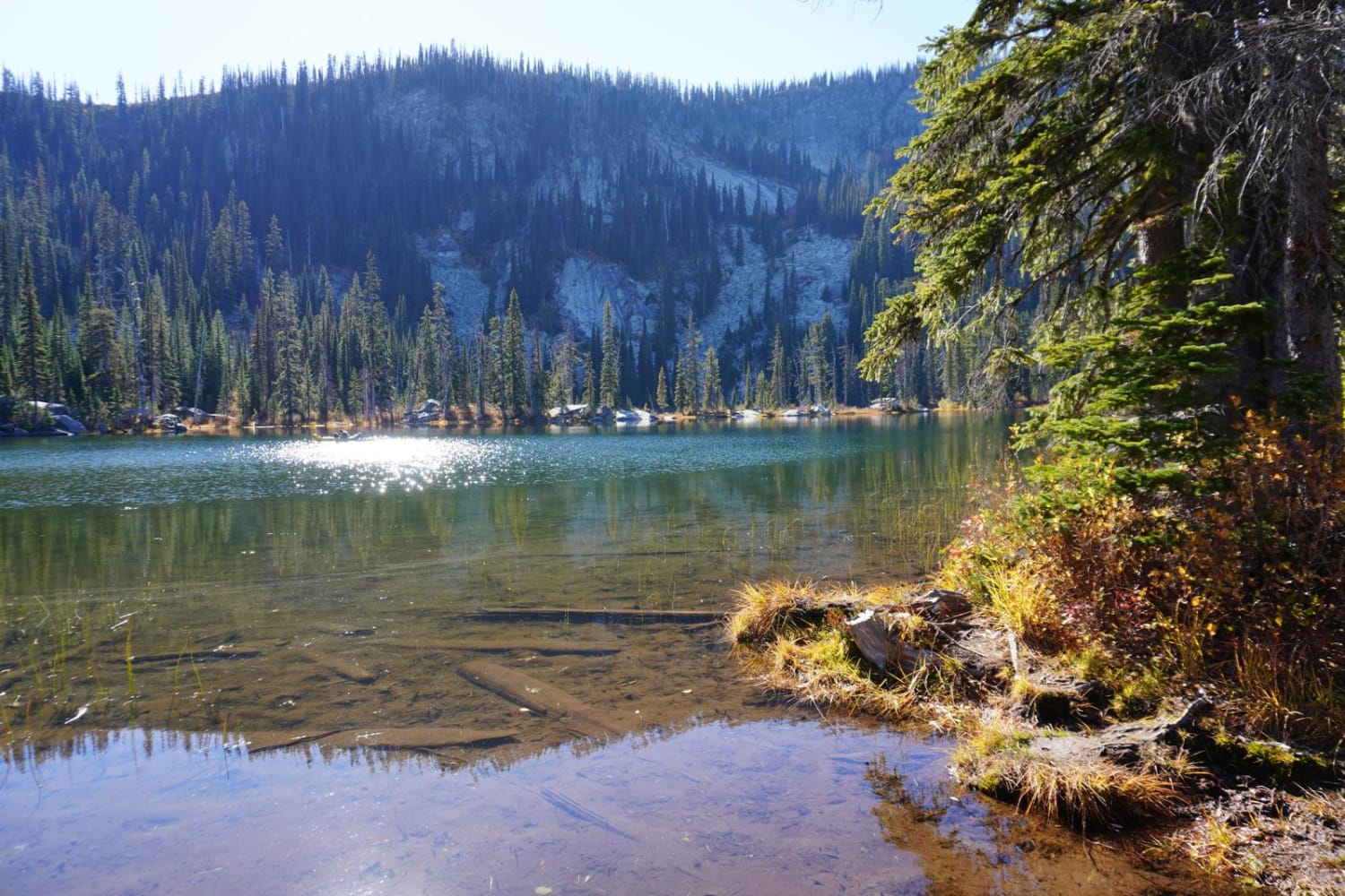
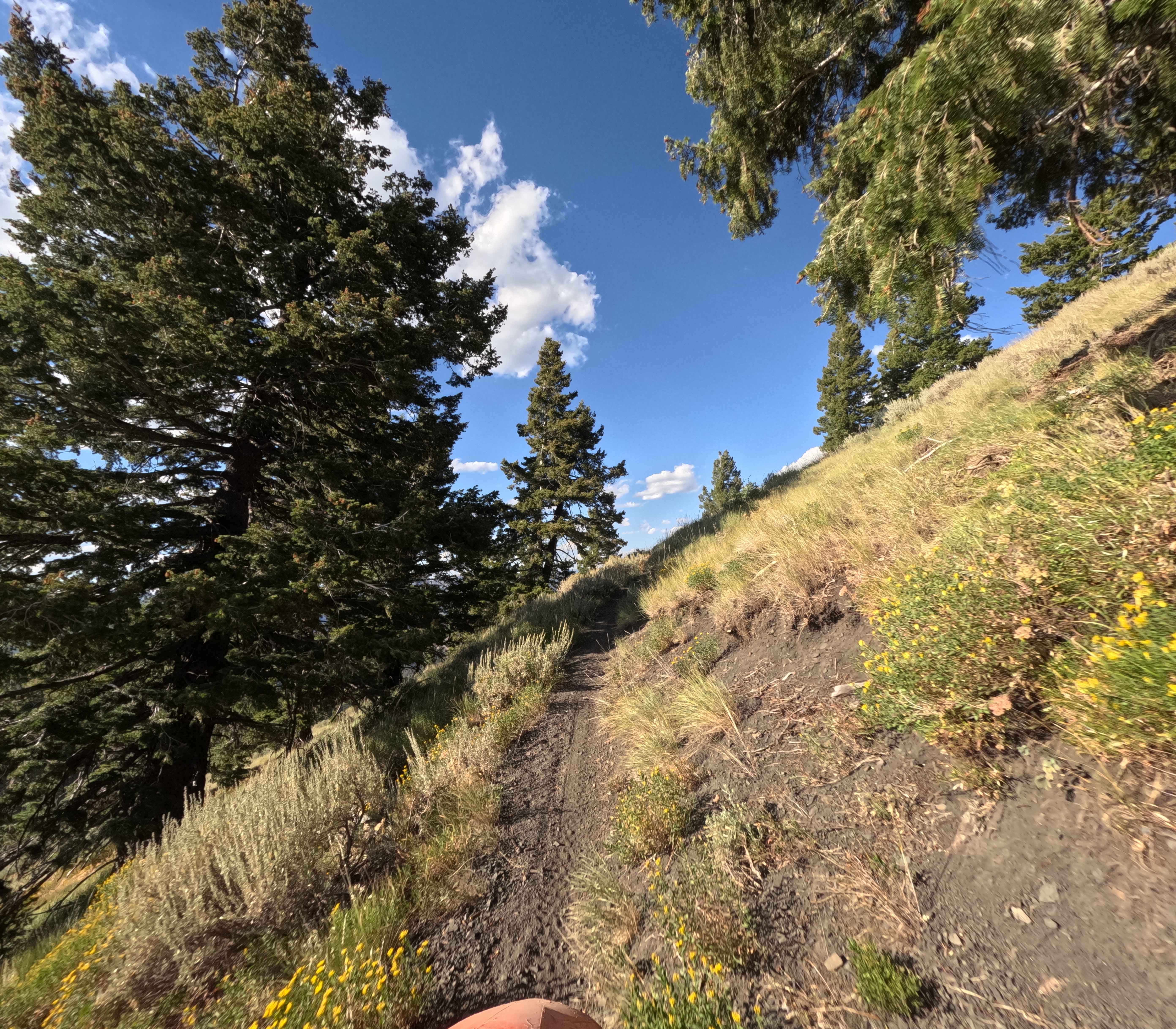
Starting at over 7,000' and dropping to an altitude of 3,800', this 23-mile dirt road connects the Bear Valley to Lowman from the north. Overall, this route is easy to travel with washboard roads and many twists and turns. It passes through a phenomenally beautiful country where you are likely to see a number of deer, elk, moose, and many smaller critters. There is also a number of excellent fishing opportunities along the way. This trail is easily passable with any stock SUV as long as it's not snow-covered. Additionally, there are numerous side routes to explore the Boise National Forest, and camping options are plentiful.
Photos of Bear Valley to Lowman
Difficulty
A few areas are very steep and narrow. There are sections that are only one vehicle (full-size) wide so in the event of an oncoming vehicle, be prepared to either back up to the nearest available pull-off or wait for them to do so. Traveling the northern sections of this route on snow days would not be recommended.
Status Reports
Bear Valley to Lowman can be accessed by the following ride types:
- High-Clearance 4x4
- SUV
- SxS (60")
- ATV (50")
- Dirt Bike
Bear Valley to Lowman Map
Popular Trails

Cape Horn Mountain
Middle Fork-South Fork 2 - FS 7199
The onX Offroad Difference
onX Offroad combines trail photos, descriptions, difficulty ratings, width restrictions, seasonality, and more in a user-friendly interface. Available on all devices, with offline access and full compatibility with CarPlay and Android Auto. Discover what you’re missing today!
