Sovereign
Total Miles
2.3
Elevation
1,479.66 ft
Duration
0.5 Hours
Technical Rating
Best Time
Spring, Winter, Fall
Trail Overview
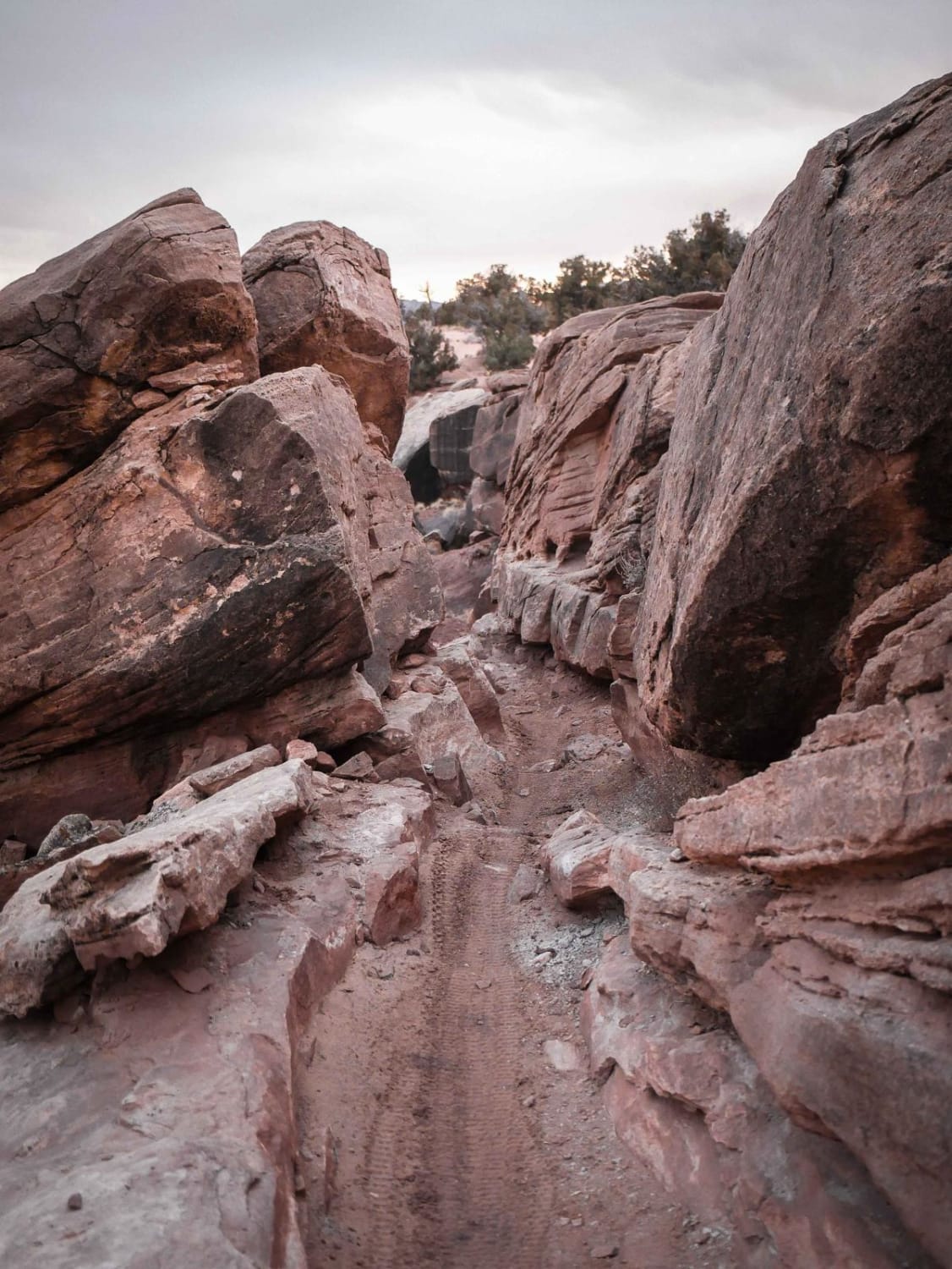
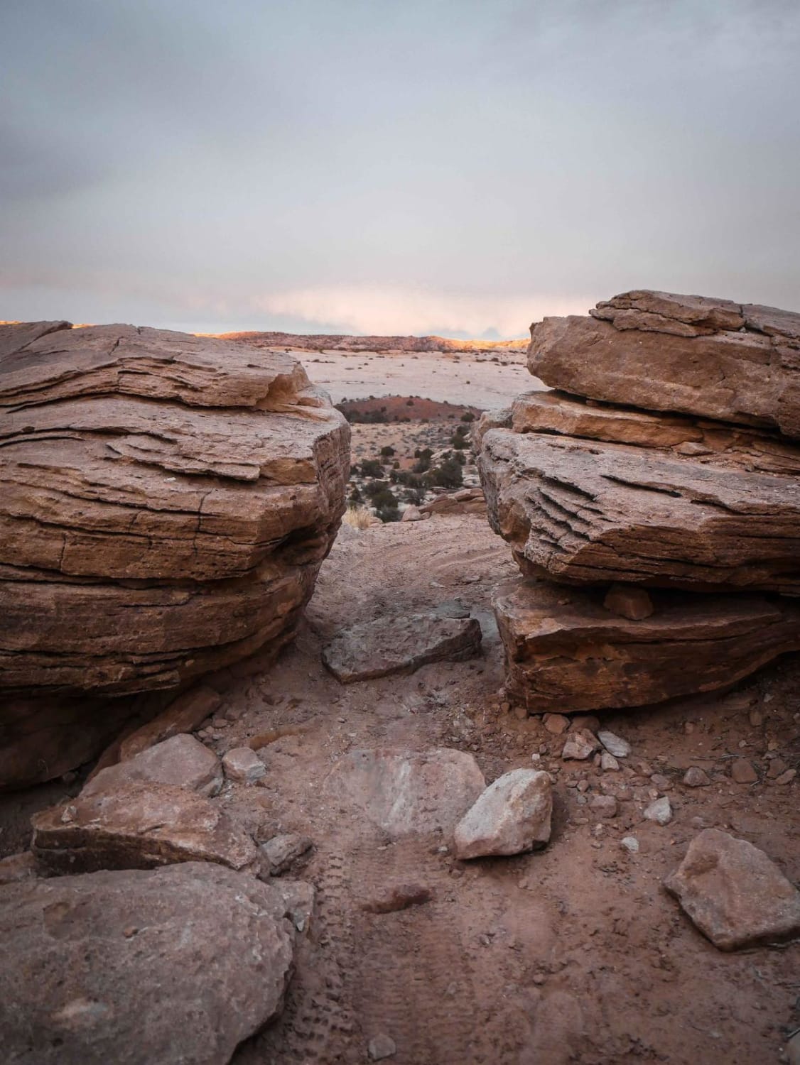
This segment of the Sovereign Single Track is full of fun desert features and challenges. On the north end, it leaves from the intersection with Motherload and starts by squeezing through several rock pinches on top of the mesa between giant rock slabs. This is tricky because it's a tight turn through the rock pinch with a bit of exposure, followed by a very tight hairpin to drop off the mesa. This section has difficult rock ledges that would be even more difficult if wet or muddy. After dropping off the mesa and crossing a dirt road, the trail turns into a long sustained section of flat slab rock, where you have to follow the signposts on the slab. Watch out for big dips in between the slab into the sand. It turns back into a windy dirt trail between the bushes and boulders atop these desert mesas, dipping in and out of washes. It crosses the Copper Ridge Route Jeep road and continues southeast. The next section climbs back up the mesas, side-hilling across the dirt hills right on the rim, with lots of loose rocks and embedded rocks. It has some exposure as you go right next to big boulders on the edge that you have to squeeze past, and some moderate rock ledges. The trail comes to an intersection with the Salt Wash Trail and Junction 6 of Sovereign. You can go north to drop down a one-way advanced section of the Salt Wash Trail or continue southeast on this trail past Junction 6. The southernmost segment of this trail rides atop the mesa, on a mix of dirt and embedded slab next to pinyon bushes, with long stretches of slab slickrock and small drop-offs/stair steps.
Photos of Sovereign
Difficulty
Overall this trail is a more difficult intermediate trail because it has frequent features that can be difficult for the less advanced rider, but also has some easier sections in between.
Status Reports
Popular Trails

Prospector OHV Backway Complex

Polly Springs

BLM D0148 - Ruin Canyon

Monroe Mtn Road to Upper Box Creek Reservoir (FS# 40068)
The onX Offroad Difference
onX Offroad combines trail photos, descriptions, difficulty ratings, width restrictions, seasonality, and more in a user-friendly interface. Available on all devices, with offline access and full compatibility with CarPlay and Android Auto. Discover what you’re missing today!

