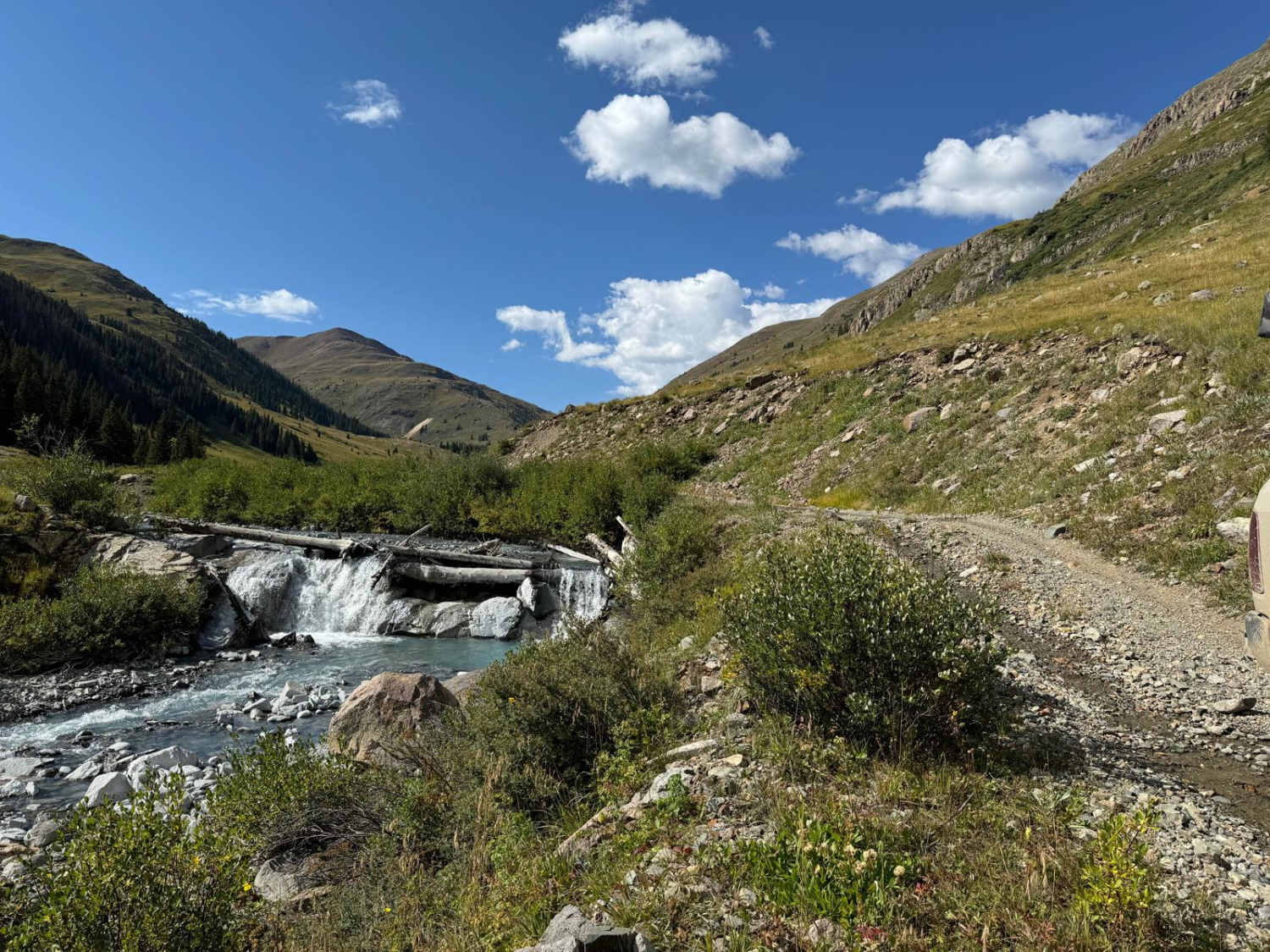
County Road 2 Connector - Silverton to Animas Forks and Engineer Pass
Distance
13.5 mi
Technical Rating
Moderate
Best Time
Spring, Summer, Fall
Trail Type
Full-Width Road
Accessible By
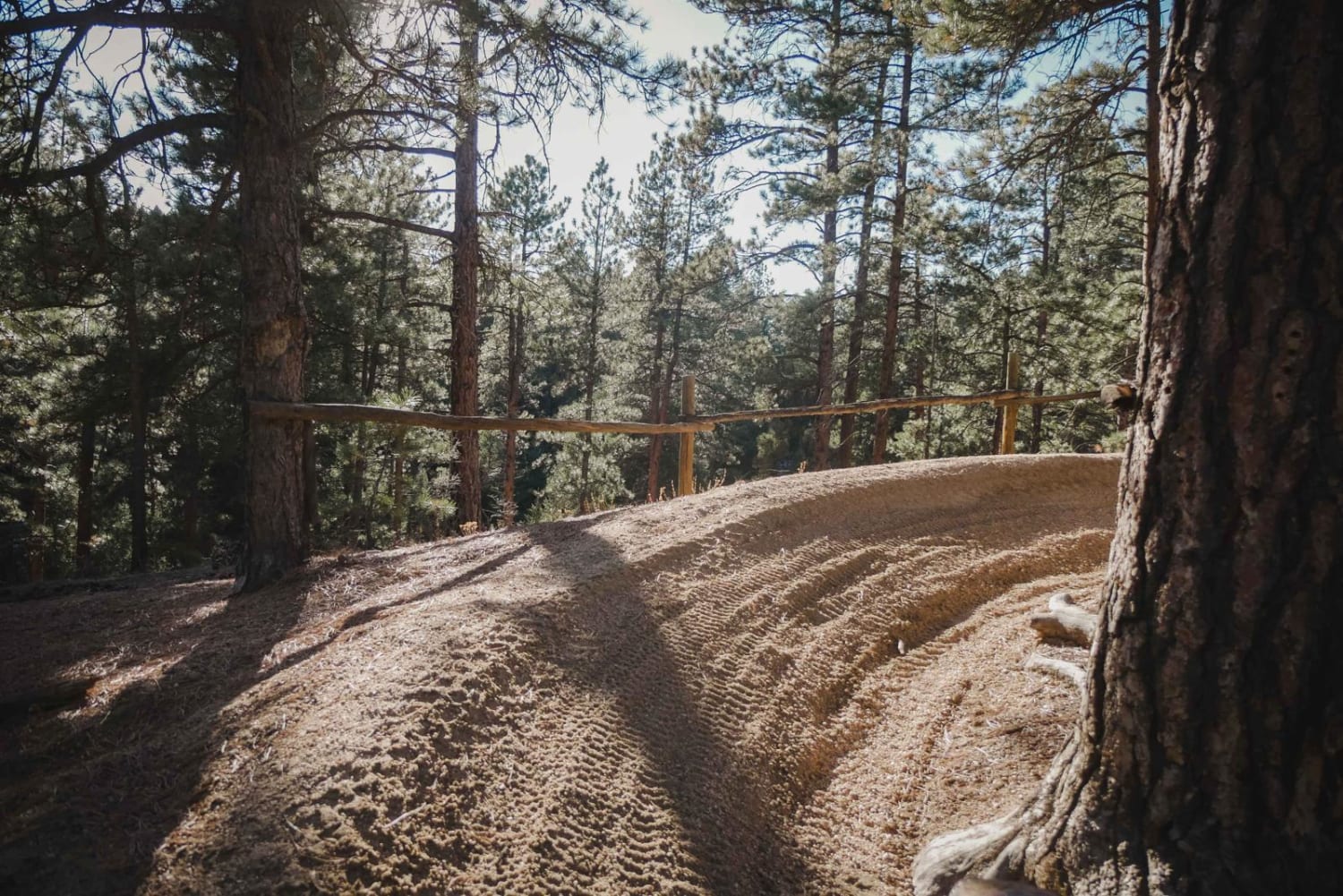
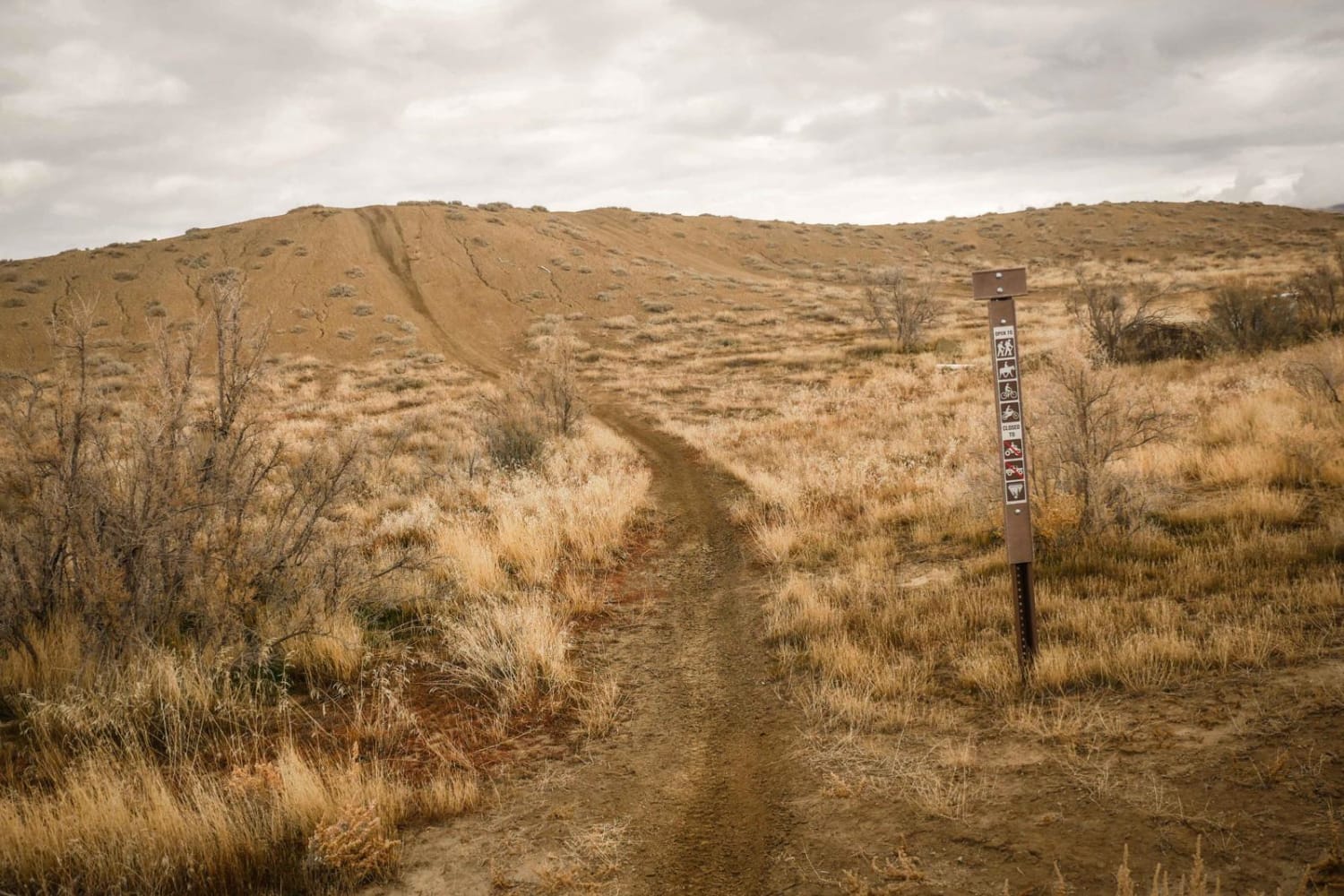
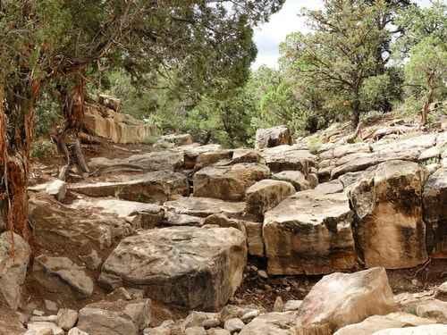
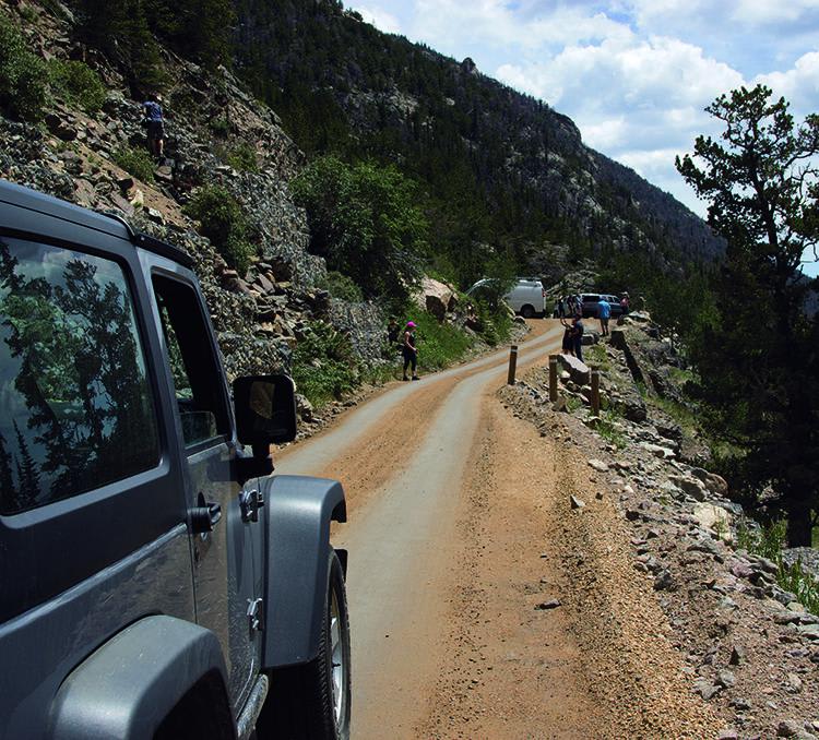
Trail Overview
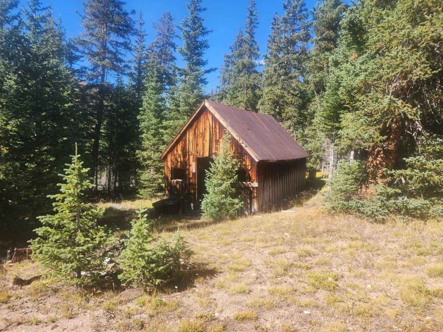
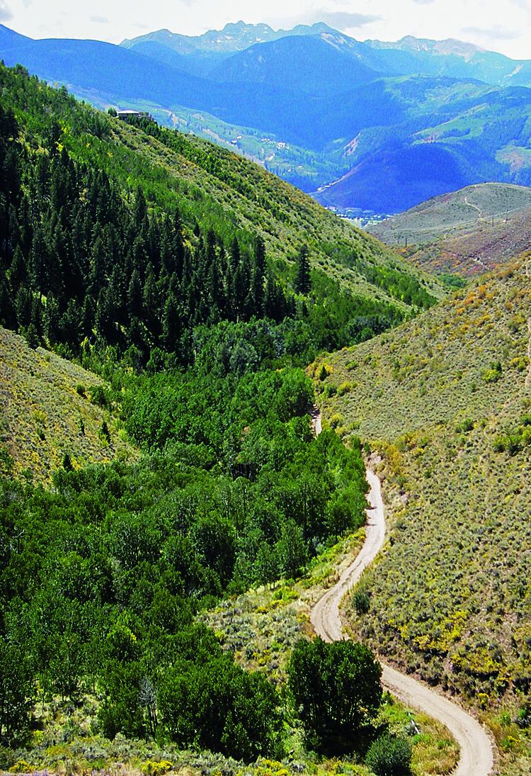
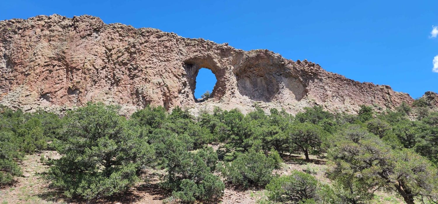
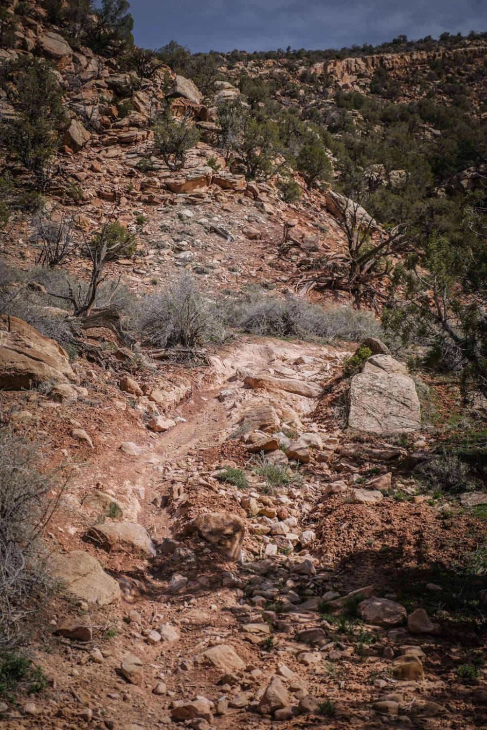
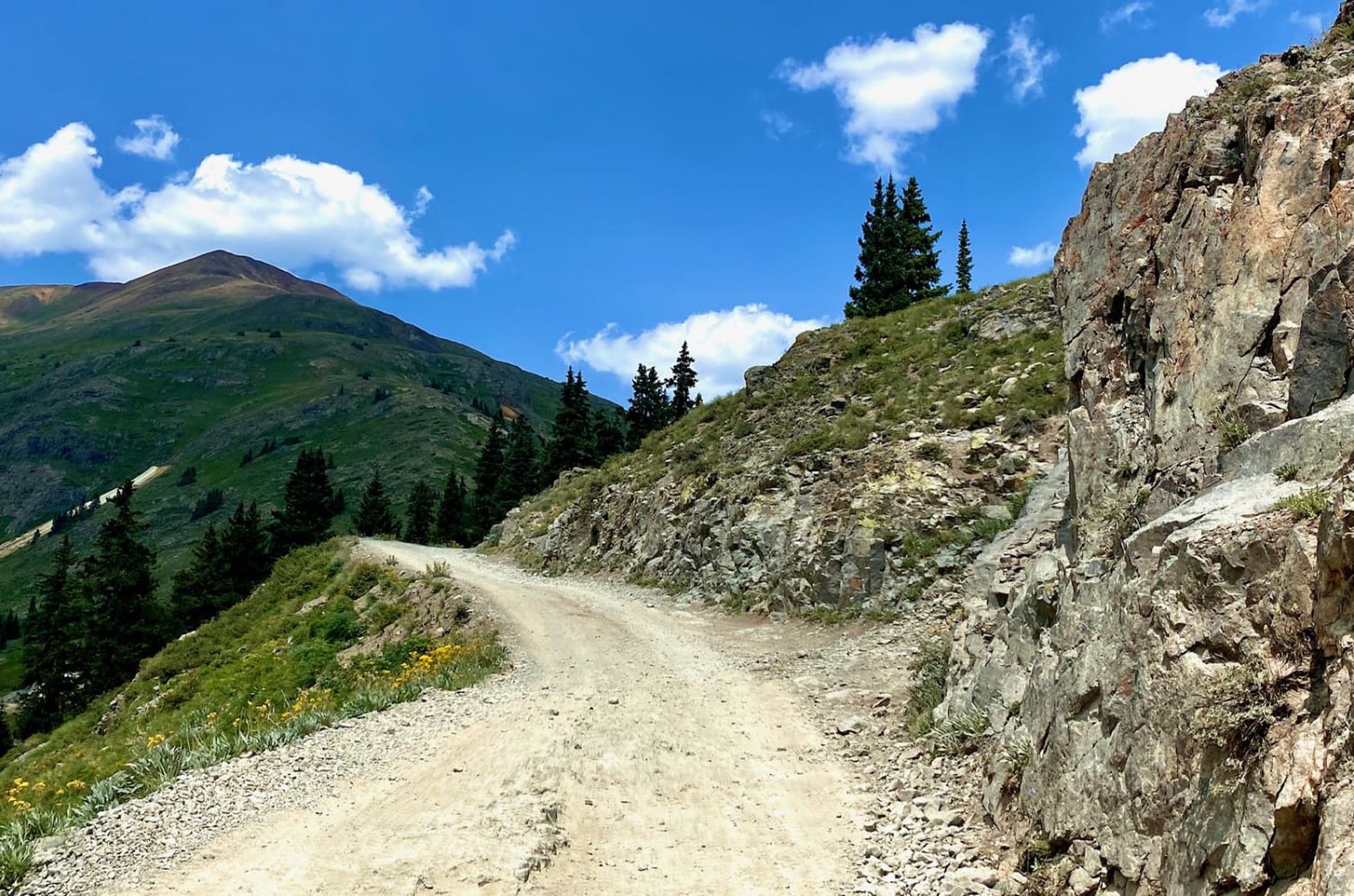
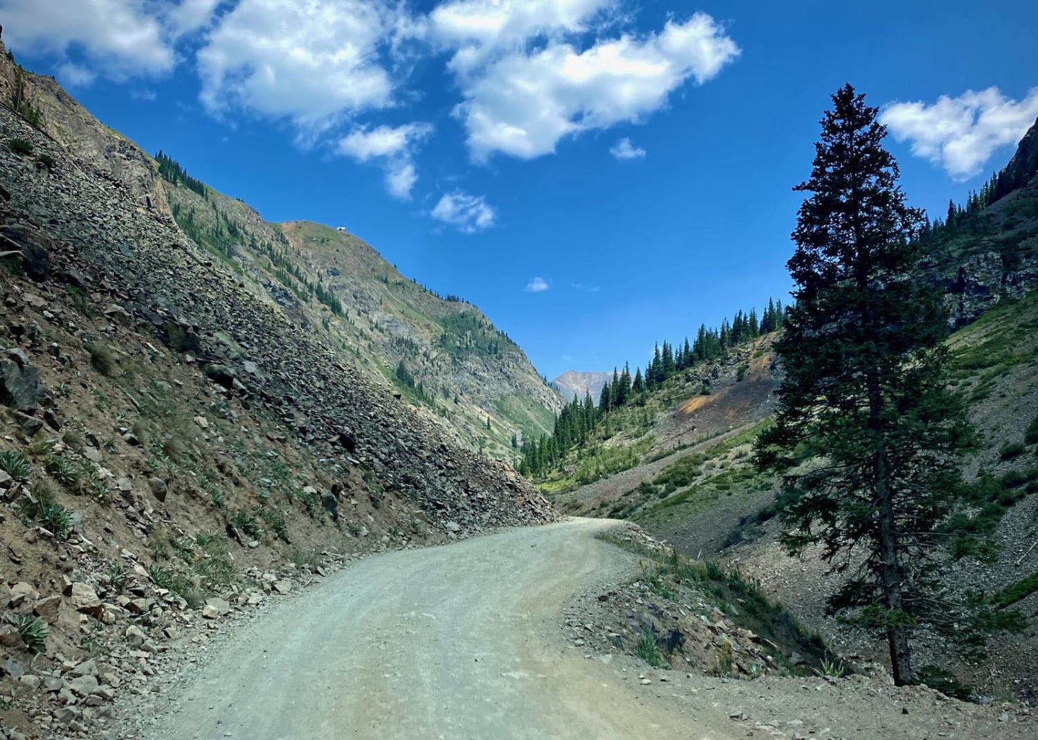
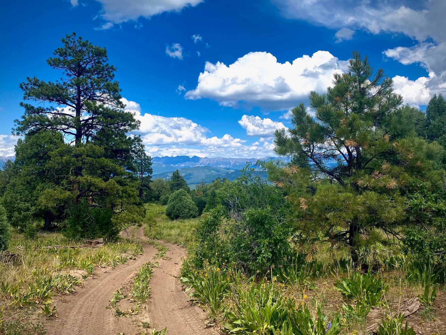
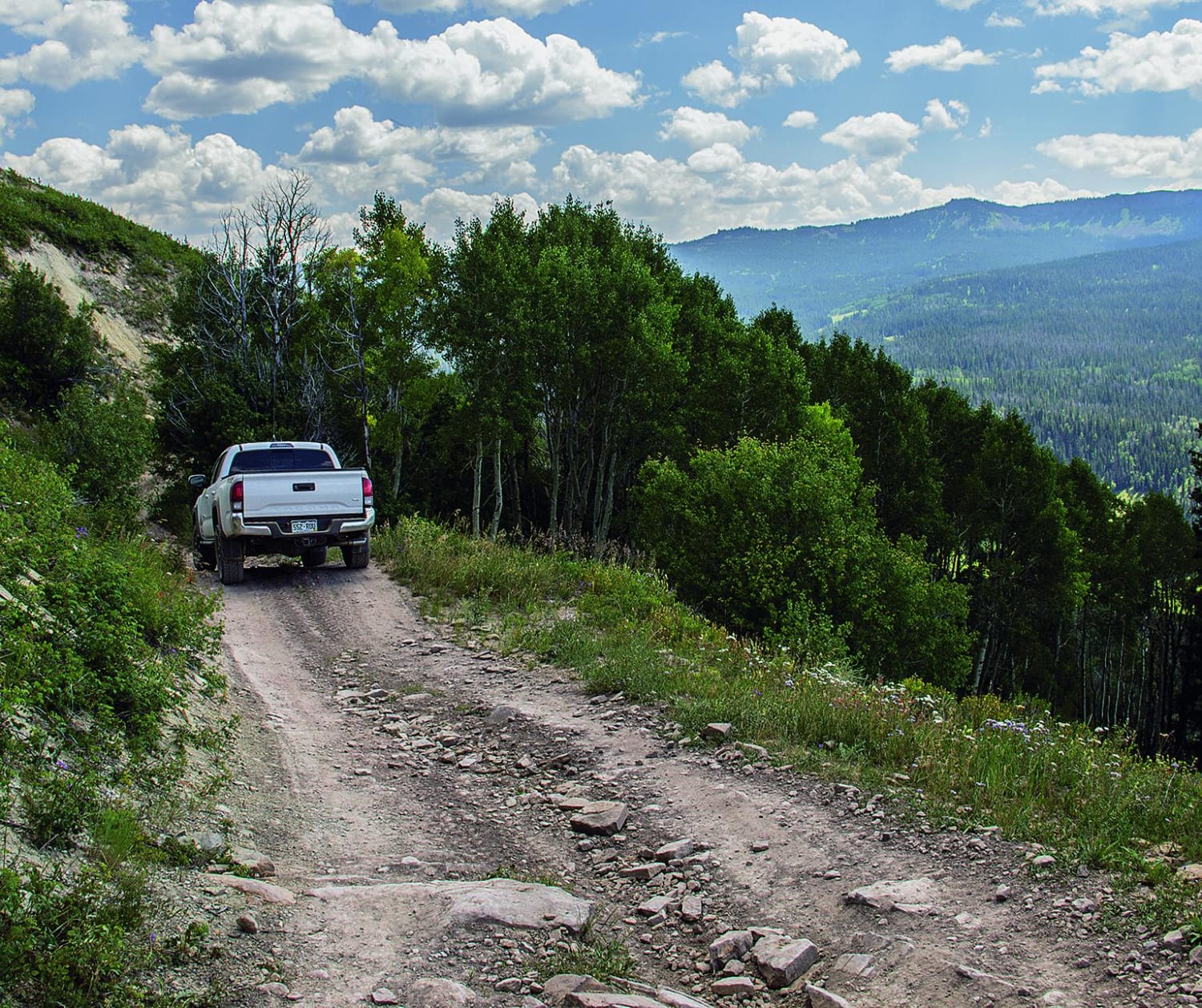
County Road 2 out of Silverton is part of the Alpine Loop Scenic Byway. It is an historic mining road that connects to many side trails, while following part of an old railroad grade and mines. The road itself is almost three different trails, as it changes in terrain and difficulty. The first section runs from Silverton to Eureka, the Sunnyside Mine and Eureka Gulch trail, as well as an RV park. This road is graded gravel, and suitable for any vehicle. The second section runs from Eureka to Animas Forks ghost town. The sign here warns of the need for high clearance, 4WD vehicles. If your vehicle allows the trip, Animas Forks is considered one of the best ghost towns in Colorado with its collection of preserved structures. The third section runs from Animas Forks to Engineer Pass, and is part of The Alpine Loop. From here on, you will need high-clearance 4WD vehicles. Some refer to this section as the North Fork Cutoff. It is much rockier with steeper hill climbs, and leads you to Cinnamon Pass and Engineer Pass. California Gulch and Mineral Creek trails also connect into this section.
Weather
Status Reports
Go Farther
Try onX Offroad Elite for free for a week — no strings attached. Get access to thousands of off-road dirt trails and snowmobile trails across the nation. View your favorite zones in 3D. Send trails to friends. Start planning the trip of a lifetime now.
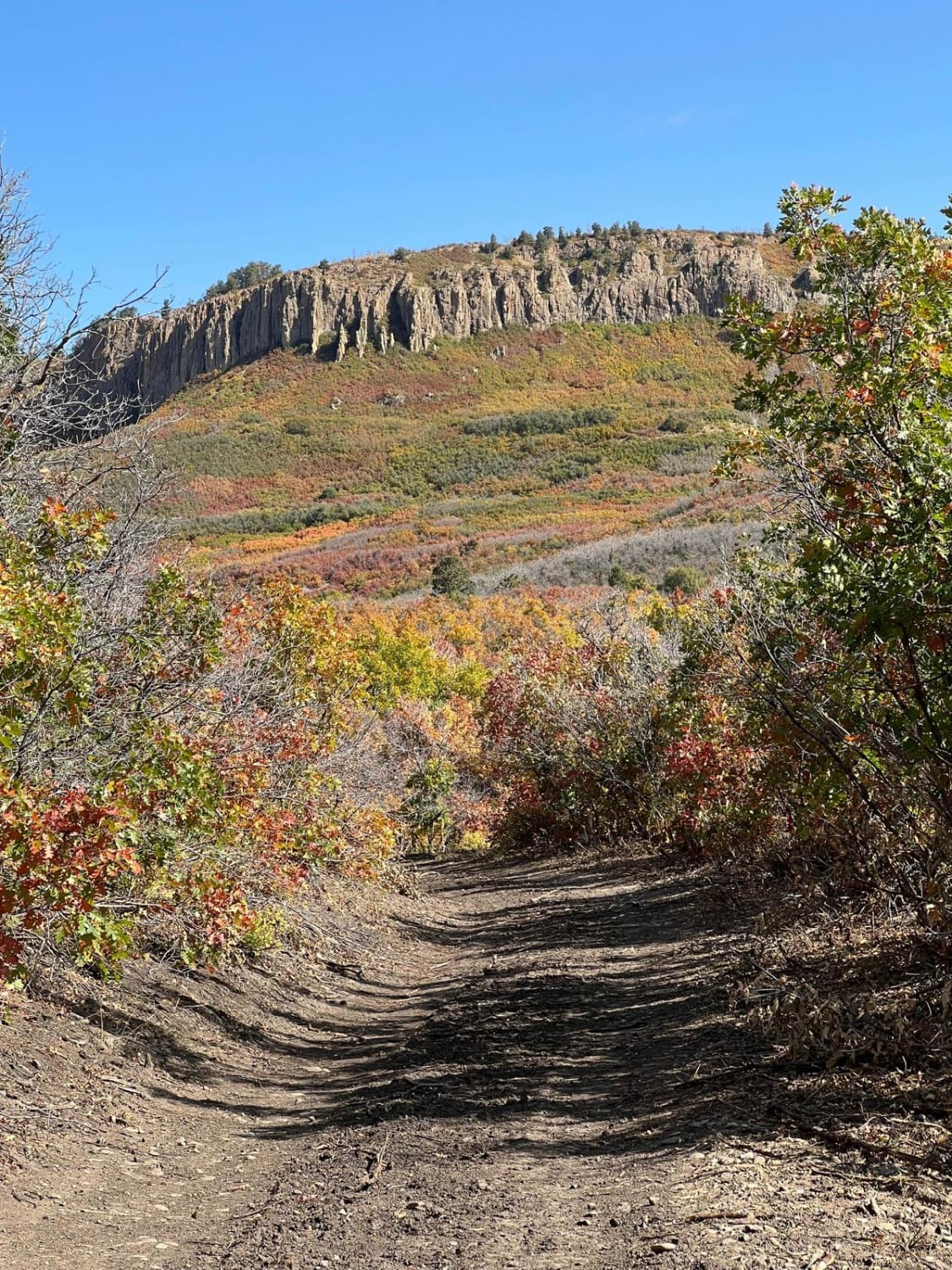
Nearby Trails
Eight Mile Mesa B-USFS Rd #651B
Sheephorn Mountain