IDE Valley Road
Total Miles
4.6
Elevation
1,569.97 ft
Duration
--
Technical Rating
Best Time
Fall, Spring
Trail Overview
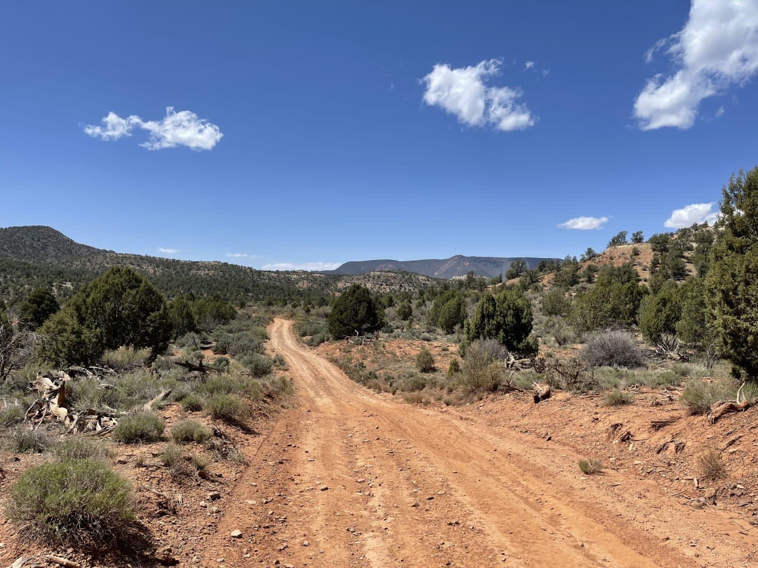
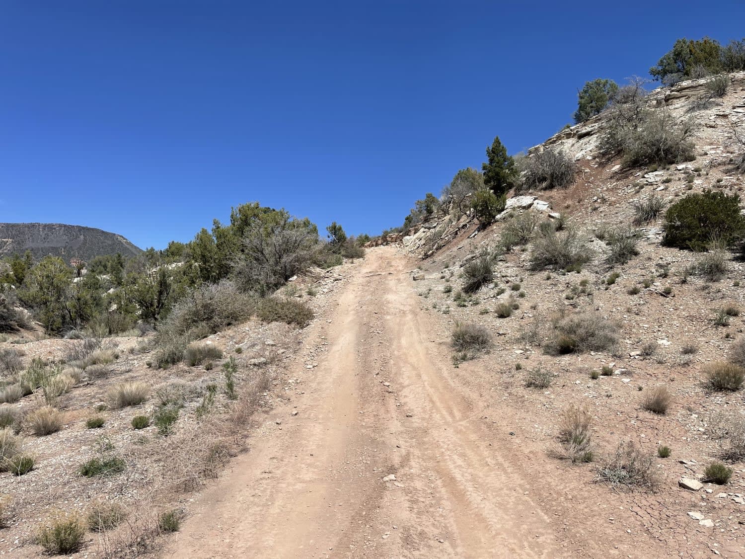
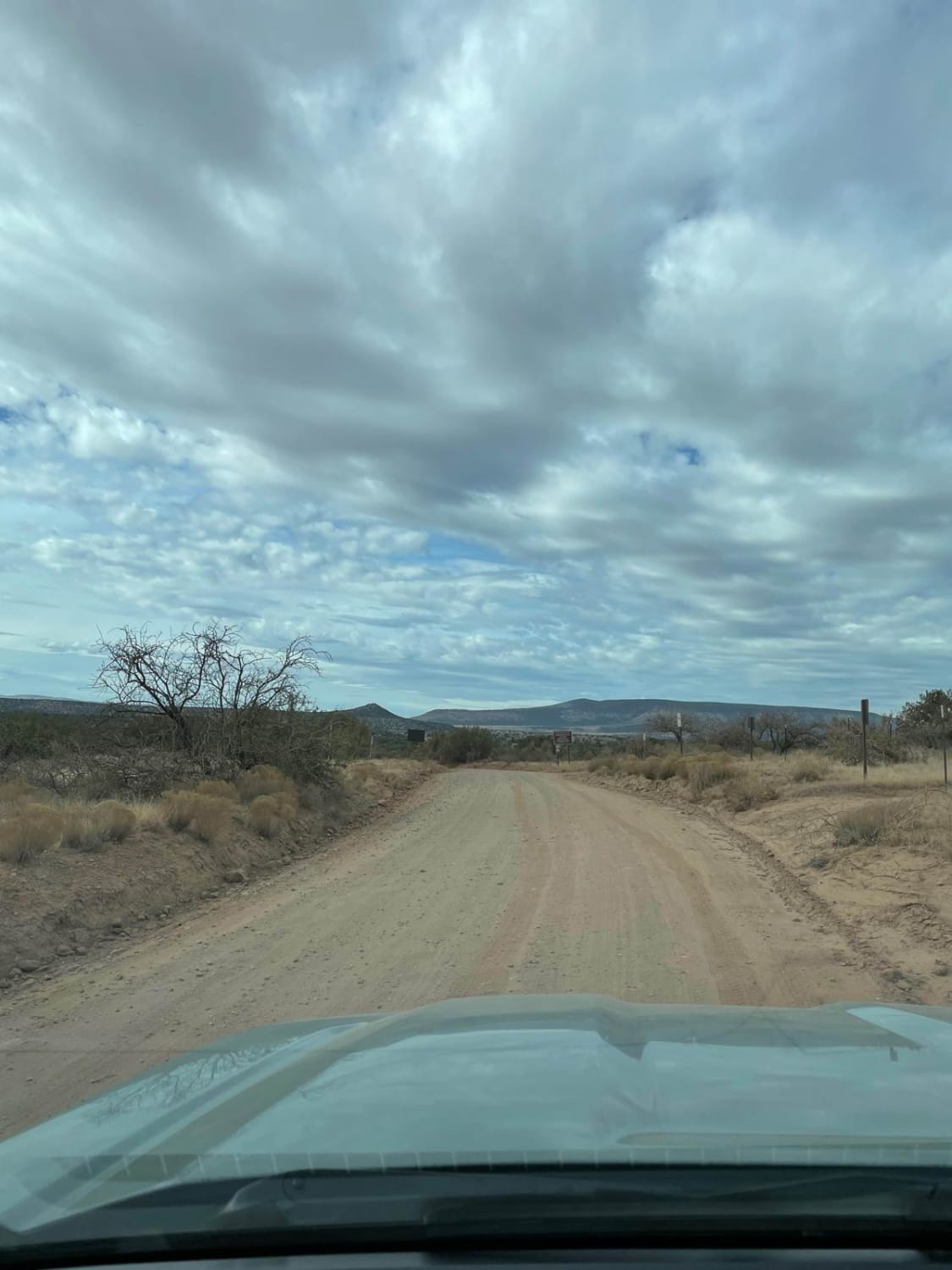
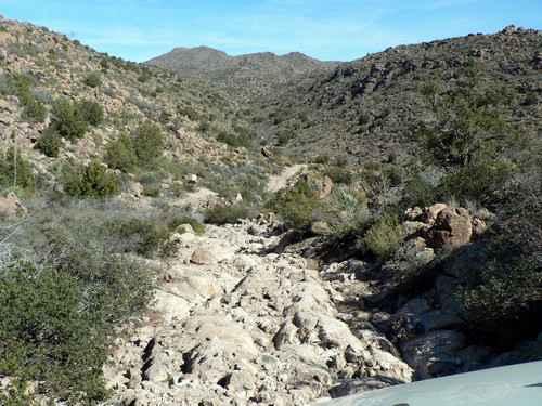
This hilly rutted trail heads down the main track into IDE valley. The trails are mostly easy, with a few high spots providing stunning views. The IDE springs are to the right as you descend the hill, but they appeared to be pretty dry at the time of recording. There is a wooden sign noting their location, and a short walk off the trail will take you to the grassy section where they are supposed to begin. At the bottom of the trail, it appears to have continued over a very washed-out section of wash heading into the valley, but that route does not all seem to be used anymore. There are some loose hill climbs and off-camber washed-out sections. It would be muddy soup if wet. No cell service.
Photos of IDE Valley Road
Difficulty
A few longer steep loose hills and washed out transitions
Status Reports
Popular Trails
Rolls OHV Area East
Black Mountain Petroglyph via St. George
Sycamore Pass Road
Devil's Canyon
Go Farther
Try onX Offroad Elite for free for a week — no strings attached. Get access to thousands of off-road dirt trails and snowmobile trails across the nation. View your favorite zones in 3D. Send trails to friends. Start planning the trip of a lifetime now.
