Rolls OHV Area East
Total Miles
12.1
Technical Rating
Best Time
Spring, Summer, Fall, Winter
Trail Type
Full-Width Road
Accessible By
Trail Overview
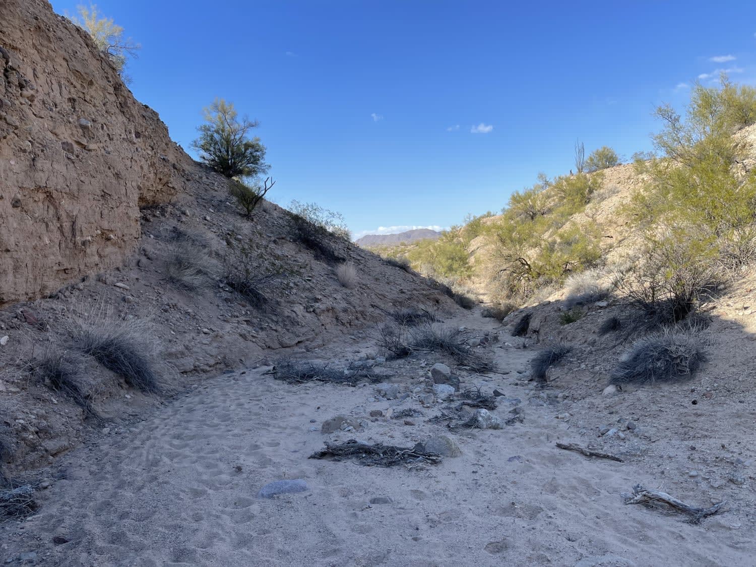
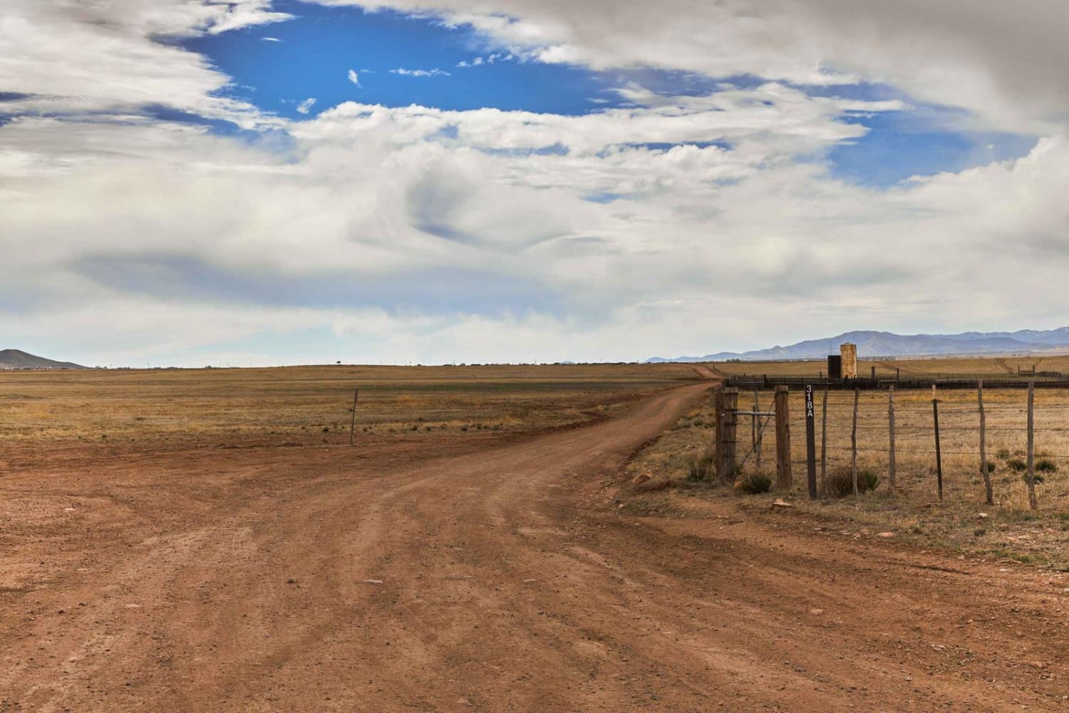
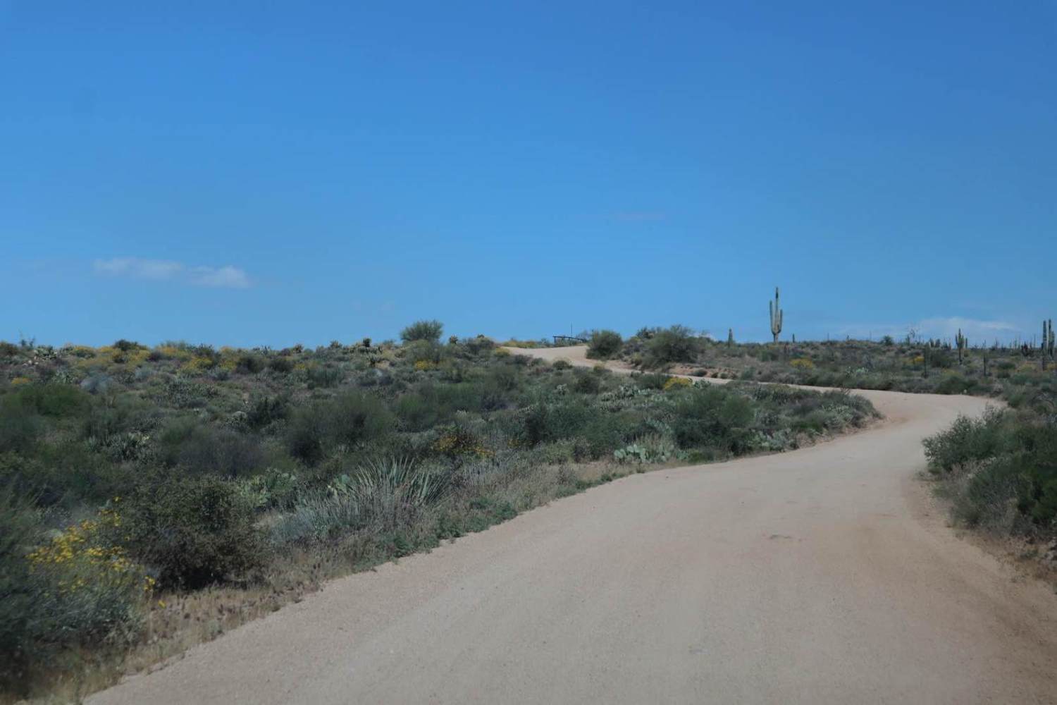
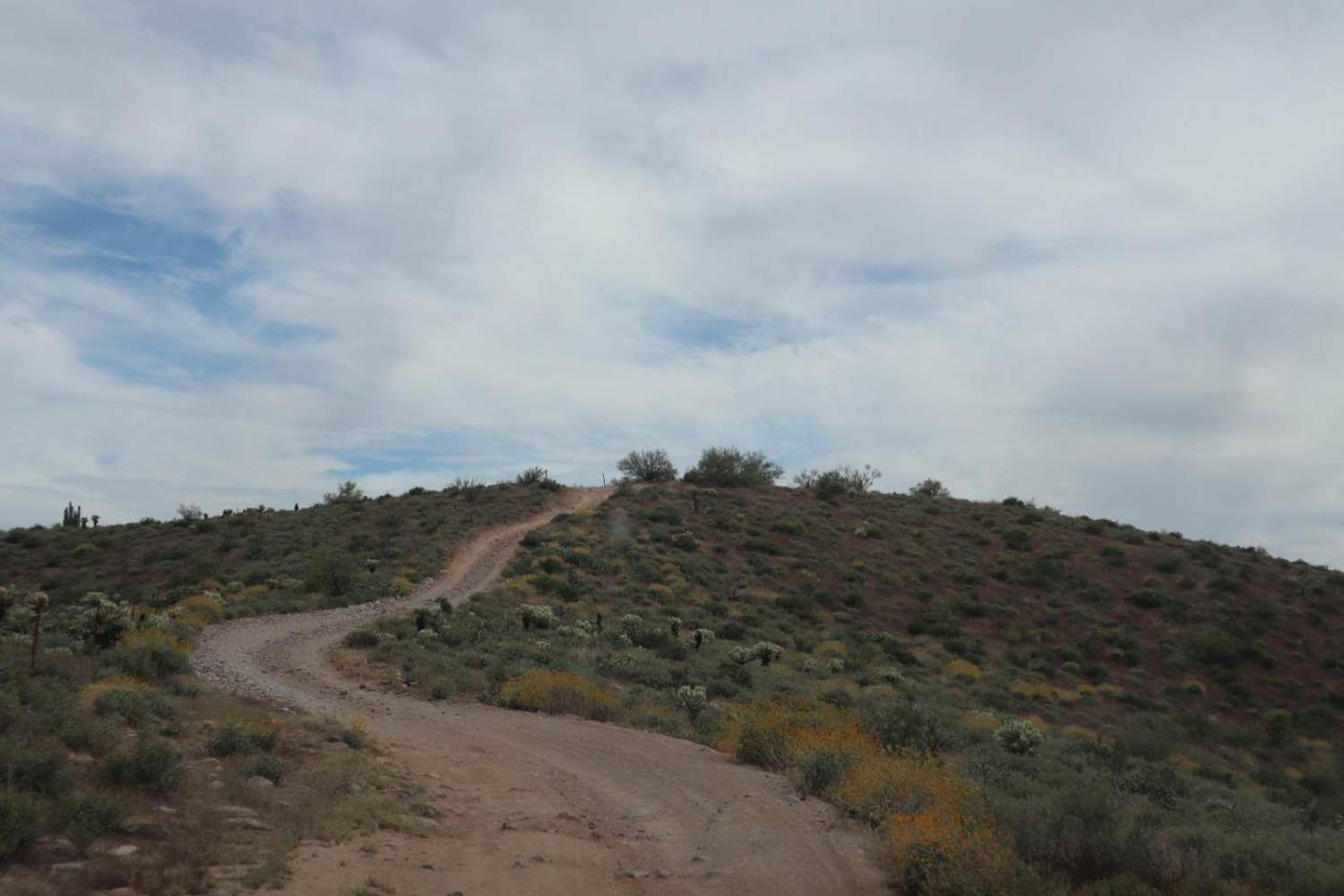
The Rolls OHV East Loop is an 18-mile loop of everything the Rolls has to offer. The route consists of a combination of easy, sandy wash roads, loose chunky rock roads, tough climbs that are steep and loose, views of desert flora, and an epic lakeside oasis along Saguaro Lake. Inclement weather and flash flooding may impact this route drastically. Monitoring conditions is advised. Pack out what you packed in.
Photos of Rolls OHV Area East
Difficulty
The majority of the west side of this loop is easy-going, sandy wash road. However, the difficulty rating for this trail is earned by the two-mile stretch along the bottom "U" portion of the loop, in which several steep and loose climbs/descents with washout and erosion throughout are encountered. Extreme caution should be used, as rollovers are entirely possible with poor tire placement, especially in regard to independent suspension vehicles. Grades exceeding 30% may be encountered in some areas. The east side of the loop is a steep, rocky, loose, single-width route. Low range is highly recommended.
Status Reports
Popular Trails

Haley Hills Overlook

Happy's Runoff

The Not a Slot Canyon

Woodchute Mtn/Smiley Rock Connector
The onX Offroad Difference
onX Offroad combines trail photos, descriptions, difficulty ratings, width restrictions, seasonality, and more in a user-friendly interface. Available on all devices, with offline access and full compatibility with CarPlay and Android Auto. Discover what you’re missing today!


