Woodchute Mtn/Smiley Rock Connector
Total Miles
5.7
Technical Rating
Best Time
Spring, Fall, Winter
Trail Type
Full-Width Road
Accessible By
Trail Overview
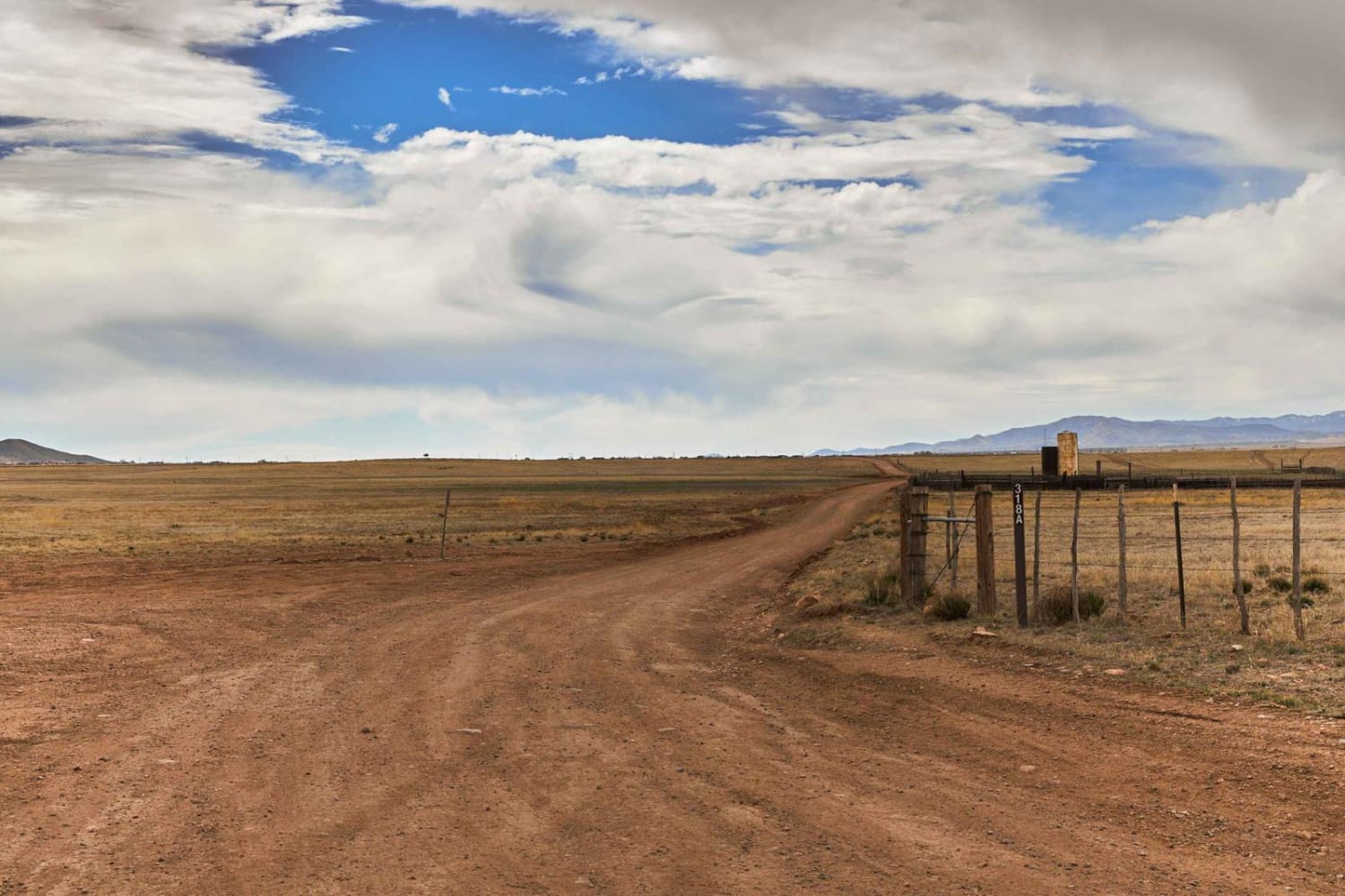
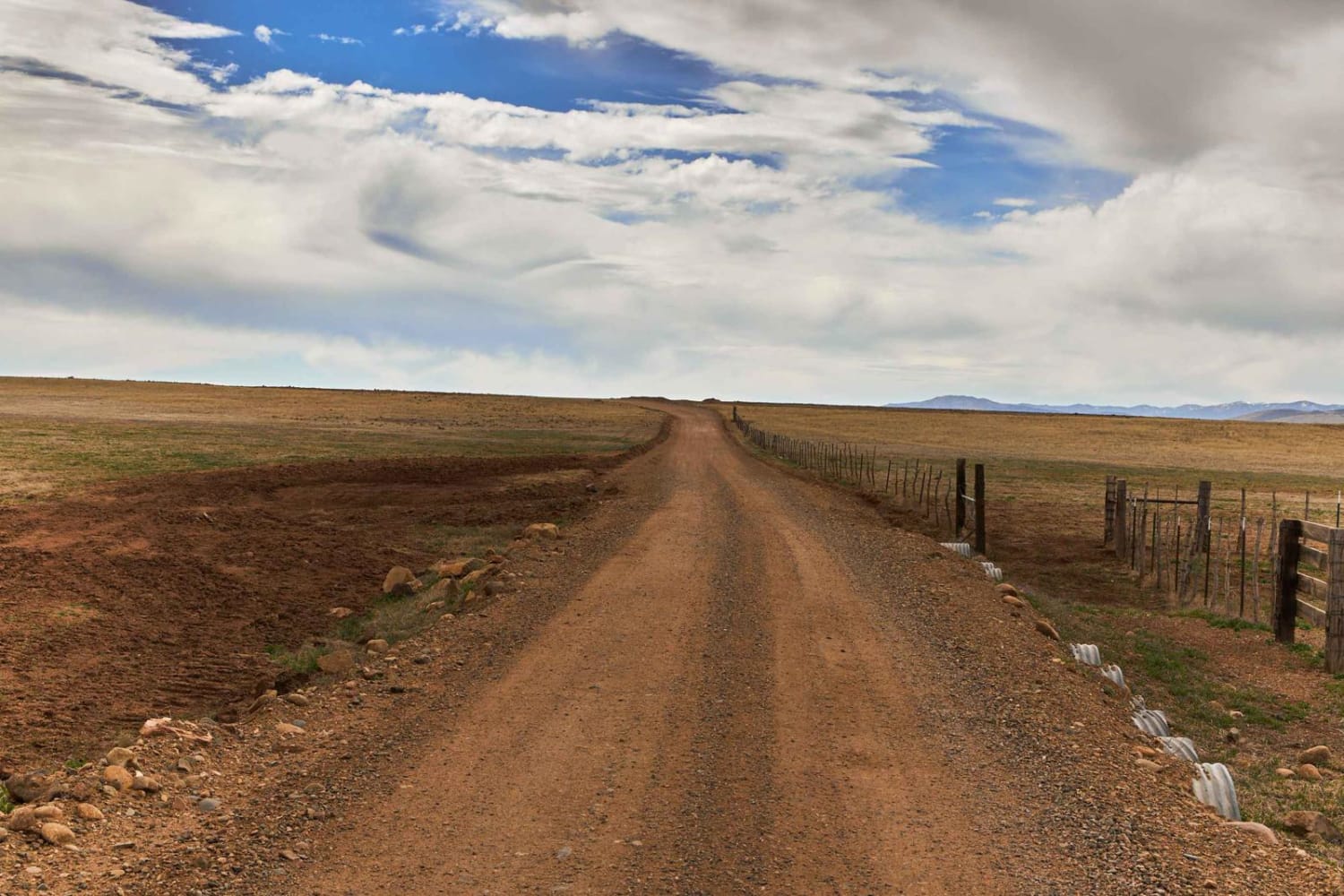
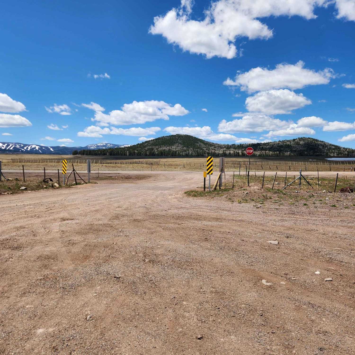
This trail provides a wide gentle drive through the beautiful rolling pastures outside of Prescott, AZ. A mellow backway into the nearby Smiley Rock Loop, this trail is two lanes wide, gradually narrowing as you head East, but not to worry, dear traveler, it stays wide enough to drive comfortably. Wildlife can be viewed along this trail, most commonly horses and antelope. There are no obstacles on this trail, though at its terminus you'll find signage advising on the approach to Smiley Rock. This is a great way to slow down, relax, and enjoy a pretty drive. 2 bars of LTE were present along this entire drive.
Photos of Woodchute Mtn/Smiley Rock Connector
Difficulty
You will come across dirt or rocky road with gentle grades. Safe for most 4WD and high-clearance 2WD vehicles. Roads are typically two vehicles wide.
Popular Trails

Reserve Bank Mine Trail

The Way Out

Central FS 214
The onX Offroad Difference
onX Offroad combines trail photos, descriptions, difficulty ratings, width restrictions, seasonality, and more in a user-friendly interface. Available on all devices, with offline access and full compatibility with CarPlay and Android Auto. Discover what you’re missing today!


