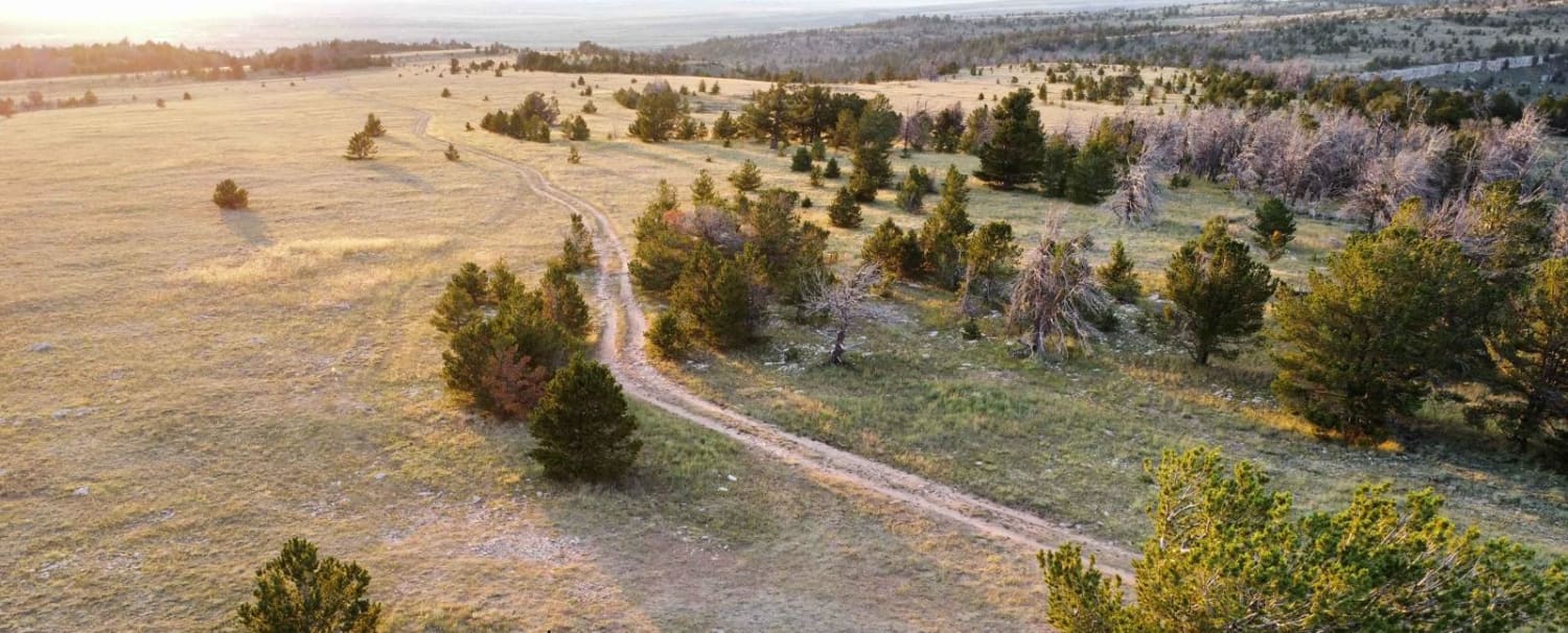
Sullivon Spring Road
Total Miles
1.5
Elevation
2,675.98 ft
Duration
0.5 Hours
Technical Rating
Best Time
Summer, Fall
Trail Overview
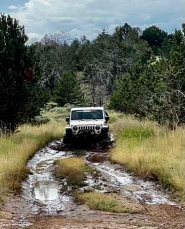
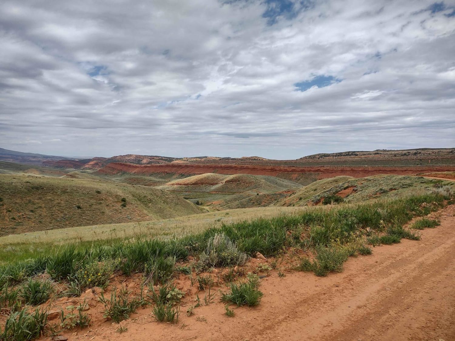
Sullivon Spring Road is a dead-end out-and-back trail that ends at the Pilot Hill Wildlife Habitat Management Area. This is one of the rougher Forest service roads in the Pole Mountain area of Medicine Bow National Forest between Laramie and Cheyenne. Like other roads in the area, it has a few dispersed campsites, but also boasts great views of the city of Laramie and the Snowy Range mountains beyond.
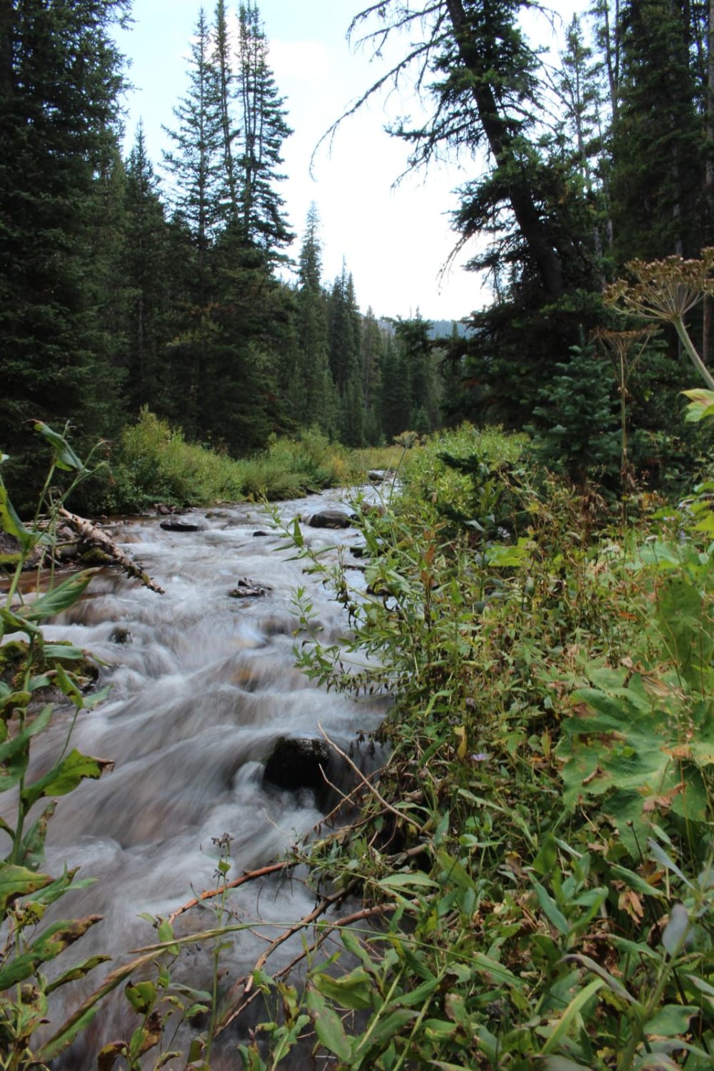
Photos of Sullivon Spring Road
Difficulty
This road has some larger bump rock, a short steep rutted section, and a couple deep holes that hold water and mud.
Status Reports
Popular Trails
Lower Cabin Creek
Where the Deer and the Antelope Play
North Piney Lake
Red Canyon Road
The onX Offroad Difference
onX Offroad combines trail photos, descriptions, difficulty ratings, width restrictions, seasonality, and more in a user-friendly interface. Available on all devices, with offline access and full compatibility with CarPlay and Android Auto. Discover what you’re missing today!