Red Canyon Road
Total Miles
10.1
Technical Rating
Best Time
Spring, Summer, Fall
Trail Type
Full-Width Road
Accessible By
Trail Overview
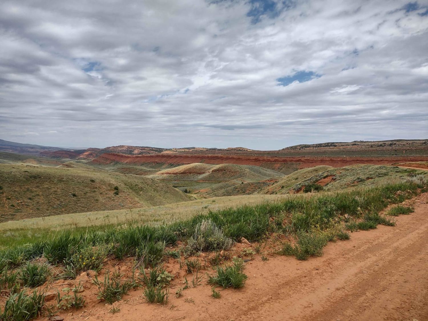
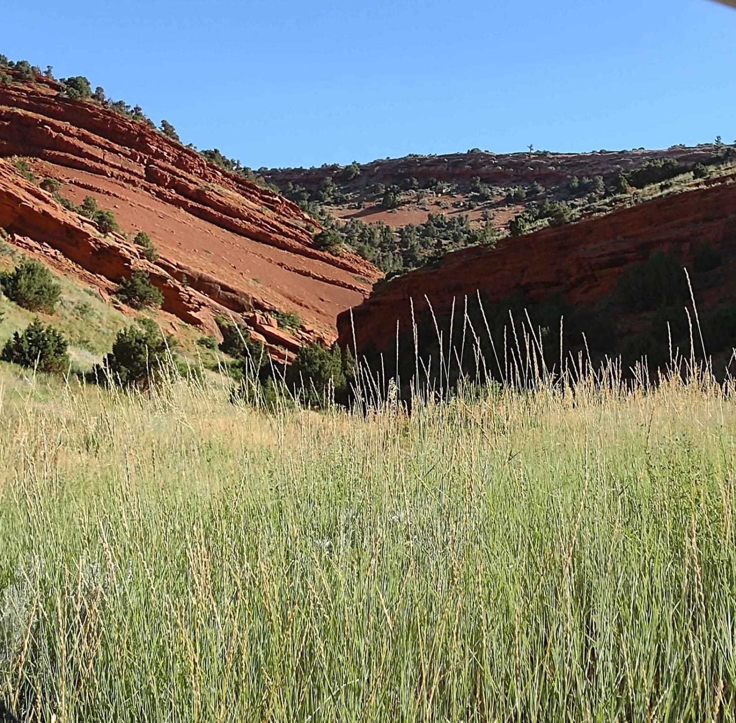
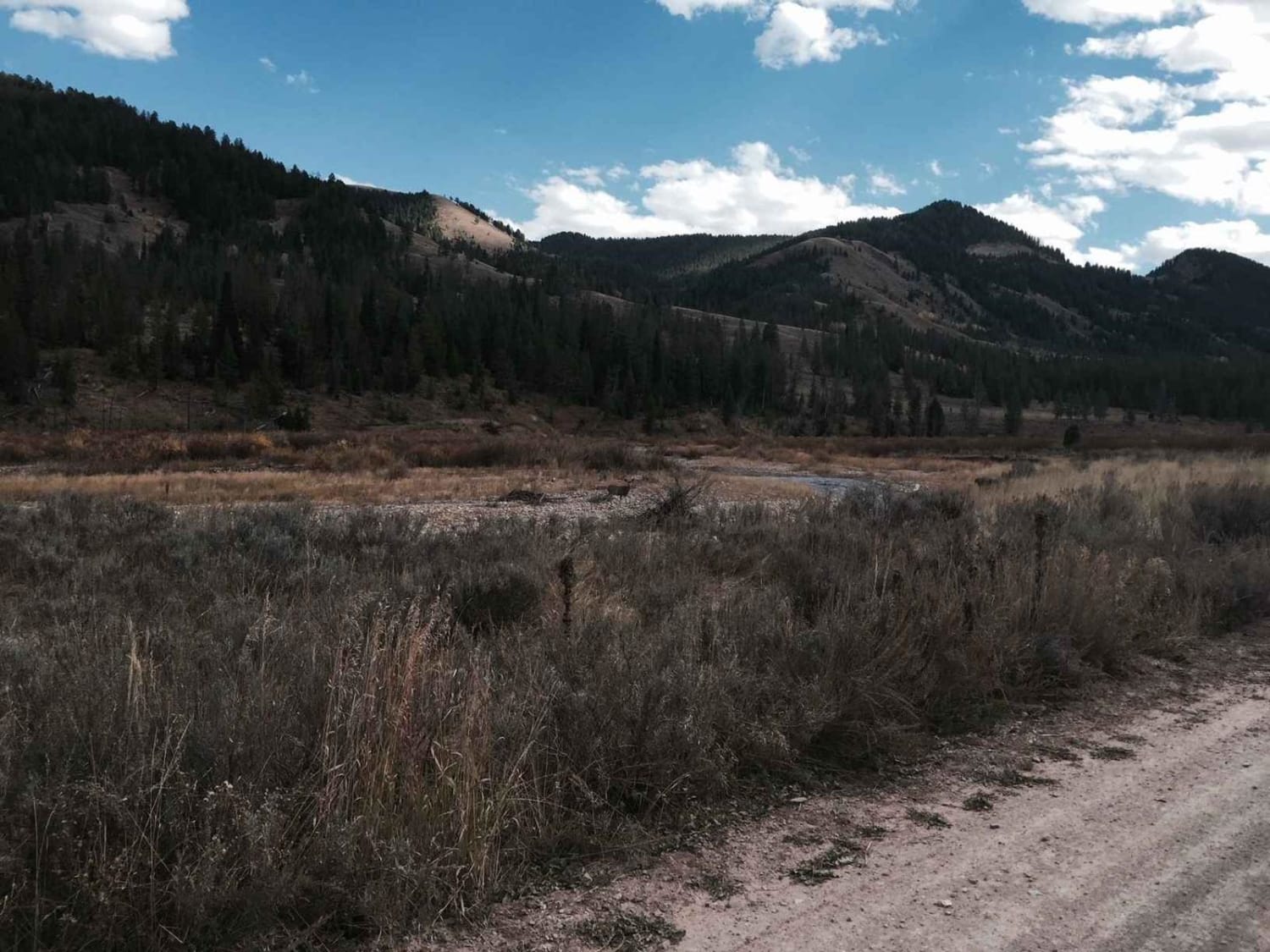
Bypass the pavement and explore this beautiful canyon just west of Highway 28 south of Lander. High red rock cliffs run along the Little Popo Agie River. The canyon is filled with beautiful ranch property and a wildlife habitat management area. Even in mid-August, it is green and pretty. The north end of this 10-mile road has a couple of small sections that are paved, in front of a driveway, but they're only about 100 yards each. The beauty of this drive is one of the draws! The other is it's a dirt road all the way down to Stairway to Heaven, Limestone Trail, Beaver Creek 4WD Trail, Limestone Mountain Road, Indian Trail, Louis Lake Road, and Little Rock Trail. North of the private residences in the canyon, the road is maintained. South of the private property, it's a trail. In places, you can tell the water runs across the trail during a rain or spring run-off. It's hard-packed dirt or clay, but when muddy, it'll be messy.
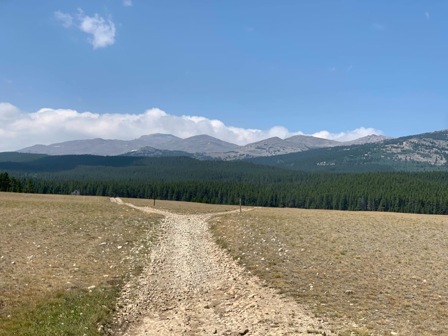
Photos of Red Canyon Road
Difficulty
The north end of the road is well maintained, but once you pass the last ranch, it becomes a trail. After a heavy rain or the spring run-off, it will be muddy in places. Otherwise, it's an easy road.
Popular Trails

Wyoming Big Horns
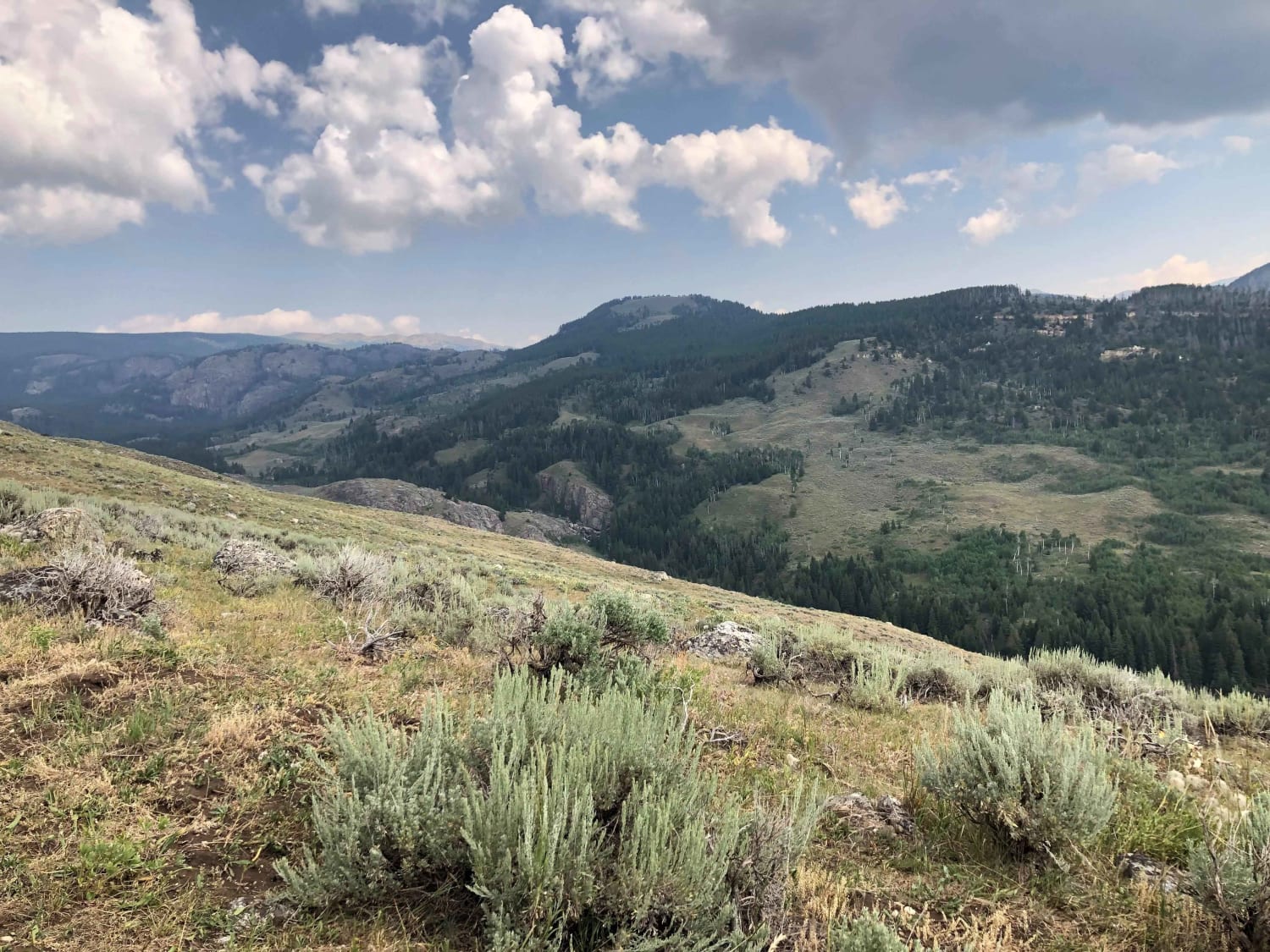
Paintrock Falls
Cliff Creek - 30530
The onX Offroad Difference
onX Offroad combines trail photos, descriptions, difficulty ratings, width restrictions, seasonality, and more in a user-friendly interface. Available on all devices, with offline access and full compatibility with CarPlay and Android Auto. Discover what you’re missing today!
