Hay Flat
Total Miles
27.5
Technical Rating
Best Time
Summer, Fall
Trail Type
Full-Width Road
Accessible By
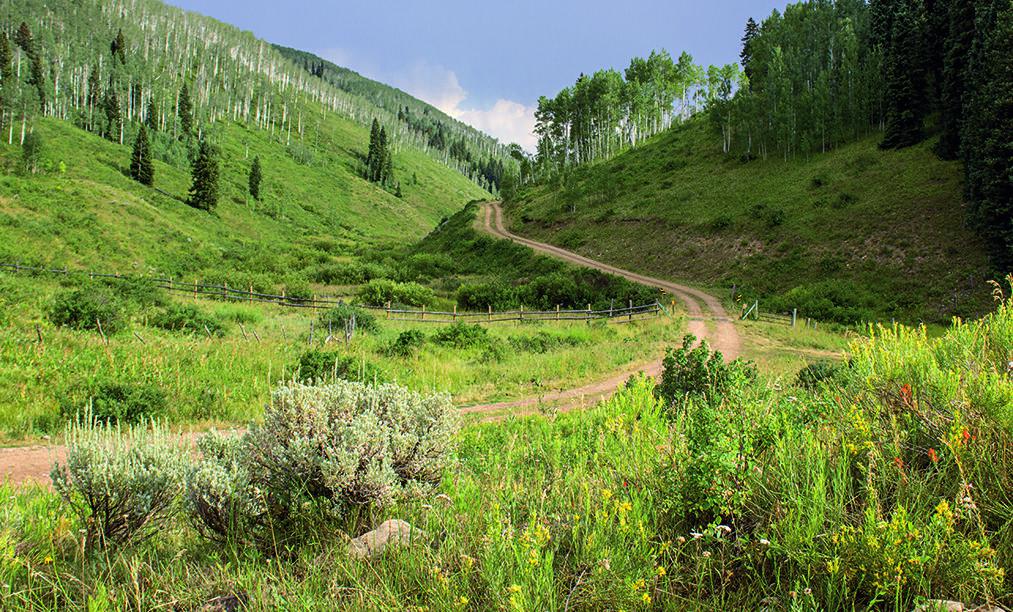
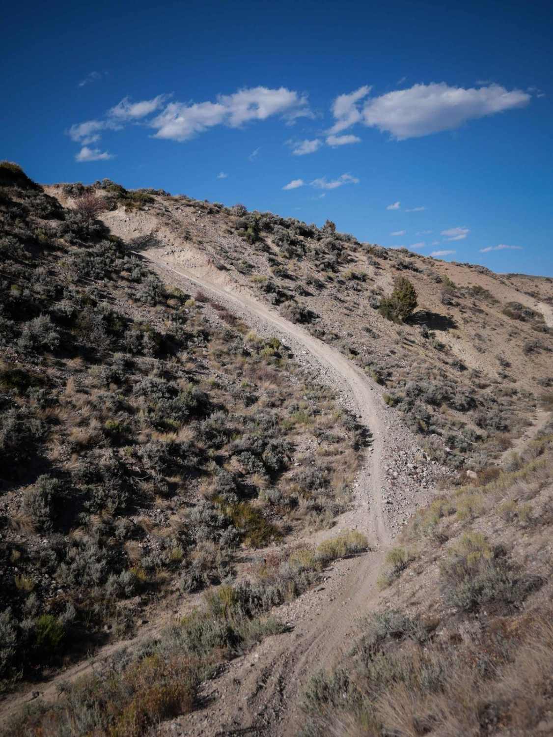
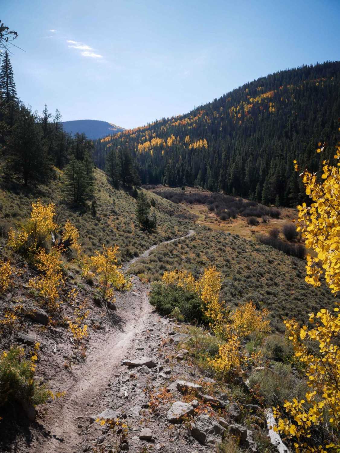
Trail Overview
Hay Flat will take you south from Meeker and up through an aspen forest to a high flat area east of Grand Hogback. Enjoy the beautiful views and watch out for grazing cattle. This route takes you through several state parks with camping and hiking options that can get busy on the weekends.
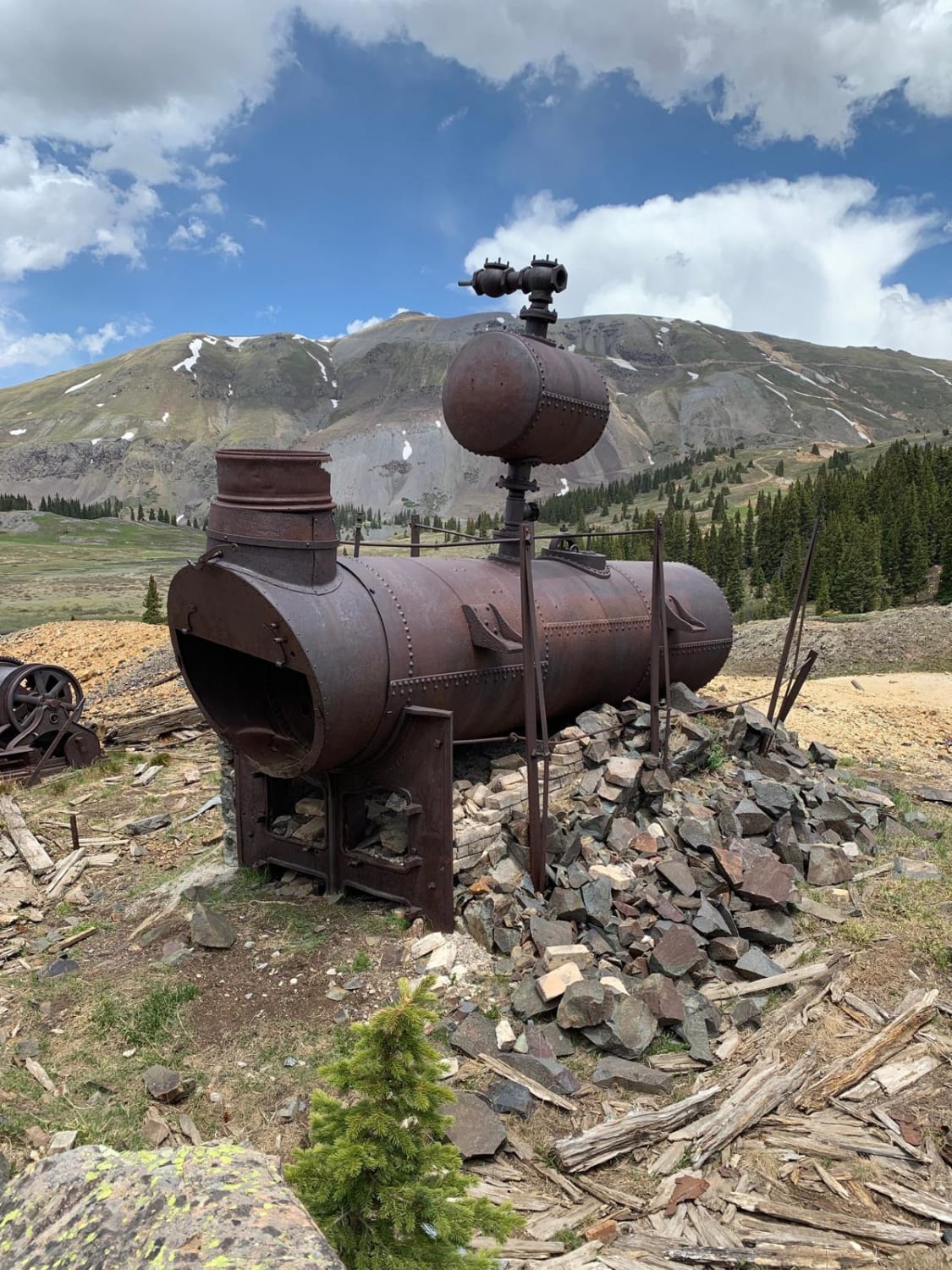
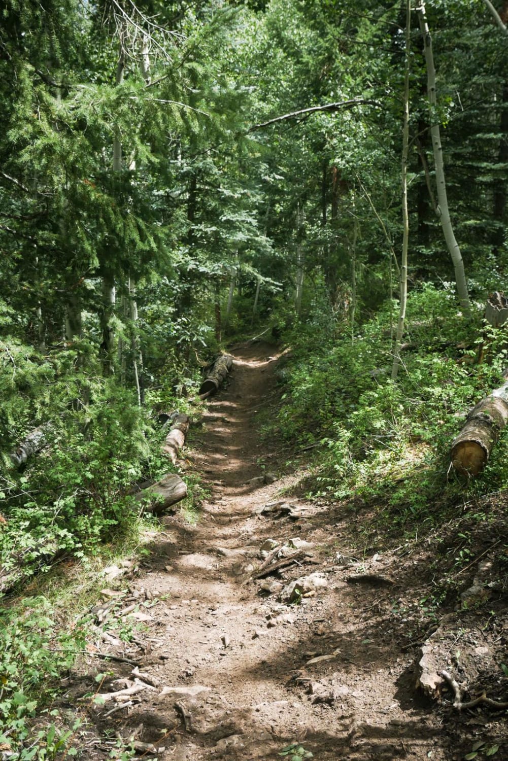
Photos of Hay Flat
Difficulty
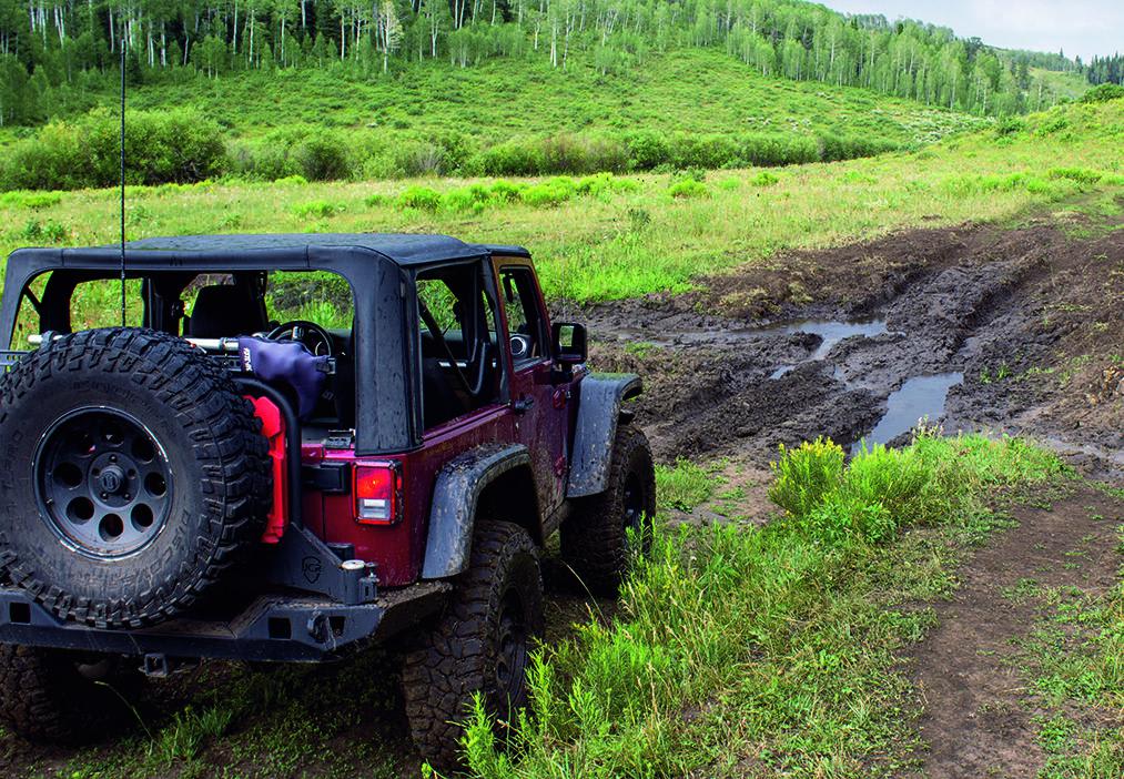
Moderate. Mildly steep and rutted. Narrow and muddy in places. When wet, difficulty will increase. F.S. 211 is a snowmobile route, marked with orange poles and orange diamond signs.
Status Reports

Popular Trails
Chicken Creek Trail
The onX Offroad Difference
onX Offroad combines trail photos, descriptions, difficulty ratings, width restrictions, seasonality, and more in a user-friendly interface. Available on all devices, with offline access and full compatibility with CarPlay and Android Auto. Discover what you’re missing today!