Second Creek Road-First Creek Road
Total Miles
10.6
Elevation
1,493.20 ft
Duration
2 Hours
Technical Rating
Best Time
Spring, Summer, Fall
Trail Overview
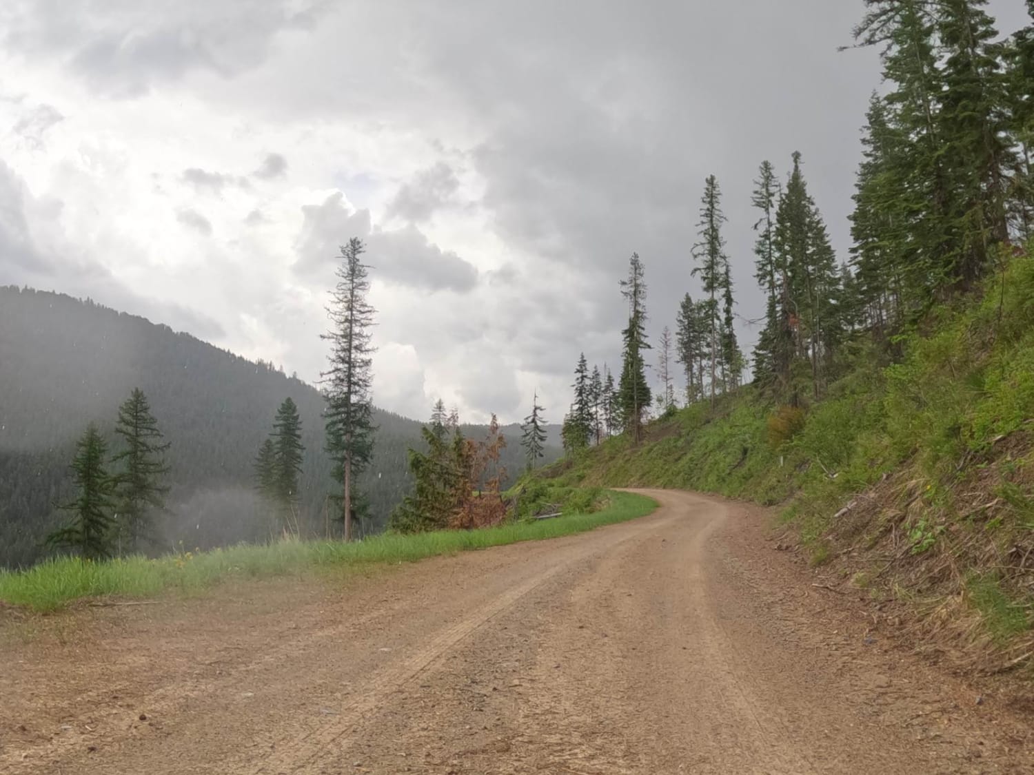
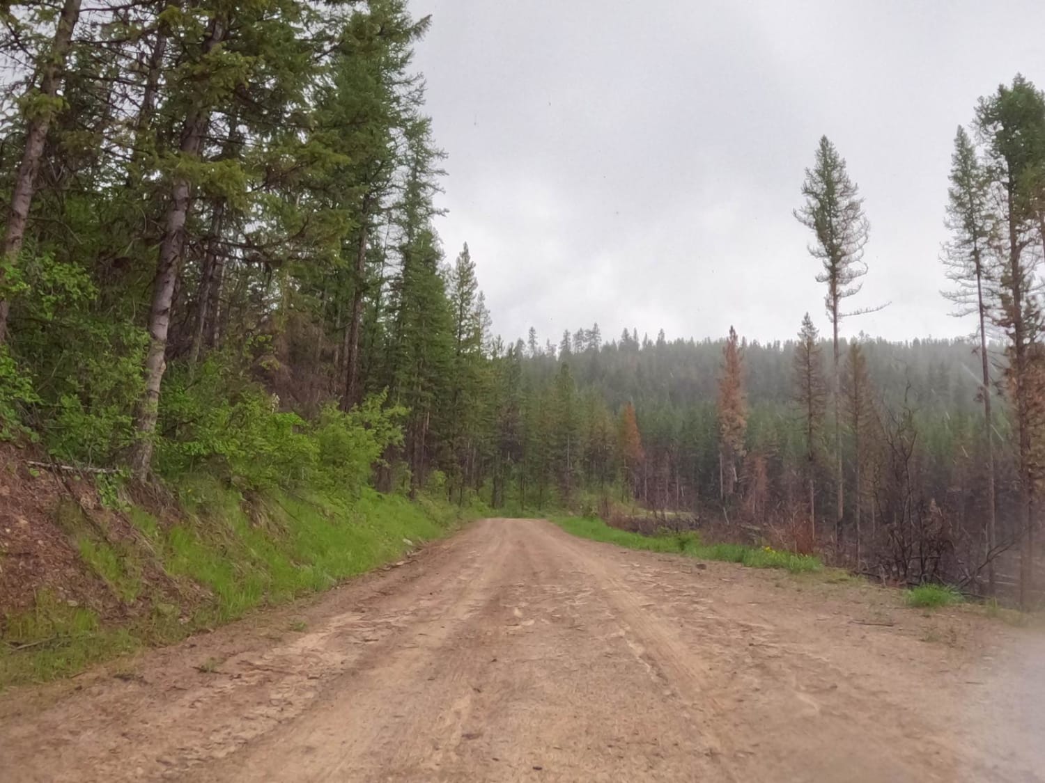
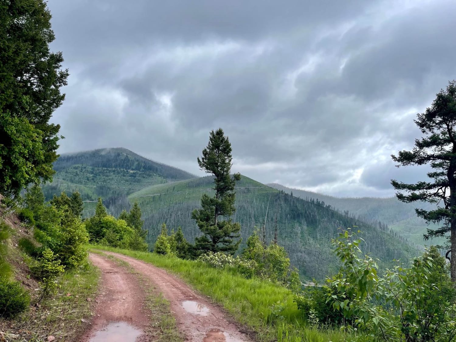
The route begins with a two-lane gravel road that eventually will shrink down to one lane in spots. The route passes thru dense forest lands, cedar forests, burned-out areas, and areas of new growth. Cell service will be lost in some areas, so download Offline Maps for this area before taking the route. The route is very scenic in places with all kinds of mountain views. There is no active logging being done in the area. Some loose rock and mostly gravel make up most spots of the roads. The route will climb up to 4900 feet.
Photos of Second Creek Road-First Creek Road
Difficulty
The road has many curves with some close to the steep embankments.
Popular Trails
West Fork Madison (FS 209)

Stonewall Mountain Lookout
Tin Cup Dispersed
Cottonwood Ridge
The onX Offroad Difference
onX Offroad combines trail photos, descriptions, difficulty ratings, width restrictions, seasonality, and more in a user-friendly interface. Available on all devices, with offline access and full compatibility with CarPlay and Android Auto. Discover what you’re missing today!
