Cascade Creek
Total Miles
11.1
Technical Rating
Best Time
Summer, Fall
Trail Type
Full-Width Road
Accessible By
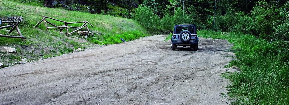
Trail Overview
Enjoy a drive through a nice network of mountain backroads on this loop between Georgetown and Idaho Springs. Be aware that it passes by a lot of private property and there is very little parking available for unlicensed vehicles. No seasonal closures, but check the weather.
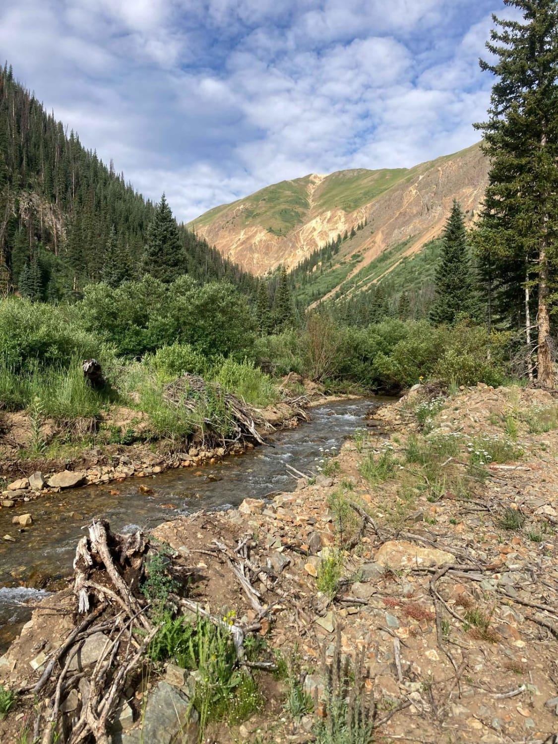
Photos of Cascade Creek
Difficulty
Difficult. Mostly moderate except for the western half of Cascade Creek Road 710.1. This part has loose boulders and tricky ledges. Harder going uphill in reverse direction. We did it in our stock Wrangler Sport going downhill, but it was a challenge.
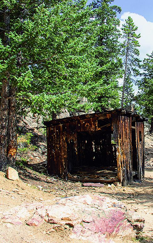
History
Hidden in the trees just south of Waypoint 04 is the townsite of Lamartine. A faint road 727.1B leads to it. A small town of about 500 mine workers lived here in the late 1890s to service the Lamartine Mine, shown on map. Just a few logs remain from a couple of cabins. If you look closely as you drive the trails, you'll see remains of many other mines in the area.
Status Reports

Popular Trails
Second Thoughts
South Fork Animas Trailhead

Dolly Varden Road (Windy Ridge)
The onX Offroad Difference
onX Offroad combines trail photos, descriptions, difficulty ratings, width restrictions, seasonality, and more in a user-friendly interface. Available on all devices, with offline access and full compatibility with CarPlay and Android Auto. Discover what you’re missing today!