Backway to Crown King
Total Miles
25.0
Technical Rating
Best Time
Summer
Trail Type
Full-Width Road
Accessible By
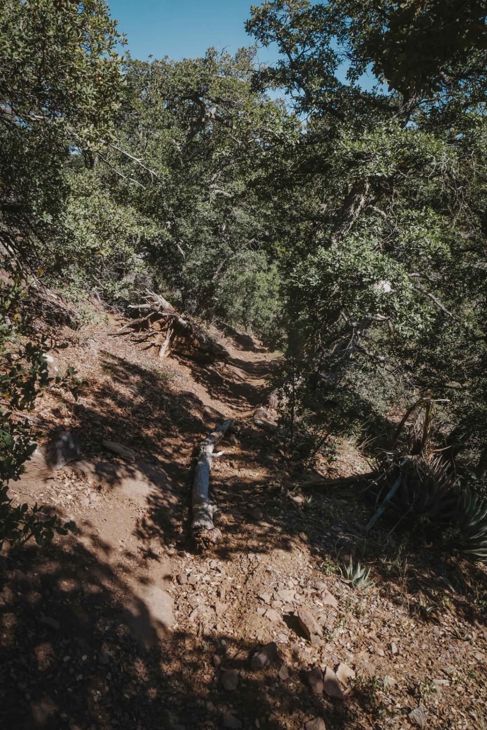
Trail Overview
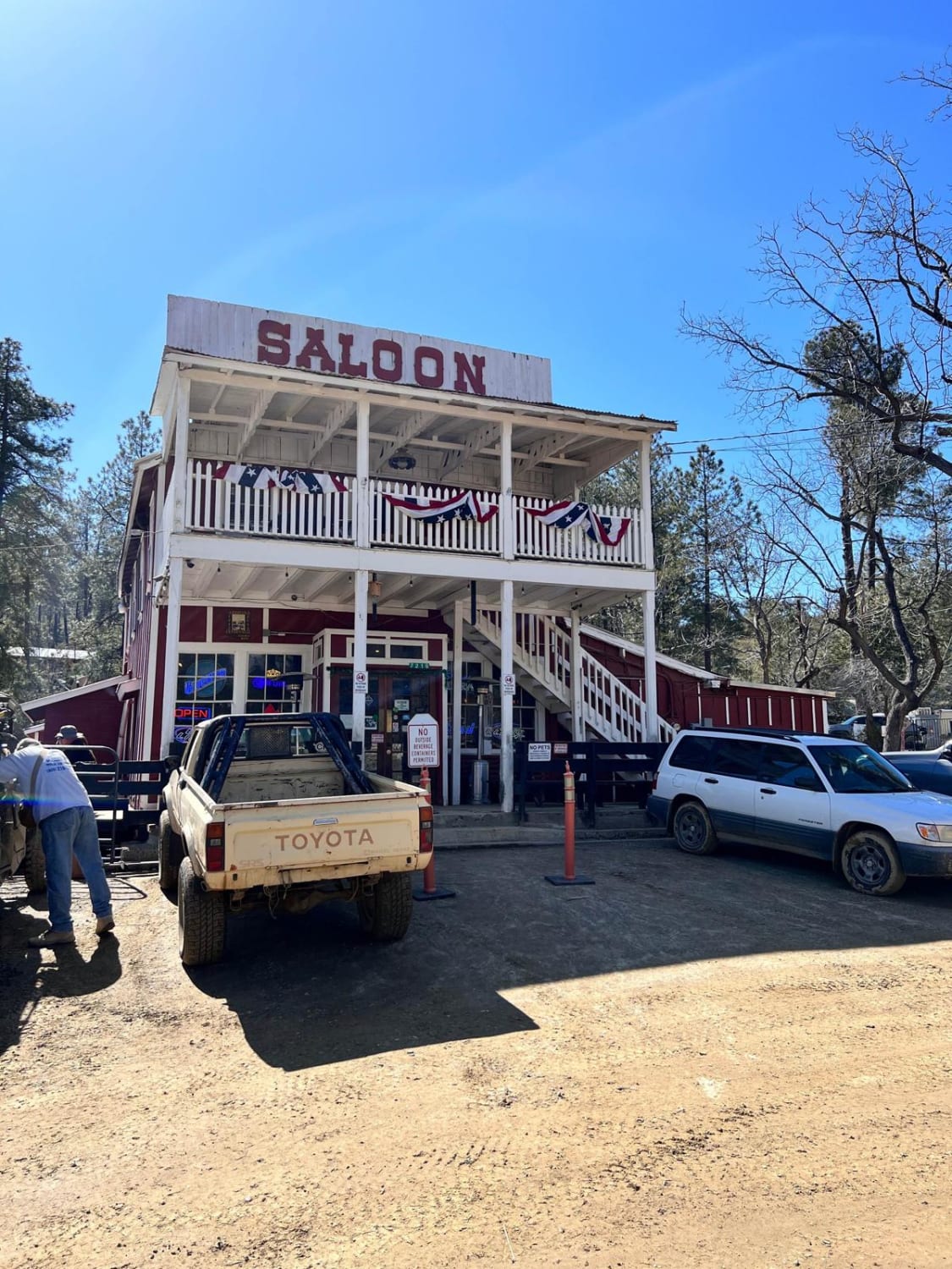
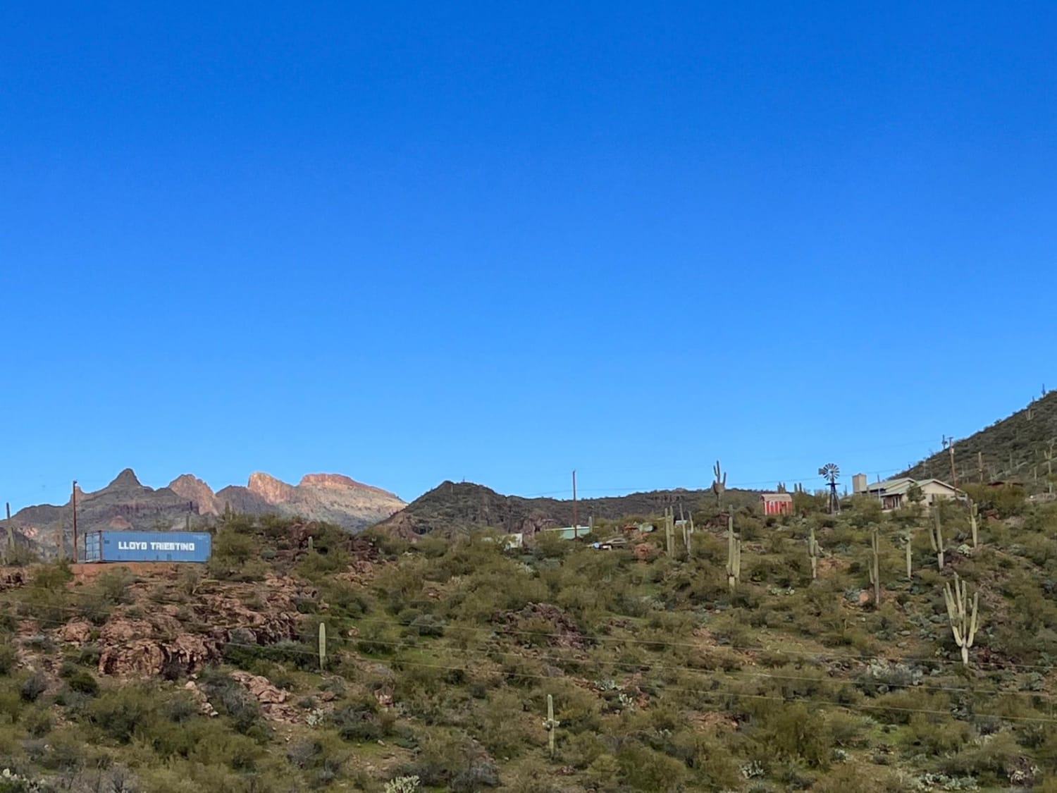
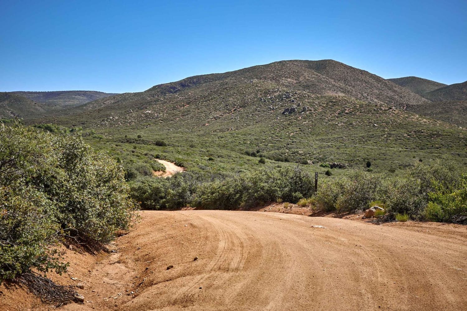
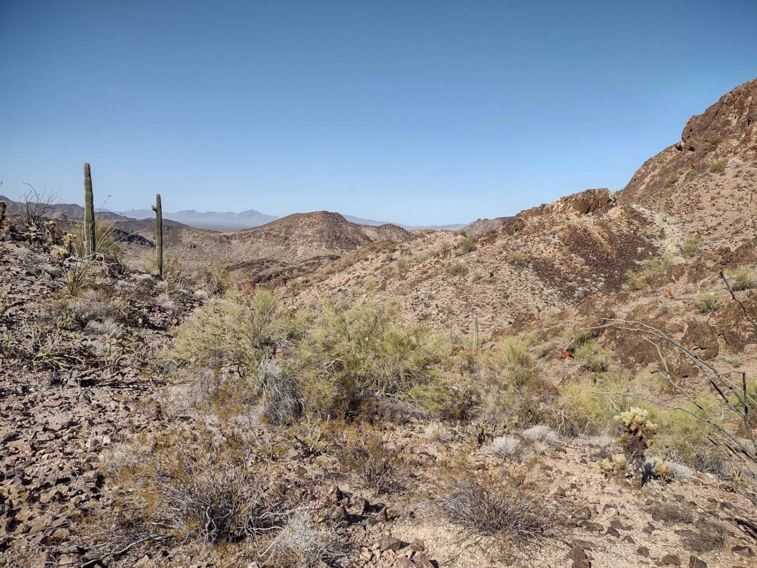
The Backway to Crown King begins at Lake Pleasant and ends at the old mining town of Crown King. This historic route offers something for everyone, making it the most popular 4x4 trail in Arizona. While the majority of the trail is easy to moderate, you will find some very challenging obstacles to test your skills. Unlicensed vehicles are allowed on roads in Prescott National Forest. Keep it street legal on Cow Creek Road. The conditions on this trail are ever-changing. Depending on the season, you may encounter erosion and creek crossings. Be sure to check conditions before you go. Dogs are allowed. The little town of Crown King, named for the Crowned King Mine-the largest mine in the Bradshaw Mountians- offers up some history, a chance to refuel and has several options for food and lodging.
Photos of Backway to Crown King
Difficulty
Several steep and rocky climbs without a bypass are present. Winter snow melt can change conditions because of erosion.
Status Reports

Popular Trails
Uncle Sam Road
Rockin' Ram Trail - Southern Section

Desert Byway
The onX Offroad Difference
onX Offroad combines trail photos, descriptions, difficulty ratings, width restrictions, seasonality, and more in a user-friendly interface. Available on all devices, with offline access and full compatibility with CarPlay and Android Auto. Discover what you’re missing today!