Hualapai Foothills
Total Miles
15.3
Elevation
1,334.34 ft
Duration
8 Hours
Technical Rating
Best Time
Spring, Summer, Fall, Winter
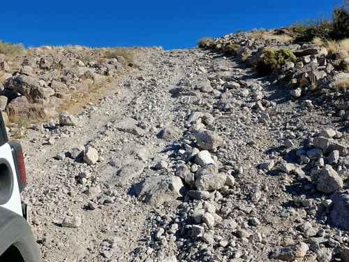
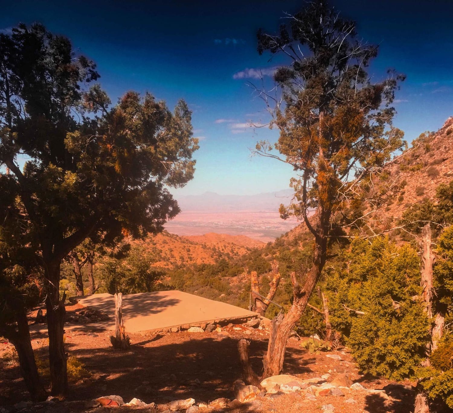
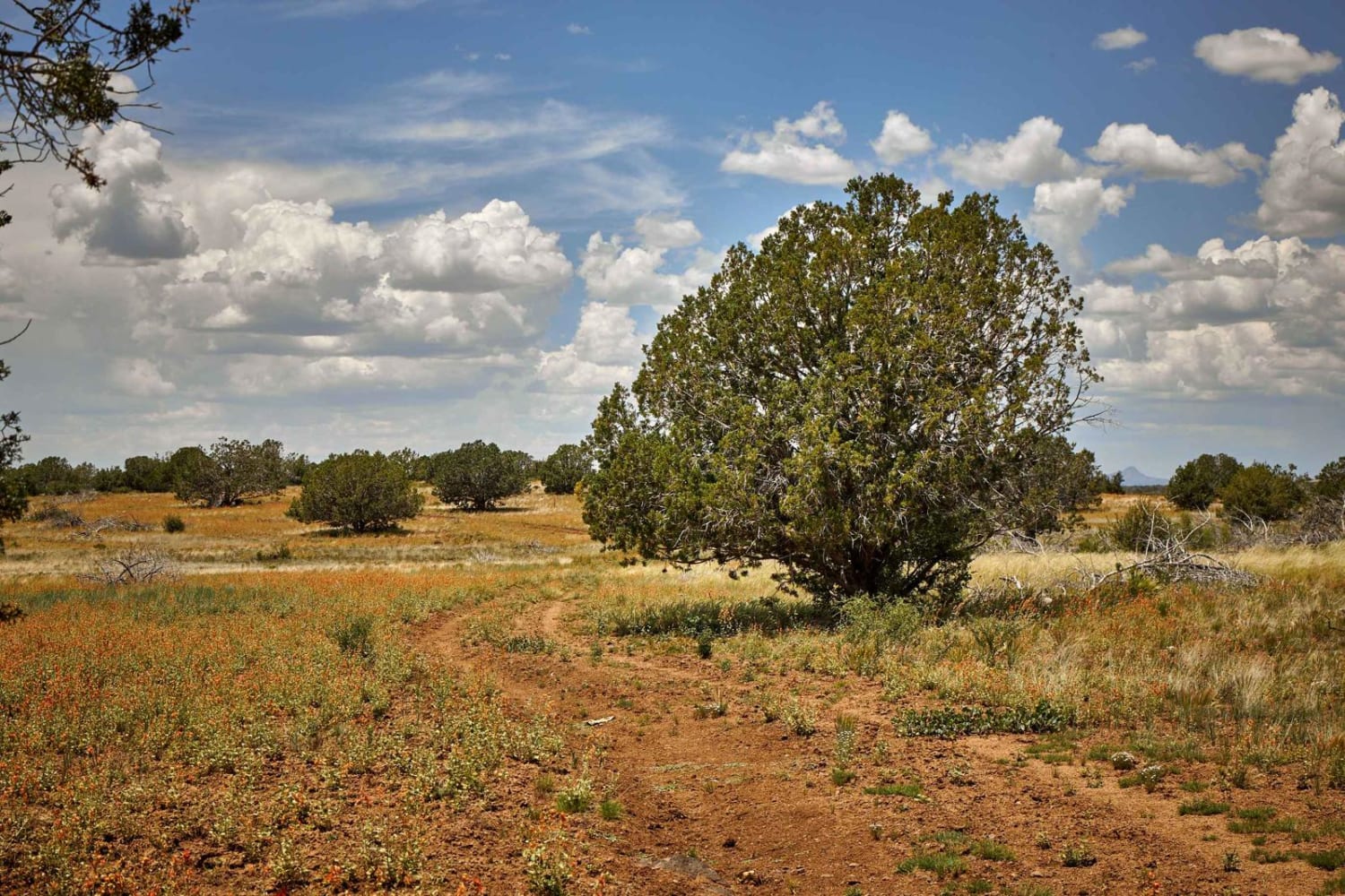
Trail Overview
Explore the foothills of the Hualapai Mountains from Kingman to Walnut Canyon. This is an interesting, but not spectacular, trail. We like it because it gives a tour of the area without rising into the narrower and scratchier trails higher up in the Hualapai Mountains. This one is rocky, but not very scratchy. We started the trail in Kingman but it can be done in either direction. Start this trail in downtown Kingman then follow the original Route 66 south out of town. Go under the railroad and travel up a wash and along some lightly traveled roads. Intersect a pipeline and follow along it through a higher, open country. This right of way has four individual pipelines. Nice views from the higher, open country. Pipelines go in straight lines so roads that follow them often have steep hills. This hill is a bit bouldery, but there is a bypass around the west side of the hill if needed. Continue following the pipeline and drop down into the lower country. The pipeline turns right and goes out on a flatter route somewhat beyond the foothills.
Photos of Hualapai Foothills

Difficulty
Uneven, rutted dirt trail with loose rocks, sand, erosion, and washes. Potential water crossings up to 18" deep, mud holes, and obstacles up to 2 feet, including ledges and short, steep grades.
Popular Trails
Elbow Canyon Road-Mohave County 229 (BLM1042)

Golden Gate Mine Trail

Sullivan Ridge
The onX Offroad Difference
onX Offroad combines trail photos, descriptions, difficulty ratings, width restrictions, seasonality, and more in a user-friendly interface. Available on all devices, with offline access and full compatibility with CarPlay and Android Auto. Discover what you’re missing today!