Sullivan Ridge
Total Miles
3.7
Technical Rating
Best Time
Spring, Fall, Winter
Trail Type
Full-Width Road
Accessible By
Trail Overview
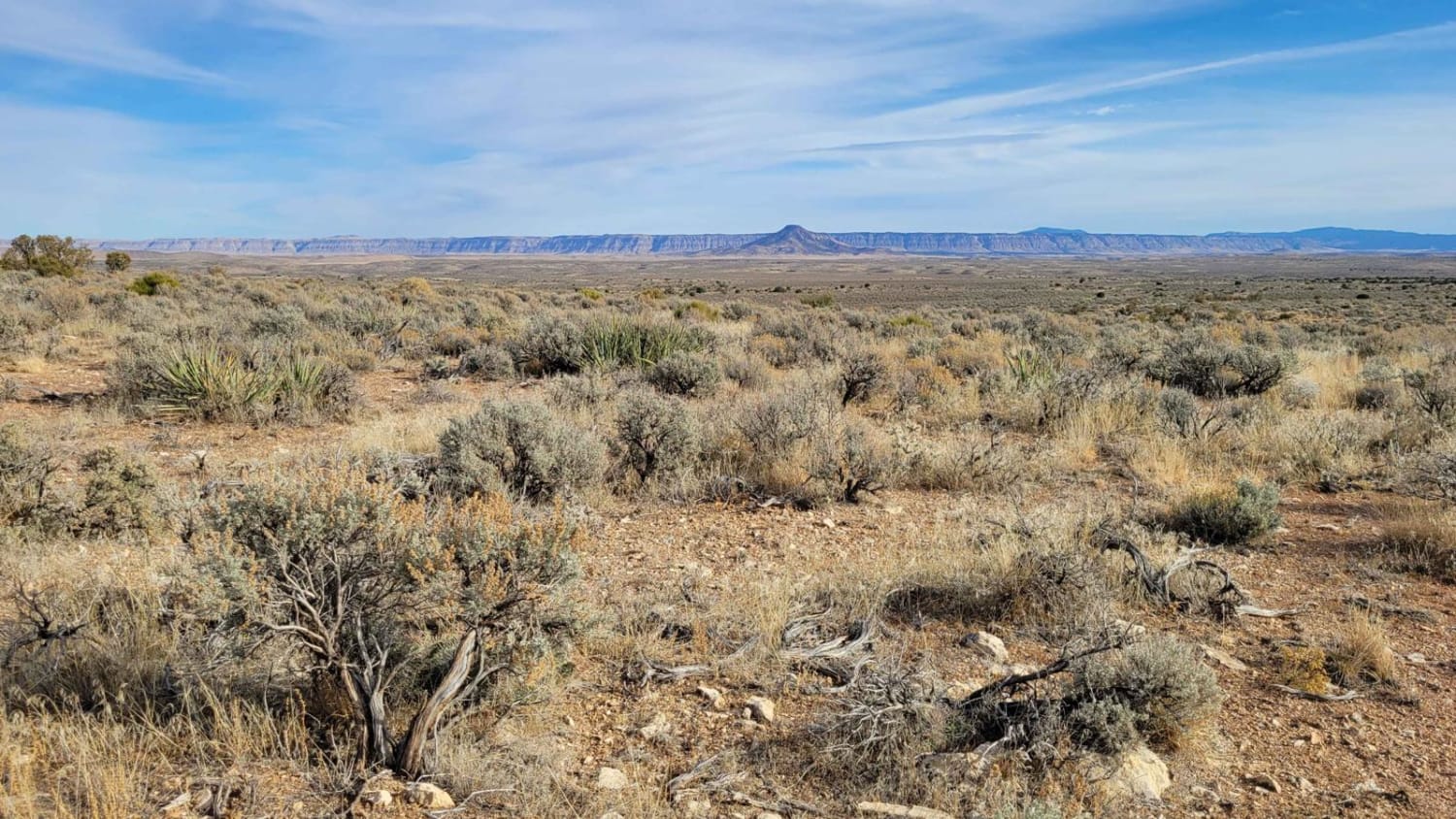
On the map, Sullivan Ridge appears to be an out-and-back trail. Upon reaching the end of this recording, tire tracks continue beyond; it is unclear where the trail/tracks lead. Sullivan Ridge is a two-track trail that weaves along the plateau top with sweeping and expansive views of the surrounding area. There are no trail markers or indicators present. You will encounter rocky patches throughout the trail. In a couple of places, the trail almost vanishes in the grass and can be harder to spot. Although there appear to be no fire rings for campsites, there are a couple of spots that could work as a place to park. The trail crosses a cattle guard; livestock are free-roaming and can be on the trail so be on the lookout. The Arizona Strip is incredibly remote with no service and hardly any visitors. Summer months will reach triple-digit temperatures and freezing temperatures in the winter months. Be prepared when venturing out here.
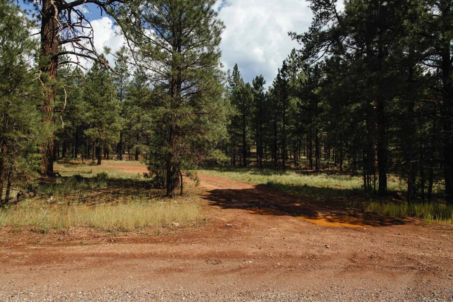
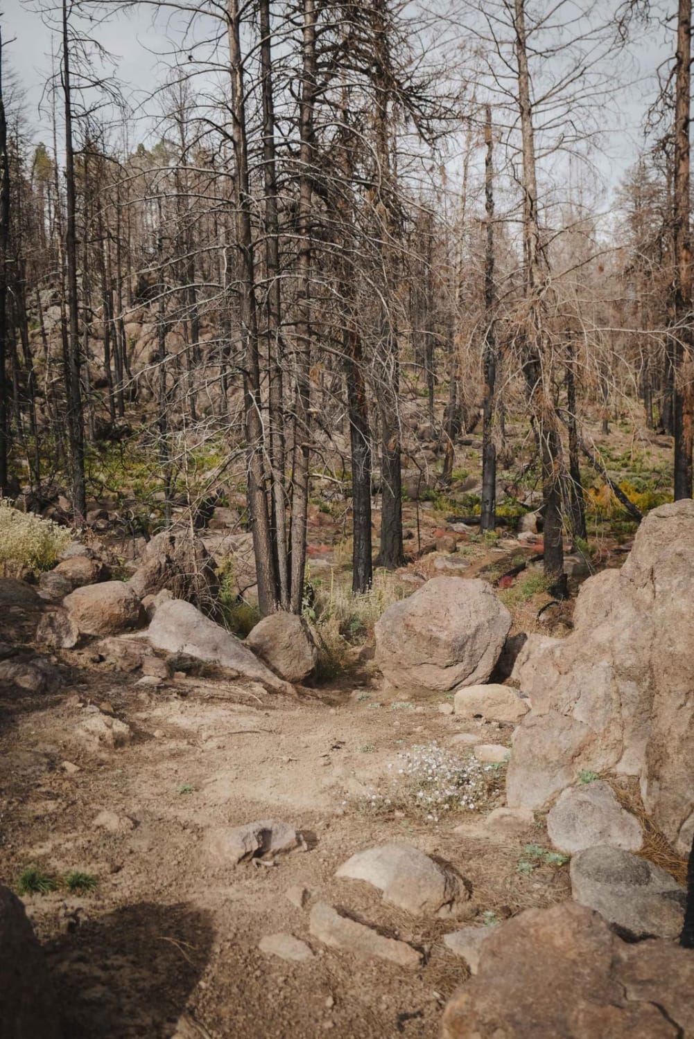
Photos of Sullivan Ridge
Difficulty
The trail is a one vehicle two-track with rocky patches throughout the trail. In a couple of places, the trail almost vanishes in the grass and can be harder to spot.
Status Reports
Sullivan Ridge can be accessed by the following ride types:
- High-Clearance 4x4
- SUV
- SxS (60")
- ATV (50")
- Dirt Bike
Sullivan Ridge Map
Popular Trails

X Marks the Spot from Linda Mine

Metal Masher Boulder Wash Spur
The onX Offroad Difference
onX Offroad combines trail photos, descriptions, difficulty ratings, width restrictions, seasonality, and more in a user-friendly interface. Available on all devices, with offline access and full compatibility with CarPlay and Android Auto. Discover what you’re missing today!


