Long Route to Bouleau Lake
Total Kilometers
20.6
Technical Rating
Best Time
Spring, Summer, Fall
Trail Type
Full-Width Road
Accessible By
Trail Overview
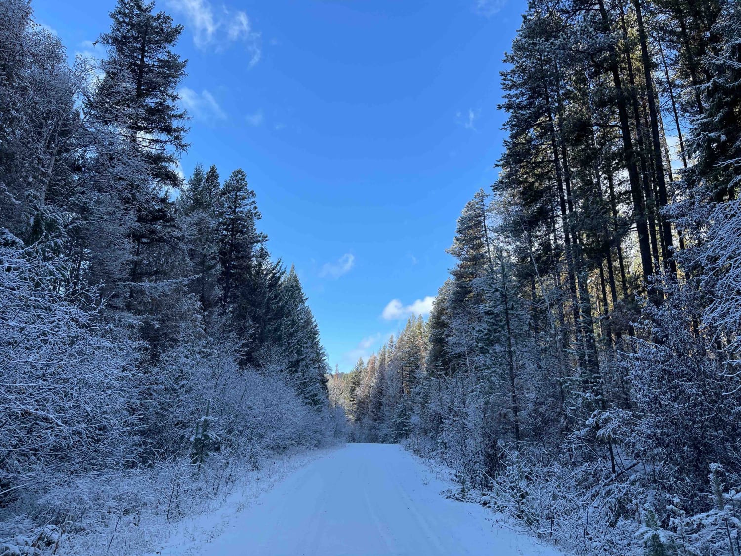
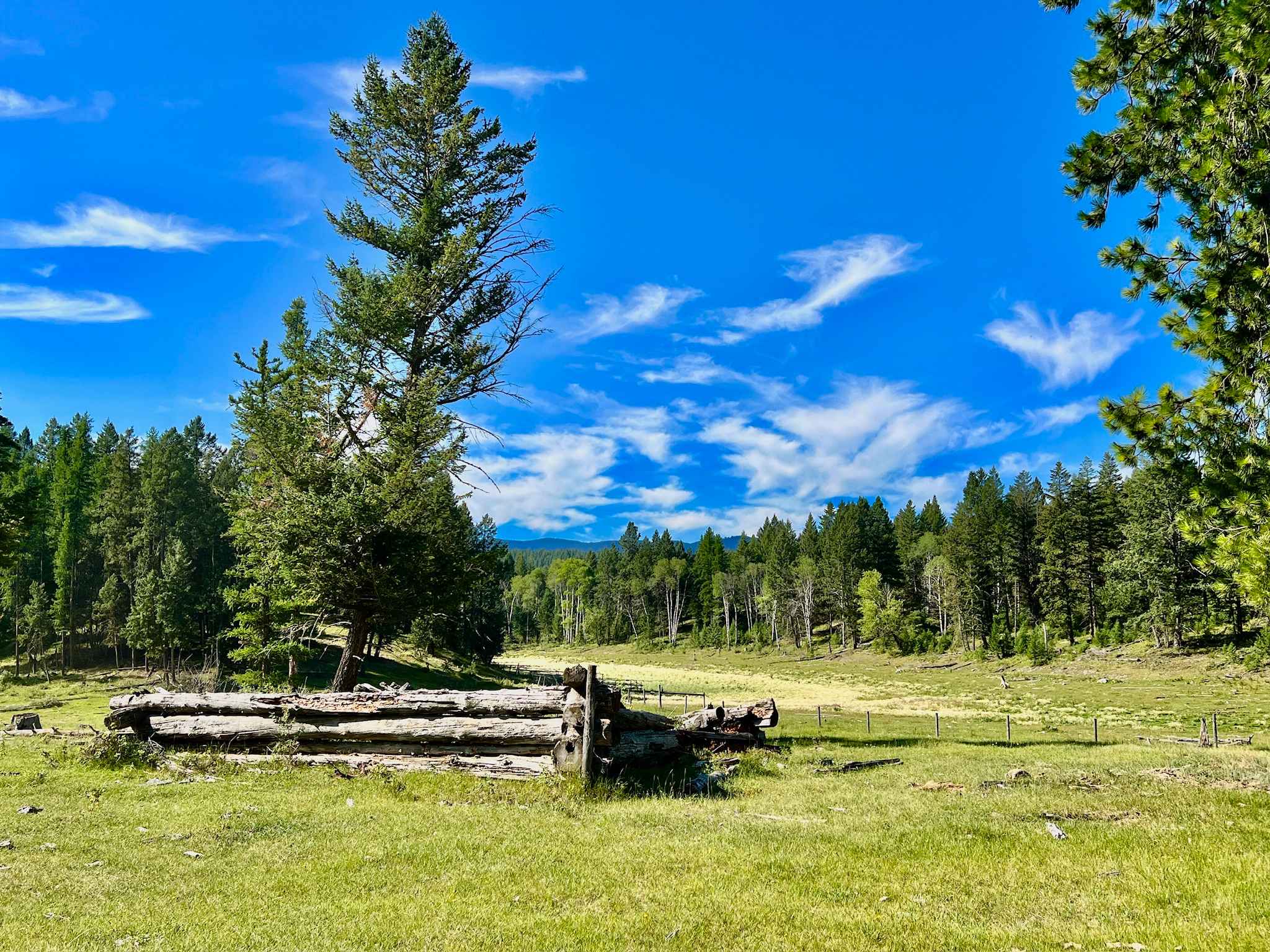
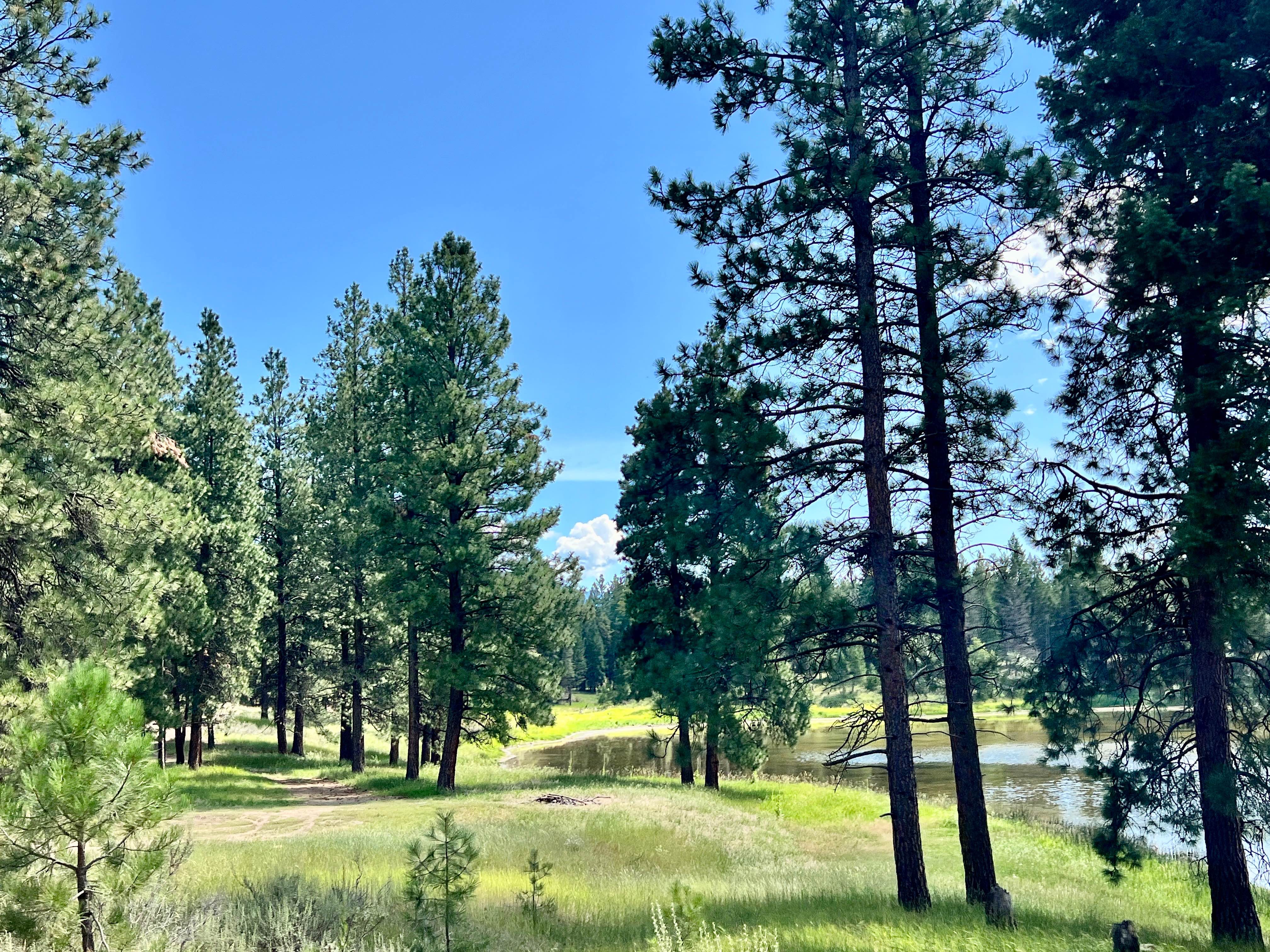
There are two routes to get to the Bouleau Lake Rec site. This route is the long way that navigates through the small valleys and creeks with some high elevation sections and steep terrain in various locations. The route is about 70km long one way, so it can take a while to get there. It is a scenic route but the area was ravaged by wildfires this past summer 2021. Multiple sections of the forest have been burnt to the ground and remnants of old buildings, shacks along the way are long gone. There are a few ranches along the route. Wasn't able to make it to the lake on this attempt as the snow was building up and the conditions were extremely icy. With only one truck and no others along for the ride, the best decision was to turn around. Will have to come back in the summer and finish the journey.
Photos of Long Route to Bouleau Lake
Difficulty
Most of the road is not technical but the further you go the worse the conditions of the road become. Heavy rutting and significant potholes along the way with very steep sections that drop to the valley floor. Car not recommended but SUVs are capable of making the trip
Status Reports
Long Route to Bouleau Lake can be accessed by the following ride types:
- High-Clearance 4x4
- SUV
- SxS (60")
- ATV (50")
- Dirt Bike
Long Route to Bouleau Lake Map
Popular Trails
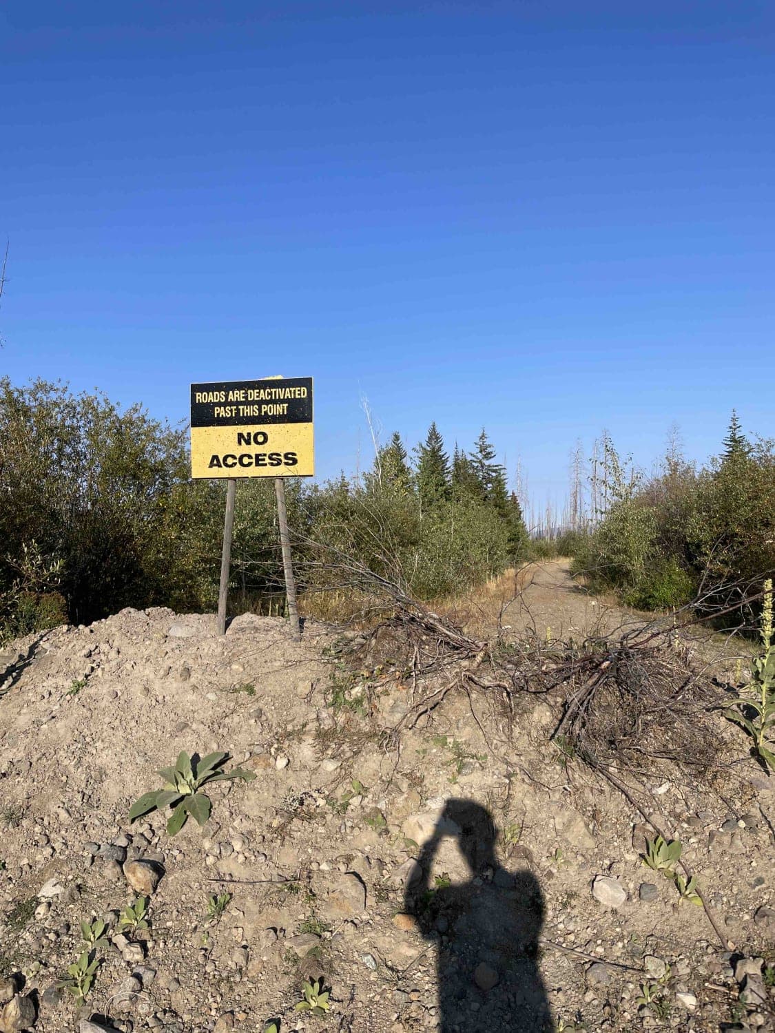
Uh Oh No Go
Jamieson Creek Road to Whitewood Rec Site
Mud Lake Loop
The onX Offroad Difference
onX Offroad combines trail photos, descriptions, difficulty ratings, width restrictions, seasonality, and more in a user-friendly interface. Available on all devices, with offline access and full compatibility with CarPlay and Android Auto. Discover what you’re missing today!
