Missing Link
Total Kilometers
7.8
Elevation
124.05 m
Duration
2.5 Hours
Technical Rating
Best Time
Summer, Fall
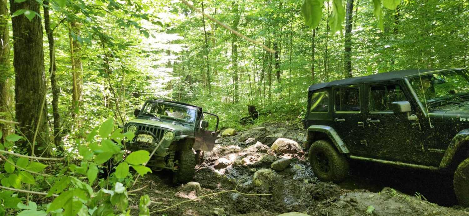
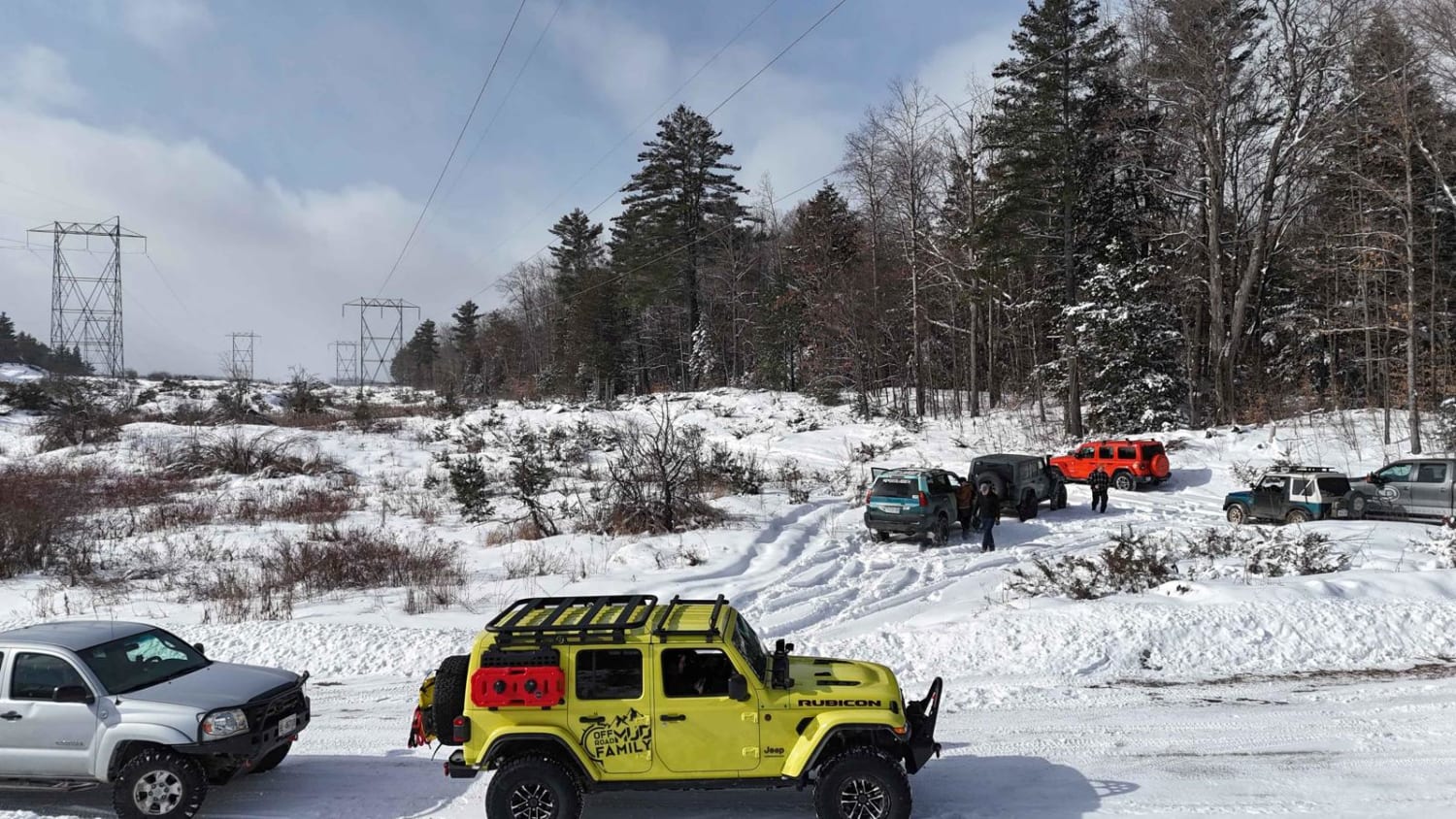
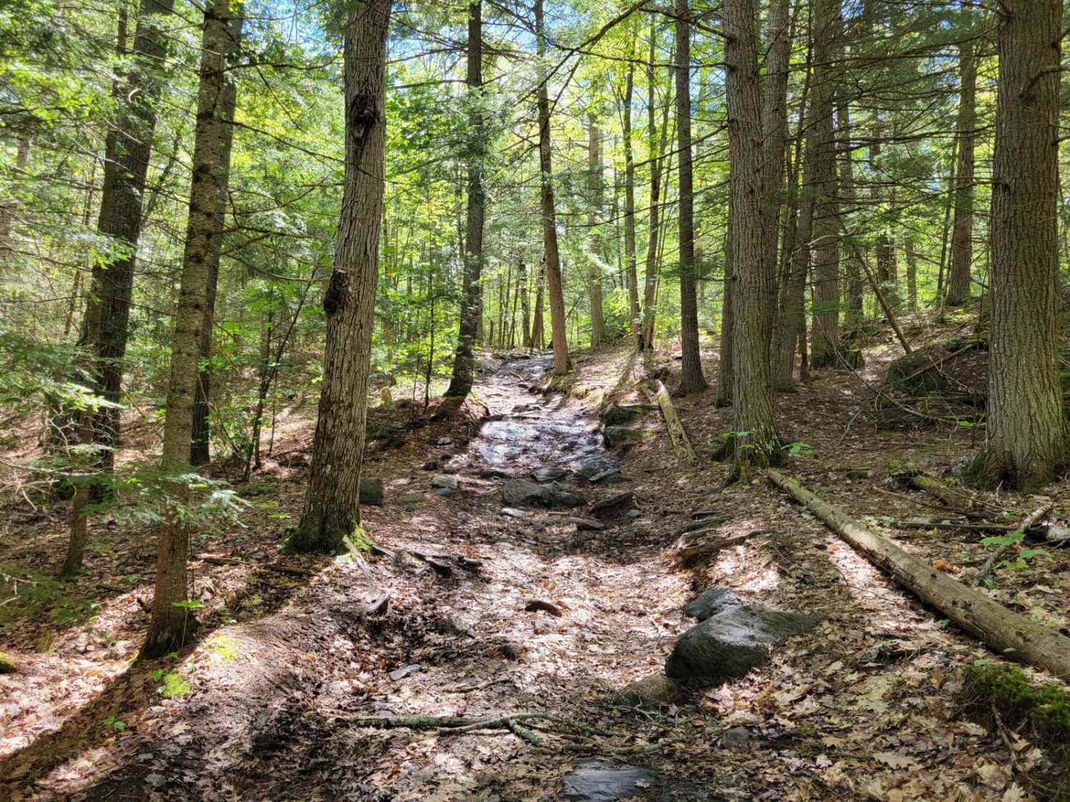
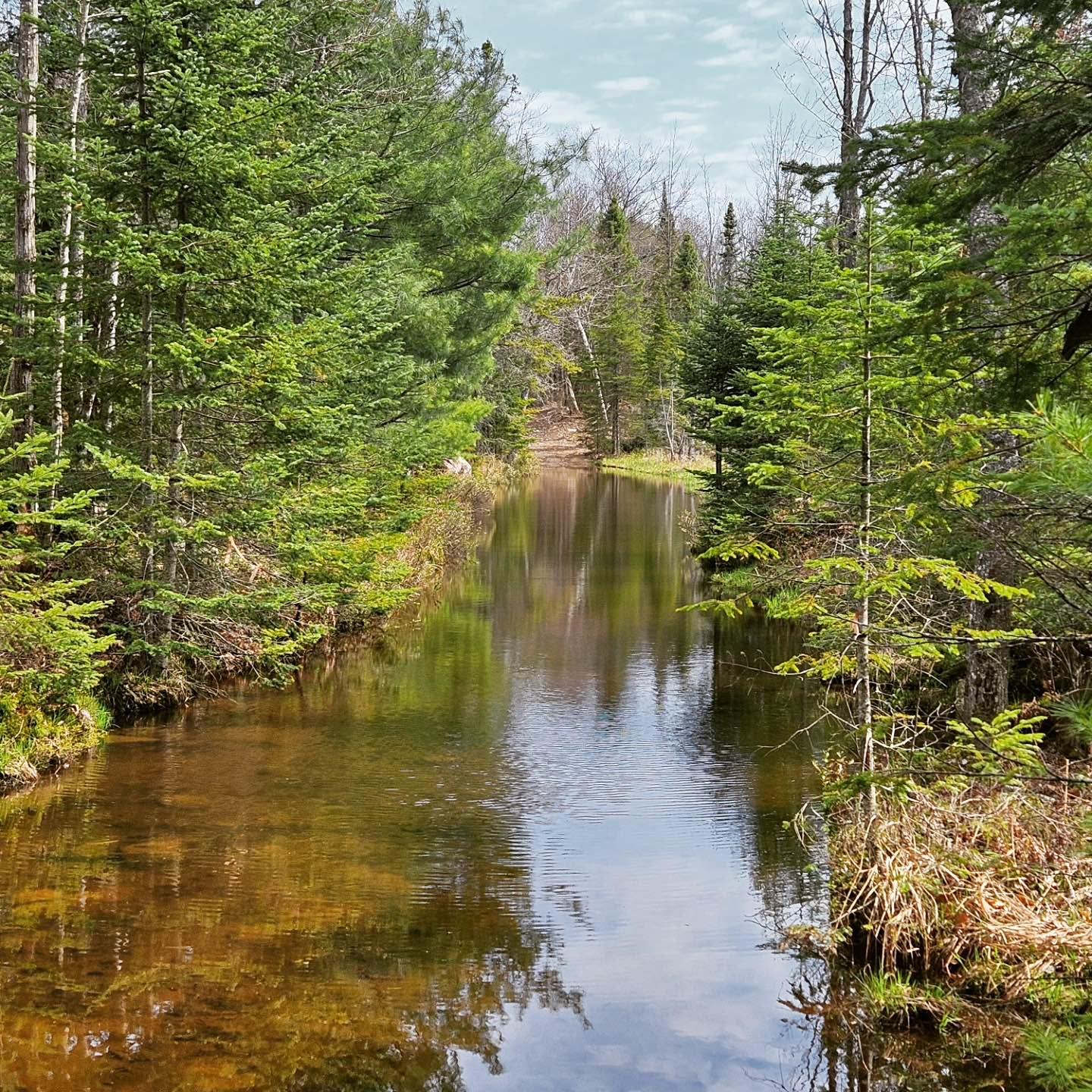
Trail Overview
The trail is a medium-difficulty rocky trail through a crown land forest area. The trail includes lots of hard bottom "mud puddles" typically less than 20" deep. There are two challenging obstacles on the trail which set the difficulty of the trail. The first, when traveling SE to NW direction is a steep uphill climb with a medicine ball-sized rock garden packed with intermittent mud. In wet conditions, this section can prove to be very challenging even with lockers and moderately built rigs (35" tires, 4" lift). Descending this section is much easier. There is an alternate route on the trail which provides another difficult 3' tall rock obstacle. The second challenging section is a "corduroy" section where logs have been used to cover a deep mud section. However, this is meant for snowmobiles in the winter and does not provide enough support for off-road vehicles to transverse. There are two bypasses on either side of the trail that are moderately tight between trees, but still passable with 4 door Jeeps.
Photos of Missing Link

Difficulty
Some rock ledges are 2- 3 feet tall, and a quite challenging mud-laced rock garden on an uphill climb that requires very keen line choice and momentum to climb. Lots of smaller water crossings (hard-bottomed) up to 20" deep in spots.
Status Reports
Popular Trails
Missing Link
Darling Power Line
Quinn Loop Backdoor Trail
The onX Offroad Difference
onX Offroad combines trail photos, descriptions, difficulty ratings, width restrictions, seasonality, and more in a user-friendly interface. Available on all devices, with offline access and full compatibility with CarPlay and Android Auto. Discover what you’re missing today!