Off-Road Trails in Ontario
Discover off-road trails in Ontario
Learn more about Tribag Mine Alternate Route (Carp Road)
Tribag Mine Alternate Route (Carp Road)
Total Miles
2.2
Tech Rating
Easy
Best Time
Spring, Summer, Fall
Learn more about Airport Run
Airport Run
Total Miles
1.7
Tech Rating
Easy
Best Time
Summer, Spring, Fall, Winter
Learn more about Batchawana Falls Road
Batchawana Falls Road
Total Miles
1.5
Tech Rating
Easy
Best Time
Spring, Summer, Fall
Learn more about Batchawana Falls Road - Northern Section
Batchawana Falls Road - Northern Section
Total Miles
4.6
Tech Rating
Moderate
Best Time
Spring, Summer, Fall, Winter
Learn more about Black Edge Waterfall
Black Edge Waterfall
Total Miles
1.9
Tech Rating
Easy
Best Time
Spring, Summer, Fall, Winter
Learn more about Busted Bridge Boulevard
Busted Bridge Boulevard
Total Miles
23.1
Tech Rating
Moderate
Best Time
Summer, Fall, Spring
Learn more about Concession Lake
Concession Lake
Total Miles
5.7
Tech Rating
Moderate
Best Time
Spring, Summer, Fall
Learn more about County Road 20
County Road 20
Total Miles
2.9
Tech Rating
Best Time
Spring, Summer, Fall, Winter
Learn more about Creemore Run
Creemore Run
Total Miles
5.5
Tech Rating
Easy
Best Time
Summer, Spring, Fall, Winter
Learn more about Expedition Trail
Expedition Trail
Total Miles
0.7
Tech Rating
Easy
Best Time
Spring, Summer, Fall
Learn more about Fifth Line Run
Fifth Line Run
Total Miles
2.5
Tech Rating
Easy
Best Time
Spring, Summer, Fall, Winter
Learn more about Green Mountain Trail
Green Mountain Trail
Total Miles
28.2
Tech Rating
Difficult
Best Time
Summer, Spring, Fall
Learn more about Highline Highway (Mile 38 Road) 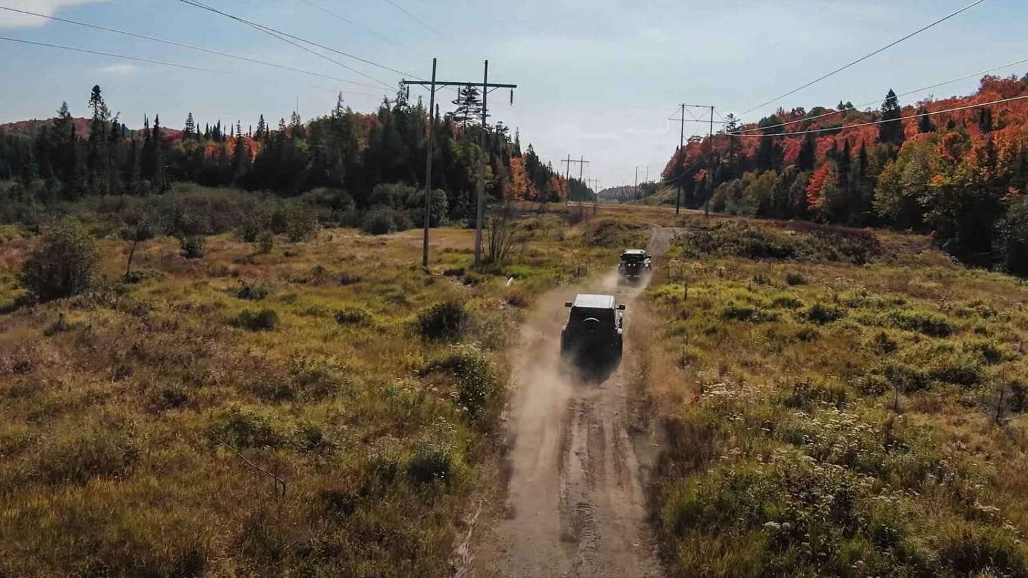
Highline Highway (Mile 38 Road)
Total Miles
27.4
Tech Rating
Moderate
Best Time
Summer, Spring, Fall
Learn more about Hysert Crossroad
Hysert Crossroad
Total Miles
1.3
Tech Rating
Easy
Best Time
Winter, Fall, Summer, Spring
Learn more about Kelly Lake Trail
Kelly Lake Trail
Total Miles
4.1
Tech Rating
Moderate
Best Time
Summer, Fall

Learn more about North Carp Lake Road (Tribag mine Alternate)
North Carp Lake Road (Tribag mine Alternate)
Total Miles
2.6
Tech Rating
Easy
Best Time
Fall
ATV trails in Ontario
Learn more about Tribag Mine Alternate Route (Carp Road)
Tribag Mine Alternate Route (Carp Road)
Total Miles
2.2
Tech Rating
Easy
Best Time
Spring, Summer, Fall
Learn more about Airport Run
Airport Run
Total Miles
1.7
Tech Rating
Easy
Best Time
Summer, Spring, Fall, Winter
Learn more about Batchawana Falls Road
Batchawana Falls Road
Total Miles
1.5
Tech Rating
Easy
Best Time
Spring, Summer, Fall
UTV/side-by-side trails in Ontario
Learn more about Tribag Mine Alternate Route (Carp Road)
Tribag Mine Alternate Route (Carp Road)
Total Miles
2.2
Tech Rating
Easy
Best Time
Spring, Summer, Fall
Learn more about Airport Run
Airport Run
Total Miles
1.7
Tech Rating
Easy
Best Time
Summer, Spring, Fall, Winter
Learn more about Batchawana Falls Road
Batchawana Falls Road
Total Miles
1.5
Tech Rating
Easy
Best Time
Spring, Summer, Fall
The onX Offroad Difference
onX Offroad combines trail photos, descriptions, difficulty ratings, width restrictions, seasonality, and more in a user-friendly interface. Available on all devices, with offline access and full compatibility with CarPlay and Android Auto. Discover what you’re missing today!