Washout Way
Total Kilometers
9.3
Elevation
149.55 m
Duration
1.25 Hours
Technical Rating
Best Time
Summer, Fall
Trail Overview
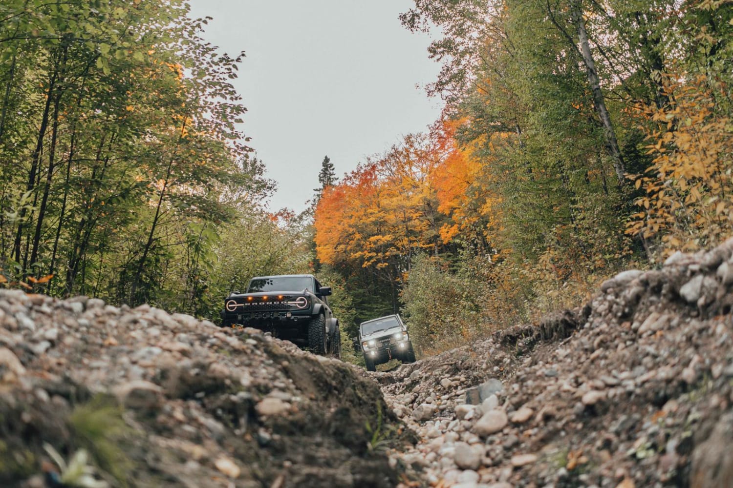
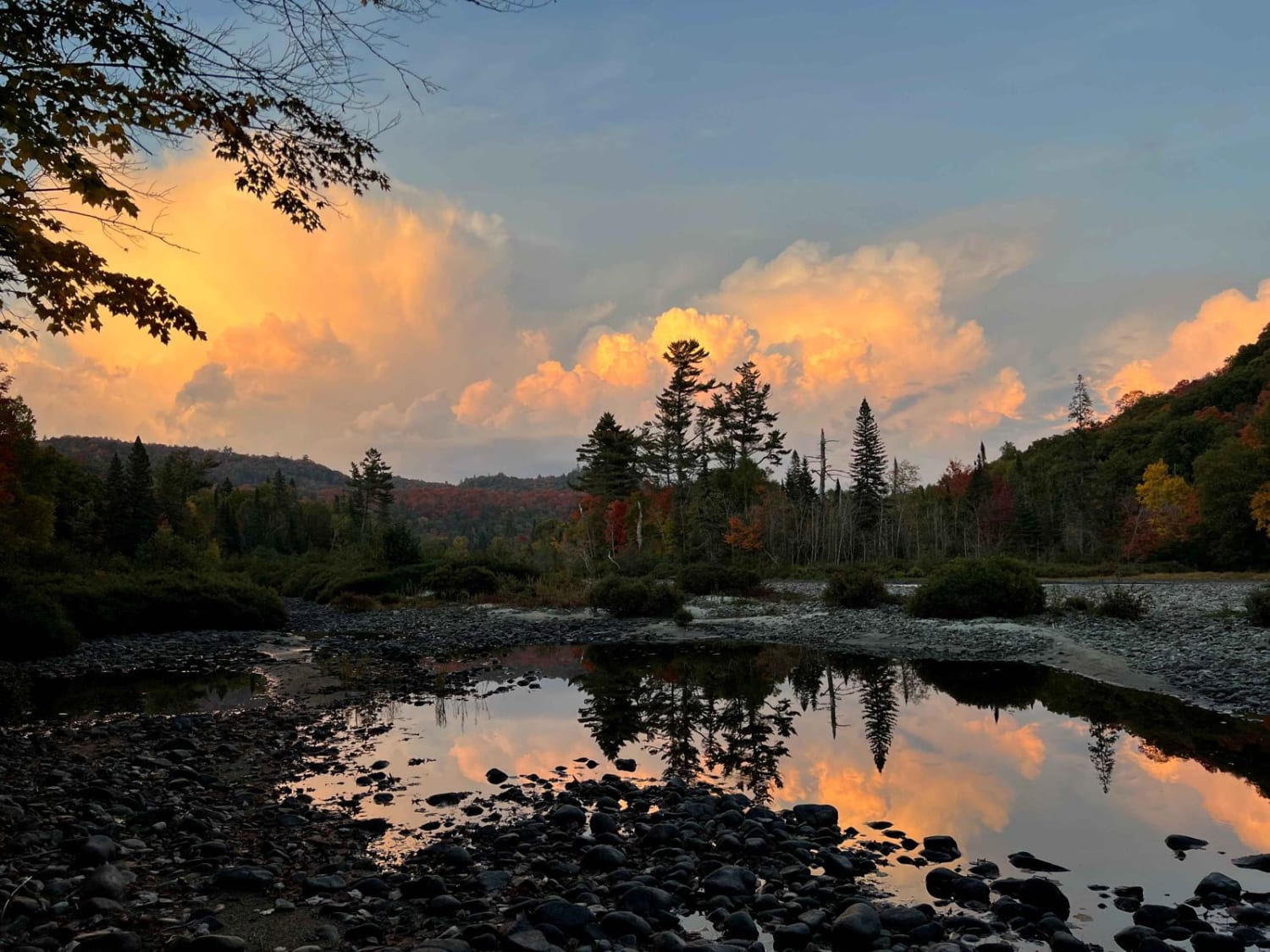
This is a rough and rocky gravel road that compresses down into a narrow two-track as you turn off to follow the Batchawana River. "Washout Way" comes from a section of trail with a deep washout. Try your luck and straddle it, or run along the side until you are forced to cross it. This route ends on the banks of the river with spots to make camp, but the trail itself continues on for tomorrow's adventure.
Photos of Washout Way
Difficulty
Use caution to maintain traction near the washouts. A spotter can be helpful in these areas, as the holes are deep and will certainly hang up on your frame should you slide off the trail. Some uneven sections will test your articulation. The trail can be slick after heavy rain.
Status Reports
Popular Trails
Gooderham
Rudy-Vera Memorial Trail

Airport Run
Black Edge Waterfall
The onX Offroad Difference
onX Offroad combines trail photos, descriptions, difficulty ratings, width restrictions, seasonality, and more in a user-friendly interface. Available on all devices, with offline access and full compatibility with CarPlay and Android Auto. Discover what you’re missing today!
