Road 8230
Total Miles
8.8
Elevation
360.69 ft
Duration
1 Hours
Technical Rating
Best Time
Spring, Summer, Fall
Trail Overview
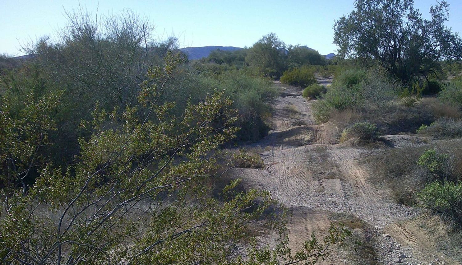
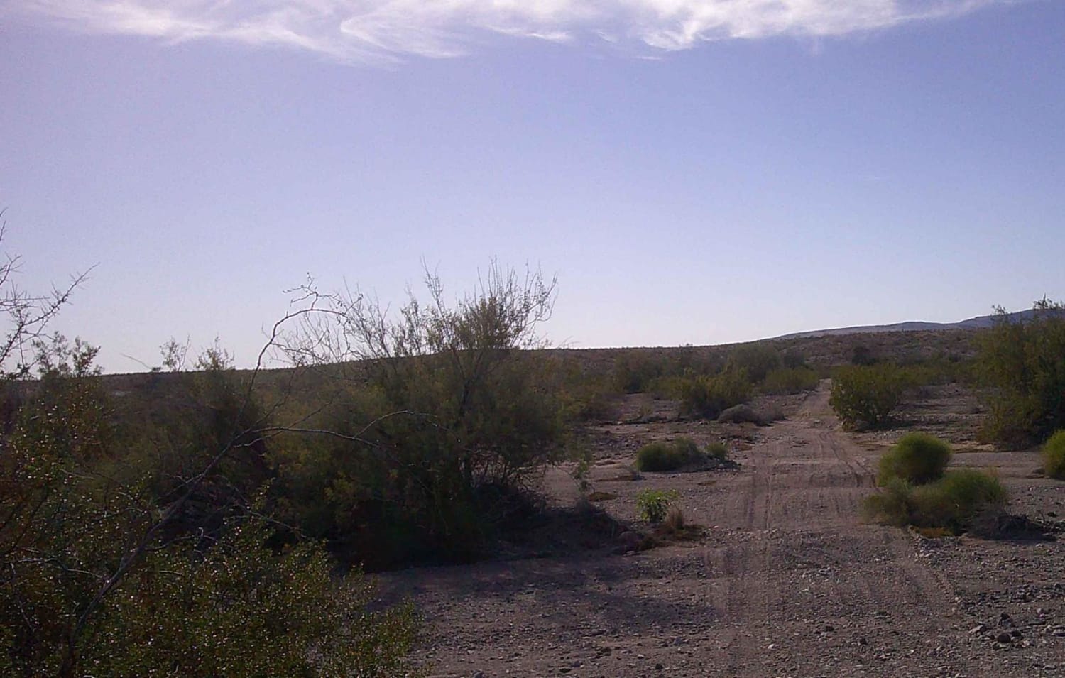
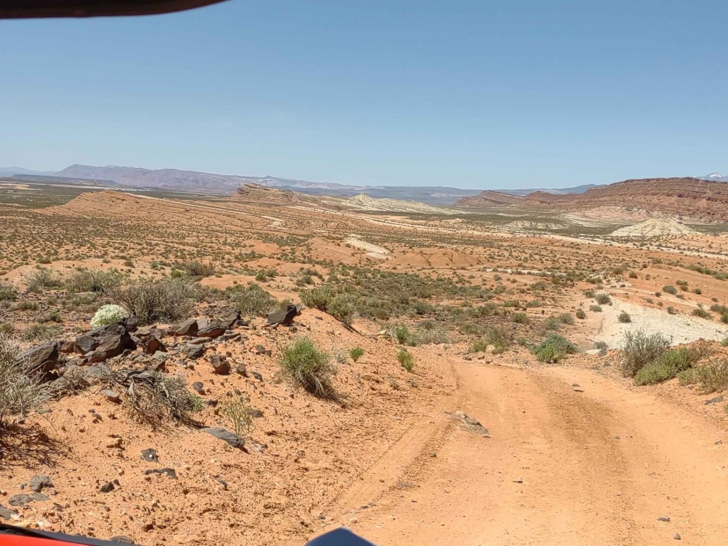
Road #8230 is a multi-mixed surface road with rocks, sand, and gravel, most of this road runs through a wash, the sand can be deep in areas, and these spots are prone to flash floods, do not attempt during rainy seasons. Some sections of this road are rutted and rocky. The road runs through the Bureau of Land Management property.
Photos of Road 8230
Difficulty
There are sections of this road are rocky and rutted.
Status Reports
Popular Trails
Jacobs Well to Brumley Well (County 101)
Dodging Junipers

Cave Mine Mountain Site
Dutchman Draw #2022
The onX Offroad Difference
onX Offroad combines trail photos, descriptions, difficulty ratings, width restrictions, seasonality, and more in a user-friendly interface. Available on all devices, with offline access and full compatibility with CarPlay and Android Auto. Discover what you’re missing today!
