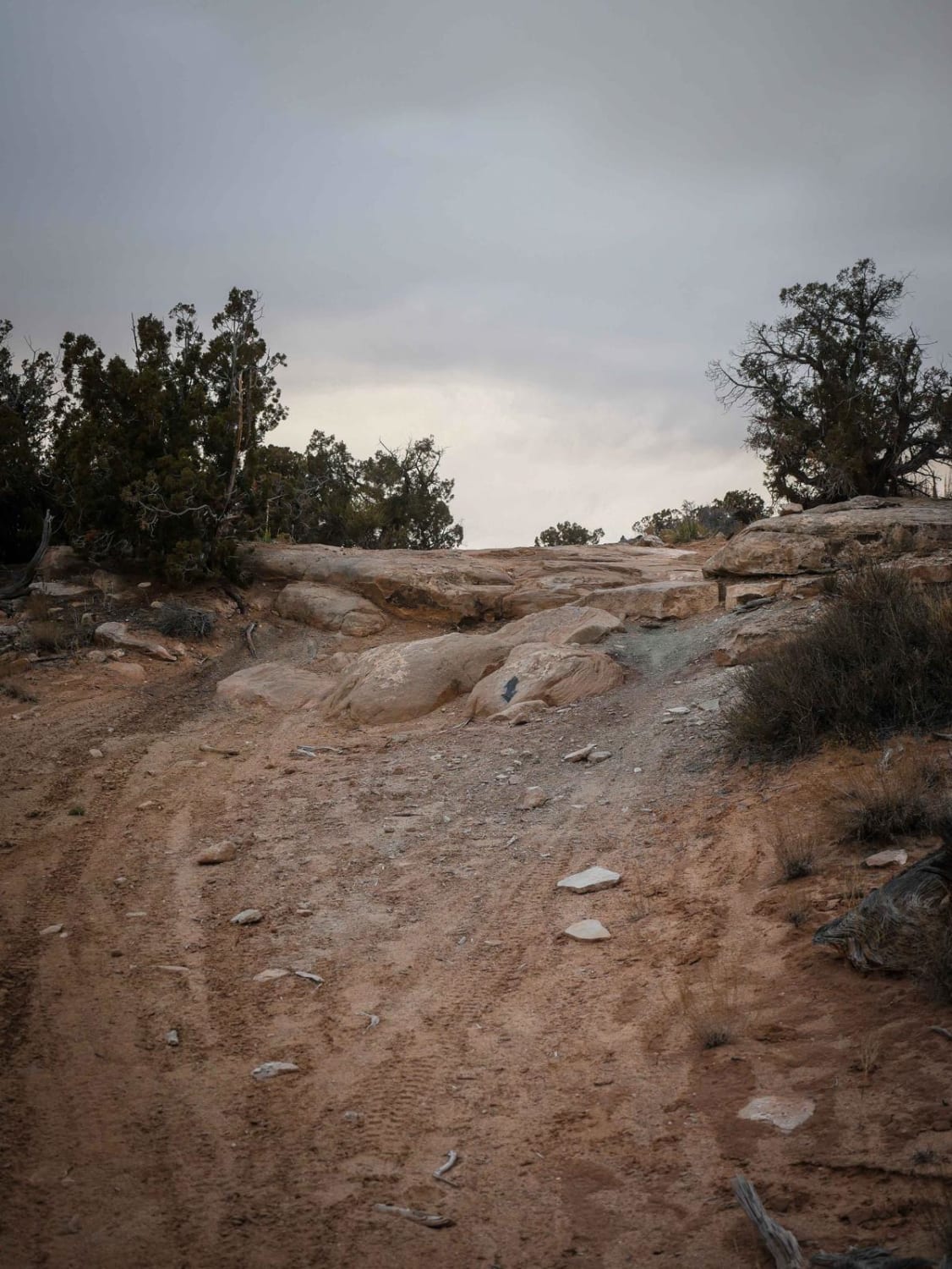
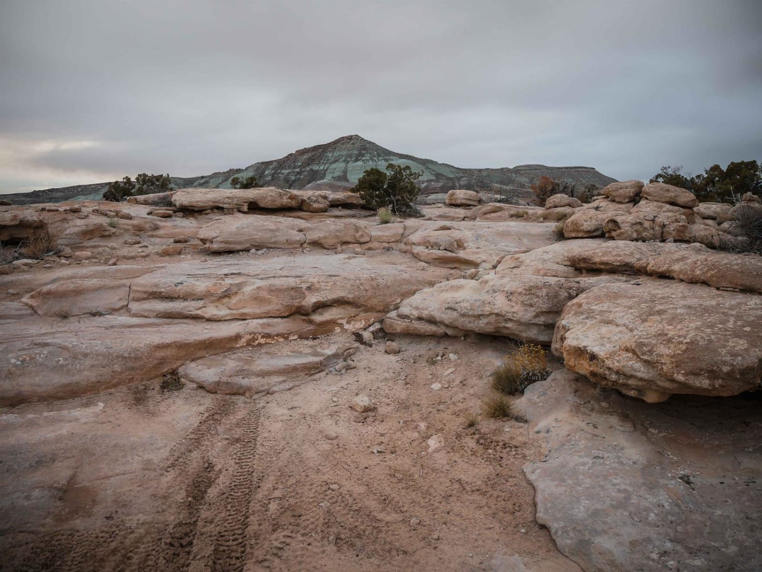
Motherload ATV Access Trail
Total Miles
0.5
Elevation
1,434.96 ft
Duration
0.5 Hours
Technical Rating
Best Time
Spring, Winter, Fall
Trail Overview
This is an ATV trail open to vehicles 52 inches or less in the Sovereign Trail System. This one is an intermediate desert trail that accesses the Motherload ATV Trail. It's a wide trail on a mix of dirt and slab rock. It goes over features such as dips in the slickrock, moderate rock ledges, and tight turns. It goes through sagebrush and pinyon pine and next to huge boulders on top of the mesa. It's pretty easy to follow the whole way and has blue paint markings on the slab to help follow it. It's marked as Most Difficult in the system, because of the rock ledges that would be difficult for an ATV. A dirt bike could pick its line better through the ledges. This is an access trail to the Motherload ATV Trail, which is a similar difficulty.
Photos of Motherload ATV Access Trail
Difficulty
This is an intermediate trail with significant rock ledges that would be even more difficult for an ATV, but is rated 5 for dirt bikes.
Status Reports
Popular Trails
West Mountain Peak Road
The Ugly, The Bad, and The Good (FS 40630/Dry Hollow/Trail ID 70)
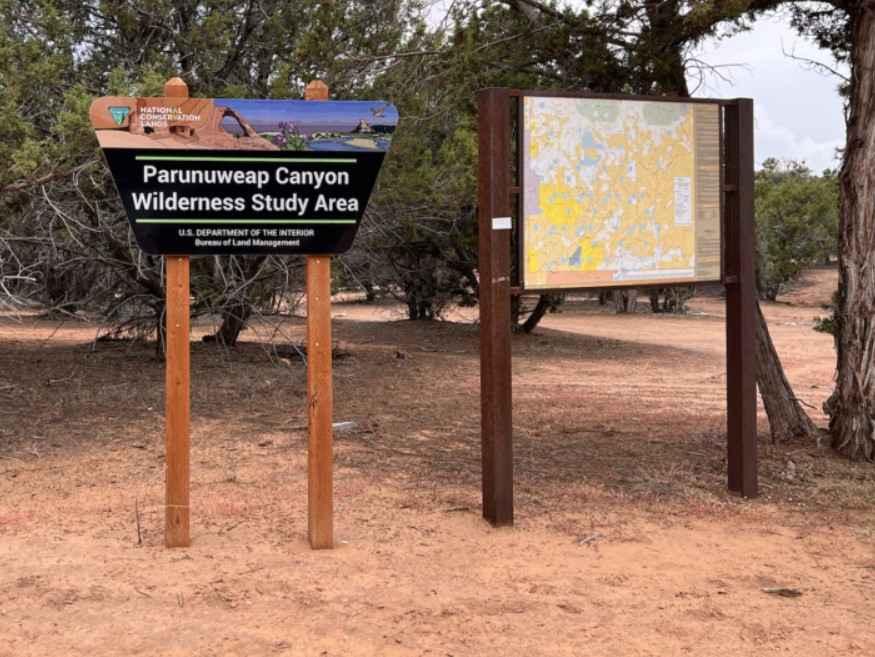
Harris Mountain-BLM28-KC1400
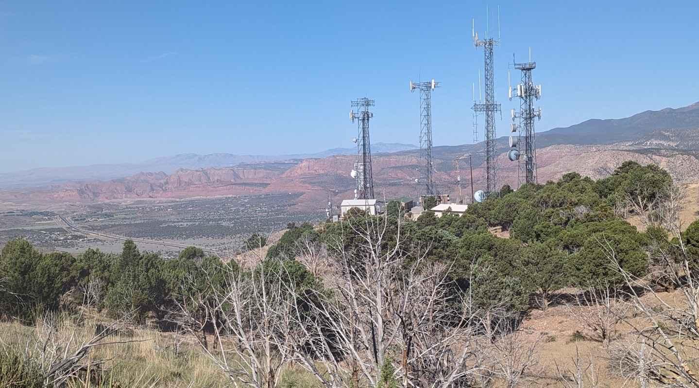
Toquerville Communication Towers Overlook
The onX Offroad Difference
onX Offroad combines trail photos, descriptions, difficulty ratings, width restrictions, seasonality, and more in a user-friendly interface. Available on all devices, with offline access and full compatibility with CarPlay and Android Auto. Discover what you’re missing today!
