FS-576
Total Miles
7.8
Technical Rating
Best Time
Summer, Spring
Trail Type
Full-Width Road
Accessible By
Trail Overview
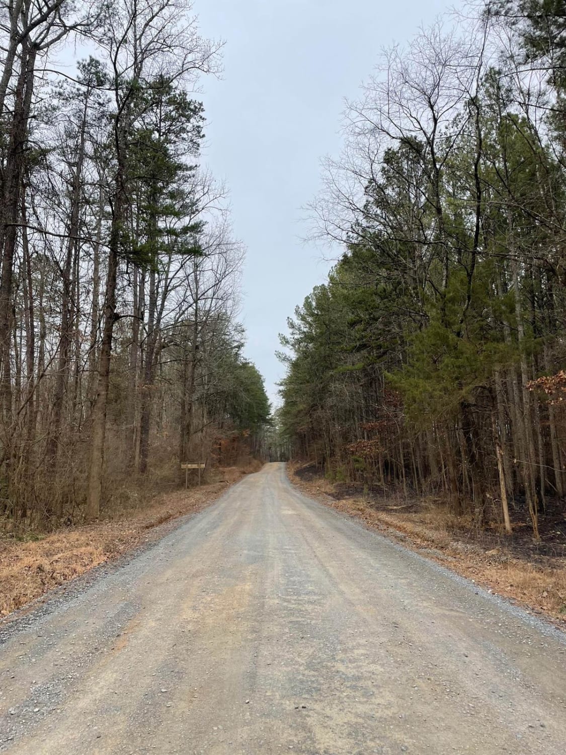
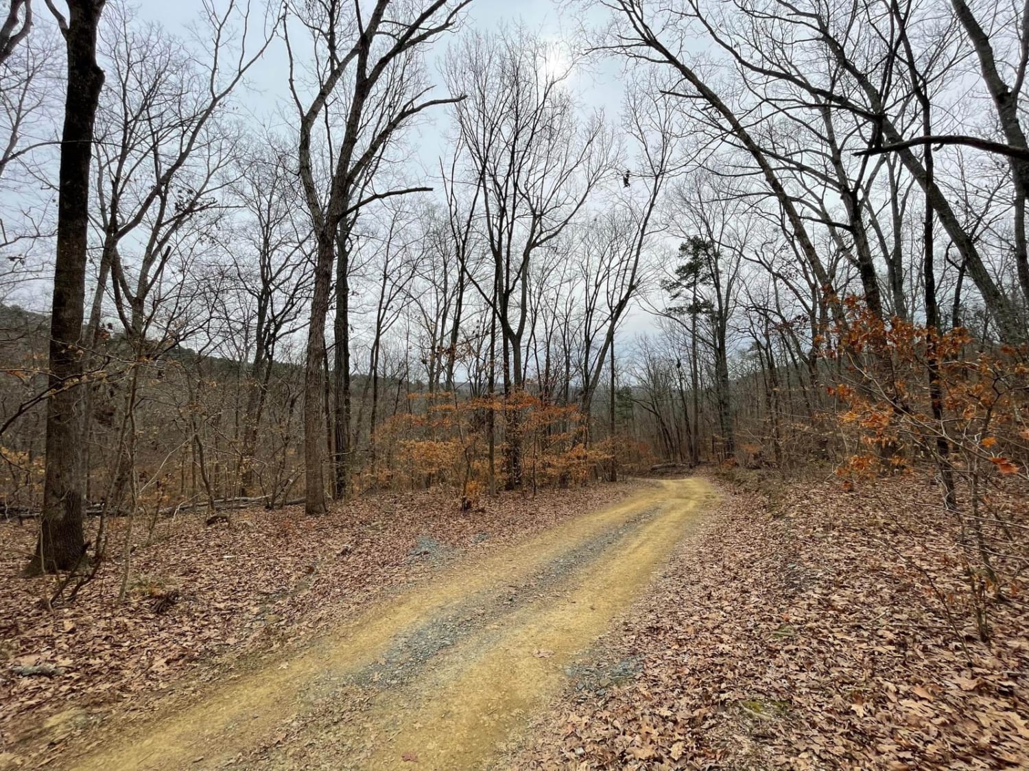
FS-576 in Uwharrie National Forest, also known as Moccasin Cir, is a gravel road that splits the National Forest from east to west and dead-ends at the Deep Woods camp area. Along the way, there are several primitive campsites just off the road. Some of them have stunning views of Badin Lake just south of the dam and the mountains in the area. At the end of the trail, the track goes from a groomed gravel road to a very rutted downhill portion of dirt trail that terminates at the water's edge. Although the ground is very uneven and difficult for vehicles with trailers to camp, many flat areas will support tent camping with very peaceful views of the lake.
Photos of FS-576
Difficulty
The trail is very easy until the rutted section at the very end of the track.
Status Reports
Popular Trails

Roses Creek - FS 210

South Core Banks - Back Road

Middle Road - Pocosin Lakes National Wildlife Refuge

Alligator River National Wildlife Refuge
The onX Offroad Difference
onX Offroad combines trail photos, descriptions, difficulty ratings, width restrictions, seasonality, and more in a user-friendly interface. Available on all devices, with offline access and full compatibility with CarPlay and Android Auto. Discover what you’re missing today!


