W50-A
Total Kilometers
4.6
Elevation
97.32 m
Duration
--
Technical Rating
Best Time
Spring, Summer, Fall
Trail Overview
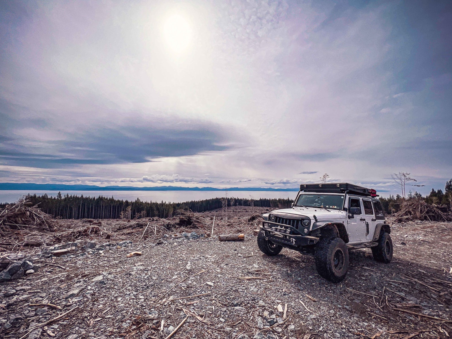
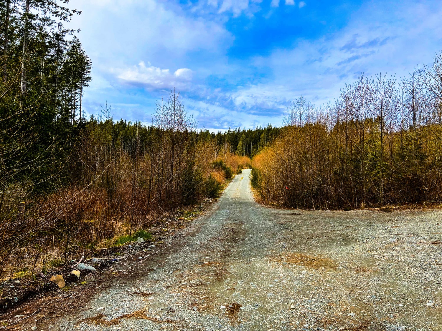
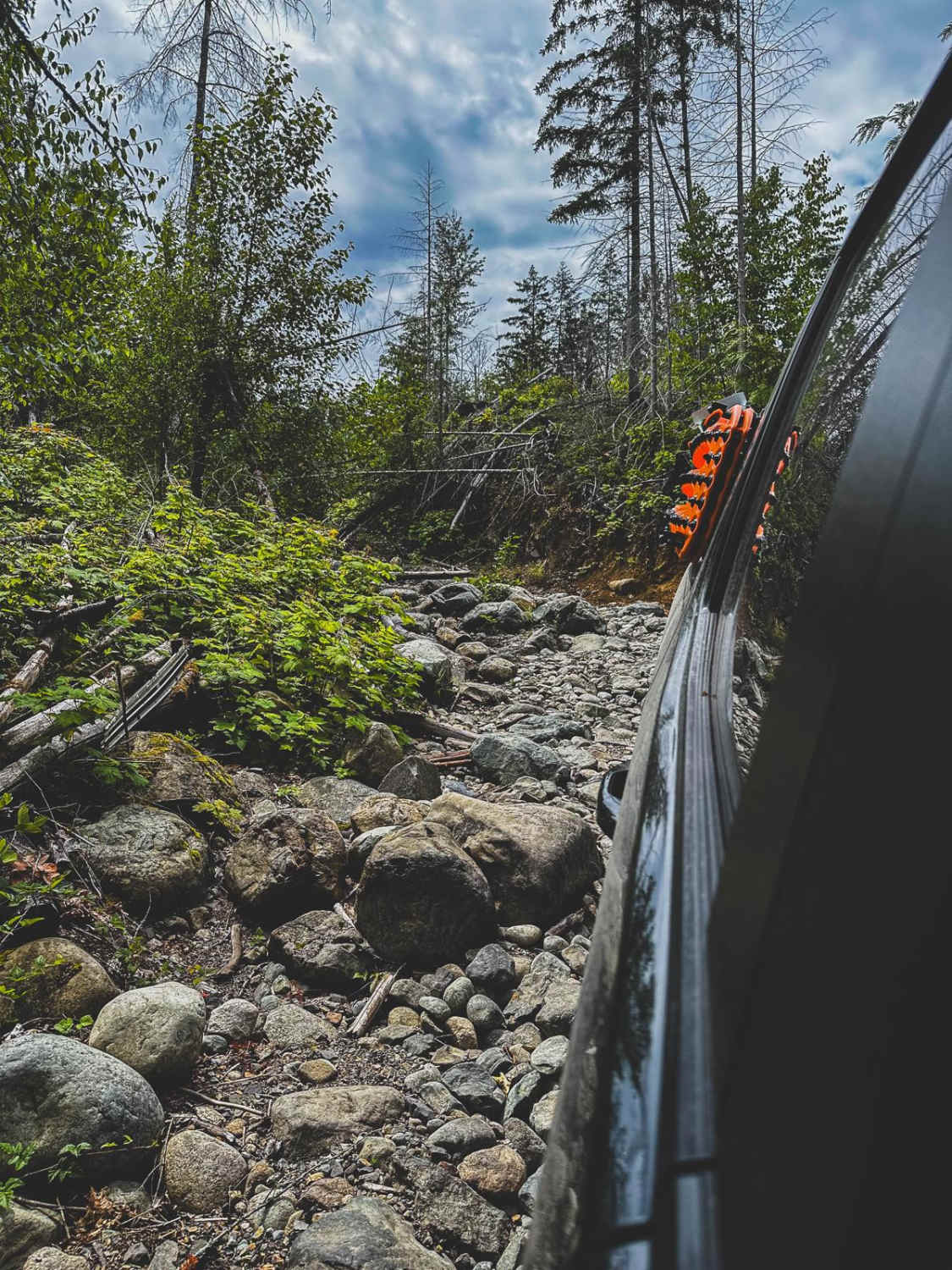
Just off Highway 14 (West Coast Road) along the coast of Vancouver Island are a number of logging roads. One of those roads is W40 which quickly leads to W50-A. W50-A is primarily dirt and gravel, with a few very deep and narrow ditches that cross the road and require high clearance to avoid scraping on the front or rear bumpers. The road has a few offshoots but ultimately dead-ends at the top. Though the view of the surrounding clear cut trees is not much to write home about, the view from the top where the road dead-ends provides a nice view of the Salish Sea and can make for a great place to overnight camp. There was a gate at the entrance, so it has the possibility of being closed and locked, and/or beware of it becoming locked after going in and camping.
Photos of W50-A
Difficulty
The road was pretty easy going, aside from a number of ditches that must be crossed and would be difficult without some higher clearance
Popular Trails
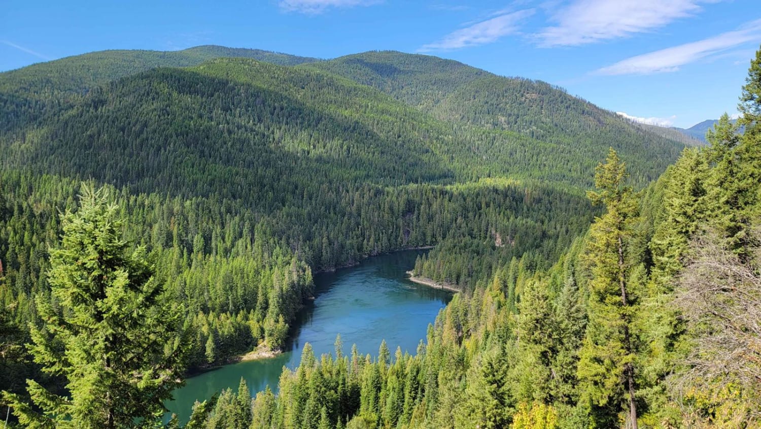
Pend-d'Oreille River
Hale Creek "The Hard Way"
Stewart Lake Road
The onX Offroad Difference
onX Offroad combines trail photos, descriptions, difficulty ratings, width restrictions, seasonality, and more in a user-friendly interface. Available on all devices, with offline access and full compatibility with CarPlay and Android Auto. Discover what you’re missing today!
