Mesa Connection
Total Miles
3.2
Technical Rating
Best Time
Spring, Summer, Fall
Trail Type
Full-Width Road
Accessible By
Trail Overview
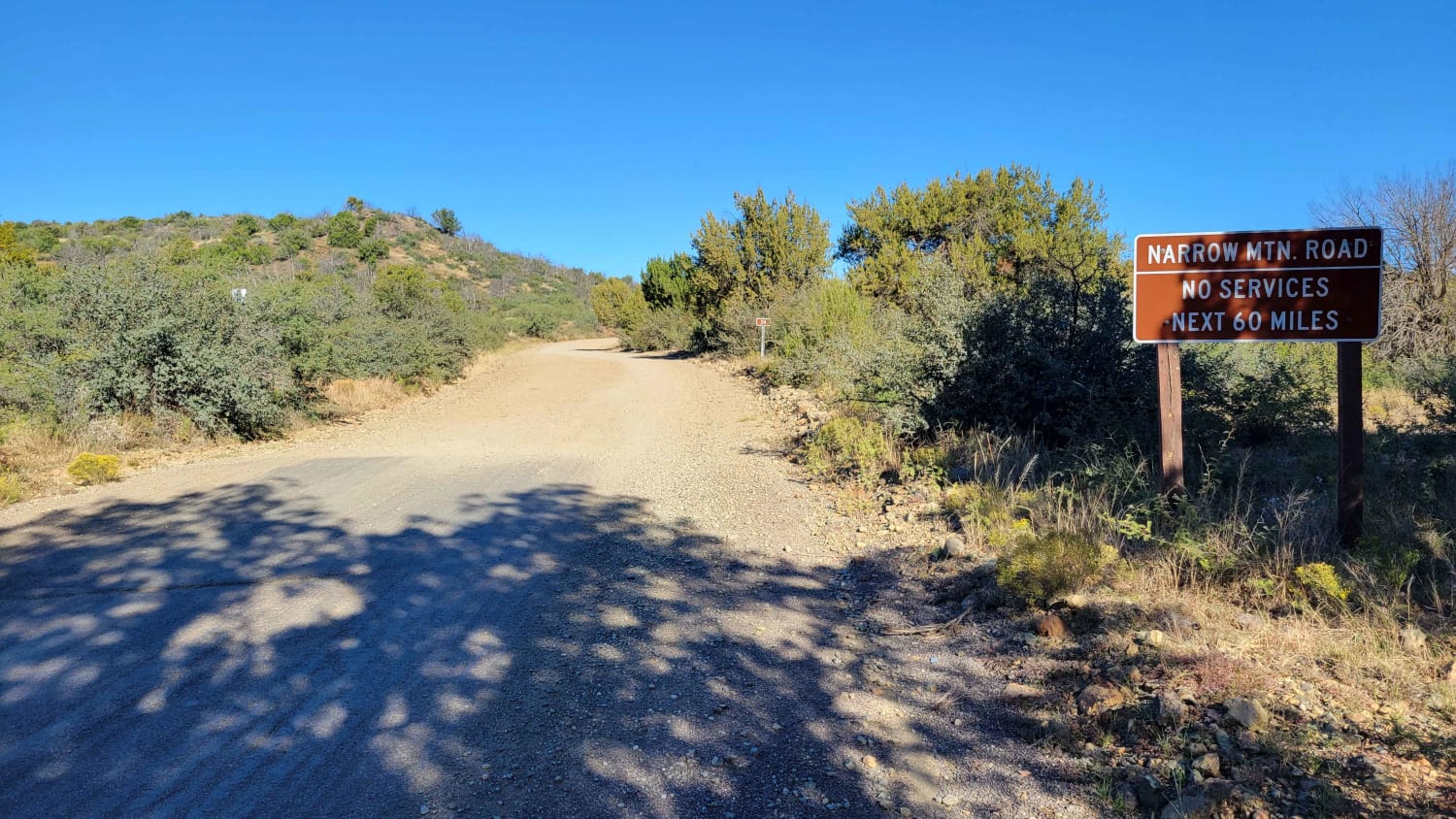
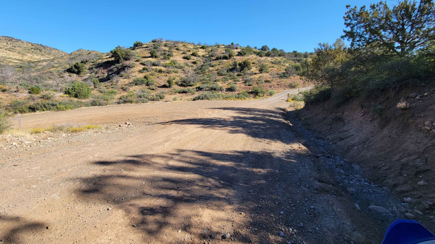
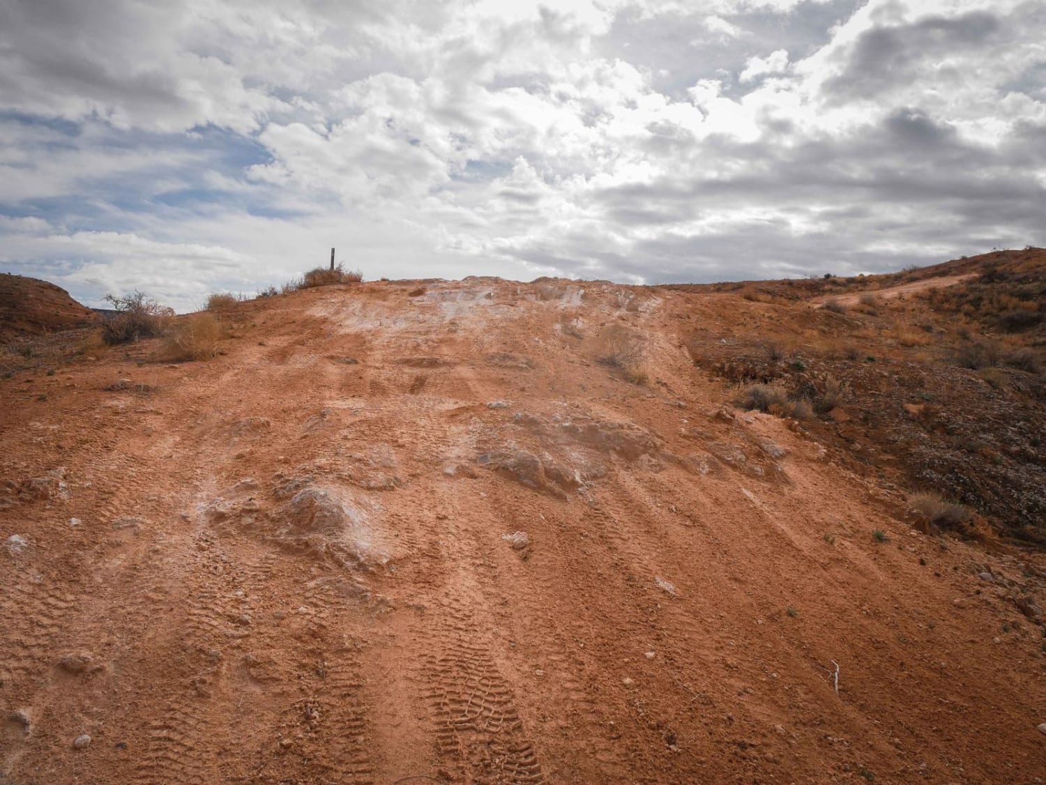
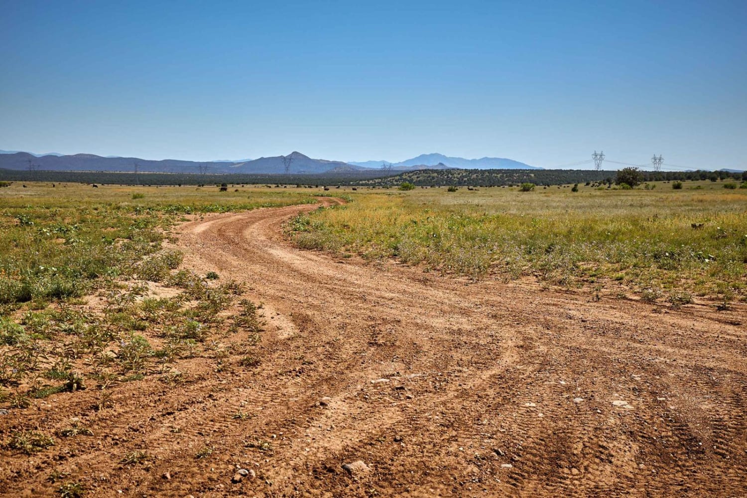
This easy dirt road section is the start/end of a 60-mile trail. It leads to the top of the mesa with beautiful desert views and scattered primitive camping. Connects to the (OnX) New River trail. On the south end, there are a couple of established campgrounds, as well as a small staging area. There is a small wash crossing in the beginning - do not cross in flooding situations. Two posted signs: "Not suited for wet weather travel or low clearance vehicles" and "Narrow Mountain Road - No Services next 60 miles".
Photos of Mesa Connection
Difficulty
This easy dirt road section is the start/end of a 60 mile trail. It leads to the top of the mesa with beautiful desert views and scattered primitive camping. Connects to the (OnX) New River trail. On the south end there are a couple of established campgrounds, as well as a small staging area. There is a small wash crossing in the beginning - do not cross in flooding situations. Two posted signs: "Not suited for wet weather travel or low clearance vehicles" and "Narrow Mountain Road - No Services next 60 miles".
Mesa Connection can be accessed by the following ride types:
- High-Clearance 4x4
- SUV
- SxS (60")
- ATV (50")
- Dirt Bike
Mesa Connection Map
Popular Trails
Muggins Mountain Wash
Tri Canyon Traverse

Metal Masher Boulder Wash Spur
The onX Offroad Difference
onX Offroad combines trail photos, descriptions, difficulty ratings, width restrictions, seasonality, and more in a user-friendly interface. Available on all devices, with offline access and full compatibility with CarPlay and Android Auto. Discover what you’re missing today!
