2030 ATV
Total Miles
1.7
Technical Rating
Best Time
Spring, Winter, Fall
Trail Type
50" Trail
Accessible By
Trail Overview
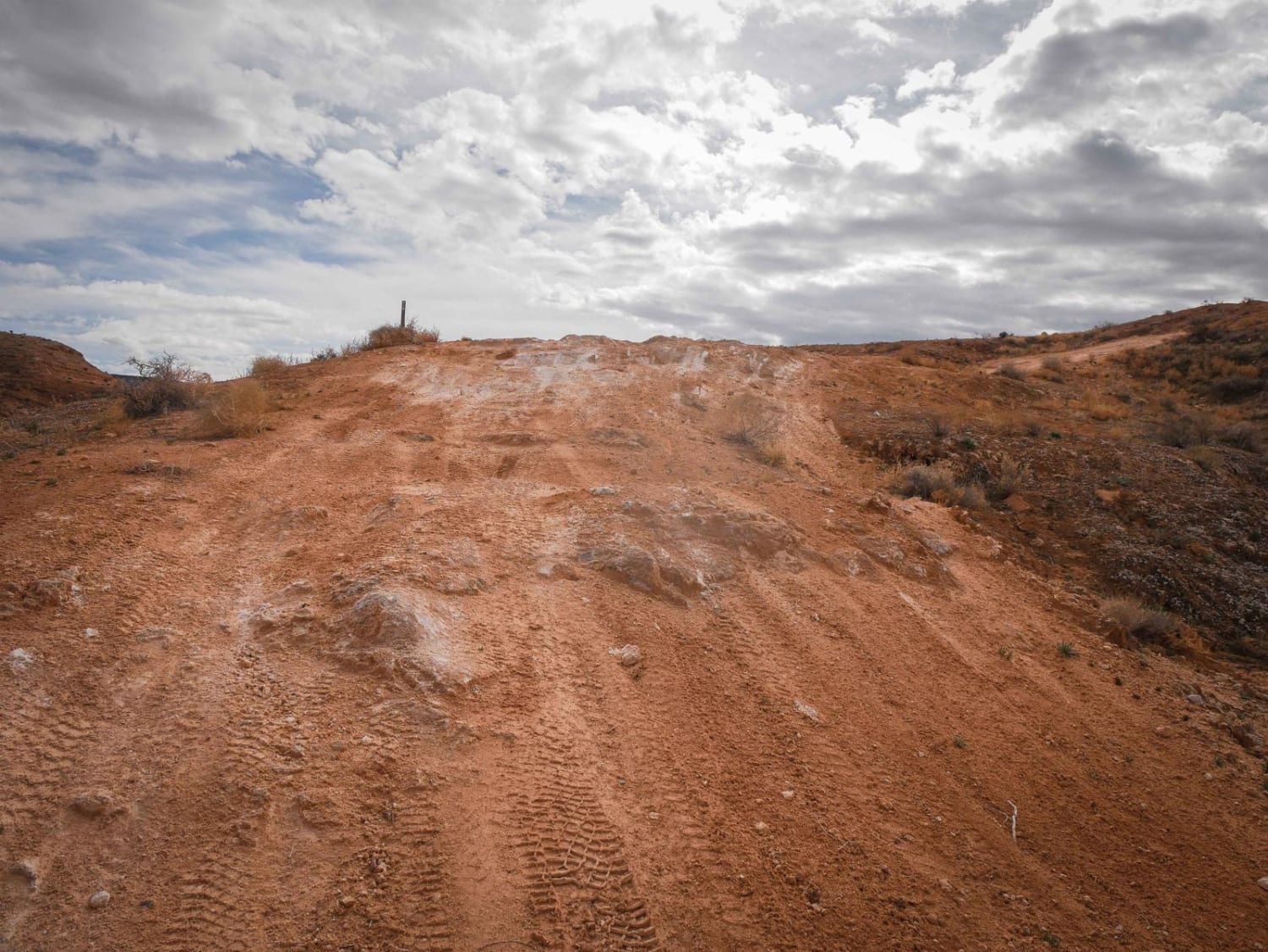
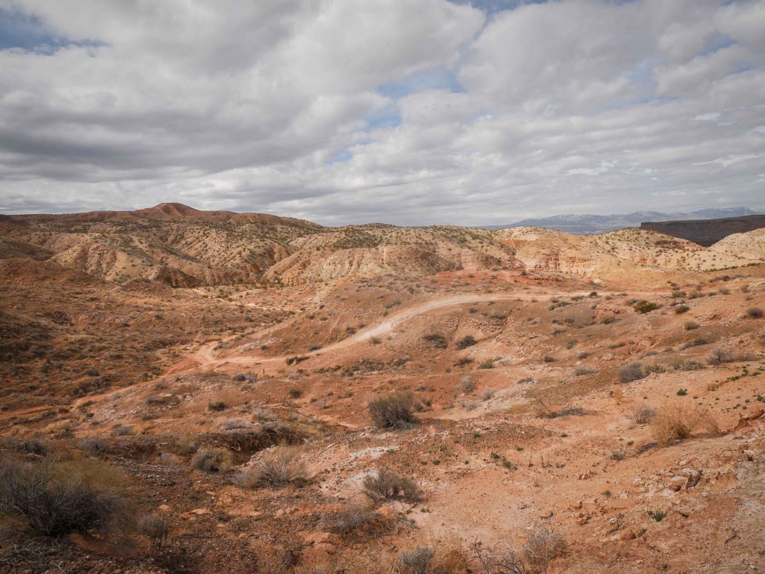
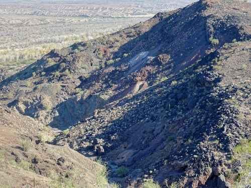
2030 is an almost 2-mile-long ATV Trail in the Arizona Strip OHV area on the northern border of Arizona. It's overall pretty easy since it's pretty wide without any significant obstacles, but it does go atop a ridgeline with some embedded rock surfaces. The trail has some loose dirt and drops into a wash that has rocky sections. It goes through a really scenic area in the northern Arizona desert that looks like badlands, and you get high-up views above the badlands while riding on the ridgeline. It goes into a scenic gravel wash that has some larger rocks and layers of rock across the trail, but there's nothing too difficult for a dirt bike or ATV. It narrows up in a couple of spots and has some tight corners in the wash where you need to watch out for oncoming traffic. It's helpful to have a GPS track because there are lots of unmarked offshoots out of the wash. The trail goes in and out of several washes, up and over small hills, although it's mostly flat, but does have some whoops. It connects the 2034 ATV Trail on the north end down to another ATV trail.
Photos of 2030 ATV
Difficulty
This is an easy ATV trail with features such as tight corners and rocky surfaces but no significant obstacles.
Status Reports
2030 ATV can be accessed by the following ride types:
- ATV (50")
- Dirt Bike
2030 ATV Map
Popular Trails
El Supremo
Good Enough For The Cows
Planet Mine

Black Range Mine
The onX Offroad Difference
onX Offroad combines trail photos, descriptions, difficulty ratings, width restrictions, seasonality, and more in a user-friendly interface. Available on all devices, with offline access and full compatibility with CarPlay and Android Auto. Discover what you’re missing today!
