Black Range Mine
Total Miles
3.2
Technical Rating
Best Time
Spring, Summer, Fall, Winter
Trail Type
High-Clearance 4x4 Trail
Accessible By
Trail Overview
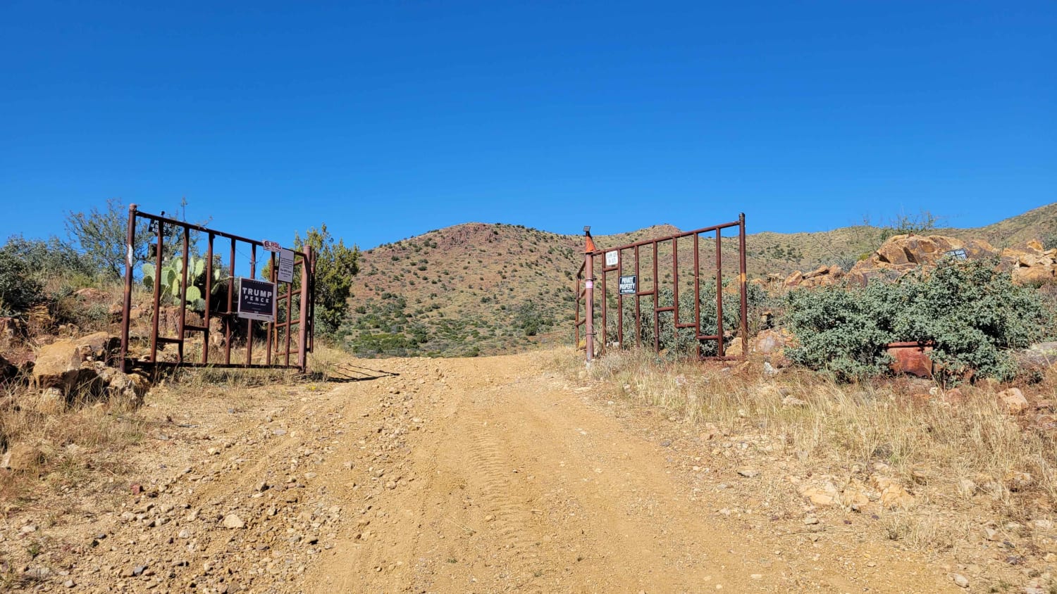
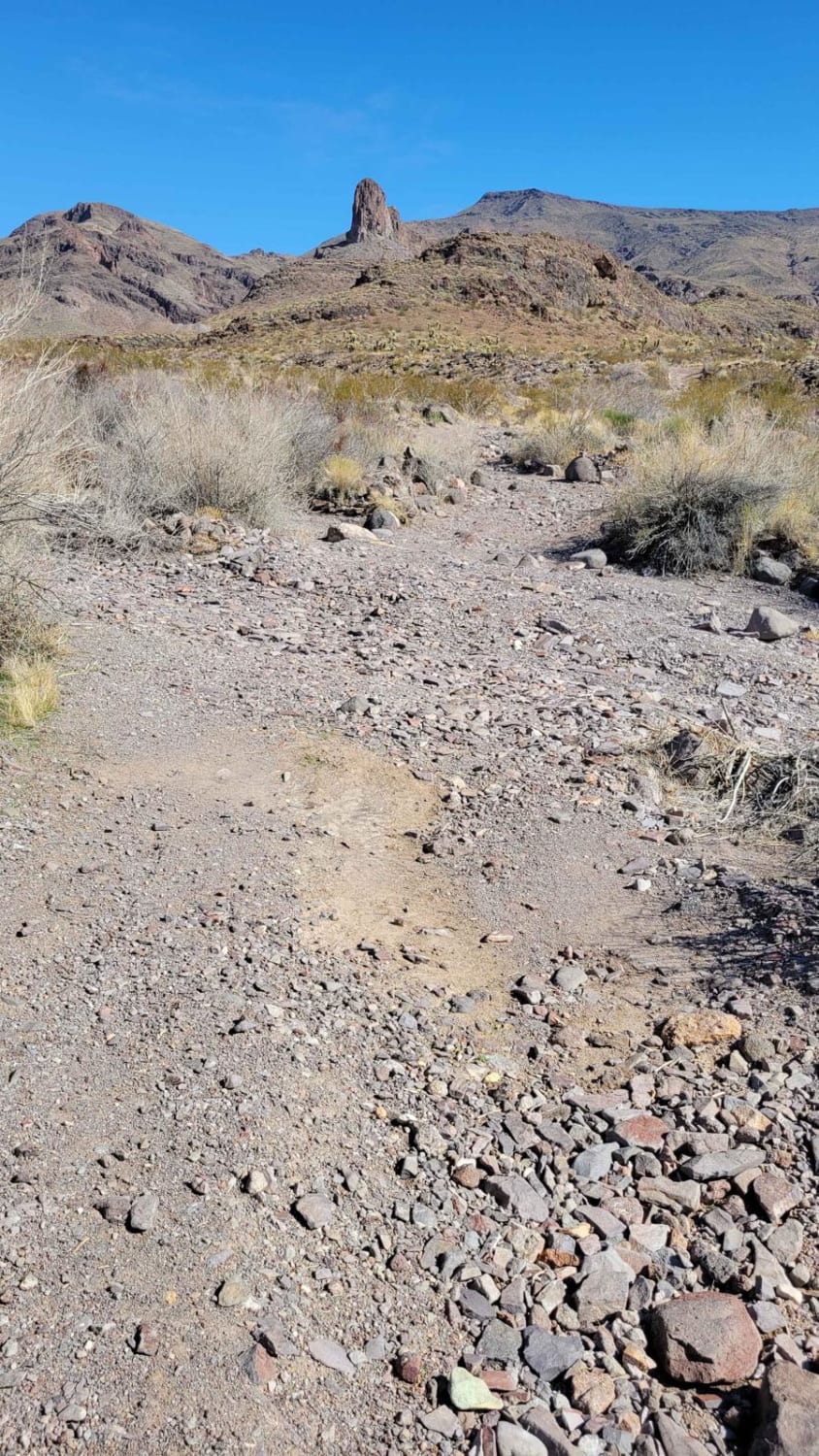
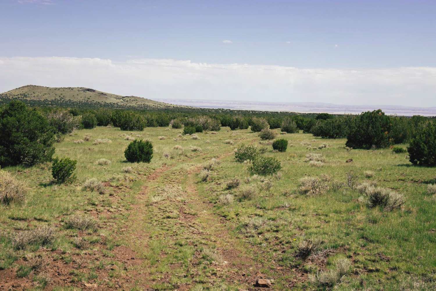
Get ready for a mine-sweeping adventure with the Black Range Mine trail! What begins on public BLM land crosses private property lines but is fortunately open to public access (at the time of mapping). So far there are no gates or signs that deter access--please respect the area and the old mines so that this trail can remain open for continued use and enjoyment. The route is mapped as an out-and-back, but several connecting trails are along the way for further exploring the area. The trail begins as an easy two-track as you travel down the hill. Once you reach the river wash at the bottom of the hill, the trail becomes more rocky and erosion-damaged with a brief off-camber section. Beyond that section, it smooths back out until getting deep up in the hills. The area has several open, vertical mine shafts and one large horizontal shaft down in the wash. Use extreme caution around these open shafts. Remnants of buildings and foundations are still visible in places. If attempting the loop at the end, the west side (left) is very steep with loose rocks and erosion damage. Going around the east side (right) is much easier. Be safe and have fun exploring.
Photos of Black Range Mine
Difficulty
The trail begins as an easy two-track as you travel down the hill. Once you reach the river wash at the bottom of the hill, the trail becomes more rocky and erosion-damaged with a brief off-camber section. Beyond that section, it smooths back out until getting deep up in the hills.
History
The Black Range Mine is a gold mine at an elevation of 2,041 feet located in close proximity to Oatman, Arizona, within the Oatman-San Francisco Mining District. The mine is presently inactive, and there are no current plans to resume operations. The geological features of the surrounding region are predominantly defined by the Mexican Highland of the Intermontane Plateaus. This geomorphological characteristic contributes to the unique landscape and geological formations found in the area surrounding the Black Range Mine.
Status Reports
Black Range Mine can be accessed by the following ride types:
- High-Clearance 4x4
- SxS (60")
- ATV (50")
- Dirt Bike
Black Range Mine Map
Popular Trails

Sleeping Princess

Nacho's Bar Cutover Tight Squeeze

Walnut Spring Trail
The onX Offroad Difference
onX Offroad combines trail photos, descriptions, difficulty ratings, width restrictions, seasonality, and more in a user-friendly interface. Available on all devices, with offline access and full compatibility with CarPlay and Android Auto. Discover what you’re missing today!


