Loop Road Trail FR Rd 636
Total Miles
1.8
Technical Rating
Best Time
Spring, Summer, Fall
Trail Type
Full-Width Road
Accessible By
Trail Overview
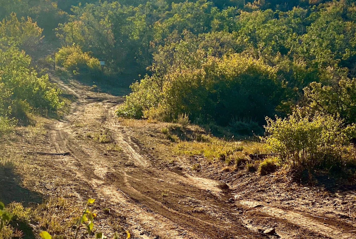
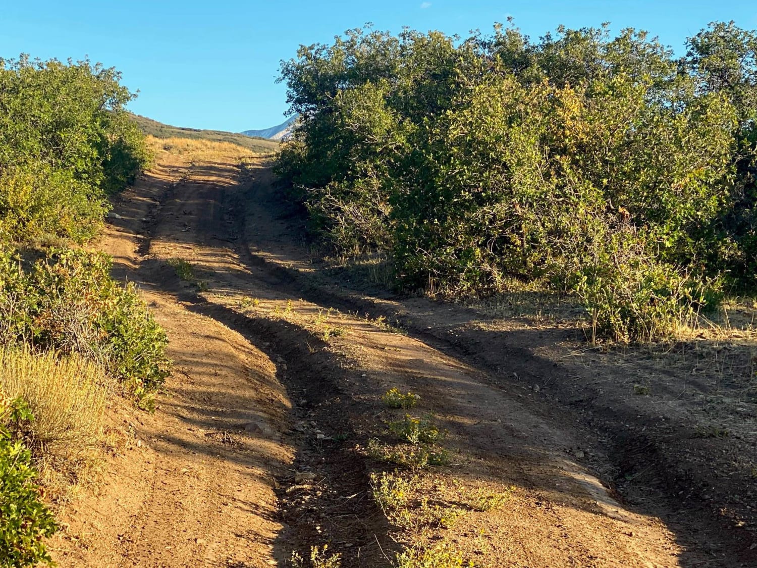
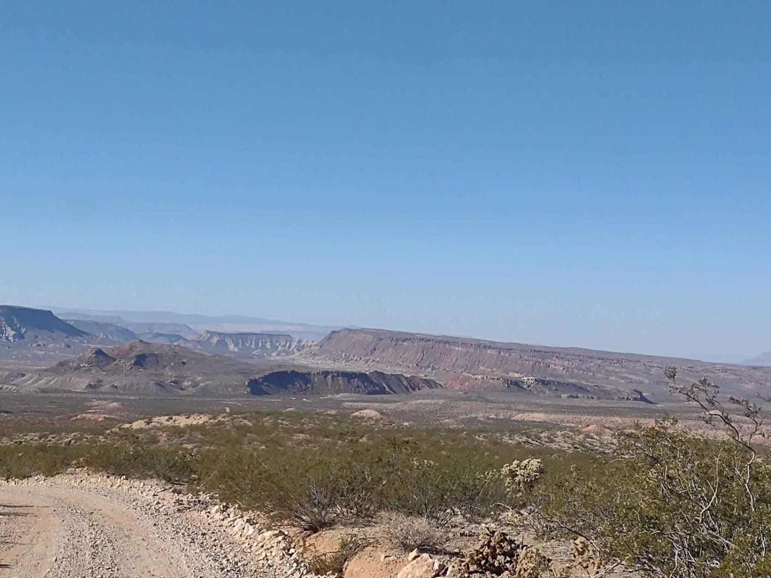
This loop road goes from the Kokopelli Trail to the Tracking Station Road. It winds around, up and down with several crossings of the Jimmy Keen hike and bike trail. There is a single spot to camp in the lower section of the road next to one of the crossings. The road mainly serves the purpose of connecting the other two trails. There is a spectacular area to camp however, near the Tracking Station Road end with a bluff overlooking the valley and setting sun. The odds of anyone else being on Loop road are slim. Limited cell service available, you need to be self sufficient.
Photos of Loop Road Trail FR Rd 636
Difficulty
This road is a simple dirt rut road. Nothing difficult all 2WD. There is a section which is narrow and one vehicle wide, with little spots to pass. The odds of seeing anyone else on this road are slim to none though.
Popular Trails
Sky Ranch Overlook

Great Western Trail
Far East Access Road to Hurricane Wash
The onX Offroad Difference
onX Offroad combines trail photos, descriptions, difficulty ratings, width restrictions, seasonality, and more in a user-friendly interface. Available on all devices, with offline access and full compatibility with CarPlay and Android Auto. Discover what you’re missing today!
