Firewood
Total Miles
3.9
Technical Rating
Best Time
Spring, Summer
Trail Type
Full-Width Road
Accessible By
Trail Overview
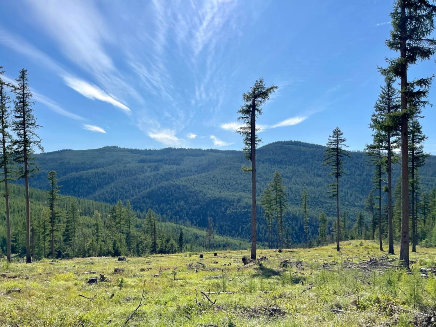
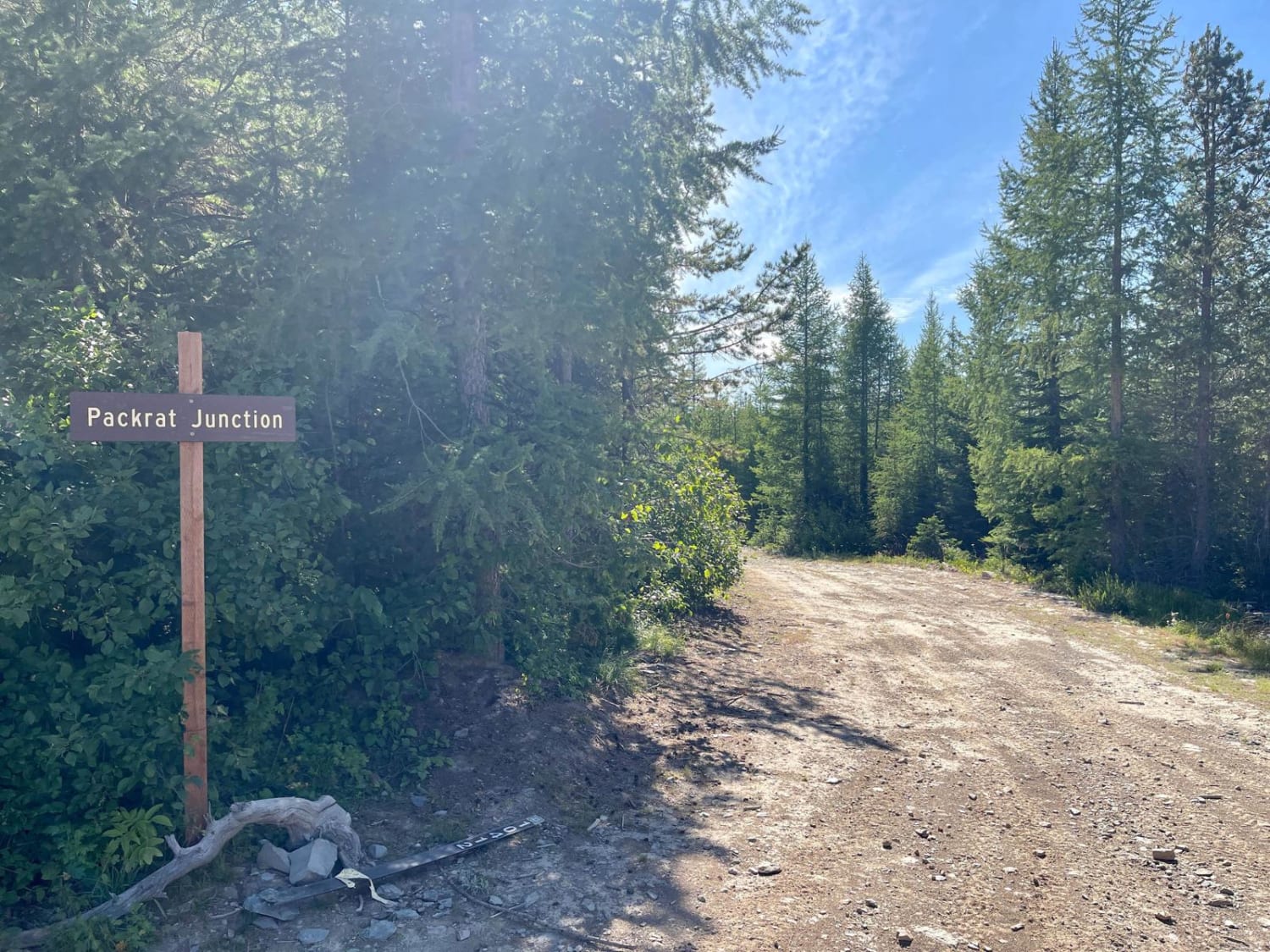
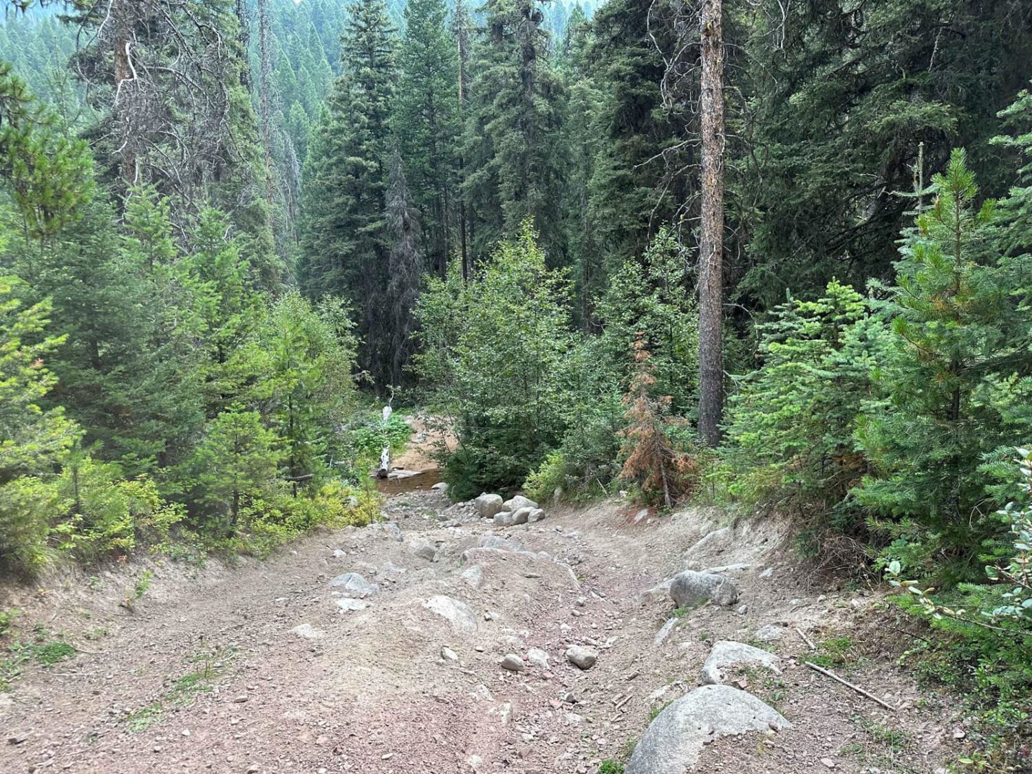
This route begins off the Wild Bill Eagle Mountain trail to the south at Packrat Junction. Overall this is a smooth narrow well-graded trail. It provides easy access to the Mudhole Rendevous Point and Wild Bill Eagle Mountain without any challenges. From Packrat Junction, the trail starts as an easy two-track. It then descends into the thick forest. Once rolling, there are a few small pullouts for oncoming vehicles. Some also have old fire rings from the existence of overnight visitors. Here and there, the trees along the trail clear well enough to allow for an outstanding view of the mountains and valleys in the area. The middle access route leads directly to the Mudhole Junction, a popular rendezvous point in the Wild Bill OHV area. Mudhole Junction also has a great established metal fire ring. From here, it's a short shelf road that continues down the hill to link up with the Wild Bill Creek access trail. There are pullouts for oncoming traffic, and one bar of Verizon LTE fades in and out while there is T-Mobile 5G at the top. This trail does not offer any of the offshoot challenges like the main OHV system.
Photos of Firewood
Difficulty
This trail is mostly narrow two-track with pullouts. The trail system is open in wintertime but deep snow makes the trail much more challenging. There is no winter maintenance. The summer and fall months can be dry; expect dusty trail conditions.
History
The Blacktail Wild Bill OHV trail was designated a National OHV trail in 1979. Over the years, two local clubs (Skyliners and Big Sky 4 Wheelers) have maintained the trail and built challenging features. The clubs have work weekends where they clean trash and do maintenance on the trail. In 2018 and 2019, Big Sky 4 Wheelers worked with the Forest Service to build and install kiosks on the trail to identify trail routes.
Status Reports
Popular Trails
Second Creek Road-Eddy Creek Road 4 Corner
West Fork Pilgrim Creek
South Boulder Creek Loop

Bangtail Creek Loop ATV
The onX Offroad Difference
onX Offroad combines trail photos, descriptions, difficulty ratings, width restrictions, seasonality, and more in a user-friendly interface. Available on all devices, with offline access and full compatibility with CarPlay and Android Auto. Discover what you’re missing today!
