445E
Total Miles
6.5
Elevation
1,795.07 ft
Duration
1 Hours
Technical Rating
Best Time
Spring, Fall
Trail Overview
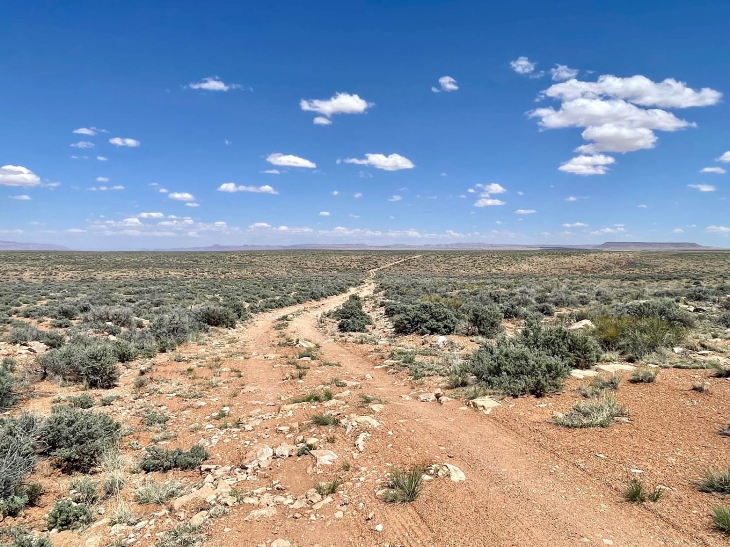
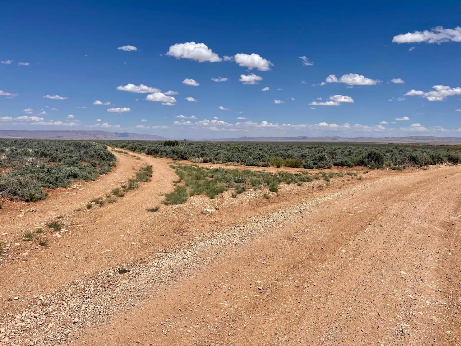
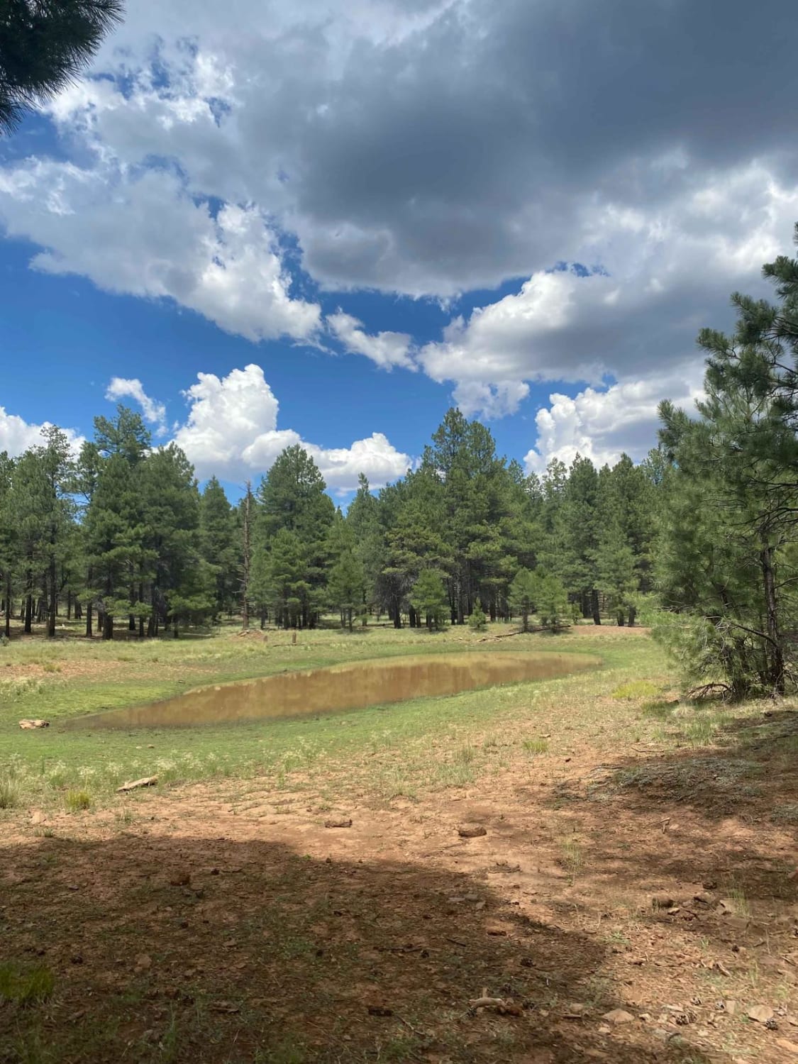
This longer out-and-back runs from the main graded trail to a stunning canyon overlook. The views go for miles, though, and it looks like the trail extends all the way to the horizon and then some. Not many camping options exist along the route. There are occasional flat spots near wildlife watering troughs but no established fire rings. Fields of sage will surround you, and small birds will dart in and out of your path as you drive along. The trail has small boulder fields to navigate. There are also some slightly off-camber sections as well as little shelves. The trail ends at a stunning viewpoint with the Colorado River flowing below. The swallows here are amazing, sometimes darting inches from your head as they feast on bugs. There is a single spot to camp at the end, although it's not the most level spot. If you are looking for camping, it's a long drive with the risk of someone being there. A few bars of LTE Verizon cell service on this trail fade in and out.
Photos of 445E
Difficulty
There are rocky boulder field sections. A few short shelves and some off-camber sections. The trail is narrow two track and oncoming traffic may have to reverse a bit in order to pass.
Status Reports
Popular Trails

CC Craigin (Blue Ridge) Reservoir

Nancy's Extension

Laguna Hills Canal Overlook
The onX Offroad Difference
onX Offroad combines trail photos, descriptions, difficulty ratings, width restrictions, seasonality, and more in a user-friendly interface. Available on all devices, with offline access and full compatibility with CarPlay and Android Auto. Discover what you’re missing today!


