Comb Ridge Descent
Total Miles
5.0
Elevation
1,804.50 ft
Duration
--
Technical Rating
Best Time
Fall, Spring
Trail Overview
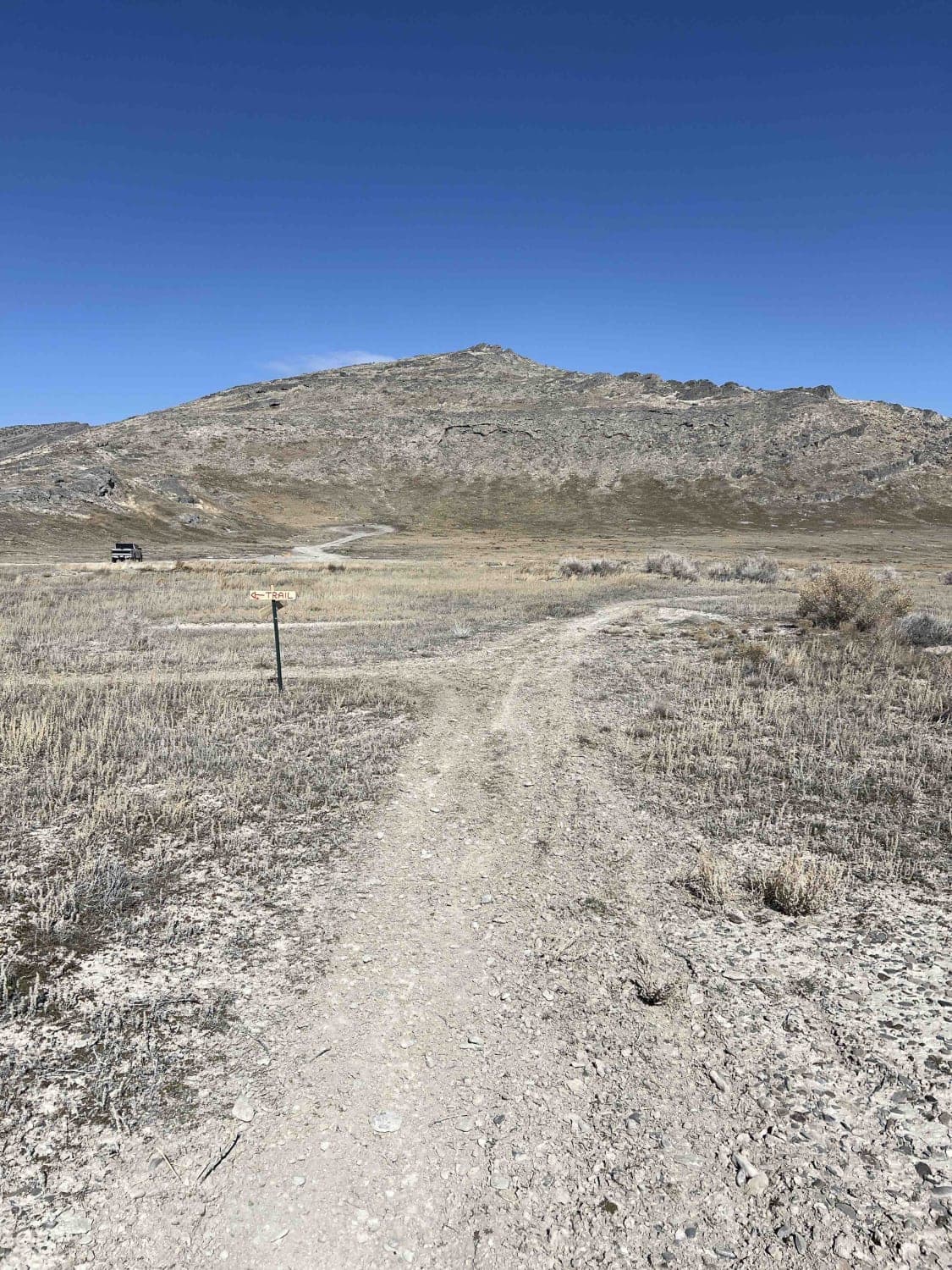
A narrow, rocky, steep, and challenging trail down the side of the Comb Ridge. The easiest way to tackle the trail is north to south, descending the ridge, but heading up it would for sure be more difficult. At least by 2x. There are rocky steep ledges of Slickrock, off-camber sections, and loose gravel right below steep ledges. The views are amazing as you work your way through the obstacles and narrow sections. There is almost nowhere for oncoming traffic to go by unless they are on Moto. It's a fun, challenging trail with great views. Well worth the trip if you are in the area. As you head to the highway, there is a water crossing that can get very deep after a storm. It may be impassable when wet and incredibly hot in the summer and snow-covered in winter. No cellular service.
Photos of Comb Ridge Descent
Difficulty
Slickrock, large ledges, up may be far more difficult than down.
Status Reports
Popular Trails

Fifth Water #015

Poverty Flats Turn Track

Waterhouse Rock Road

FS 40439 Loop
The onX Offroad Difference
onX Offroad combines trail photos, descriptions, difficulty ratings, width restrictions, seasonality, and more in a user-friendly interface. Available on all devices, with offline access and full compatibility with CarPlay and Android Auto. Discover what you’re missing today!

