Trail 37 - Hickory Creek Trail
Total Miles
3.2
Technical Rating
Best Time
Spring, Summer, Fall, Winter
Trail Type
Full-Width Road
Accessible By
Trail Overview
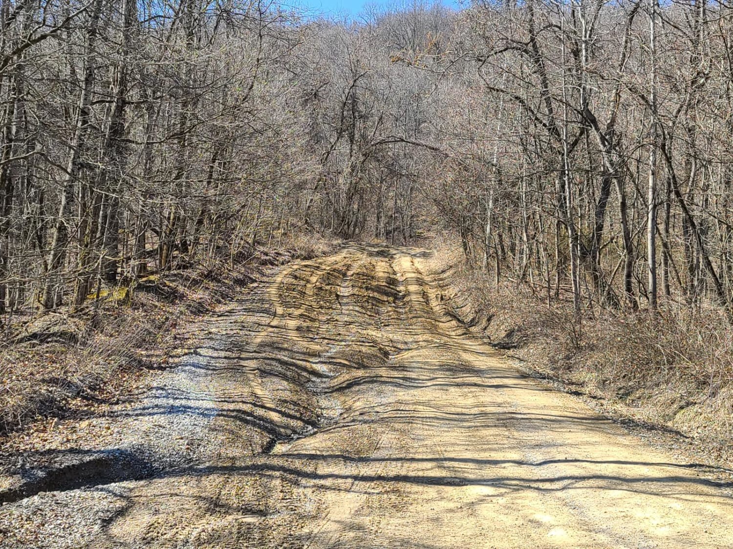
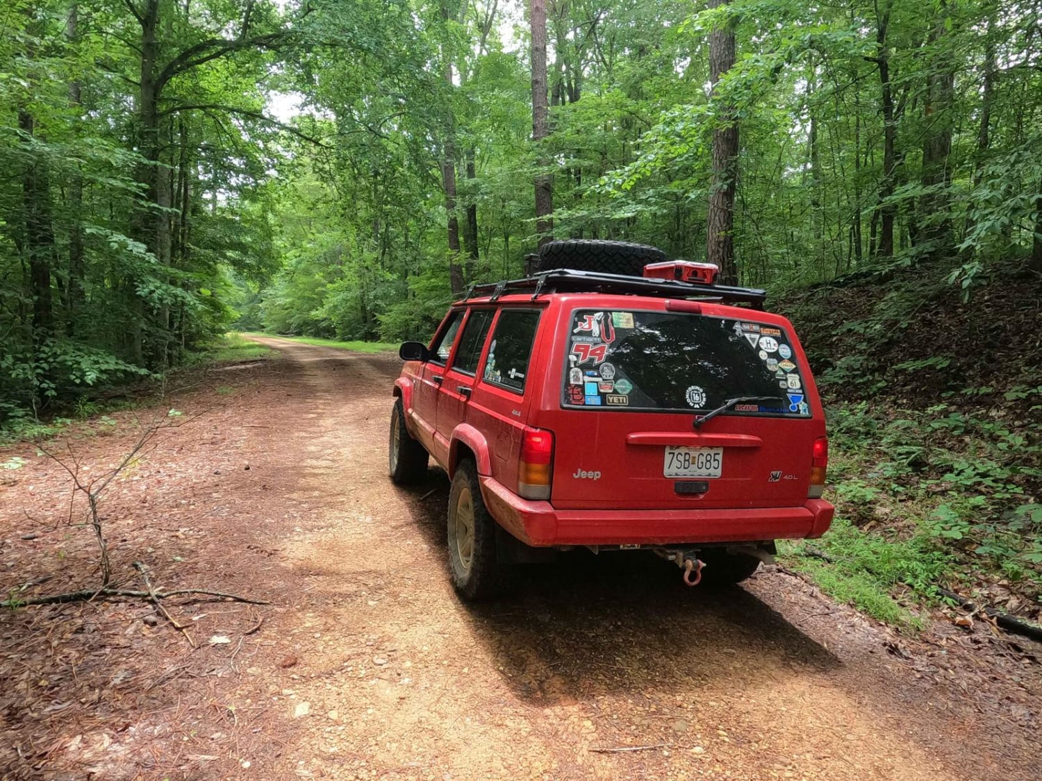
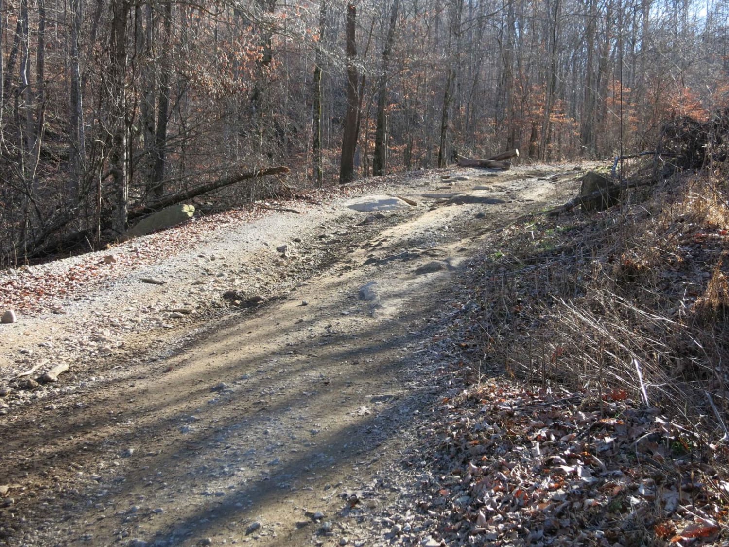
This trail is a wide rocky trail with small mud holes, transitioning to a single-track trail with longer mud holes, rocks, and water crossings near the end. At the end of the trail, you are rewarded with a waterfall and swimming hole. It draws a large crowd in the summer, so expect to get creative to pass large numbers of SXSs.The use of trails in the North Cumberland WMA requires a valid TWRA Riding permit (Type 38, 72, or 71 for Out of State) or the necessary hunting permits to hunt in the North Cumberland WMA (Type 001 and 093 for residents). These are available at https://license.gooutdoorstennessee.com/.
Photos of Trail 37 - Hickory Creek Trail
Difficulty
There are mud holes and water crossings usually around 12-18 inches but up to 24 inches when it's rainy or storming. Some of the water crossings have rocky bottoms and it is not recommended to approach them with speed. There are rocky sections that could be challenging for stock vehicles.
Popular Trails

Citico Creek North - FSR 35-1

Windrock P1/G1

7 - Ascension

Fox Hollow Hill FSR 218
The onX Offroad Difference
onX Offroad combines trail photos, descriptions, difficulty ratings, width restrictions, seasonality, and more in a user-friendly interface. Available on all devices, with offline access and full compatibility with CarPlay and Android Auto. Discover what you’re missing today!


