Bullion Peak Loop
Total Miles
2.3
Elevation
2,216.95 ft
Duration
0.5 Hours
Technical Rating
Best Time
Spring, Summer, Fall, Winter
Trail Overview
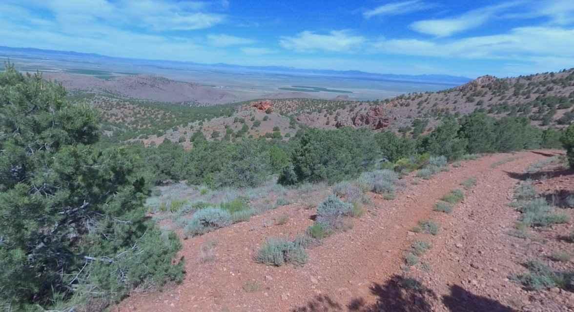
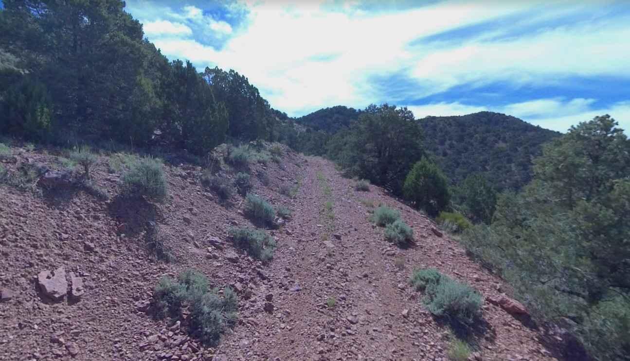
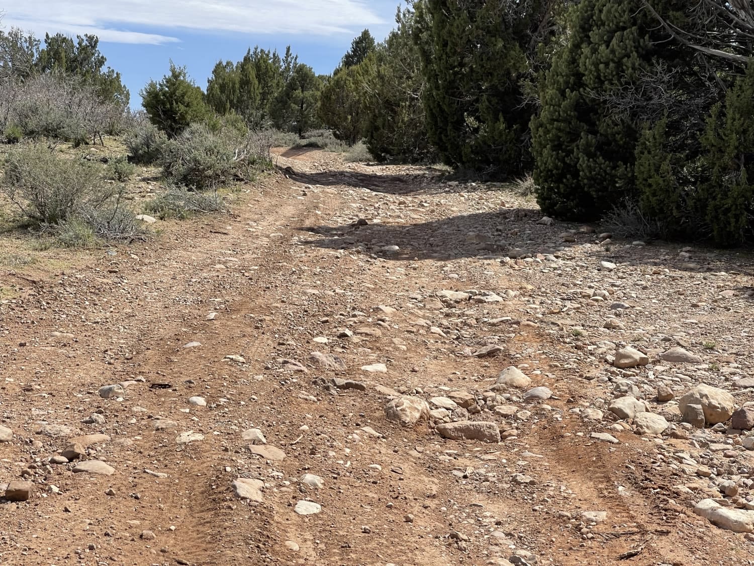
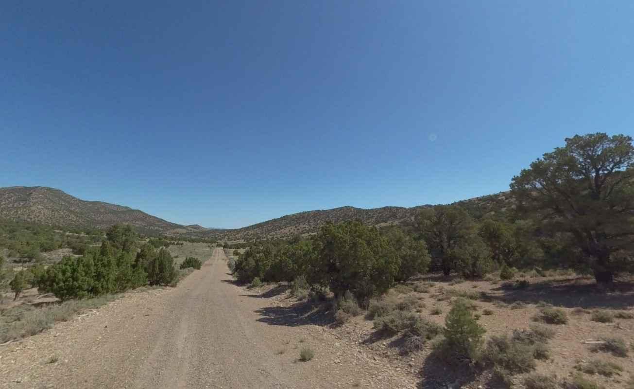
Bullion Peak Loop is a 2.2-mile point-to-point trail located in Iron County, Utah. The trail is one of several that create the Antelope Range Loop and includes a section of the Old Spanish Trail. Bullion Peak Loop is a compacted dirt single-track trail that provides scenic views east towards the Kolob Plateau. The trail provides a continuous downhill slope losing 800 feet over the 2-mile track. Cell phone service is intermittent. The nearest services are in Newcastle and Cedar City.
Photos of Bullion Peak Loop
Difficulty
The trail consists of loose rocks, dirt, and sand with some slickrock surfaces. Mud holes are possible, but there are no steps higher than 12 inches. 4WD may be required, and aggressive tires are a plus.
History
The Antelope Range is significant for several reasons. First is that the Historic Spanish Trail followed the western side of the range (see Sand Spring Road-Old Spanish Trail). The Spanish Trail was established in 1829 as a trade route from Santa Fe, New Mexico, and Los Angeles, California. Second is the historic Antelope Range (Silver Belt) mining district established in 1872, which still has 590 active claims as of 2022, located along the western side of the range. As the name suggests this was a major silver ore mining area with mine names such as Bright Angel, Bullion, Chloride Canyon, and Lucky Chance. Lastly, the entire Antelope Range is part of the Chloride Canyon Herd Management Area, a 64,000-acre reserve for wild horses. Characterized by vast acres of sagebrush and pinyon-juniper foothills, the region offers a variety of landscapes ranging from salt desert shrub flats to high mountains with riparian, aspen, and bristlecone pine.
Status Reports
Popular Trails
Juniper Ridge

Parker Mountain Trail (PMT) 14 to PMT 15

Conger Mountain OHV Route 5
The onX Offroad Difference
onX Offroad combines trail photos, descriptions, difficulty ratings, width restrictions, seasonality, and more in a user-friendly interface. Available on all devices, with offline access and full compatibility with CarPlay and Android Auto. Discover what you’re missing today!