Juniper Ridge
Total Miles
2.4
Elevation
1,818.93 ft
Duration
--
Technical Rating
Best Time
Fall, Summer, Spring
Trail Overview
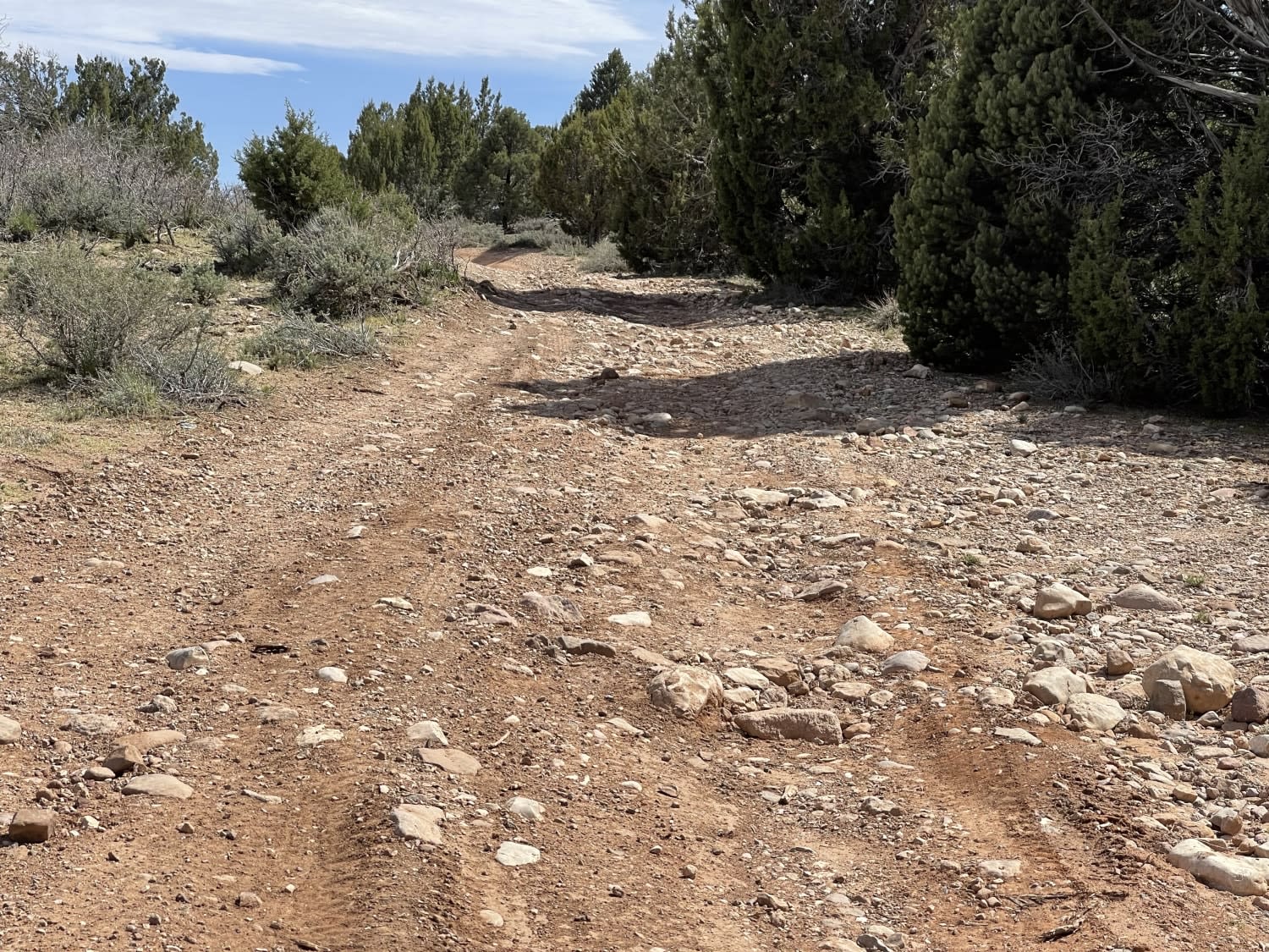
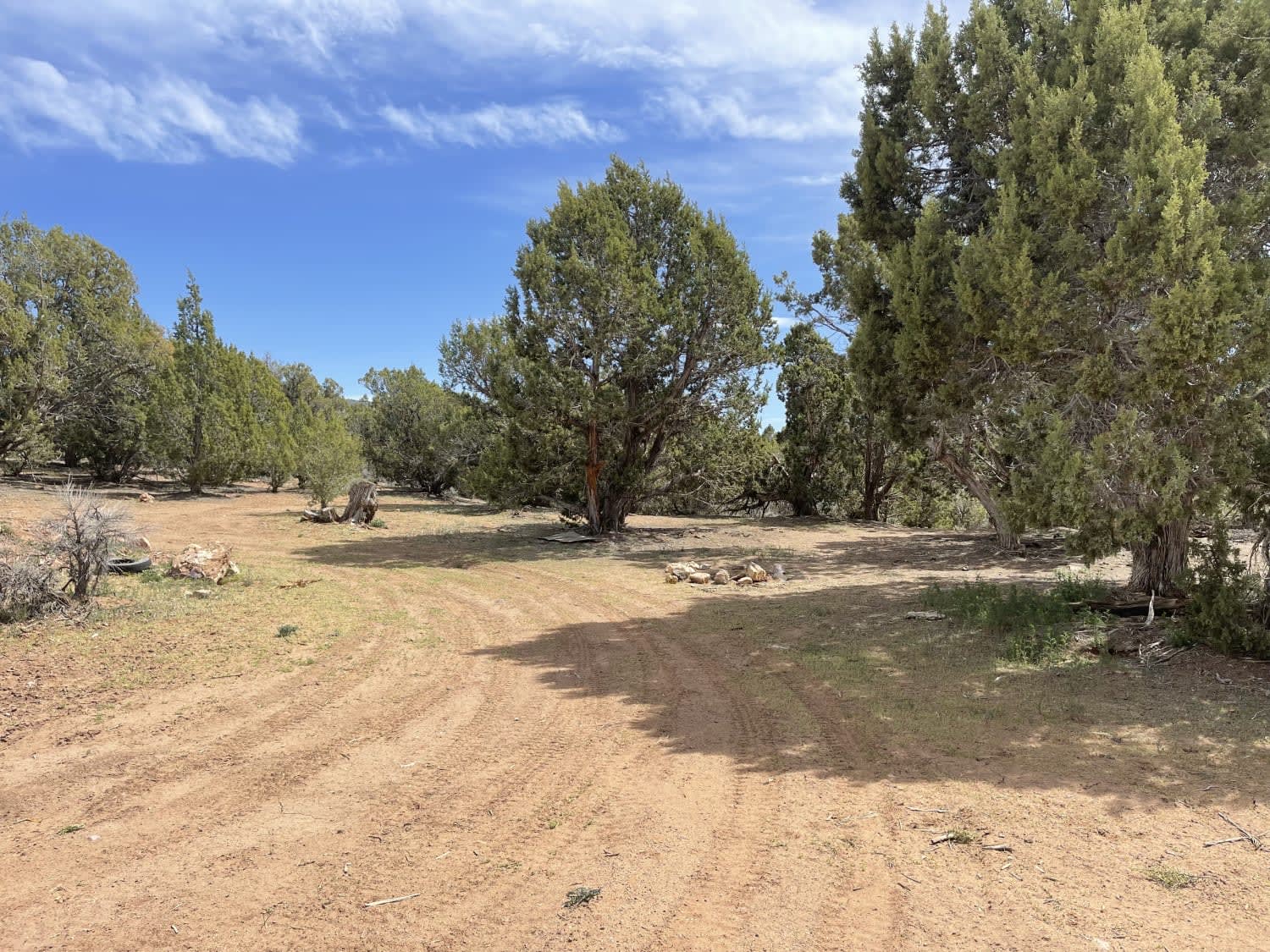
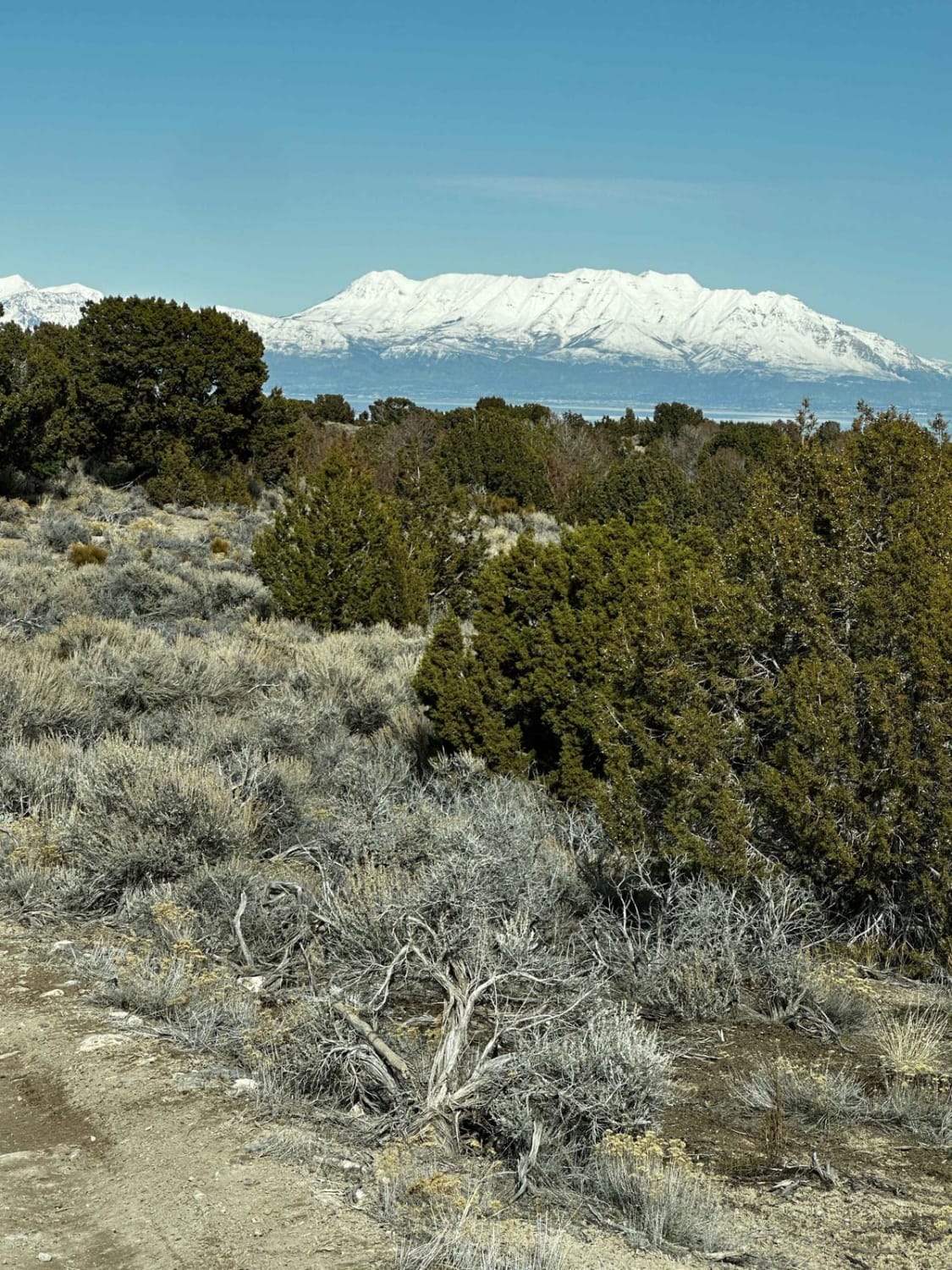
The easy trail heads up into the Juniper trees and follows the ridgeline for most of it. There are expansive views of the valley below, and if one pays attention, there are a few camping spots nestled into the trees. Near the top of the trail, it becomes more of a two-track, and there's a livestock tank in an open meadow. The trail ends at a T intersection that appears to be a less traveled two-track. Three bars of LTE cellular service.
Photos of Juniper Ridge
Difficulty
Mostly easy and rocky, with some looser sections, it gets narrow in some parts.
Status Reports
Popular Trails

Watts Mountain Road- FS 40111
Teah Flat Trail
Little Moab-Slant Pass
The onX Offroad Difference
onX Offroad combines trail photos, descriptions, difficulty ratings, width restrictions, seasonality, and more in a user-friendly interface. Available on all devices, with offline access and full compatibility with CarPlay and Android Auto. Discover what you’re missing today!
