Graham Coal Connect
Total Miles
3.5
Elevation
1,433.23 ft
Duration
0.75 Hours
Technical Rating
Best Time
Spring, Summer, Fall
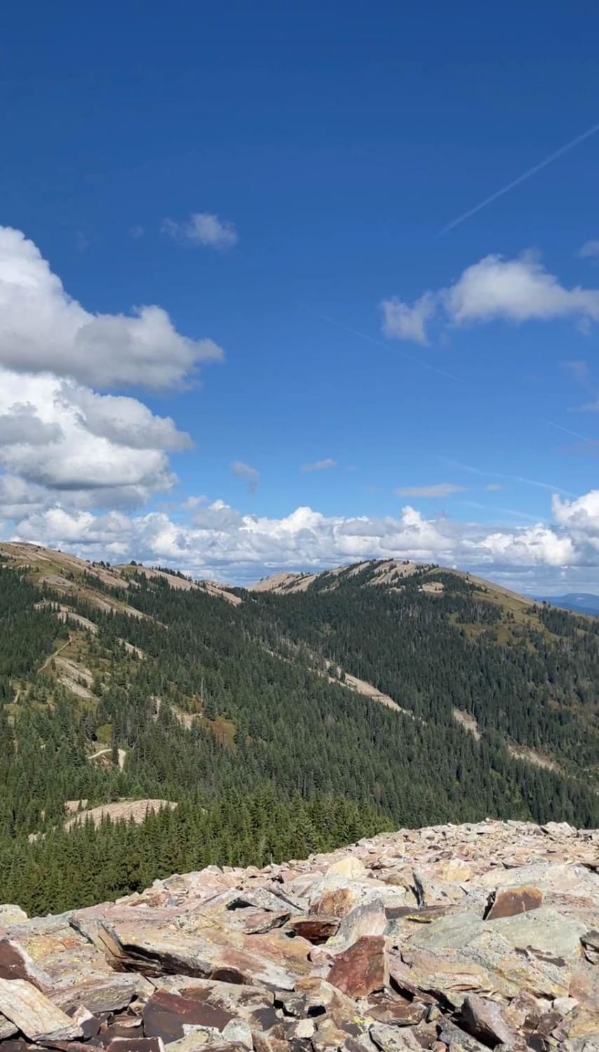
Trail Overview
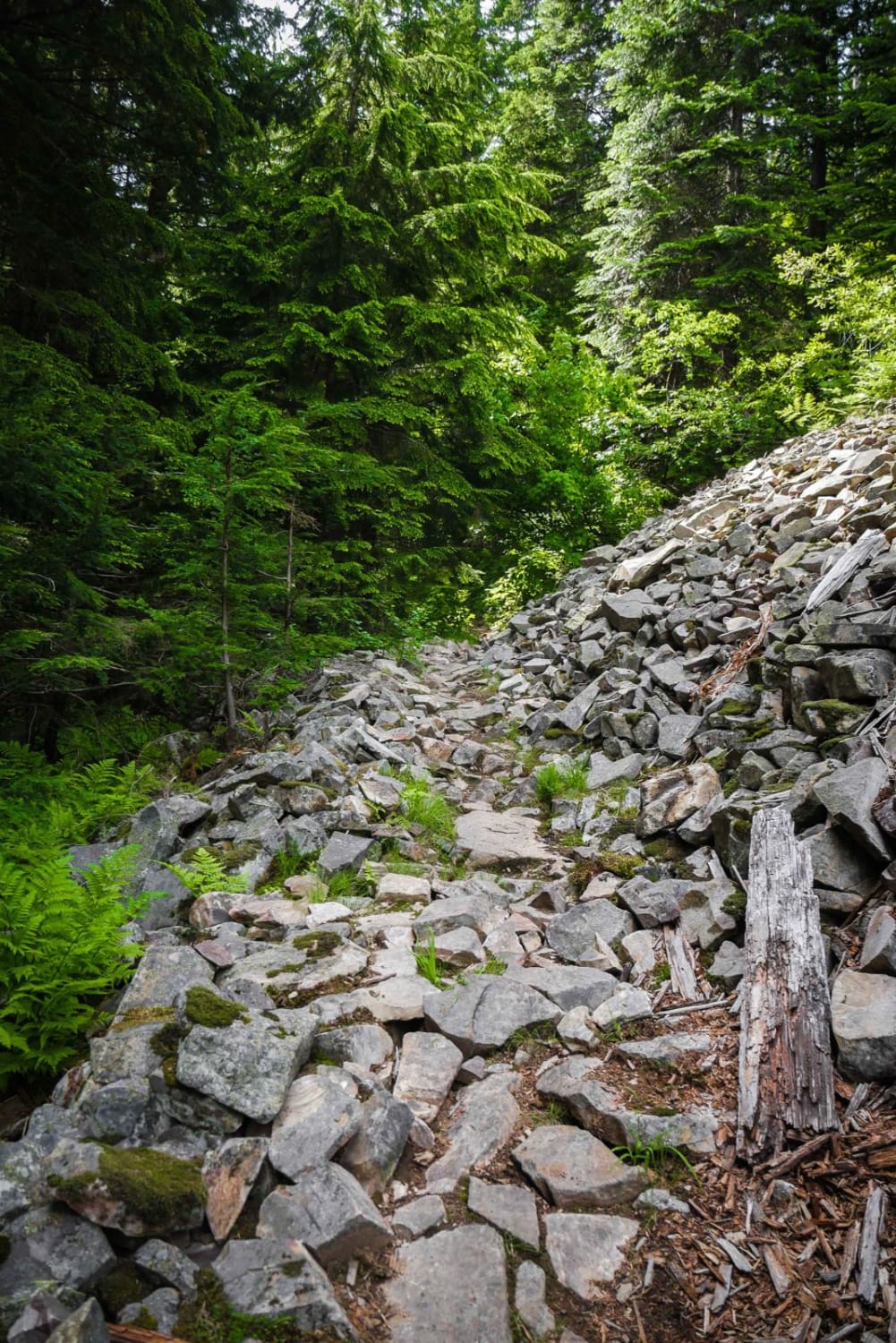
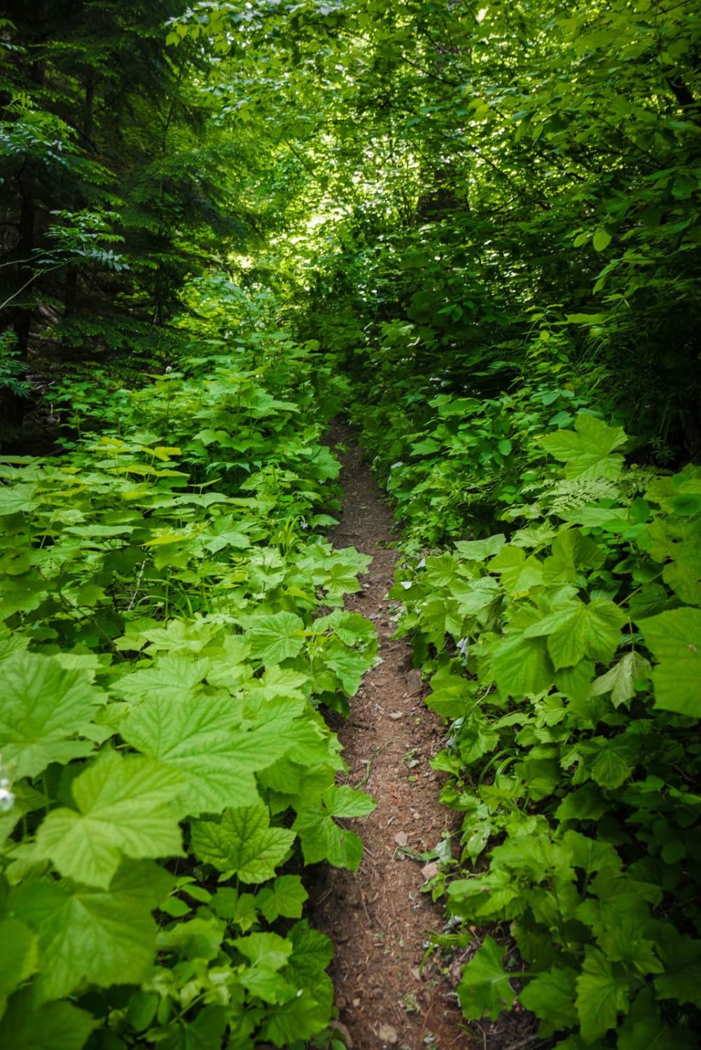
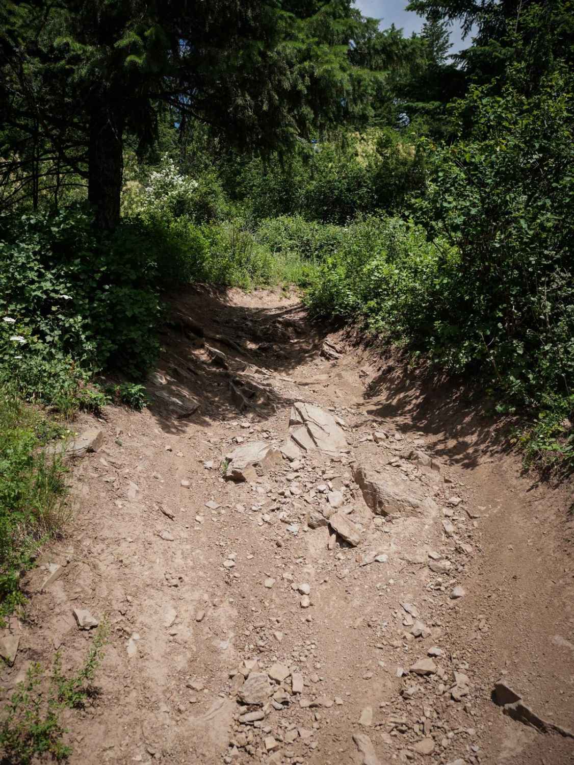
This 3.6-mile trail is a super challenging single track that connects Coal Creek and Graham Creek in the Coeur d'Alene National Forest. Much of the trail is very rocky and narrow, crossing several short scree fields, with switchbacks that are 180-degree hairpin turns and very tight. It follows a creek for much of the trail, with the narrow trail elevated above the creek and a couple of creek crossings. There were a couple of small rock stair steps, but most of the difficulty comes from the surface of the trail just being covered in rocks. The trail is pretty overgrown with lots of leafy branches sticking out and has the potential for downed logs. There was one log sticking out across the trail. It's got lots of steep sections as it loses 2,000 feet from Coal Creek to Graham Creek.
Photos of Graham Coal Connect
Difficulty
Overall this is a very technical trail with lots of rocky and narrow sections.
Status Reports
Popular Trails
Packsaddle Lake
Saint Joe Baldy
Springfield to Big Southern Butte
The onX Offroad Difference
onX Offroad combines trail photos, descriptions, difficulty ratings, width restrictions, seasonality, and more in a user-friendly interface. Available on all devices, with offline access and full compatibility with CarPlay and Android Auto. Discover what you’re missing today!