Woodpecker Trail, Ajax Mine
Total Miles
7.2
Elevation
1,108.13 ft
Duration
3 Hours
Technical Rating
Best Time
Spring, Fall
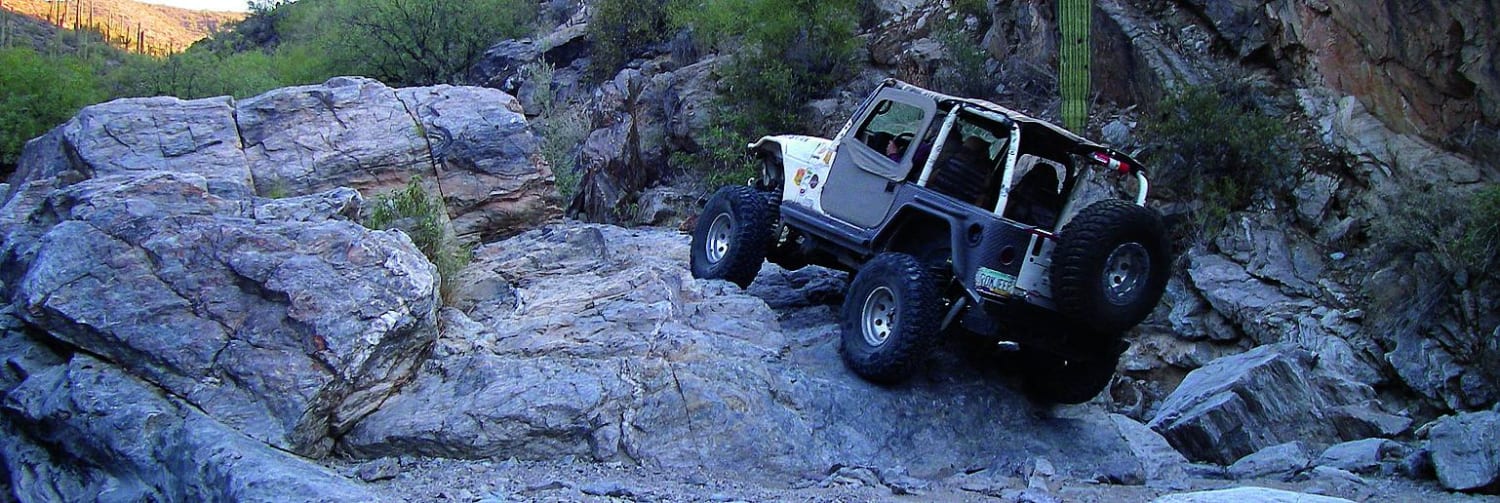
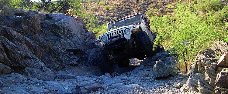
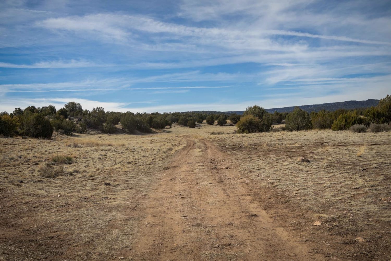
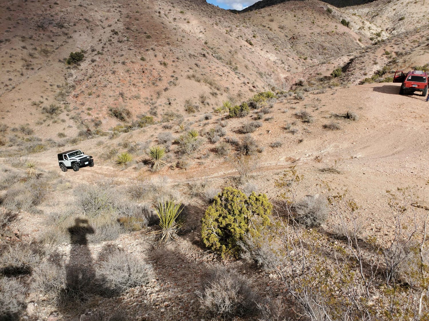
Trail Overview
This is a local hard-core favorite. Because of its difficulty, it's recommended to have one or two other vehicles and always bring water. You'll follow a rocky creek bottom with some washed out sections. There are a few scenic spots, but most of the time you'll have your eyes on the trail.
Photos of Woodpecker Trail, Ajax Mine
Difficulty
Difficult: Trail follows rocky creek bed with large boulders and narrow passages. Most difficult obstacles have bypasses. Lockers, skid plates and oversized tires a must. It's a good idea to carry extra parts.
History
At one time, the Woodpecker Mine was in danger of being closed. The Arizona State 4-Wheel-Drive Association purchased the mine to ensure the trail's access. Respect the area by staying on this route and packing out your trash.
Status Reports
Popular Trails
Hartman Wash/Hartman Homestead
Secret Pass Cutoff

2048 Single Track
The onX Offroad Difference
onX Offroad combines trail photos, descriptions, difficulty ratings, width restrictions, seasonality, and more in a user-friendly interface. Available on all devices, with offline access and full compatibility with CarPlay and Android Auto. Discover what you’re missing today!