Laguna San Ignacio
Total Kilometers
19.6
Technical Rating
Best Time
Spring, Winter, Fall
Trail Type
Full-Width Road
Accessible By
Trail Overview
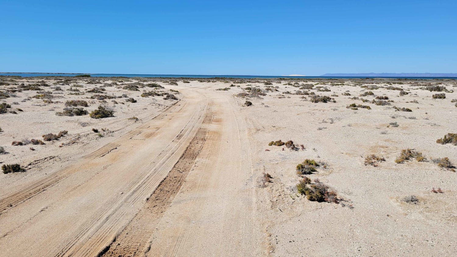
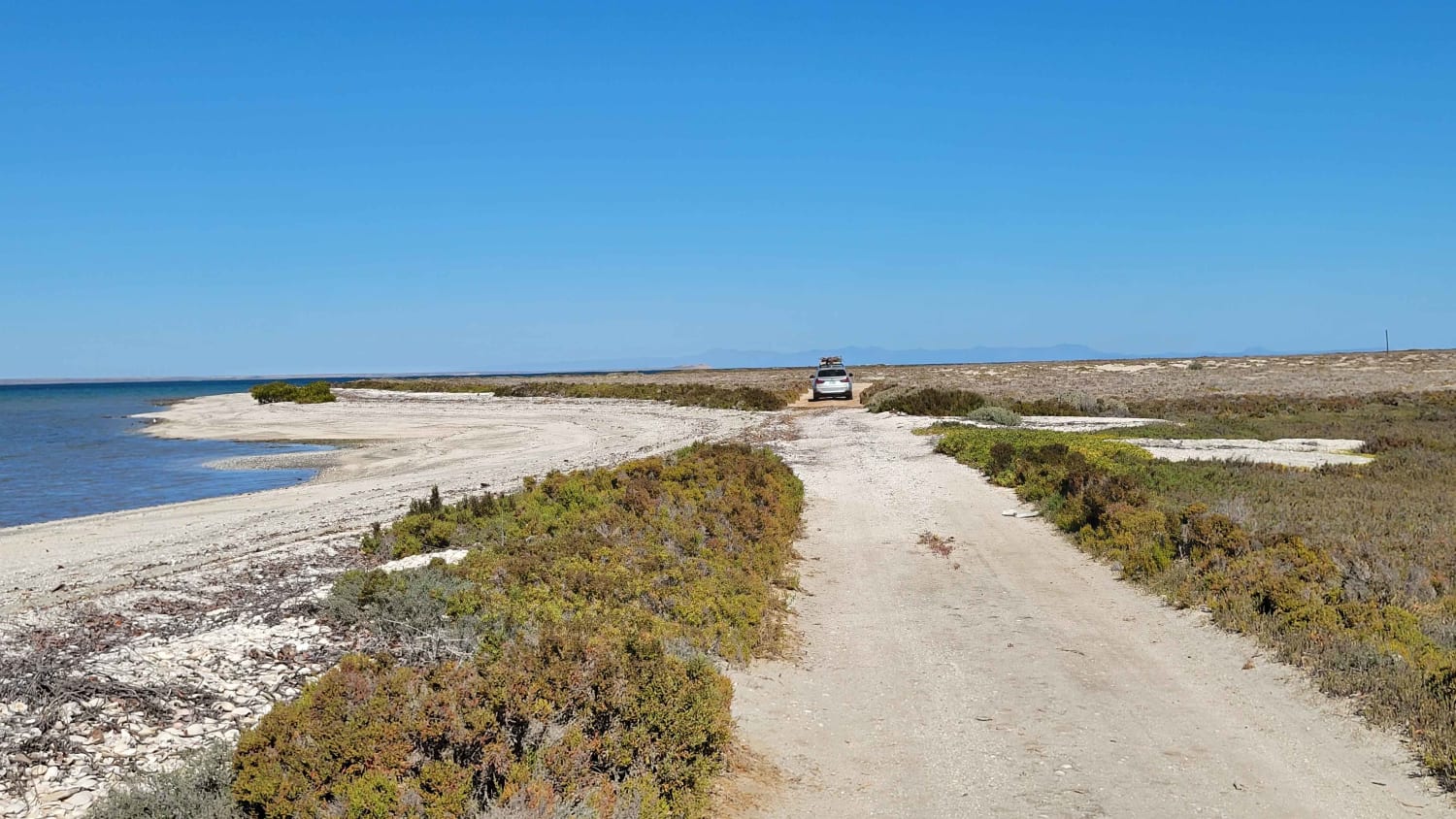
The road/trail out to the point is predominantly easy and well-packed, taking roughly a half hour to get out there from the main road. The only thing that could make this route difficult is if the trail becomes wet, either from rain or high tide towards the end (tip). If wet, sections could prove very challenging. Under dry conditions, the route is easy enough for 2WD. A few washboarded sections are present. Towards the shoreline, there are several spots to camp, all primitive. Please pack out what you pack in and leave no trace. On your way, you'll pass signs for whale-watching tours if interested while there. No cell service.
Photos of Laguna San Ignacio
Difficulty
The road/trail out to the point is predominantly easy and well-packed, taking roughly a half hour to get out there from the main road. The only thing that could make this route difficult is if the trail becomes wet, either from rain or high tide towards the end (tip).
Status Reports
Laguna San Ignacio can be accessed by the following ride types:
- High-Clearance 4x4
- SUV
Laguna San Ignacio Map
Popular Trails

Constitucion San Luis Gonzaga

San Antonio Lavado de Oasis

Santiago/Rancho Santa Rita

San Lucas to Presa las Palmas (Water Dam)
The onX Offroad Difference
onX Offroad combines trail photos, descriptions, difficulty ratings, width restrictions, seasonality, and more in a user-friendly interface. Available on all devices, with offline access and full compatibility with CarPlay and Android Auto. Discover what you’re missing today!

